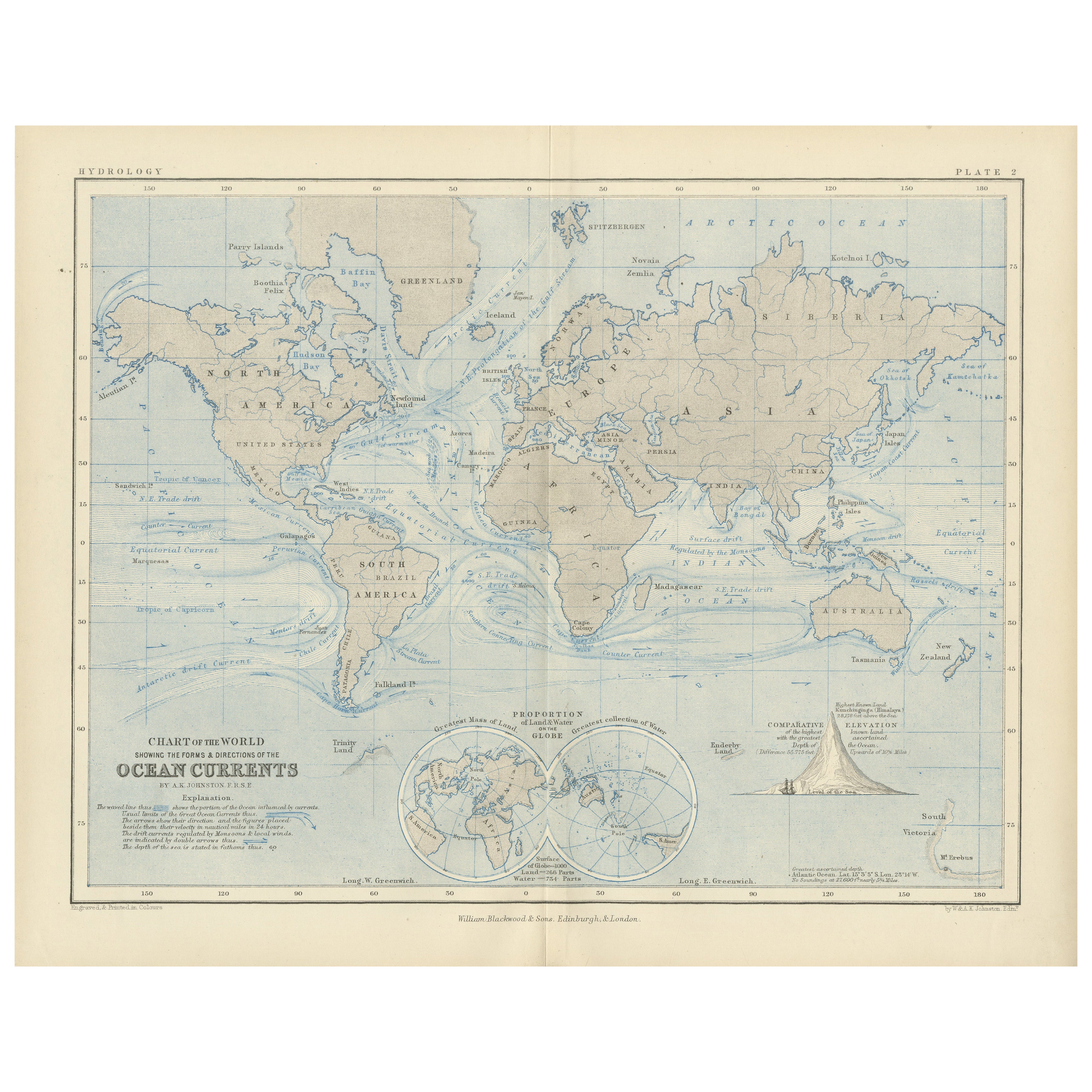
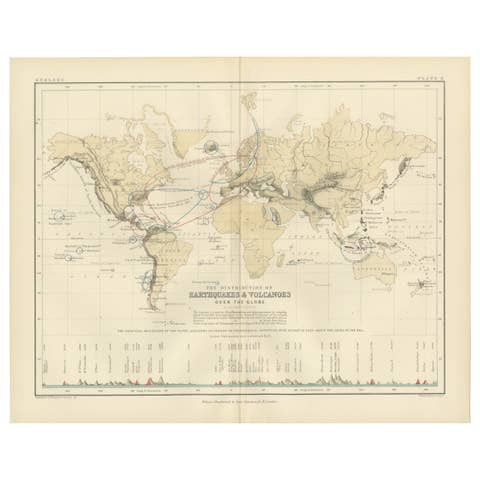
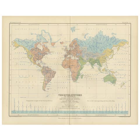
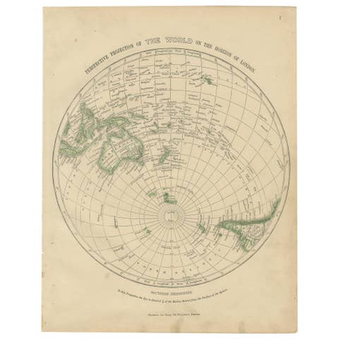
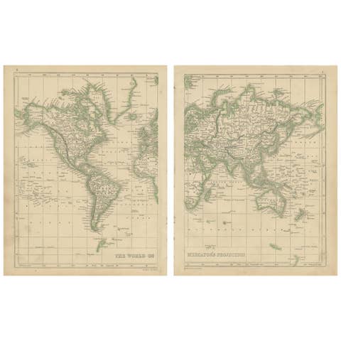
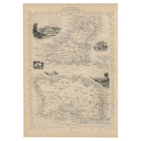
World Map of Ocean Currents by A.K. Johnston, Educational Print 1852
€ 240
One of a kind: this is the sheet in the photographs. Ships from Langweer, the Netherlands.
Date
1852
Sheet size
27.4 × 34.5 cm (10.8 × 13.6 in)
Condition
Good
Reference
BG-13207-2
Condition
Very good antique condition. Clean impression with light age-toning and minimal foxing. Edges show only minor wear. Fold in middle as issued. Suitable for immediate display or archival framing.
About this sheet
World Map of Ocean Currents by A.K. Johnston, Educational Print 1852
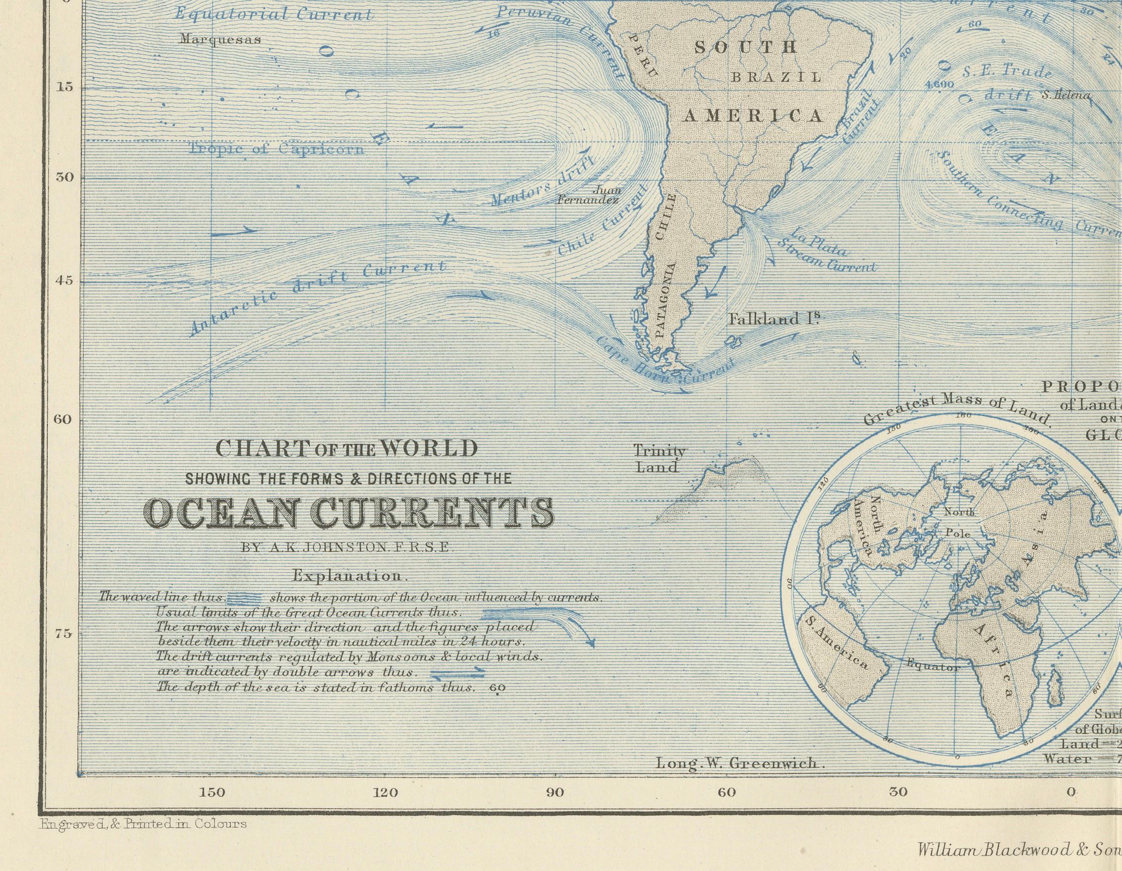
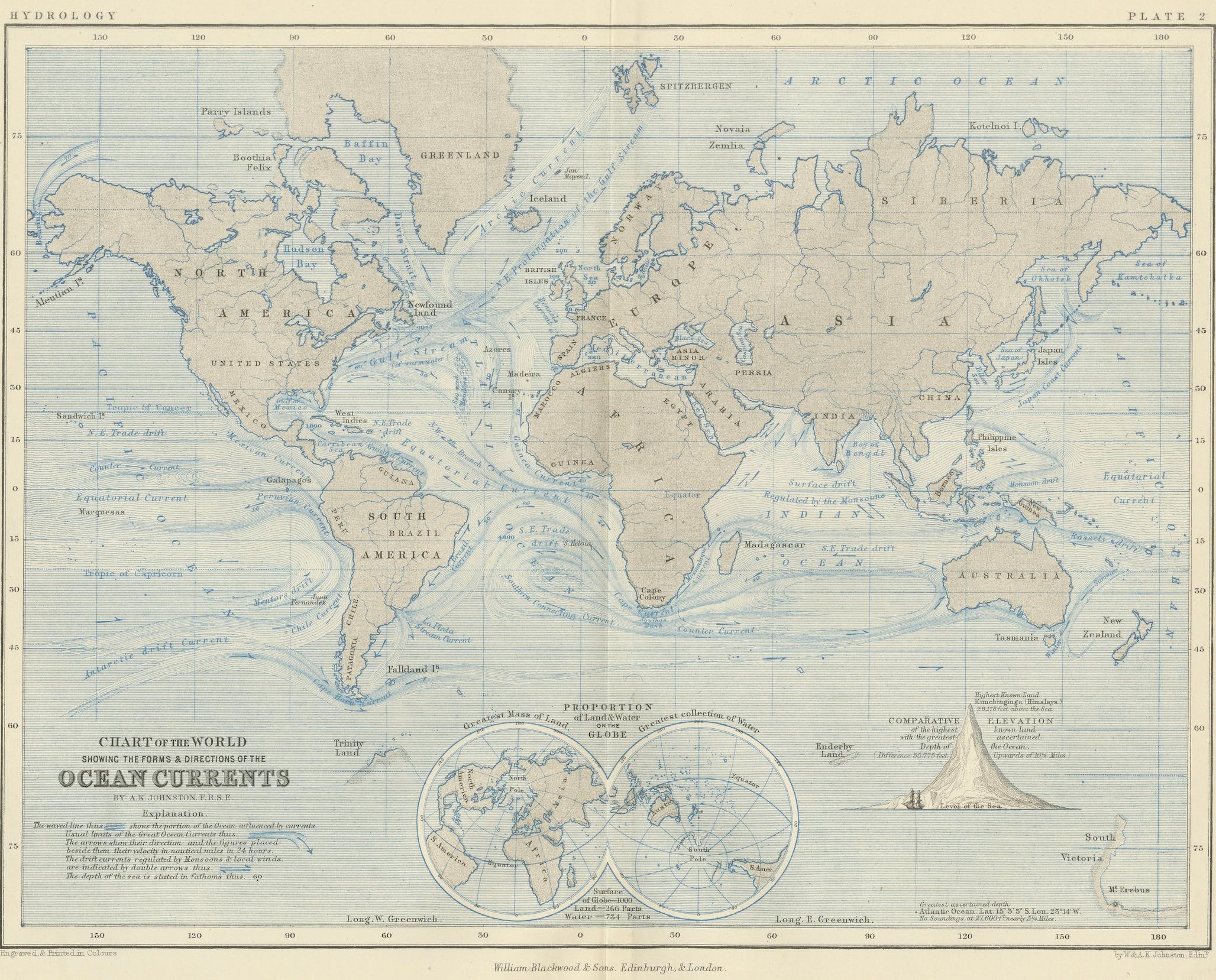
This detailed and scientifically rich chart titled 'Chart of the World Showing the Form & Direction of the Ocean Currents' was created by the Scottish cartographer Alexander Keith Johnston and published in 1852 by William Blackwood & Sons of Edinburgh and London. Issued as Plate 2 in a series on hydrology, it appeared in Johnston’s influential educational work *The Physical Atlas*.
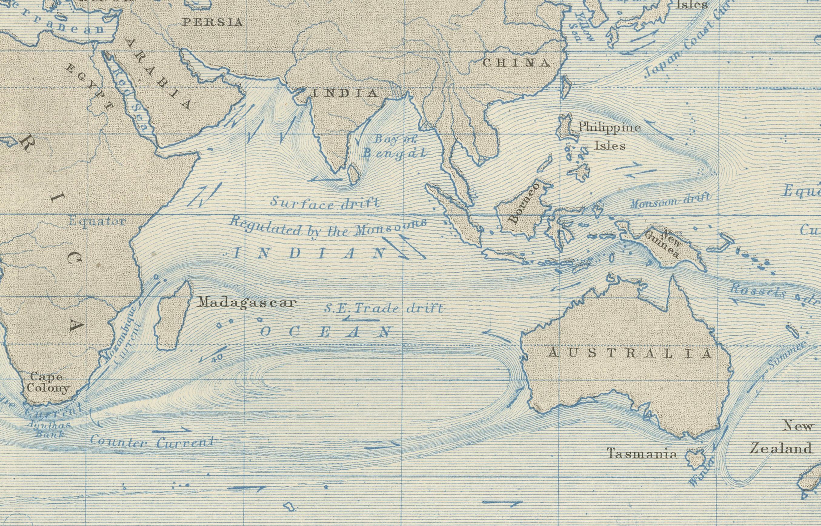
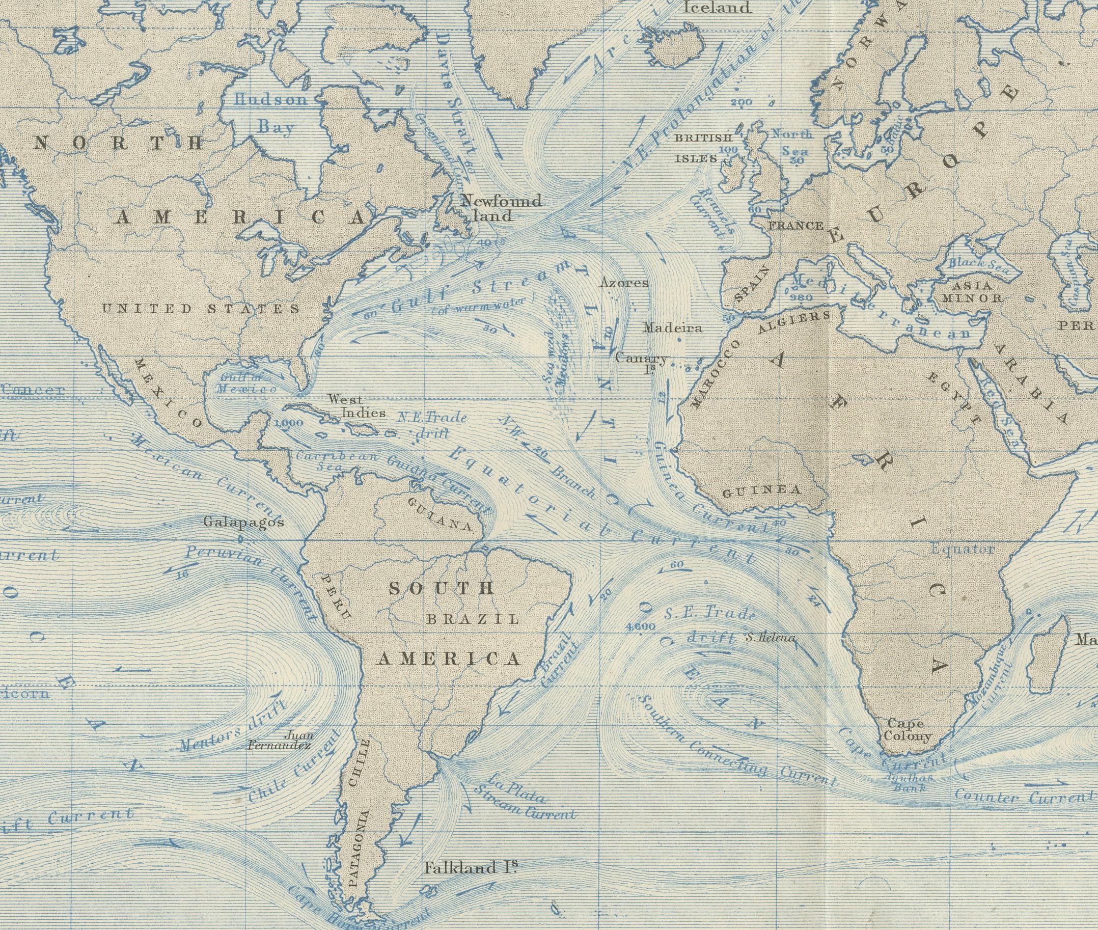
The map illustrates the world’s ocean currents with remarkable clarity, using finely engraved directional arrows and shading to indicate both warm and cold currents across the globe’s seas. The Equatorial Current, Gulf Stream, Brazil Current, Kuroshio, and Antarctic Circumpolar Current are all clearly labeled and presented in relation to the major continents and climatic zones. The precise depiction of ocean flow patterns reveals the 19th-century understanding of global oceanography and its connection to trade, navigation, and climatology.
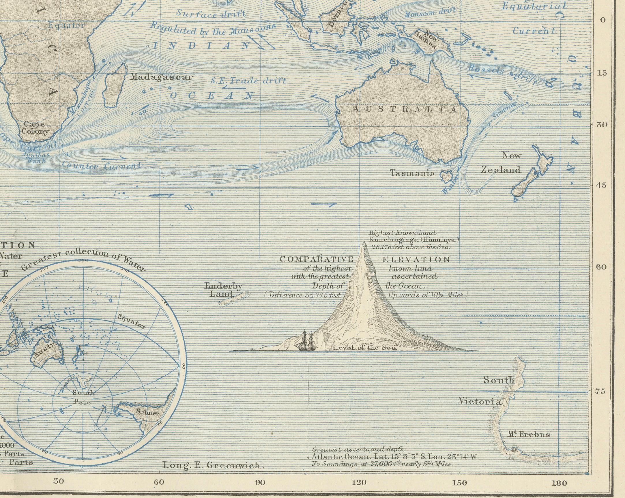
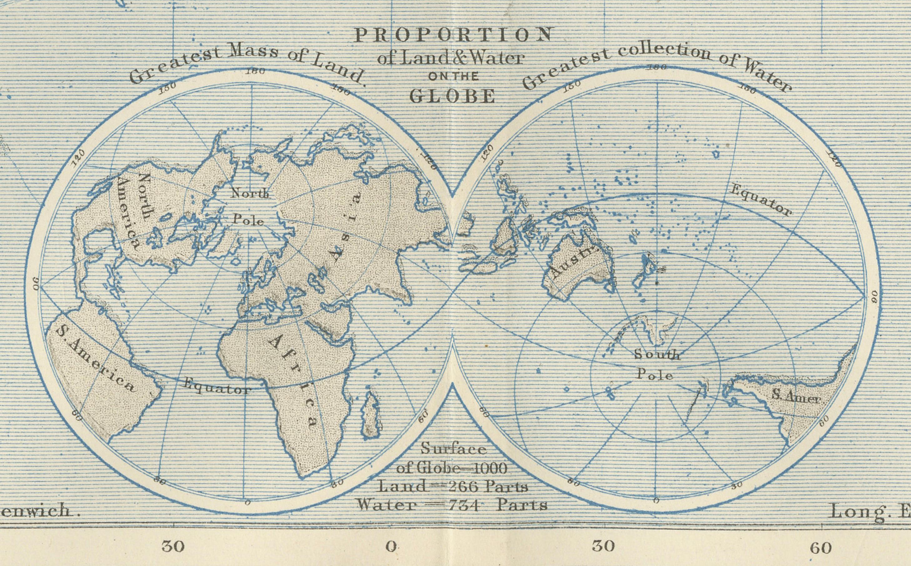
This map is not just a geographic representation, but a visual explanation of hydrological science. Two insets enhance the plate’s instructional value: one shows the “Proportion of Land & Water on the Globe,” and the other compares the relative elevation of mountain chains and ocean depths, including the Mariana Trench and Mount Everest. These contextual diagrams reflect the Enlightenment ideal of synthesizing visual data with scientific observation for public education.
Johnston (1804–1871) was known for merging scientific accuracy with elegant presentation. As “Geographer in Ordinary to Her Majesty for Scotland,” his maps were widely used in schools and universities. His Physical Atlas is considered one of the first thematic atlases, combining cartography with natural sciences.
This print is a compelling artifact of early scientific cartography, ideal for collectors of antique maps, maritime history, or 19th-century educational materials.
Condition and framing tips: Excellent condition with minor age toning and clean margins. Frame in dark wood or matte black with a pale blue or neutral-toned mat to complement the soft blue engraving and highlight the fine scientific detailing.