Earthquakes and Volcanoes Map by A.K. Johnston – Seismic Activity Atlas 1852
€ 260
One of a kind: this is the sheet in the photographs. Ships from Langweer, the Netherlands.
Date
1852
Sheet size
34.5 × 27.4 cm (13.6 × 10.8 in)
Condition
Good
Reference
BG-13207-11
Condition
Very good condition. Light overall toning near the margins. The paper remains strong and well-preserved. Folding line as issued.
About this sheet
Earthquakes and Volcanoes Map by A.K. Johnston – Seismic Activity Atlas 1852
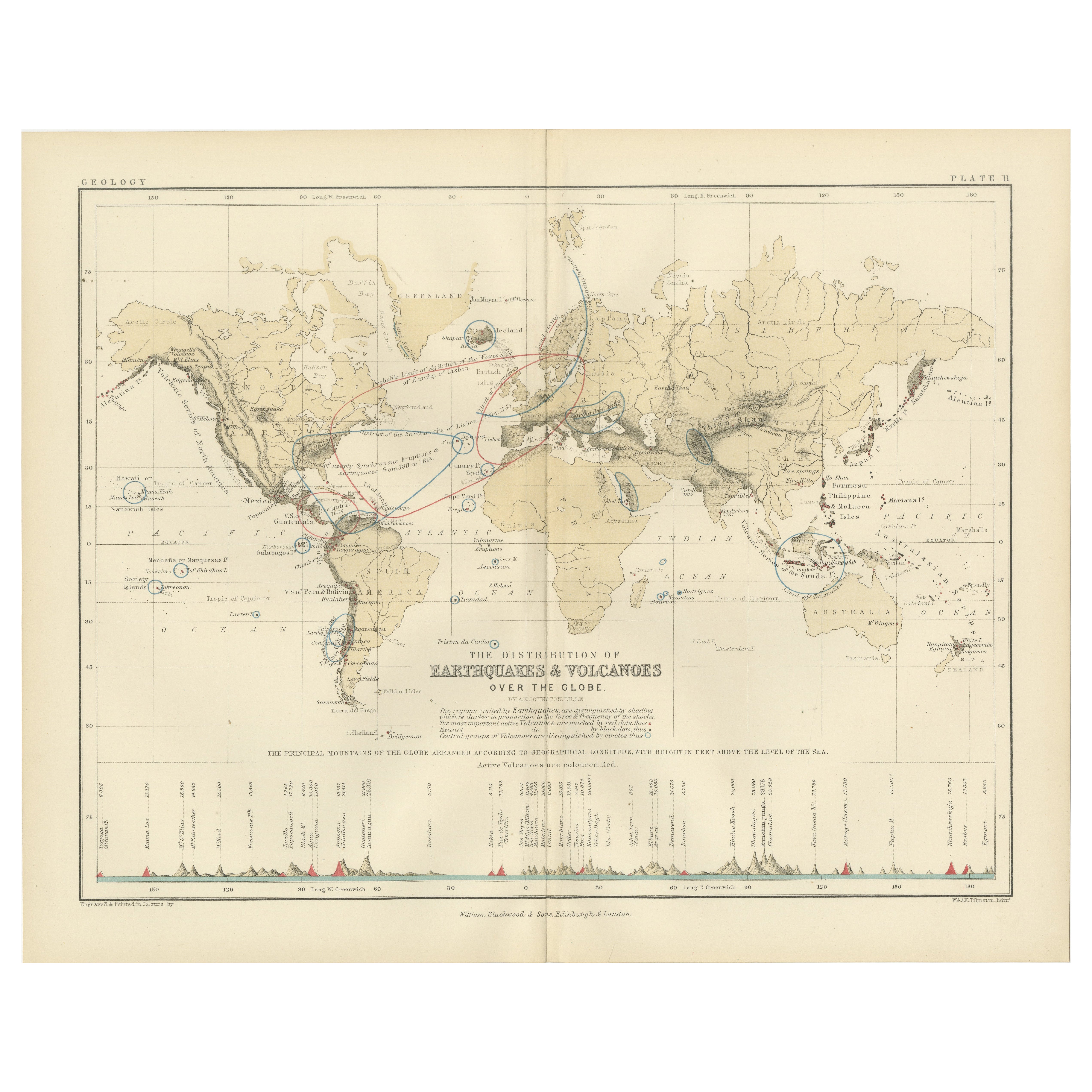
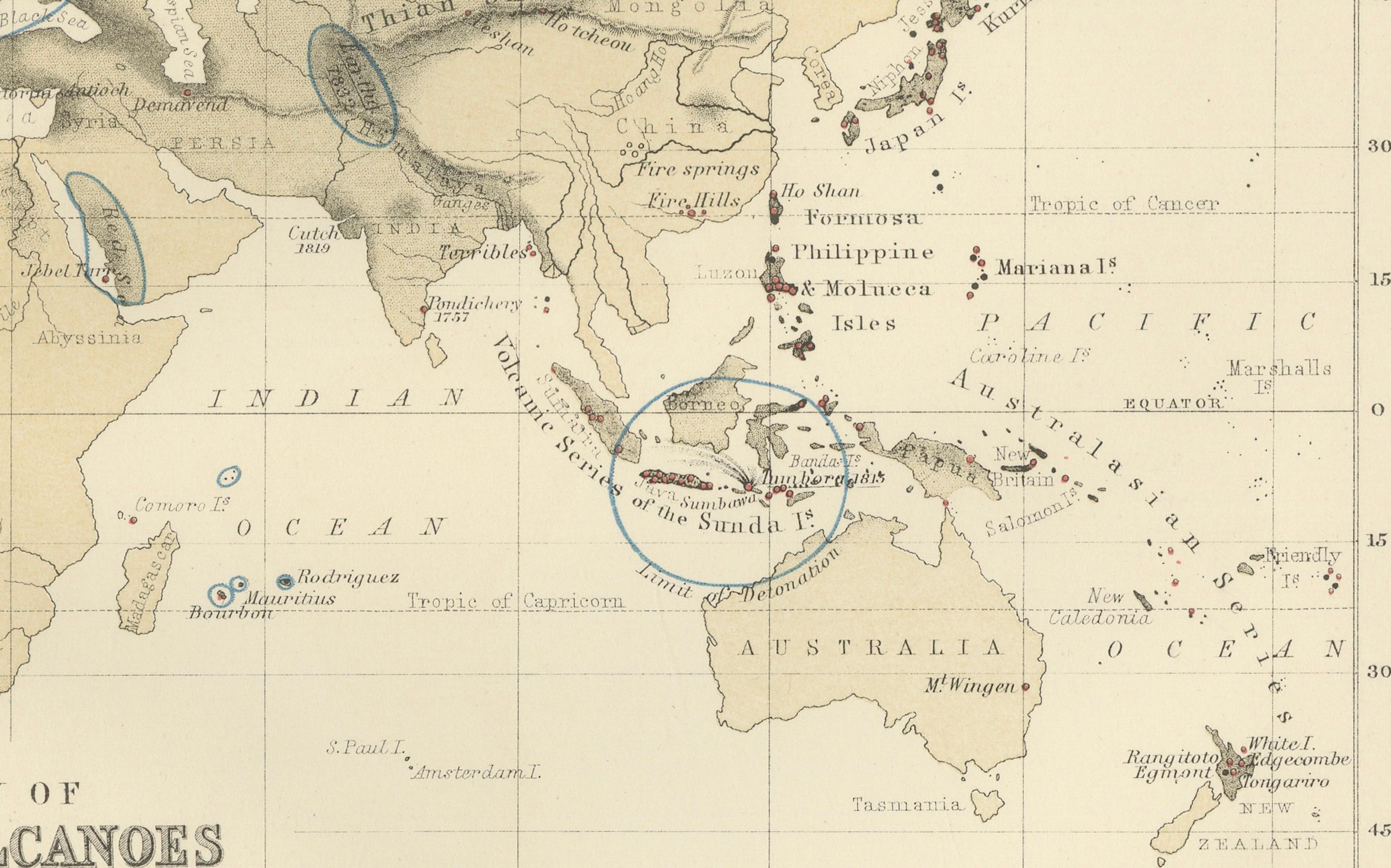
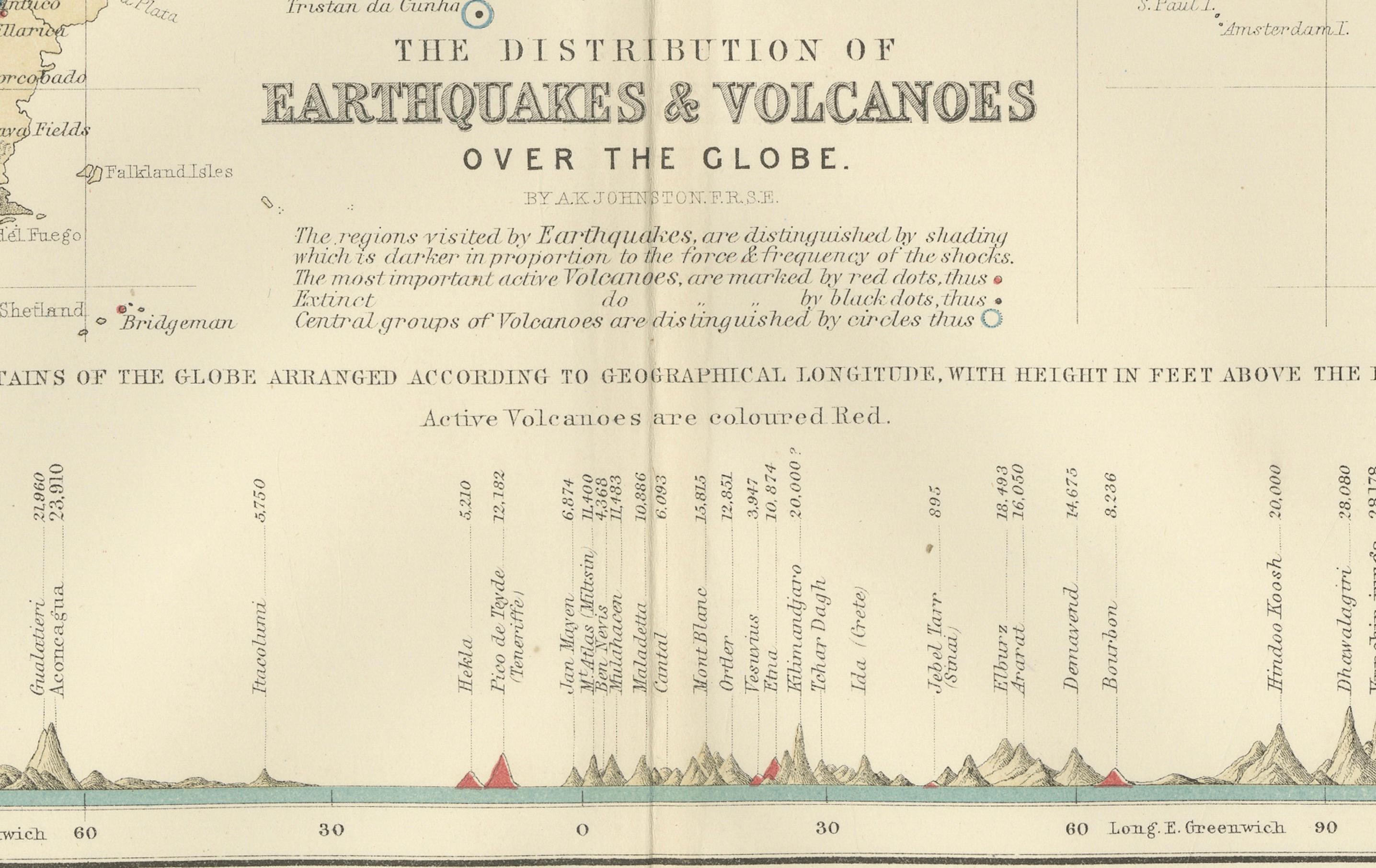
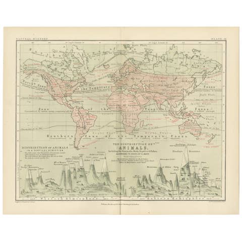
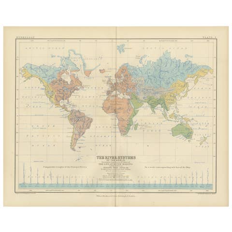
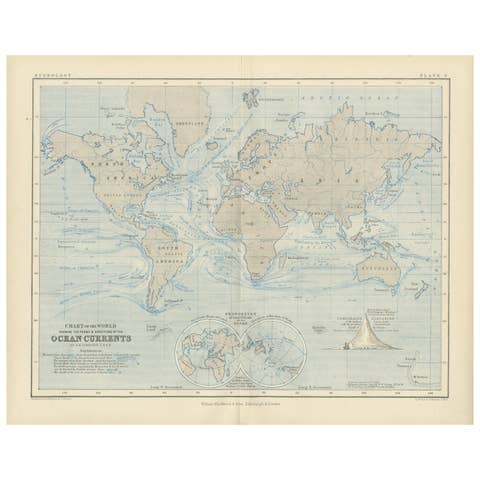
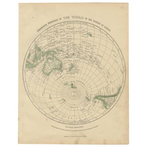
This extraordinary 1852 scientific map titled "The Distribution of Earthquakes & Volcanoes Over the Globe" was created by the renowned Scottish cartographer Alexander Keith Johnston and published by William Blackwood & Sons of Edinburgh and London. Issued as Plate 11 in the acclaimed *Physical Atlas of Natural Phenomena*, this plate visually captures one of the earliest attempts to chart the global geography of seismic and volcanic activity with scientific precision.
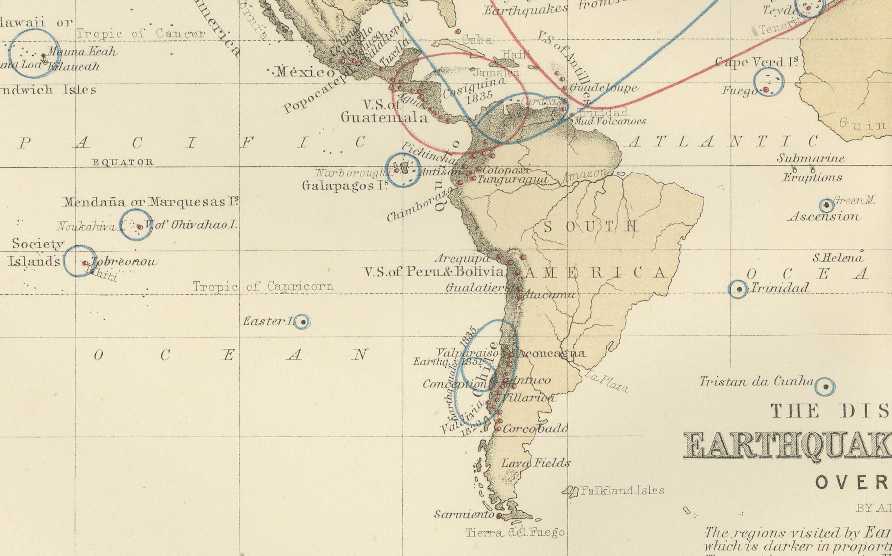
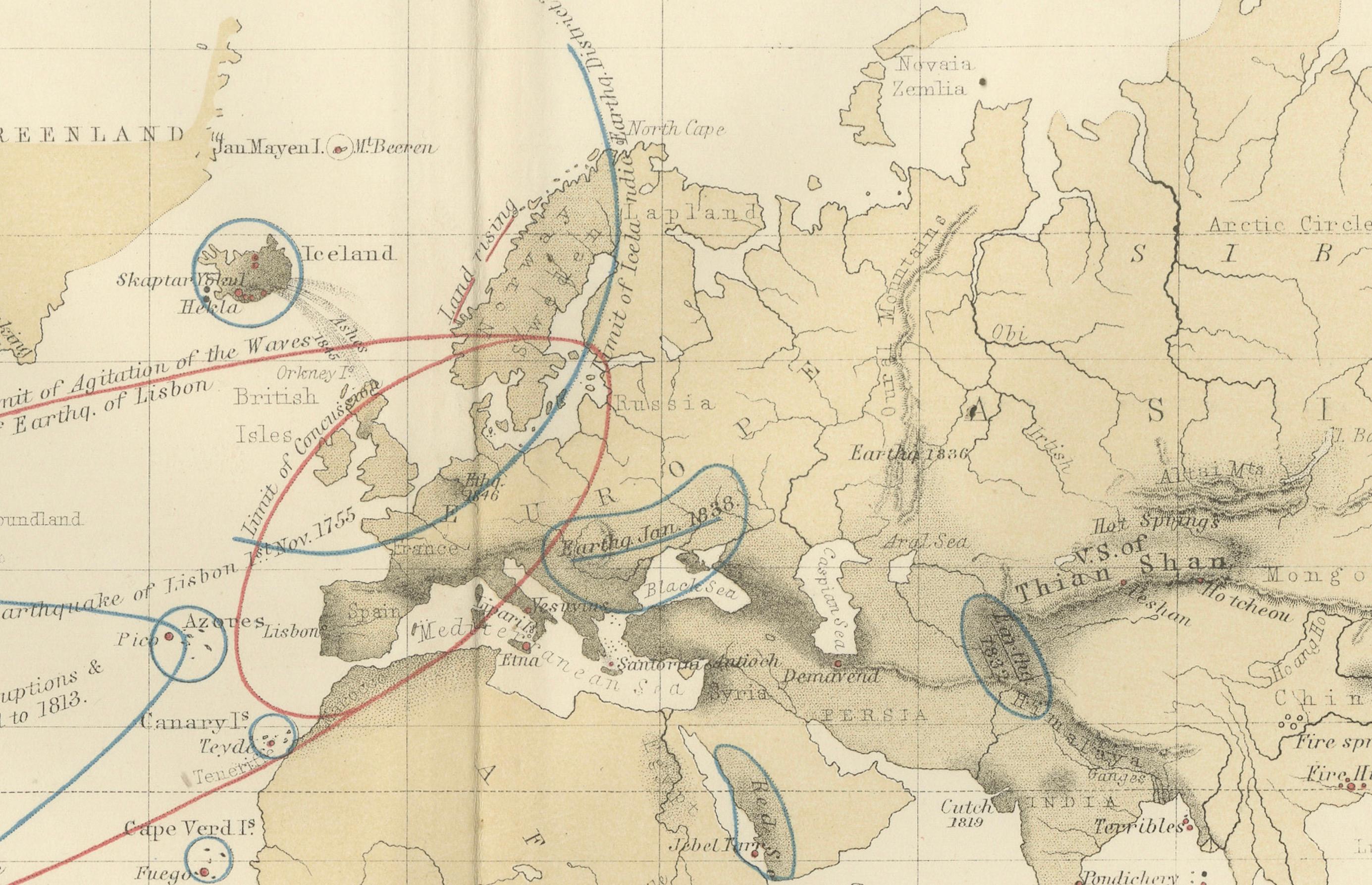
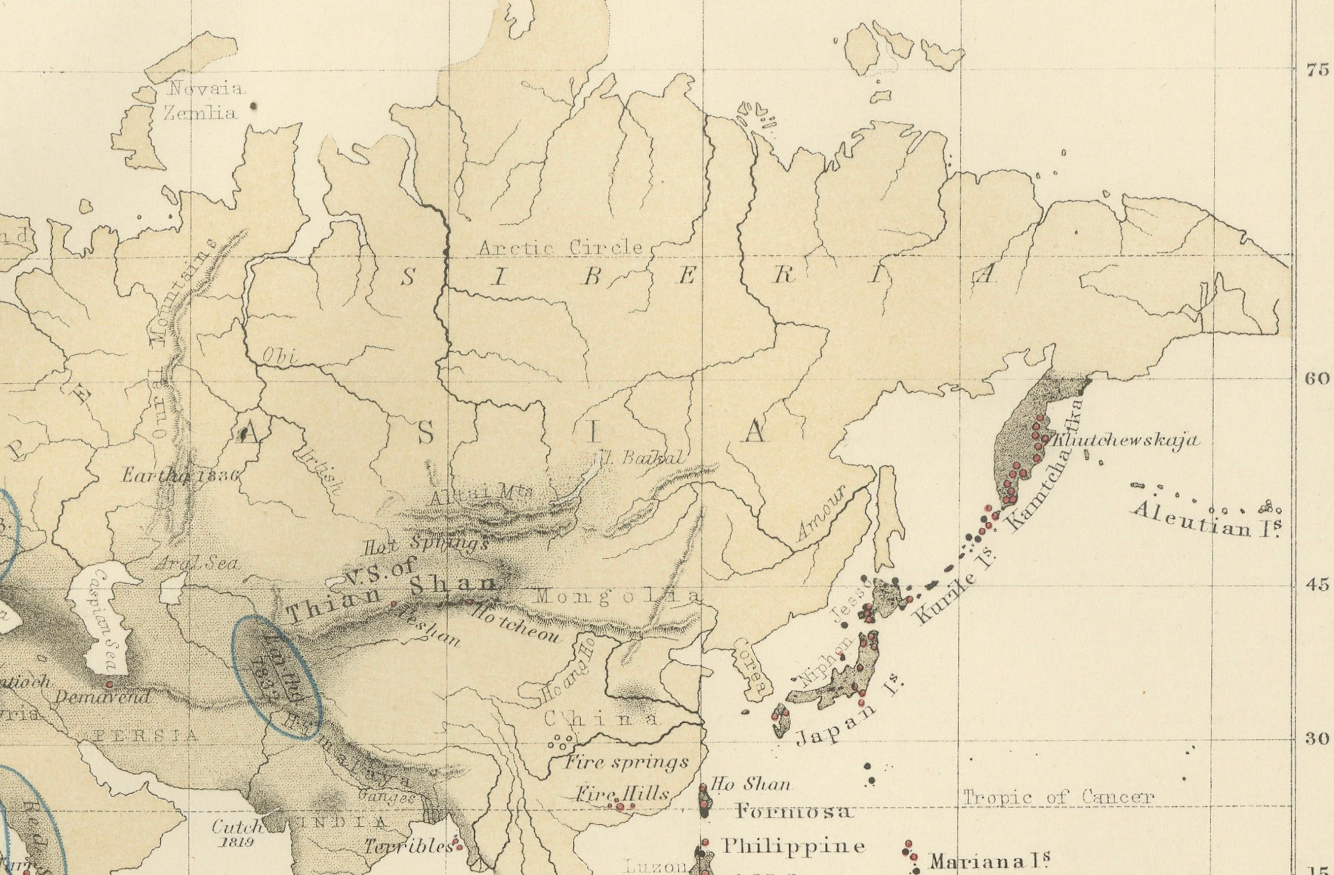
The map uses a variety of symbols and visual codes to identify known volcanic chains, active volcanoes (highlighted in red), and historically significant earthquake zones. It offers a comprehensive overview of the Pacific Ring of Fire, the volcanic arcs of the East Indies, Mediterranean seismic belts, and tectonically active zones in the Americas, Asia, and the South Pacific. Descriptive labels cite historic eruptions and earthquake events, making the map both an analytical tool and a chronicle of geophysical history.
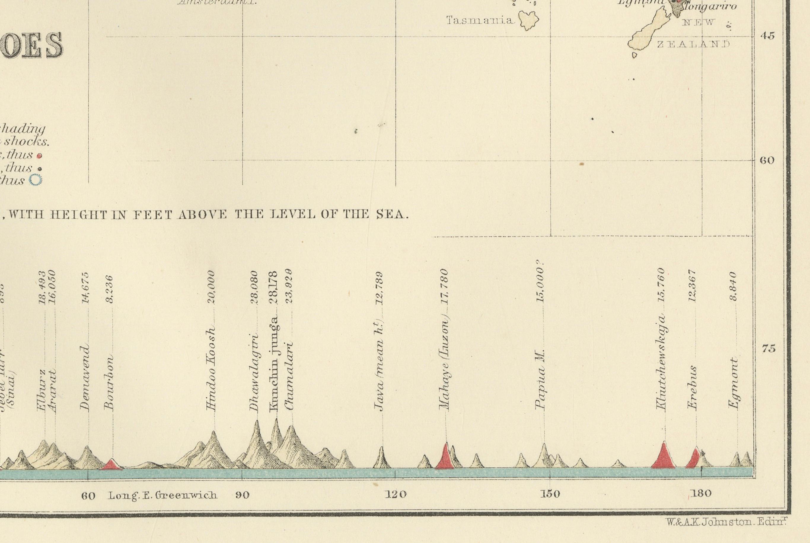
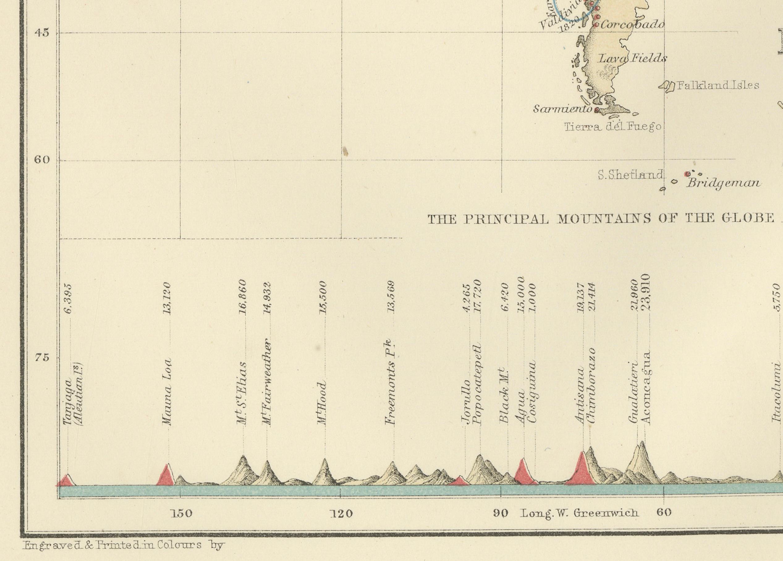
In addition to the global map, a striking comparative diagram runs along the bottom of the sheet, showing the principal mountains of the world arranged by height and geographical longitude. Volcanoes are rendered in profile and color-coded, with active volcanoes such as Etna, Vesuvius, Cotopaxi, and Mauna Loa clearly marked. This lower section acts as a visual cross-reference between elevation and geophysical phenomena.
Johnston’s groundbreaking approach to thematic mapping helped popularize the visualization of scientific knowledge. As Geographer in Ordinary to Queen Victoria in Scotland, he was among the first to merge statistical information and natural sciences into a visual medium accessible to scholars, educators, and the general public.
This map remains a valuable historical artifact in the evolution of geology and seismology. Its unique combination of technical data and beautiful engraving make it ideal for collectors of early scientific illustrations, antique atlases, or educational wall art.
Condition and framing tips: Very good antique condition with a clean image field and light marginal toning. Original centerfold present. Frame in black or natural wood with a soft ivory or parchment-toned mat to emphasize the refined linework and muted color scheme. Well suited to a study, library, or educational space.