About this sheet
River Systems Map of the World by A.K. Johnston – Educational Print 1852
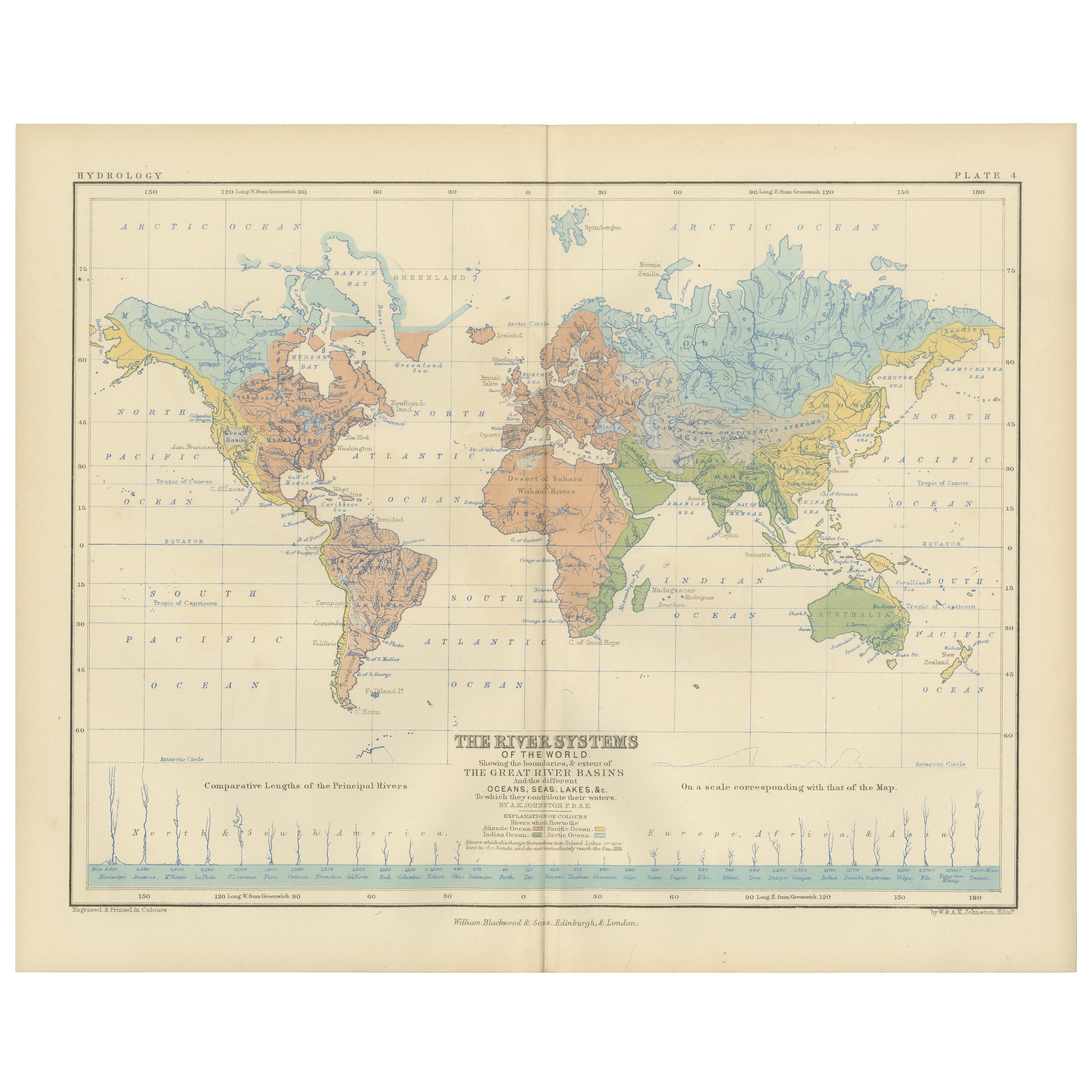
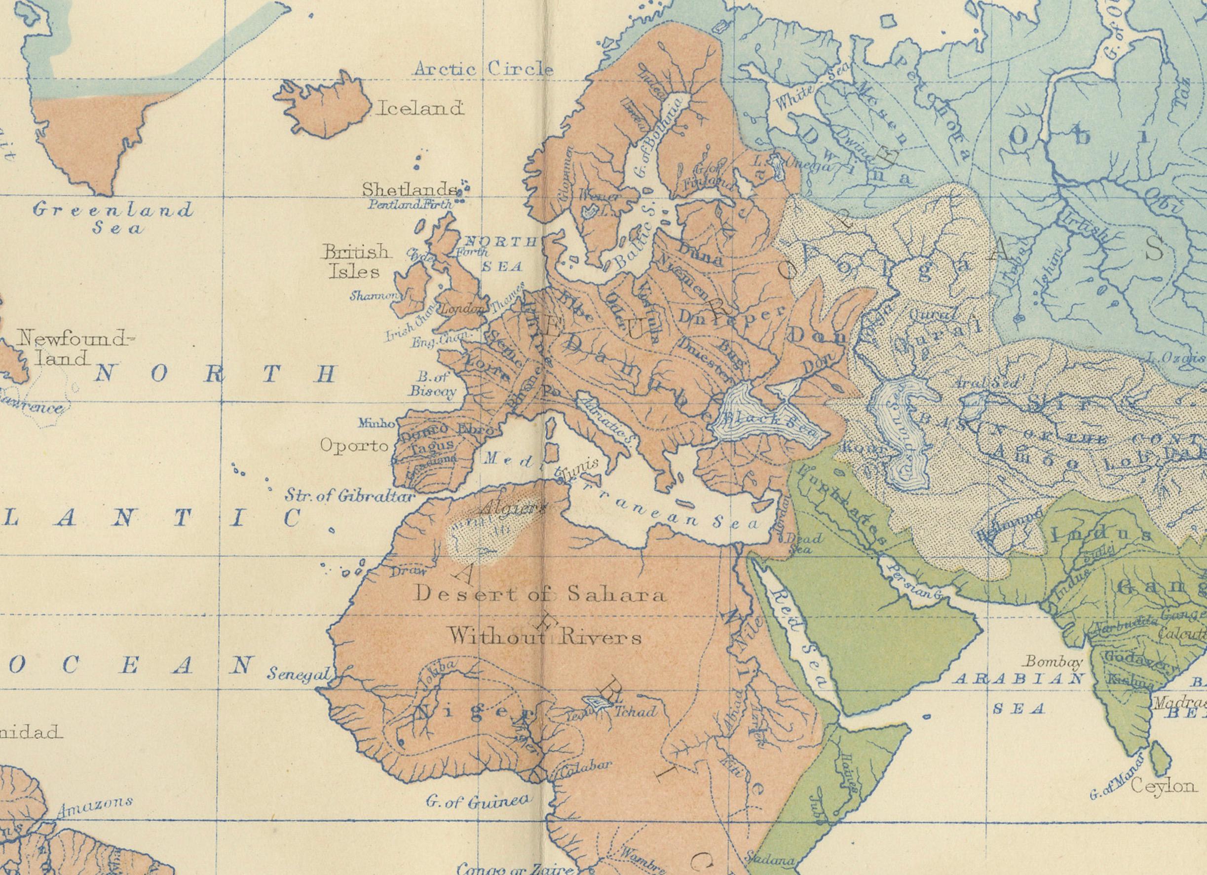
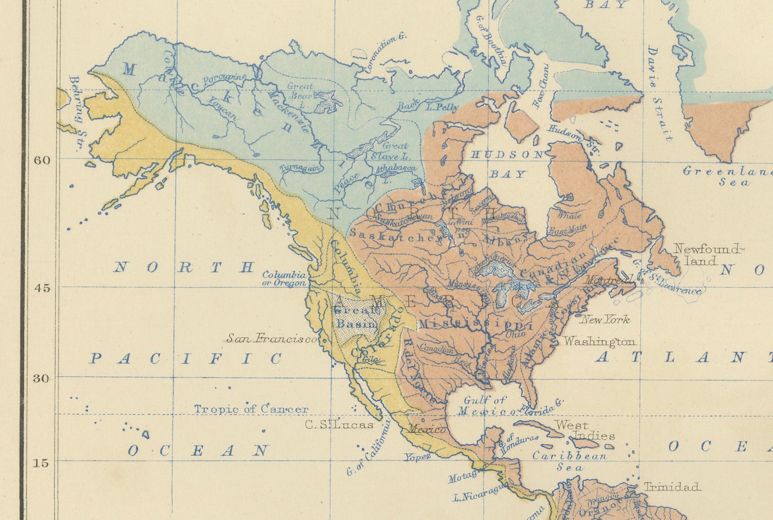
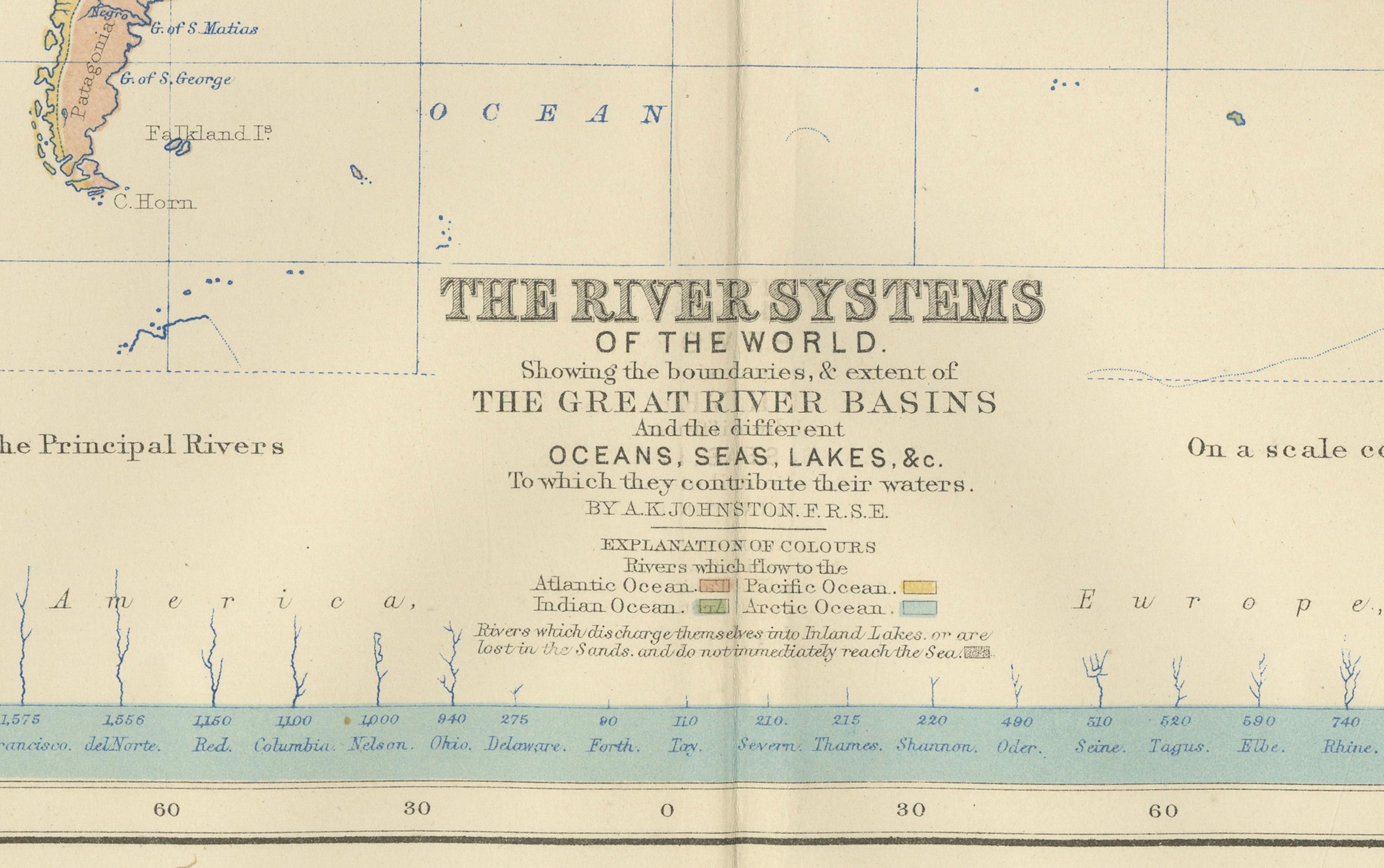
This striking 1852 map titled "The River Systems of the World" was created by the noted Scottish geographer Alexander Keith Johnston and published by William Blackwood & Sons in Edinburgh and London. It is Plate 4 from Johnston’s groundbreaking work *The Physical Atlas of Natural Phenomena*, a pioneering example of thematic cartography that visually communicates scientific data on a global scale.
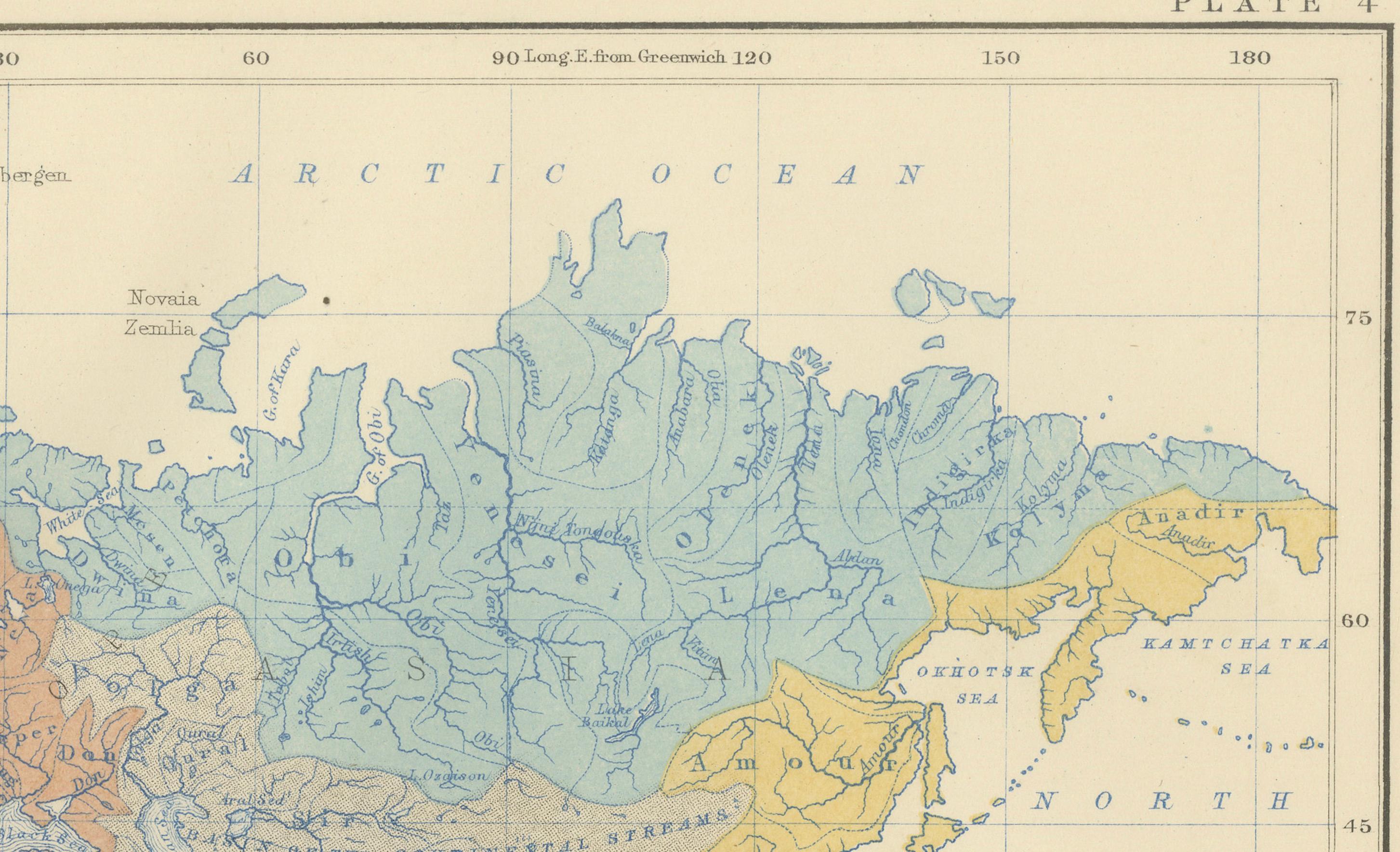
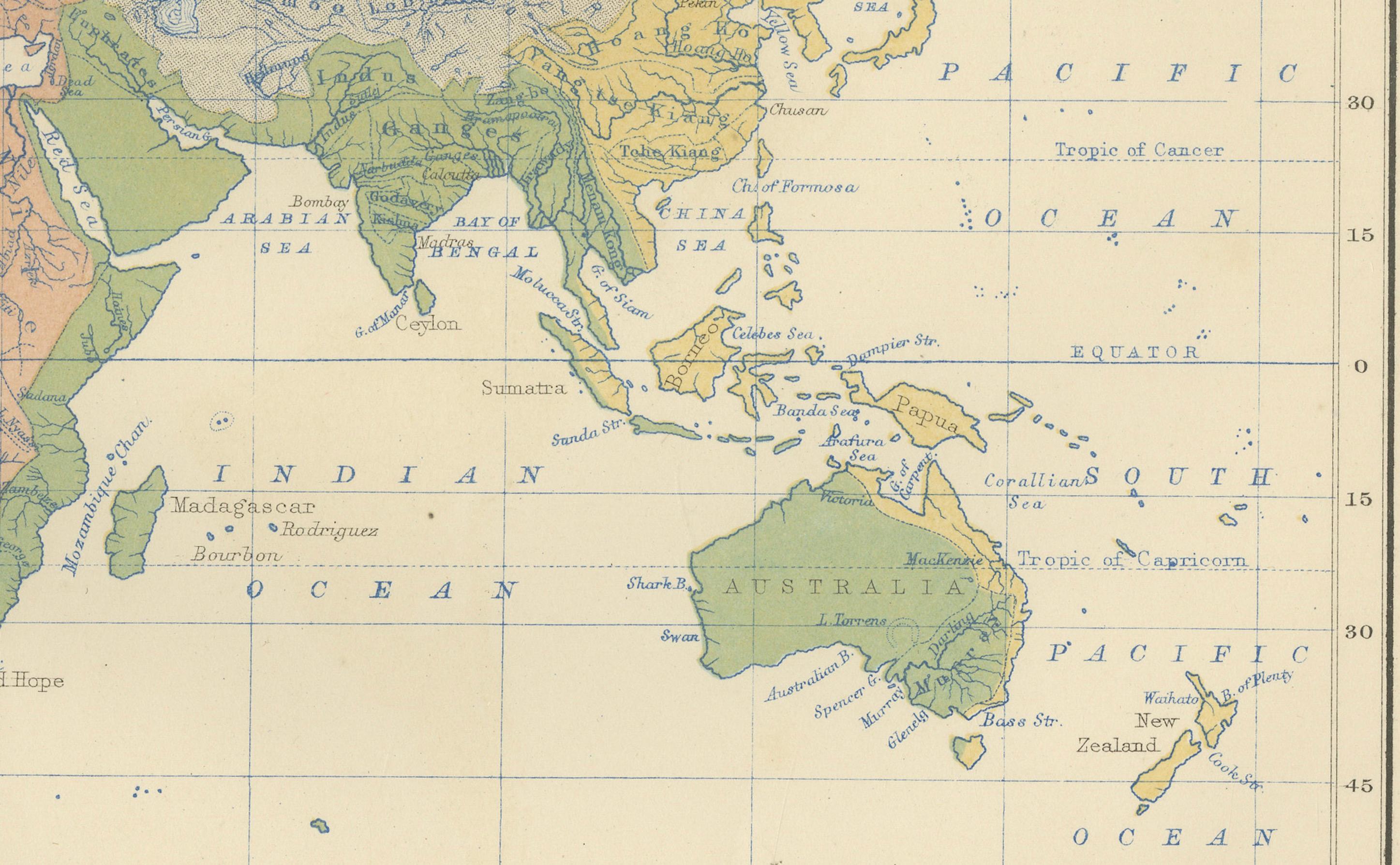
This hand-colored copperplate engraving displays the world’s major river basins, categorized by color to represent the direction of river drainage toward different oceans and inland basins. Each continental landmass is divided by watershed, visually illustrating how rivers flow to the Atlantic, Pacific, Indian, Arctic Oceans, or into interior lakes and deserts. For instance, blue shows drainage toward the Arctic Ocean, brown for the Atlantic, green for the Indian Ocean, and so forth. The result is a vividly segmented and scientifically meaningful depiction of Earth's hydrological patterns.
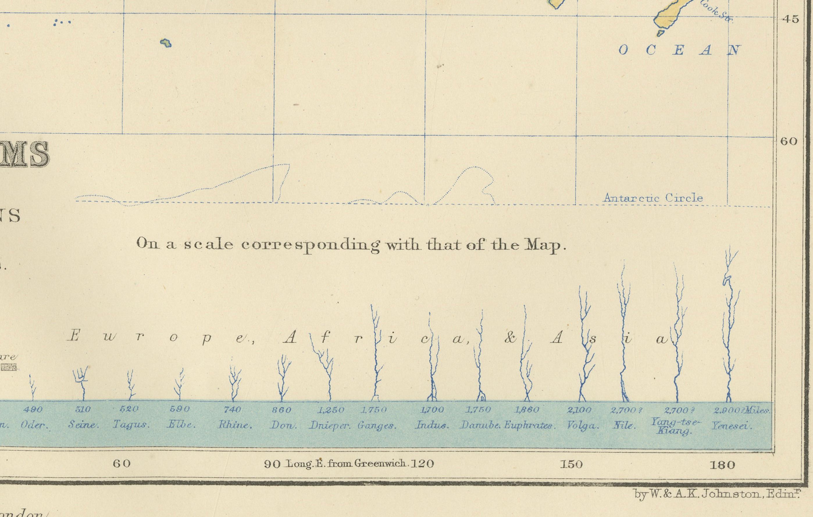
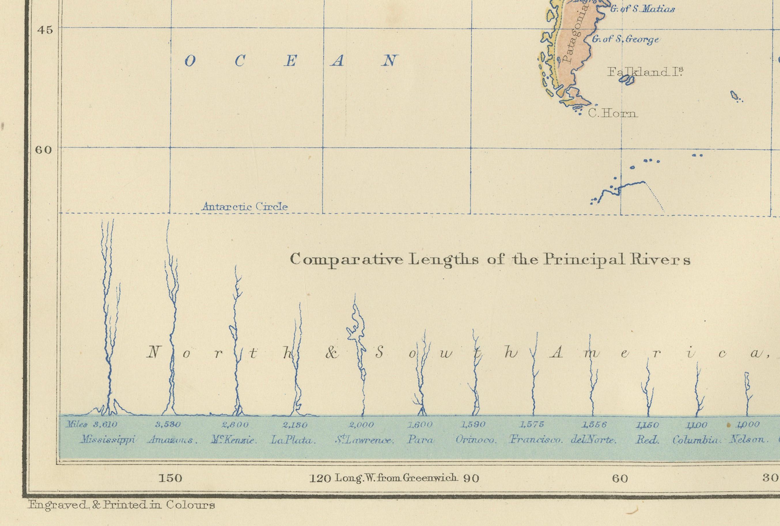
A fascinating feature of the print is the comparative diagram running along the bottom, showing the relative lengths of the world’s principal rivers such as the Amazon, Nile, Mississippi, Yangtze, and Volga. This allows the viewer to grasp the scale and hierarchy of global river systems at a glance.
Johnston, who served as Geographer in Ordinary to Queen Victoria in Scotland, was renowned for his clarity, precision, and ability to synthesize scientific knowledge into accessible graphic forms. His *Physical Atlas* was one of the first atlases to present natural phenomena using maps rather than text alone, making it a cornerstone of modern data visualization.
This particular map is of special interest to collectors, educators, and designers for its combination of scientific accuracy and striking color composition. It appeals to those interested in geography, environmental science, and historical education, while also offering decorative appeal through its classic layout and 19th-century color palette.
Condition and framing tips:
Very good antique condition with some mild toning and occasional foxing in the margins. The printed area is clean and well-preserved. For framing, a walnut or black frame with a warm cream or ivory mat will bring out the map’s subtle hand-coloring. Pale blue or light earth-toned mats also work well to echo the map’s thematic hues. Ideal for display in a study, library, or educational setting.