
Maps & PrintsBartele Gallery · Langweer
Home / Antique Maps / Europe / Western Europe / The Netherlands & Belgium / Town Plans of Holland

Town Plans of Holland · 16th century

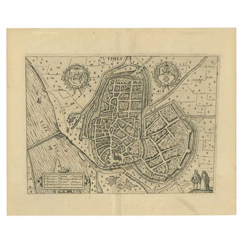
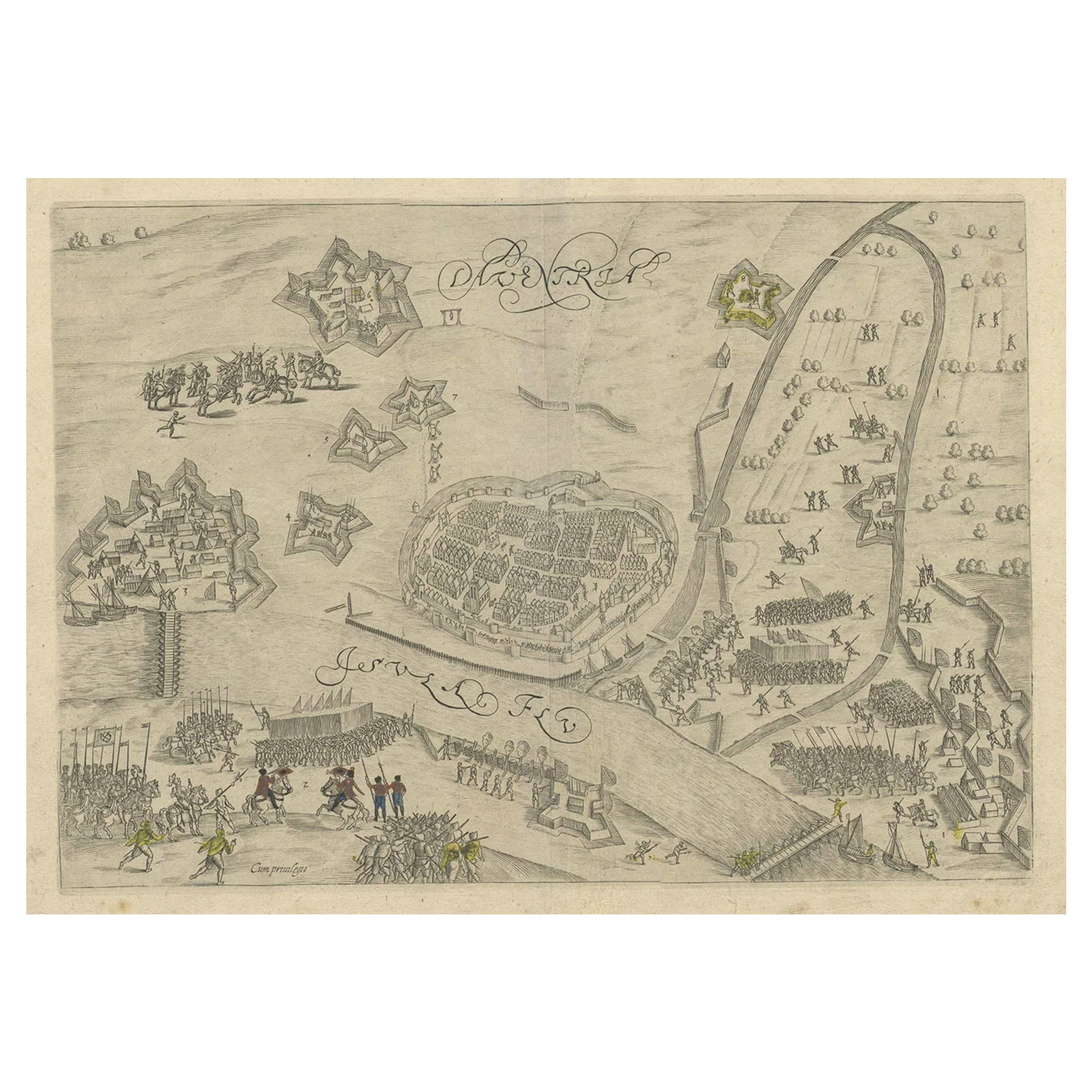
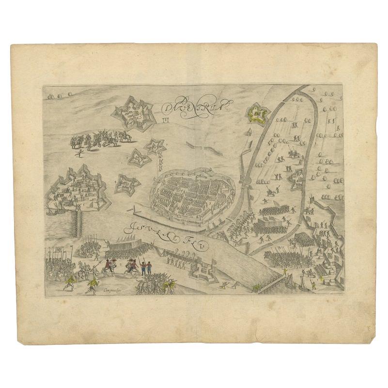
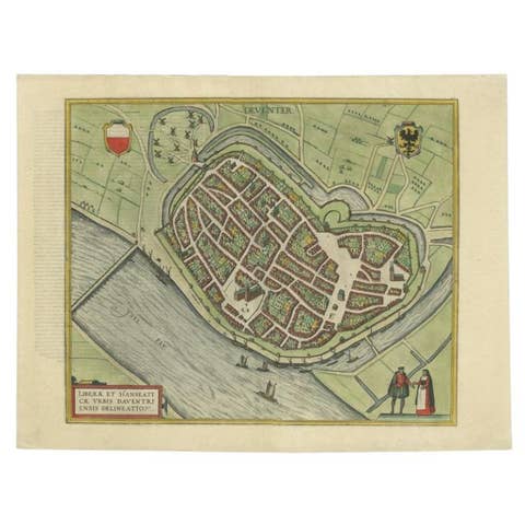
Antique Map of the 1591 Siege and Occupation of Deventer City, Holland, c1610

€ 380

One of a kind: this is the sheet in the photographs. Ships from Langweer, the Netherlands.

Date
1591
Sheet size
31 × 37.5 cm (12.2 × 14.8 in)
Condition
Good
Reference
BG-00383

Condition

general age-related toning. Some soiling, please study image carefully.
About this sheet

Antique map titled 'Daventria'. Old map of the city of Deventer, the Netherlands. The print illustrates the siege and occupation of Deventer by the State army under command of prince Maurits on 10 June 1591. It shows the city of Deventer and the surrounding land with walls and ramparts. With two pontoon bridges over the IJssel river. This map originates from 'Den Nassauschen Lauren-Crans: Beschrijvinghe ende af-beeldinge van alle de victorien' by Jan Jansz. Orlers en Hendrik van Haestens.

Artists and Engravers: Jan Janszoon Orlers (1570 - 1646), Dutch historian.

Condition: Good, general age-related toning. Some soiling, please study image carefully.
Date: 1610
Overall size: 37.5 x 31 cm.
Image size: 31 x 22 cm.

More from Town Plans of Holland

Ask about this sheet

Antique Map of the 1591 Siege and Occupation of Deventer City, Holland, c1610
1591 · Ref. BG-00383 · € 380
We reply by email, usually within one working day.