
Maps & PrintsBartele Gallery · Langweer
Home / Antique Maps / Asia / West Asia & the Holy Land

West Asia & the Holy Land · 19th century

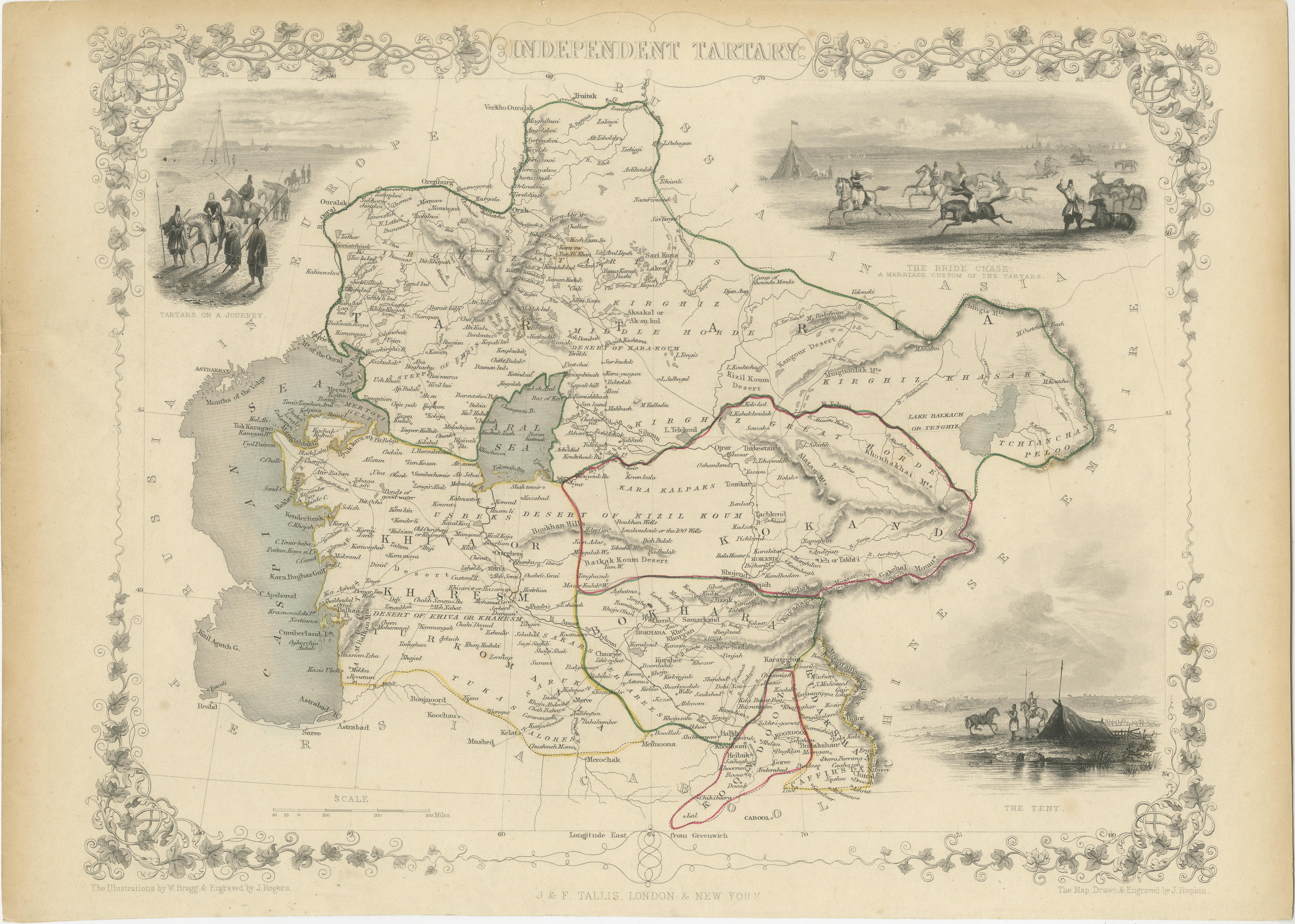
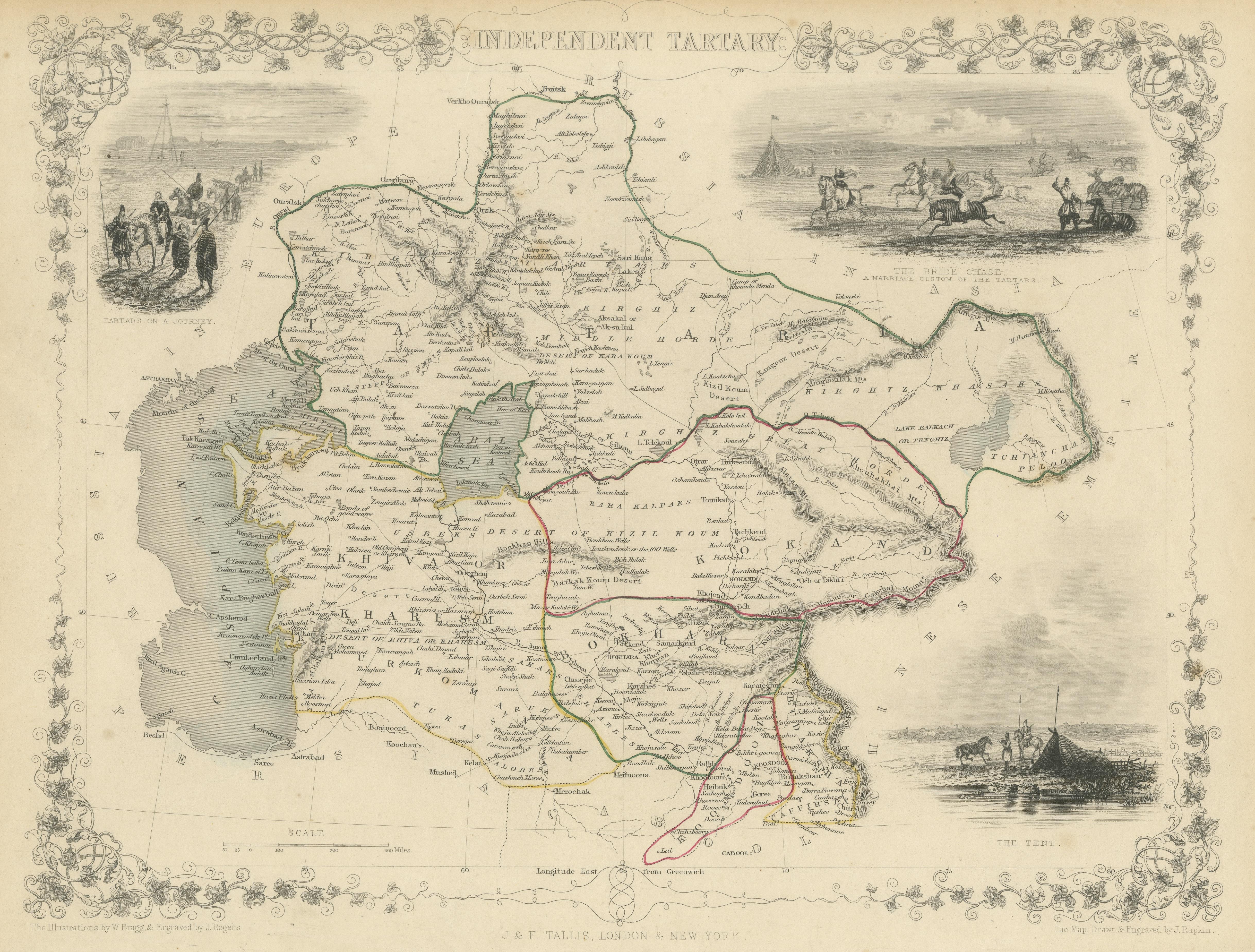
Antique Map of Central Asia between the Caspian Sea and Lake Balkhash, 1851

€ 580

One of a kind: this is the sheet in the photographs. Ships from Langweer, the Netherlands.

Date
1851
Sheet size
26.8 × 37.4 cm (10.6 × 14.7 in)
Condition
Fair
Reference
BG-13512-3

Condition

Age-related toning. Original outline coloring. Shows some wear and foxing. Few small defects in margins. Blank verso. Please study image carefully.
About this sheet

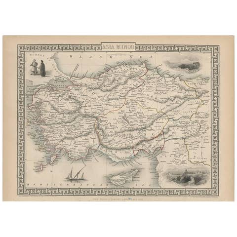
Antique map titled 'Independent Tartary'. Original steel engraved map of Central Asia. It covers the regions between the Caspian Sea and Lake Balkhash and between Russia and Afghanistan. These include the ancient Silk Route kingdoms of Khiva, Tartaria, Kokand, and Bokhara. Today this region roughly includes Kazakhstan, Uzbekistan, Turkmenistan, Kyrgyzstan, and Tajikistan. Three vignettes, including an image of Tartars on a Journey, a horseback Bride Chase, and a tartar campsite. Published circa 1851 by J. & F. Tallis.

More from West Asia & the Holy Land

Ask about this sheet

Antique Map of Central Asia between the Caspian Sea and Lake Balkhash, 1851
1851 · Ref. BG-13512-3 · € 580
We reply by email, usually within one working day.