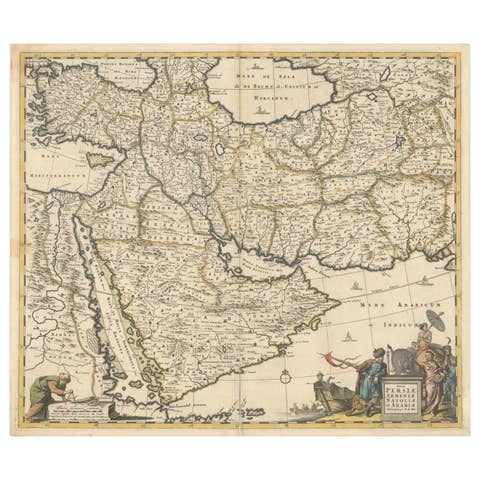
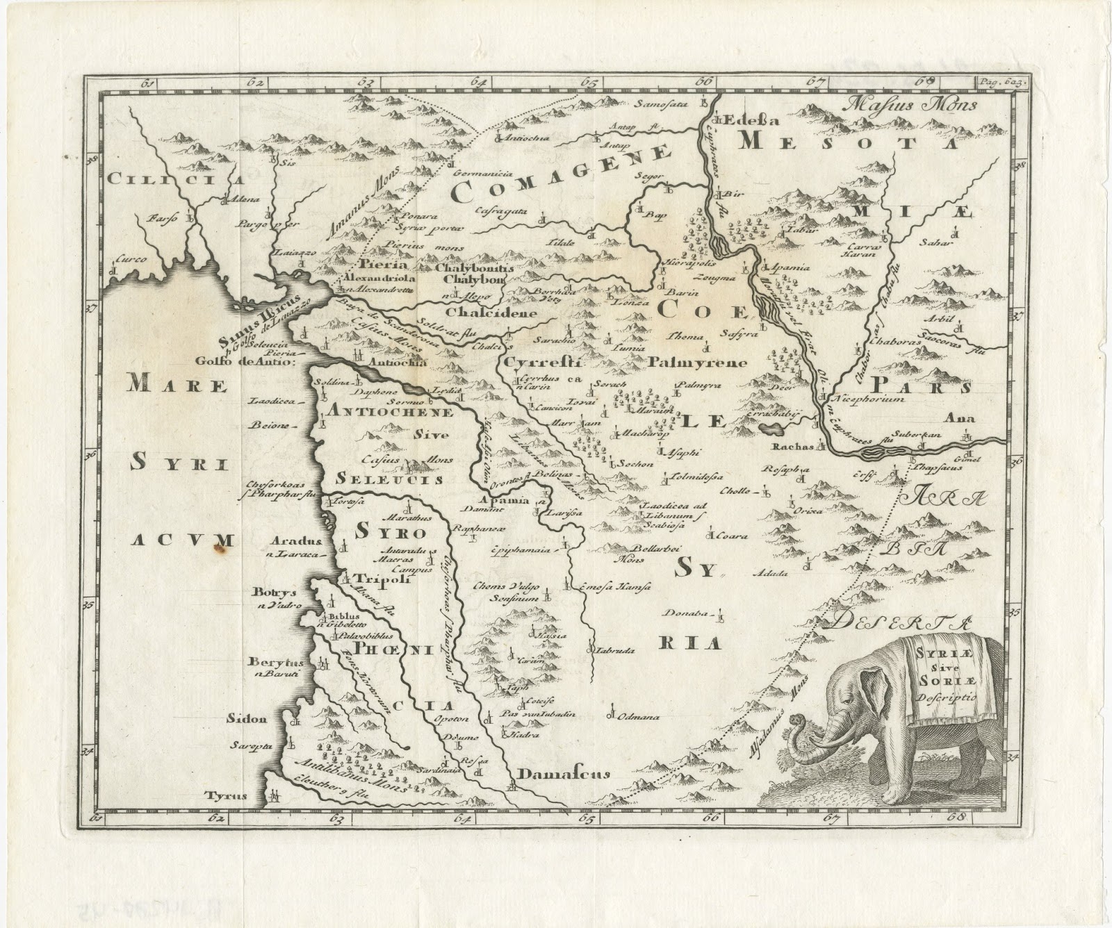
Rare Hand-Colored Antique Map of the Bassora 'Basra' Region in Iraq, 1680
€ 1 150
Original antique · The actual sheet photographed · Certificate of authenticity on request · Sold unframed · Worldwide shipping from € 15 (rates)
Date
1680
Sheet size
32 × 38.5 cm (12.6 × 15.2 in)
Condition
Good
Reference
PCT-61431
Condition
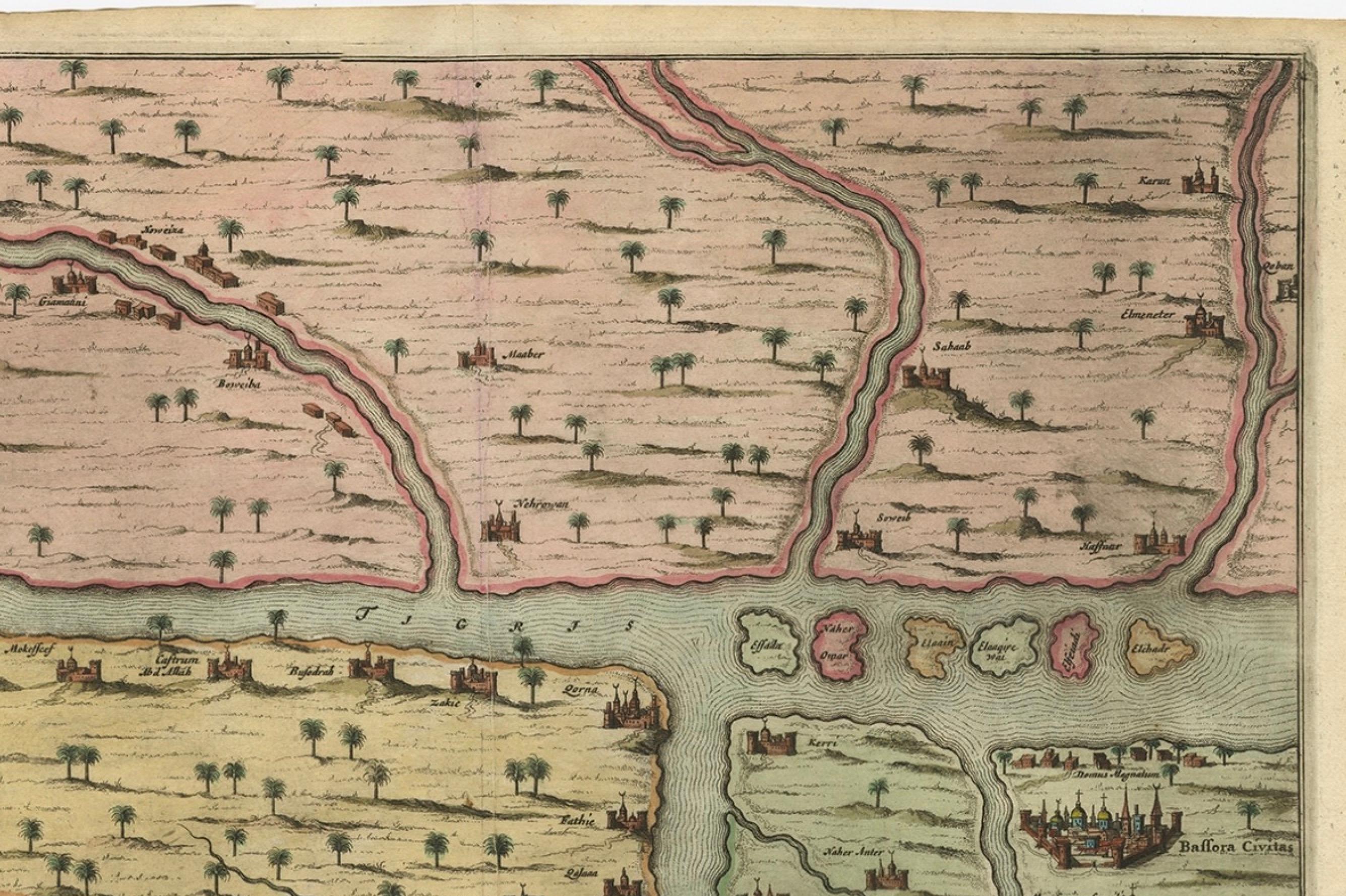
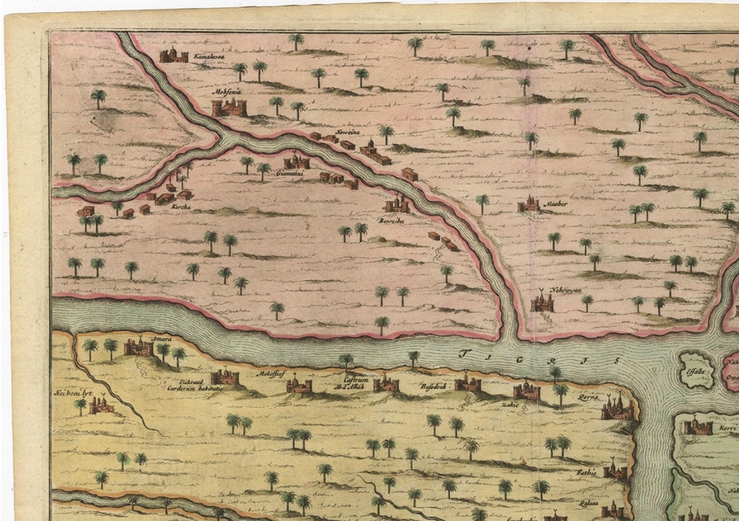
Given age. A few minor crinkles. Original middle fold as issued. General age-related toning and/or occasional minor defects from handling. Please review the images for further condition details.
About this sheet
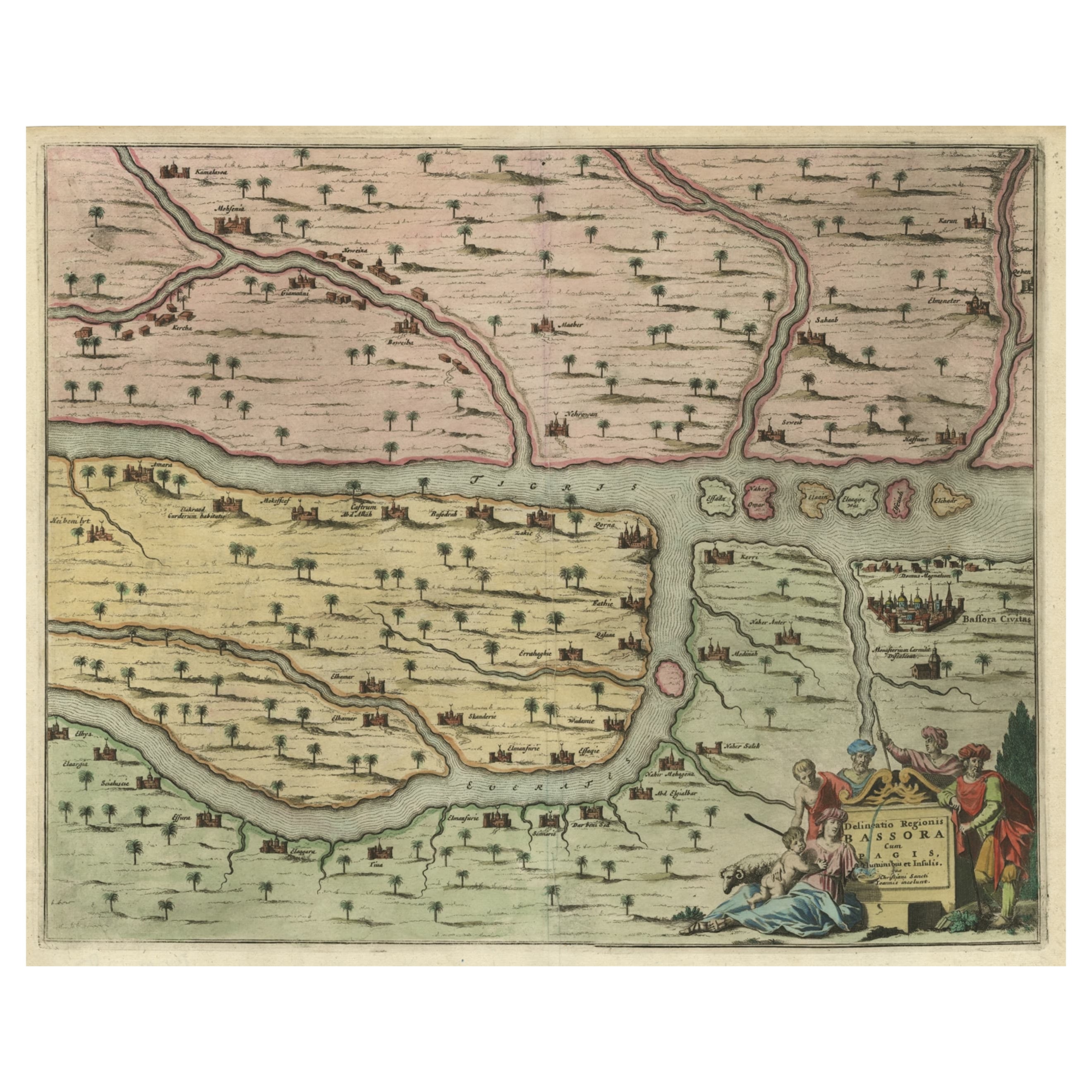
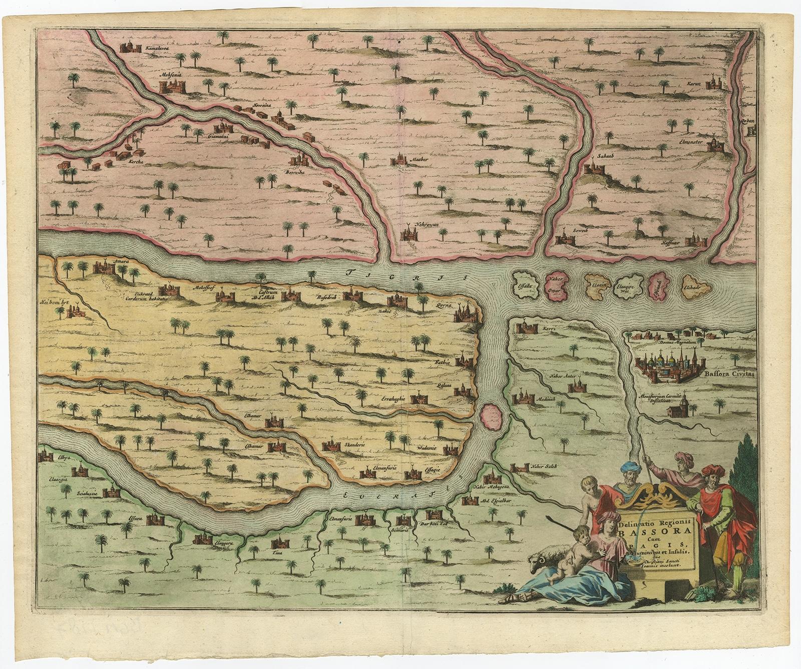
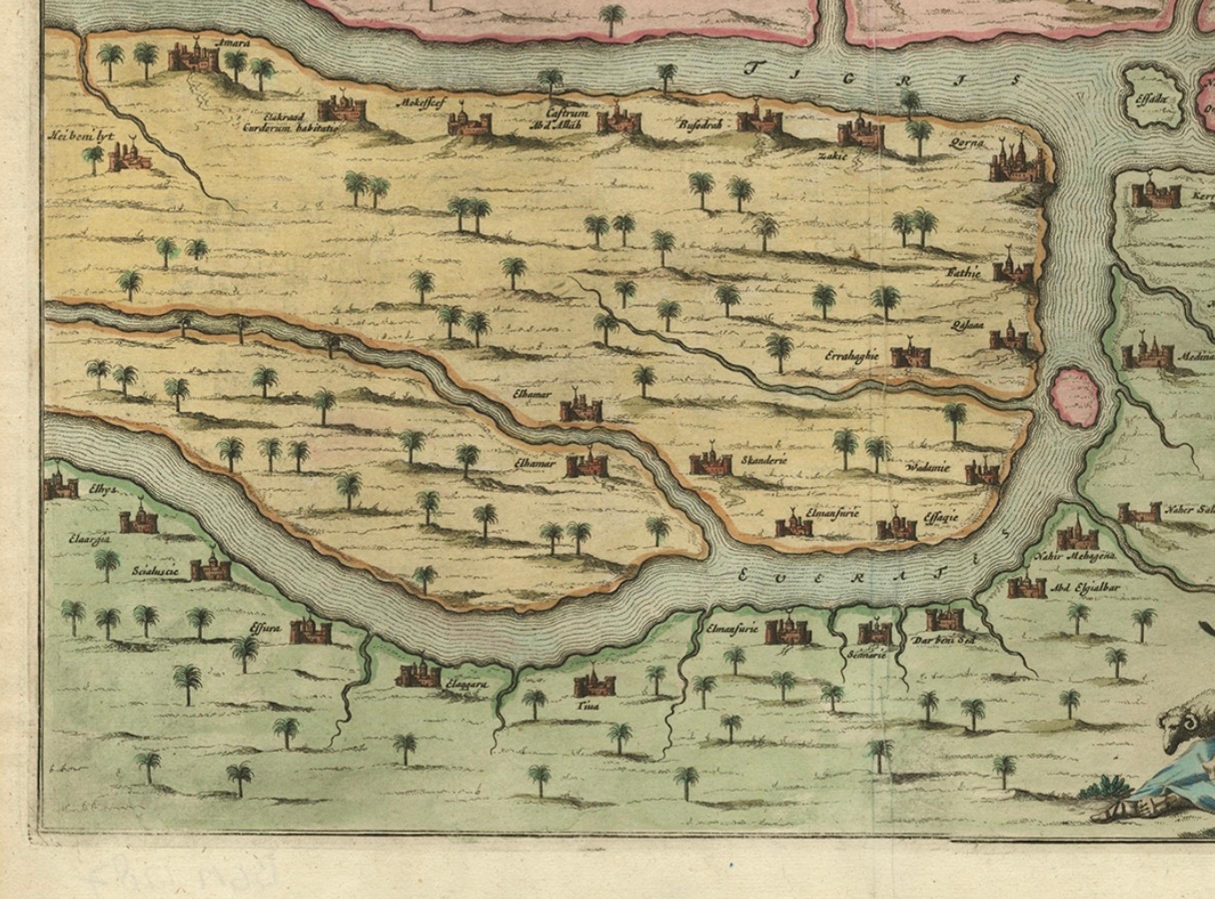
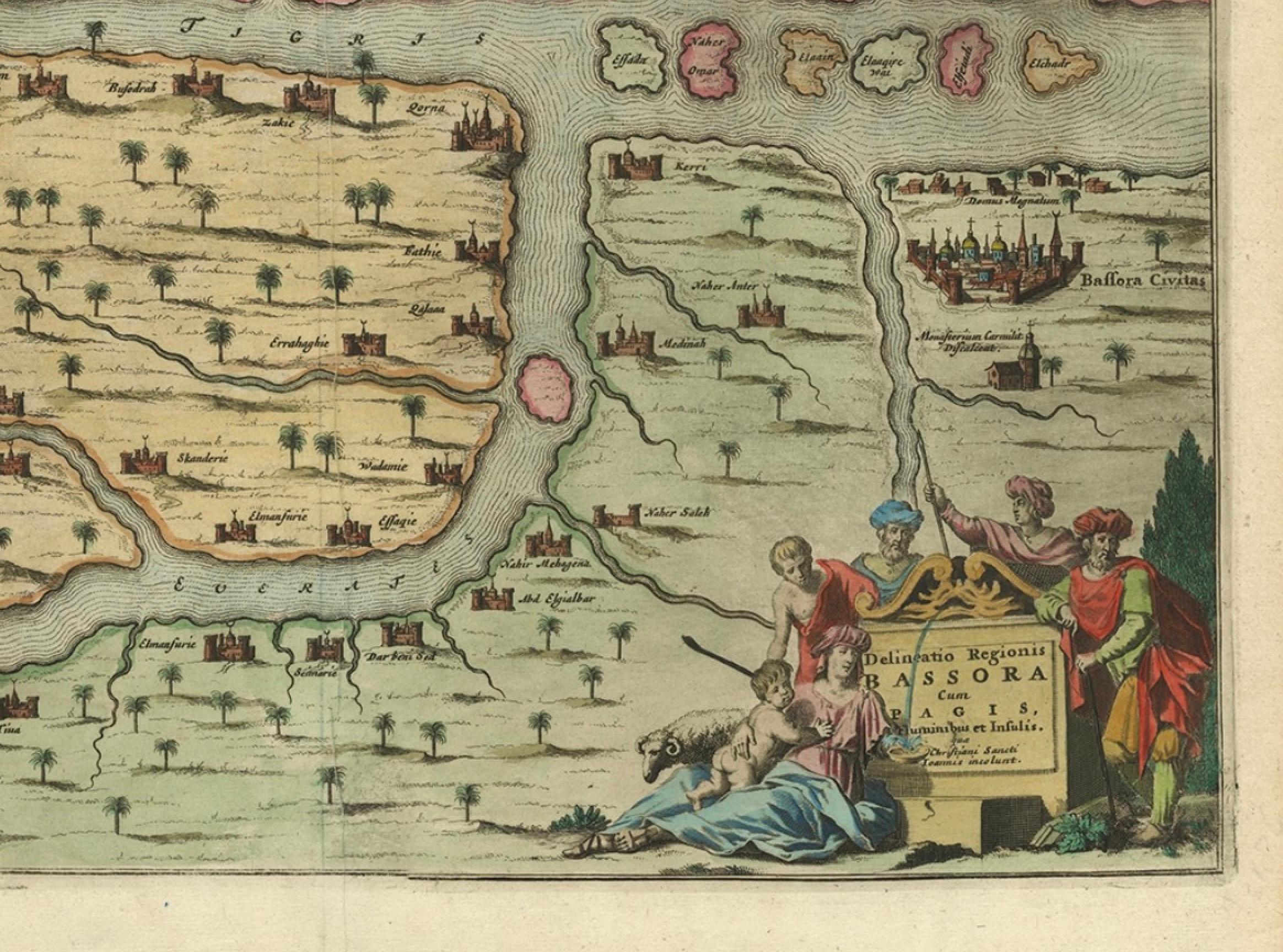
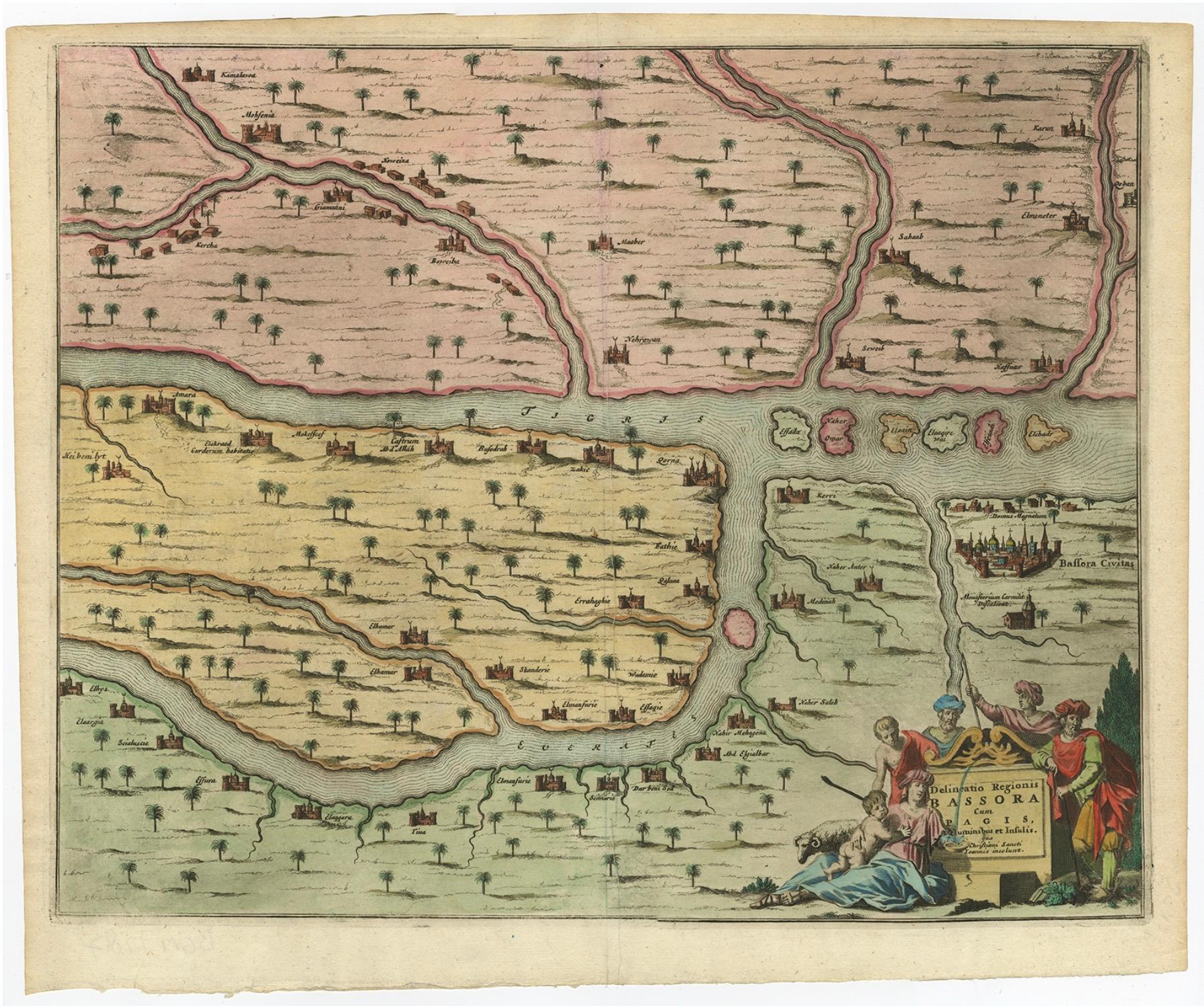
Antique map titled 'Delineato Regionis Bassora cum Angis uminibus et Isulis.'
Map of the Bassora (Basra) region, Iraq.
Artists and Engravers: Made by 'Olfert Dapper' after an anonymous artist. Olfert Dapper (c. 1635 - 1689) was a Dutch physician and writer. He wrote books about history and geography, although he never travelled outside Holland. Until today, his book Description of Africa (1668) is a key text for Africanists.
Condition: Good, given age. A few minor crinkles. Original middle fold as issued. General age-related toning and/or occasional minor defects from handling. Please study image carefully.