Antique Scripture Map of Mesopotamia and the Adjacent Countries, 1823
€ 290
Original antique · The actual sheet photographed · Certificate of authenticity on request · Sold unframed · Worldwide shipping from € 15 (rates)
Date
1823
Mapmaker / artist
James Wyld; engraved by G. Neele
Publisher
G. and W. B. Whittaker, London
Technique
Copper engraving
Coloring
Original hand color
Sheet size
26 × 34 cm (10.2 × 13.4 in)
Condition
Good
Reference
BG-14409-2
What the condition grades mean
Excellent
Bright and clean, with no faults worth mentioning.
Very good
Only light signs of age, such as faint toning.
Good
Normal signs of age for a sheet of this period: toning, some foxing, small marks or neat old repairs.
Fair
Clear faults such as staining, tears or repairs, priced to match.
Every fault we see is written in the condition note, and the whole sheet is shown uncropped in the photos.
Condition
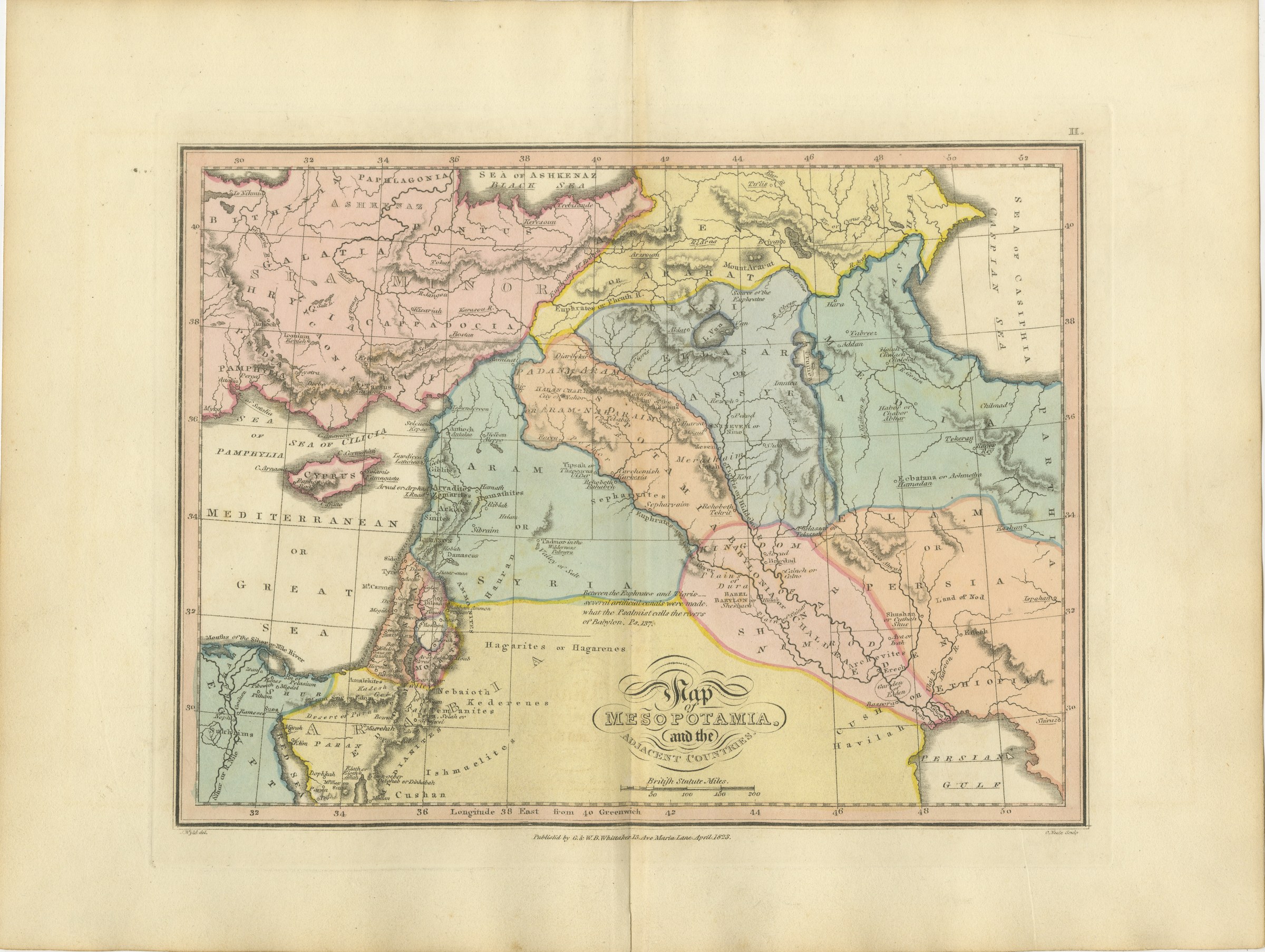
Light uneven toning, browner toward the edges. Marked handling soiling along all four edges. Foxing over much of the margin. All four corners are present. Minor edge wear, shallow nicks along the left. Original center fold as issued.
About this sheet
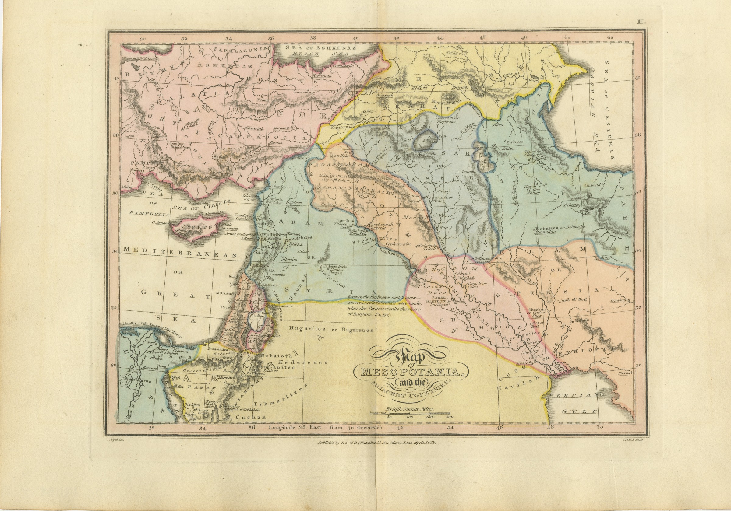
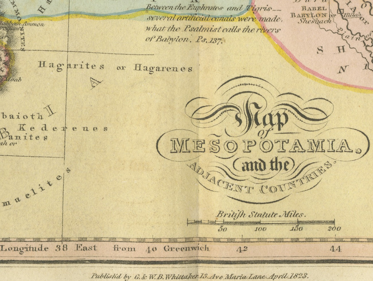
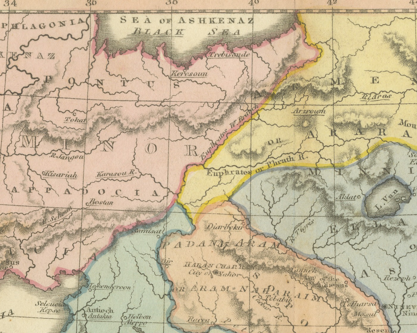
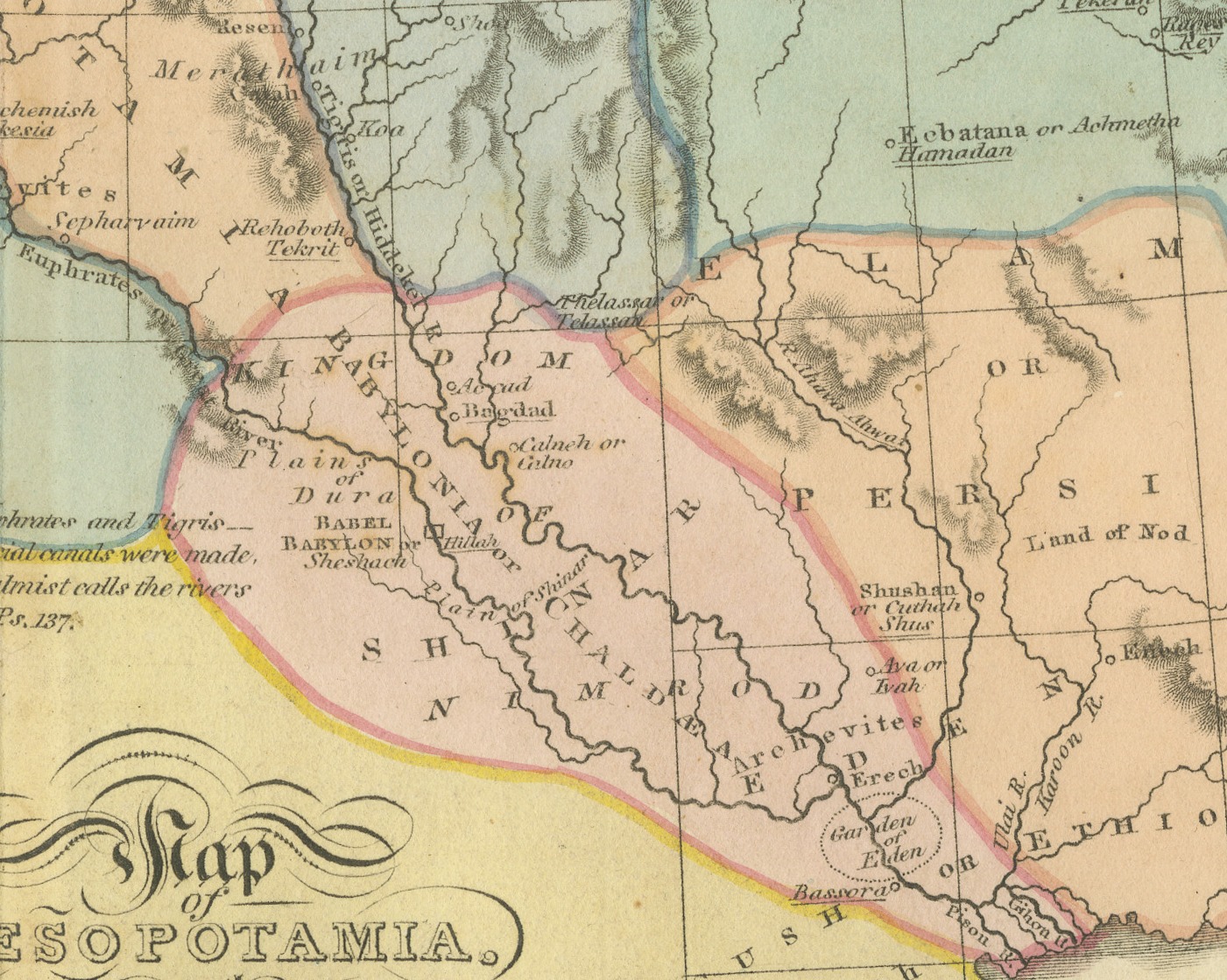
This is an original antique copper engraved map with original hand coloring, published in 1823 as plate II of James Wyld's Geographia Sacra, or Scripture Atlas. The title, engraved in an open flourished cartouche in the lower center of the map, reads "Map of MESOPOTAMIA. and the ADJACENT COUNTRIES."
The map runs from Asia Minor, Cyprus and the Mediterranean, or Great Sea, on the left to the Caspian Sea and Persia on the right, and from the Black Sea down to the head of the Persian Gulf. Aram, Assyria, Ararat, Elam, Persia and Babylonia are lettered across the land, with the Euphrates and the Tigris drawn down to the Gulf, the mountains worked in hachure and the regions washed in pink, blue, yellow and orange. Babel and Babylon are marked between the rivers, and the Land of Nod appears in the east. An engraved note below Syria reads "Between the Euphrates and Tigris several artificial canals were made, what the Psalmist calls the rivers of Babylon. Ps. 137." A scale of British Statute Miles sits below the title, and longitude east from Greenwich is marked along the lower border.
Under the lower left corner of the border is the credit "J. Wyld del.", under the lower right corner "G. Neele Sculp", and centered between them the imprint "Publish'd by G. & W. B. Whittaker, 13, Ave Maria Lane, April 1823." The plate number "II." is engraved above the upper right corner of the border.
The sheet belongs to Geographia Sacra, or Scripture Atlas, issued in London in 1823 by G. and W. B. Whittaker. On the engraved title page of the atlas Wyld is described as "of the Quarter Master General's Office, Horse Guards". James Wyld the elder (1790 to 1836) was a London geographer and map publisher.
Light uneven toning, browner toward the edges. Marked handling soiling along all four edges. Foxing over much of the margin. All four corners are present. Minor edge wear, shallow nicks along the left. Original center fold as issued.
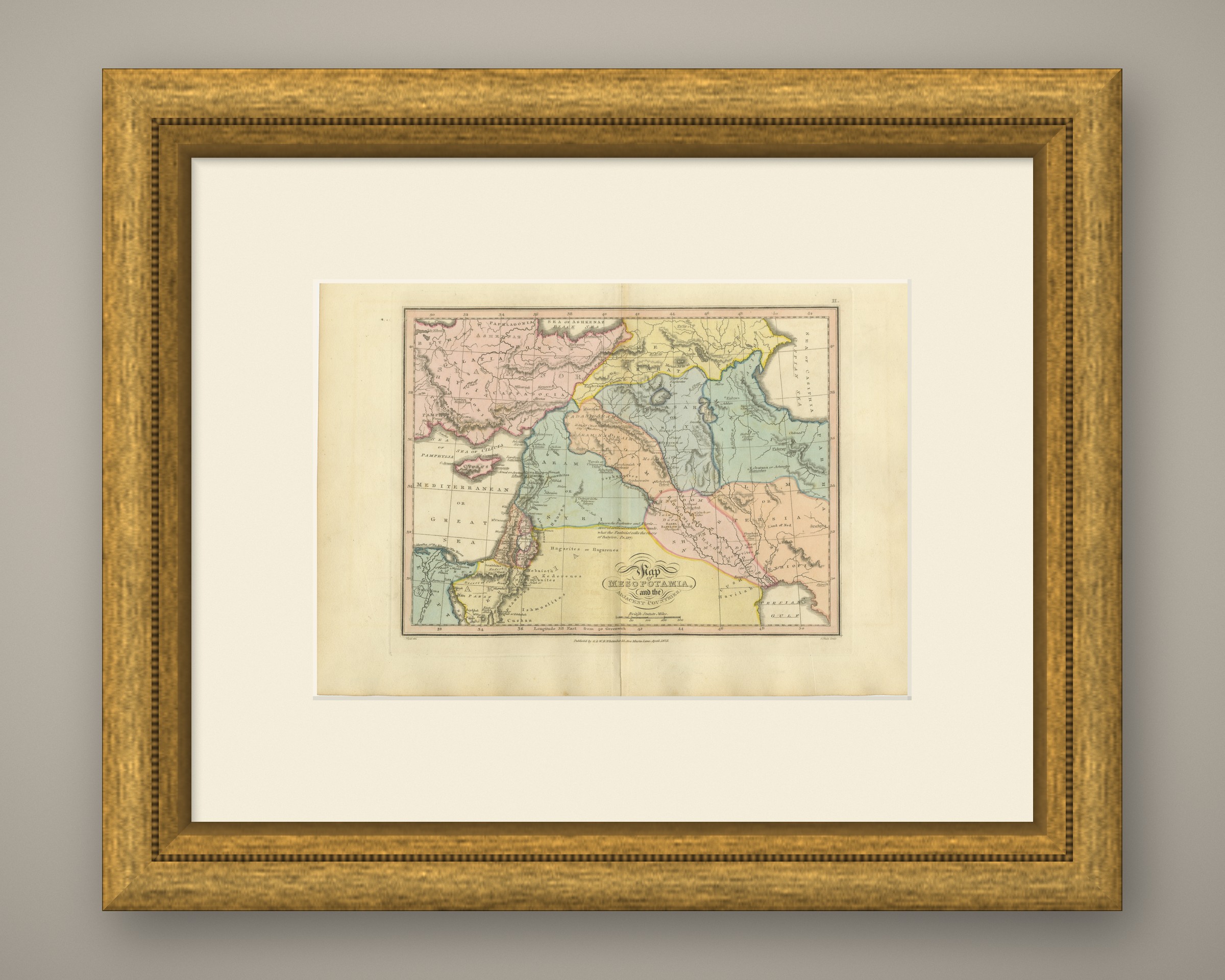
This is an original antique map, not a modern reproduction. This item is sold unframed. Any framed or interior images are shown for presentation and inspiration only, unless the listing explicitly states that the item is sold framed.