About this sheet
Antique Map of the Ancient Persian Empire – Imperium Persicum, 1817
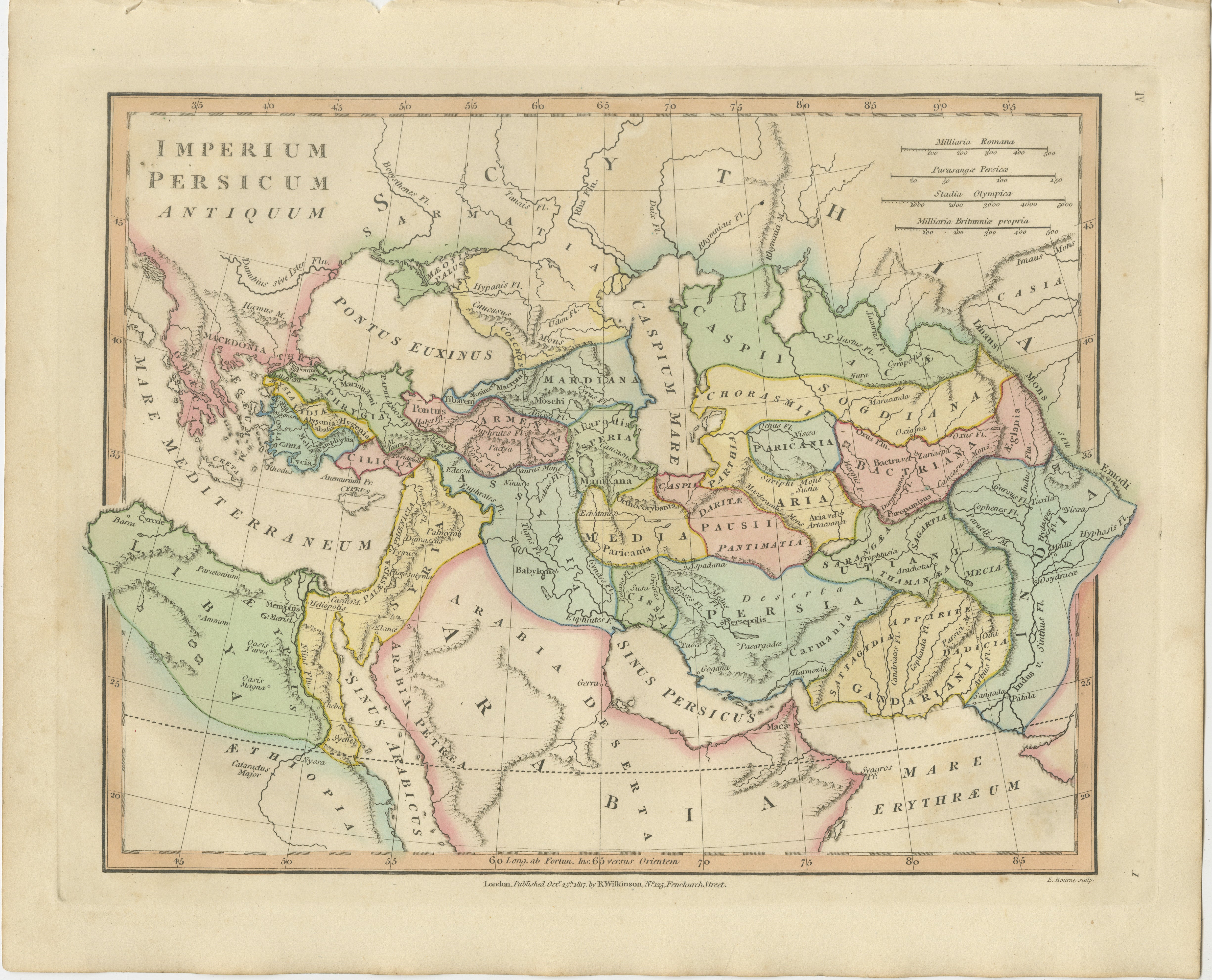
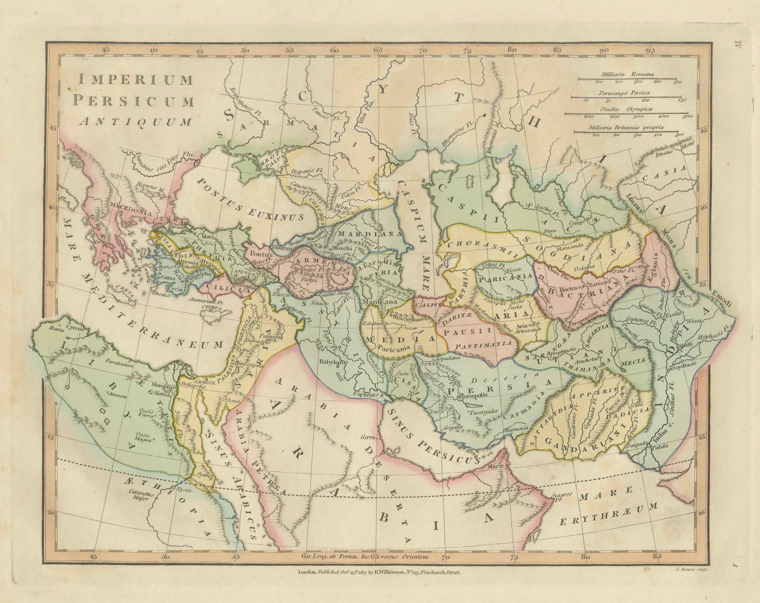
This finely engraved and beautifully hand-colored antique map titled Imperium Persicum Antiquum depicts the vast territories of the ancient Persian Empire at its greatest historical extent. Published in London in 1817 by the respected British map publisher Robert Wilkinson and engraved by E. Bourne, the map formed part of Wilkinson’s influential Atlas Classica, a scholarly atlas designed to illustrate the geography described by classical historians and ancient authors.
During the late eighteenth and early nineteenth centuries, European scholarship experienced a renewed fascination with the great civilizations of antiquity. Wilkinson’s Atlas Classica was produced as an educational and historical reference work, enabling students and readers of classical literature to visualize the lands described by historians such as Herodotus, Xenophon, Strabo, and Ptolemy. This map presents the territorial reach of the Persian Empire during the Classical Period, particularly during the era of the Achaemenid dynasty founded by Cyrus the Great.
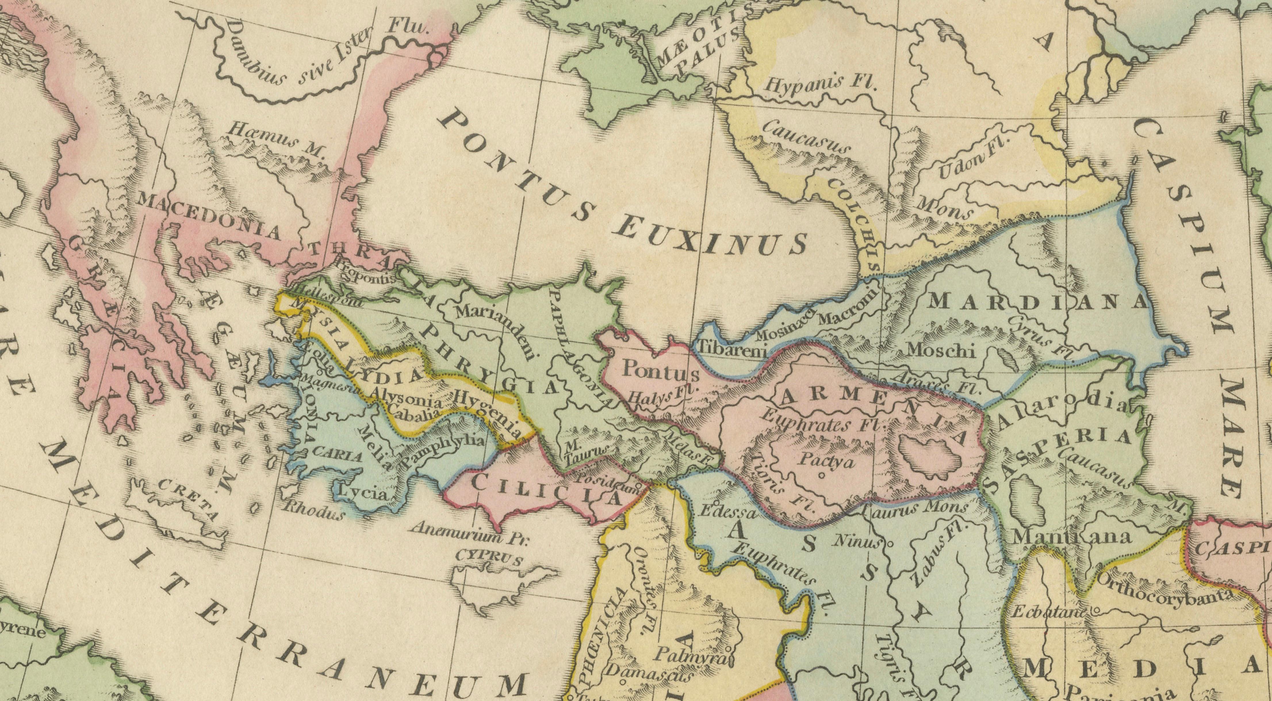
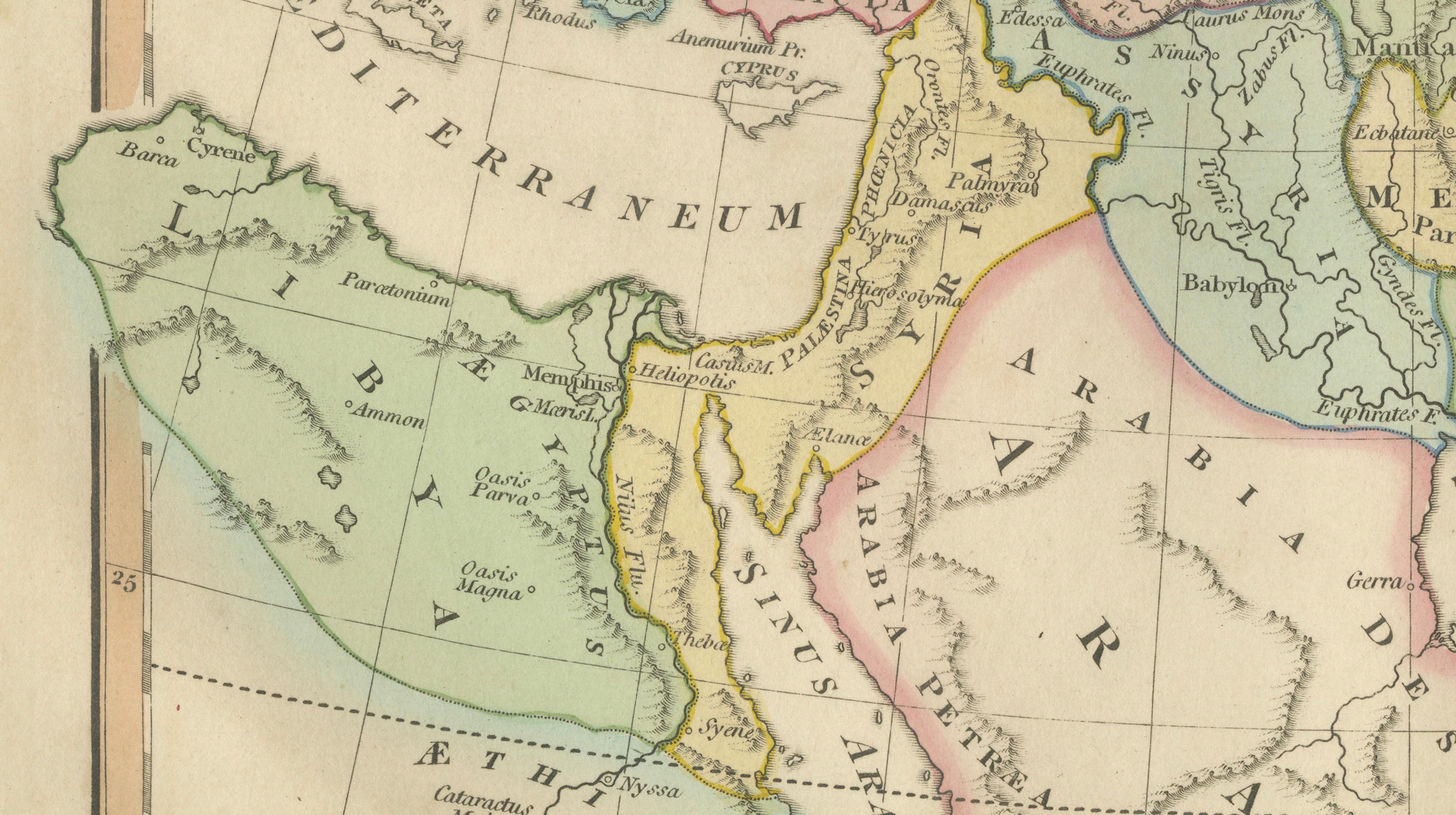
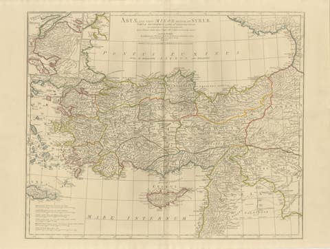
The map covers a vast geographic region stretching from Greece and the eastern Mediterranean across Anatolia and the Near East to Central Asia and the Indian subcontinent. To the west appear Macedonia and Greece along the shores of the Mediterranean, while Egypt and Libya occupy the southwestern portion of the map. Moving eastward, the territories of Asia Minor, Armenia, Mesopotamia, Media, and Persia dominate the central region, while Bactria, Sogdiana, Parthia, and other eastern provinces extend toward the frontiers of India.
Prominent bodies of water are carefully engraved, including the Mediterranean Sea, the Black Sea (Pontus Euxinus), the Caspian Sea (Caspium Mare), and the Persian Gulf (Sinus Persicus). The Arabian Peninsula is shown in detail to the south, labeled Arabia, while the Red Sea and the Mare Erythraeum appear along the southern edge of the map. Mountain ranges, rivers, and ancient trade routes are delicately rendered, reflecting the geographic understanding of the classical world.
Regions and provinces are distinguished with subtle contemporary hand coloring, allowing viewers to easily identify the various satrapies and territories associated with the Persian imperial system. Classical place names appear throughout the map, offering a fascinating glimpse into how the ancient world was recorded in historical sources.
The engraving itself is precise and elegant, characteristic of early nineteenth-century British cartography. E. Bourne’s fine line work and clear lettering give the map both scholarly clarity and decorative appeal, making it suitable for collectors of historical maps as well as designers seeking refined classical imagery.
This example is an original antique map printed in 1817 with original hand coloring applied at the time of publication. It is not a modern reproduction. Any images showing the map framed are for visual inspiration only. The map is supplied unframed.
Condition:
Good antique condition with attractive original hand coloring. Light age toning and occasional minor handling marks consistent with age. The sheet retains generous margins suitable for framing.
Framing tips:
This map displays beautifully in a dark walnut, ebonized, or gilded frame with a wide ivory or museum-white mat. A double mat with a subtle gold inner fillet complements the warm tones of the antique paper and highlights the delicate hand coloring, creating an elegant presentation suitable for a study, library, or classical interior.
Keyword block:
Imperium Persicum Antiquum, Persian Empire map, Achaemenid Empire map, Cyrus the Great empire map, ancient Persia map, Atlas Classica map, Robert Wilkinson map, London 1817 map, E Bourne engraver, ancient Middle East map, classical geography map, Persia, Media, Parthia, Bactria, Sogdiana, Armenia, Mesopotamia, Assyria, Babylonia, Asia Minor, Anatolia, Arabia, Egypt, Libya, Caucasus map, Caspian Sea map, Pontus Euxinus, Black Sea map, Mediterranean map, Persian Gulf map, Mare Erythraeum, Red Sea map, ancient Iran map, ancient Iraq map, ancient Afghanistan map, ancient India map, hand colored antique map, copperplate engraved map
Technique: Copperplate engraving with original hand color
Maker: Robert Wilkinson, London, 1817 (engraved by E. Bourne)