
1742 Antique Map of the Persian Empire with Detailed Borders and Cartouche
€ 1 620
One of a kind: this is the sheet in the photographs. Ships from Langweer, the Netherlands.
Date
1742
Sheet size
56.5 × 66 cm (22.2 × 26.0 in)
Condition
Good
Reference
BG-14047
Condition
Condition Report: The map is in excellent condition for its age, with strong engraving and original hand-coloring. Light toning and minor foxing are visible, consistent with its age. Margins are intact, and no significant tears or repairs are noted.
About this sheet
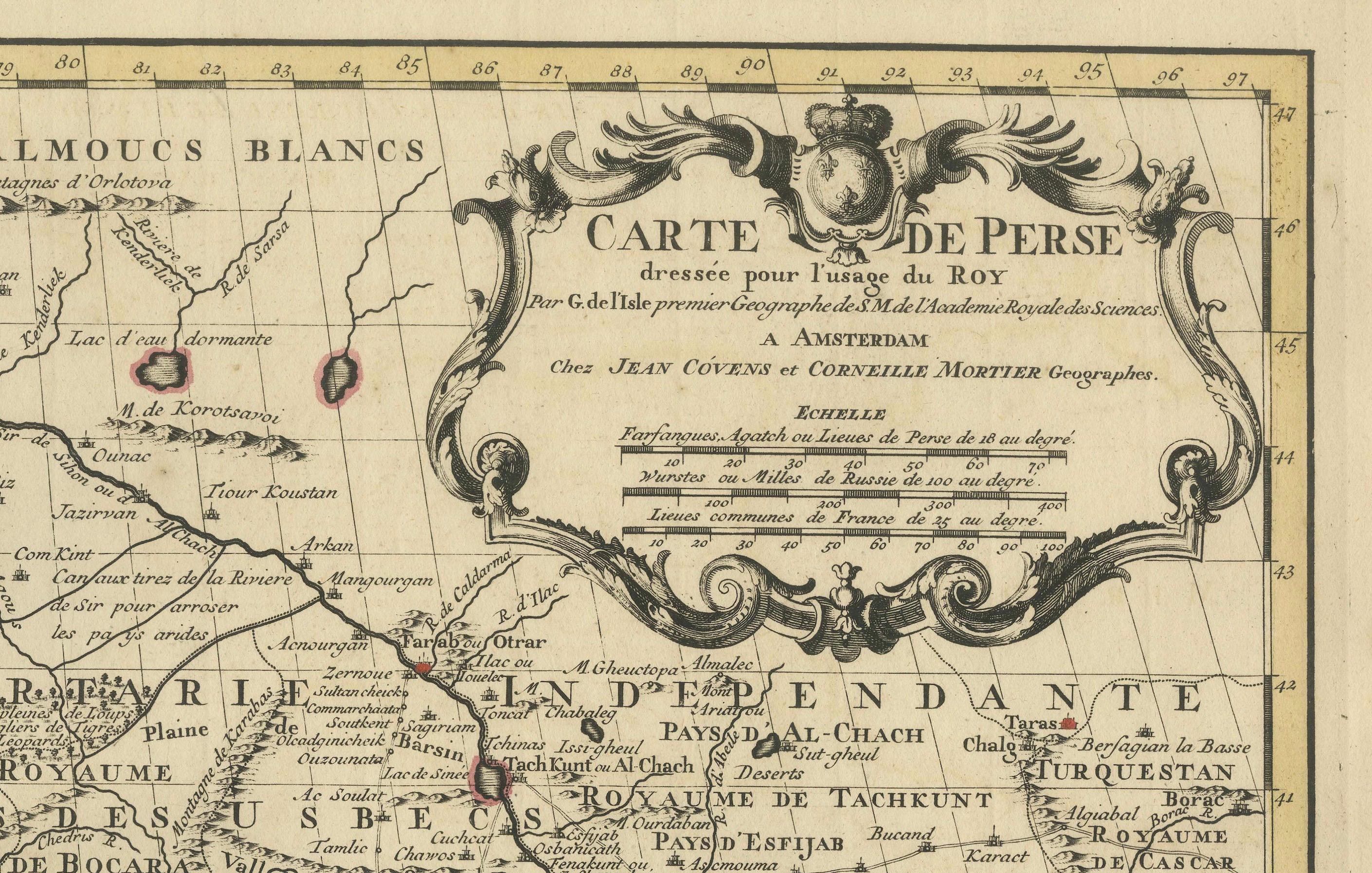
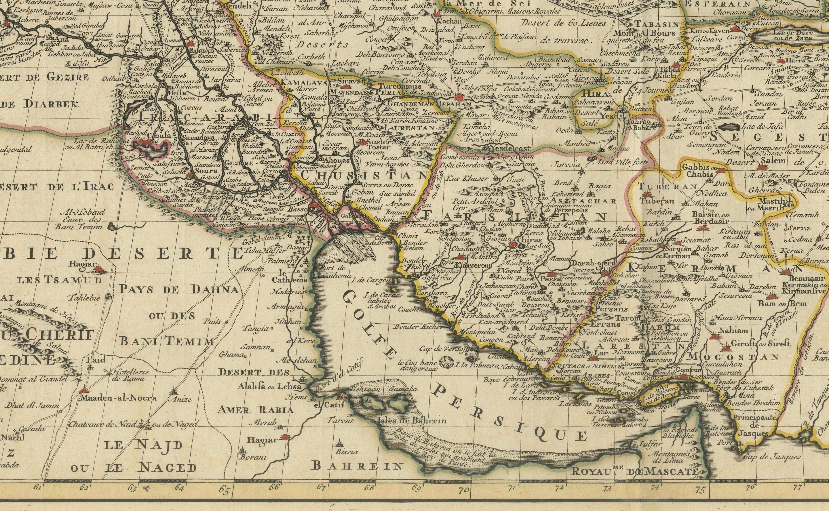
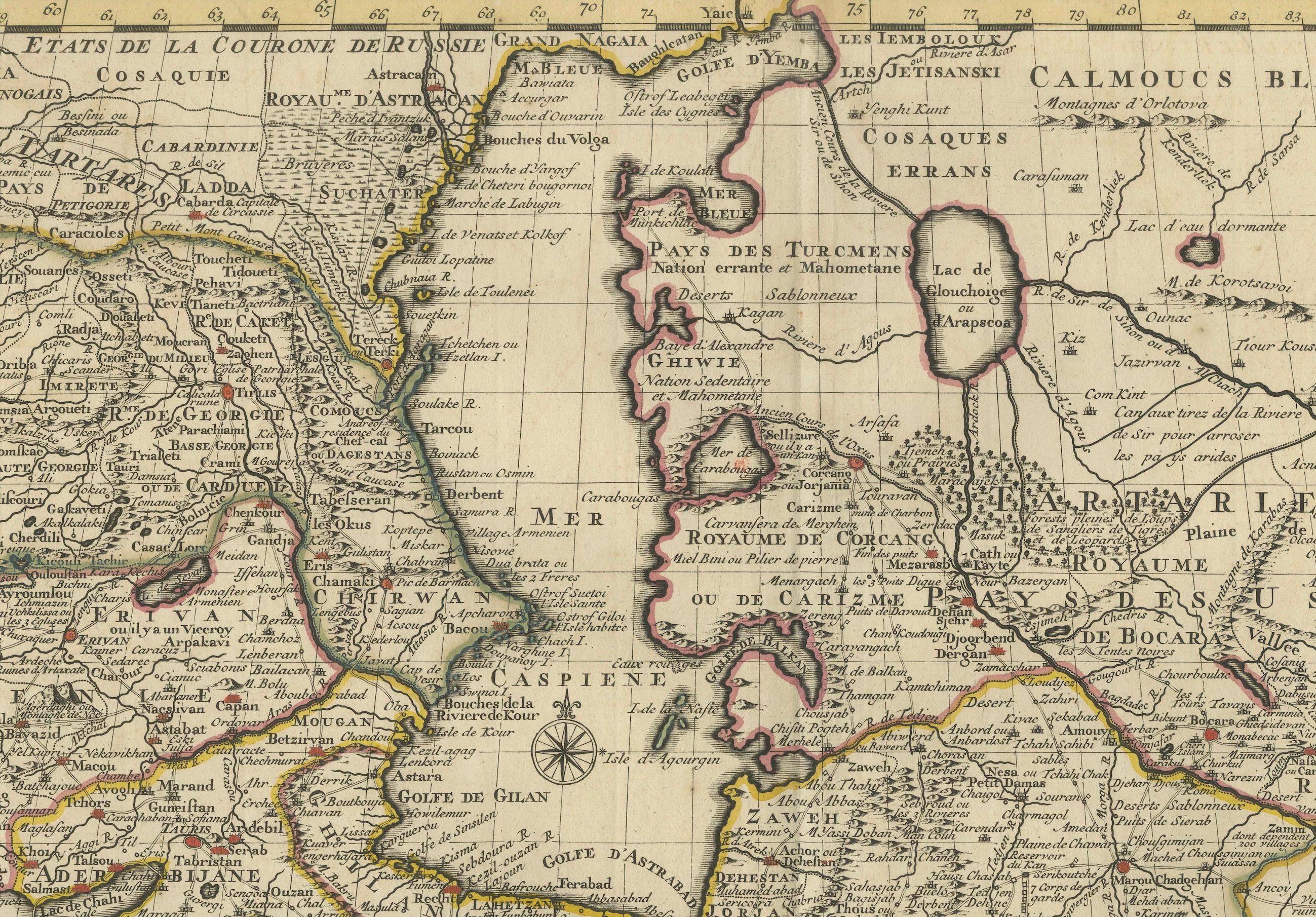

This remarkable 1742 map, "Carte de Perse," was originally designed by Guillaume De L'Isle, a preeminent geographer of his time, and published in Amsterdam by Covens & Mortier. The map offers a detailed representation of the Persian Empire, one of the most influential regions of the 18th century, spanning from the Black Sea to the Arabian Sea and from the Caspian Sea to the borders of the Indian subcontinent.
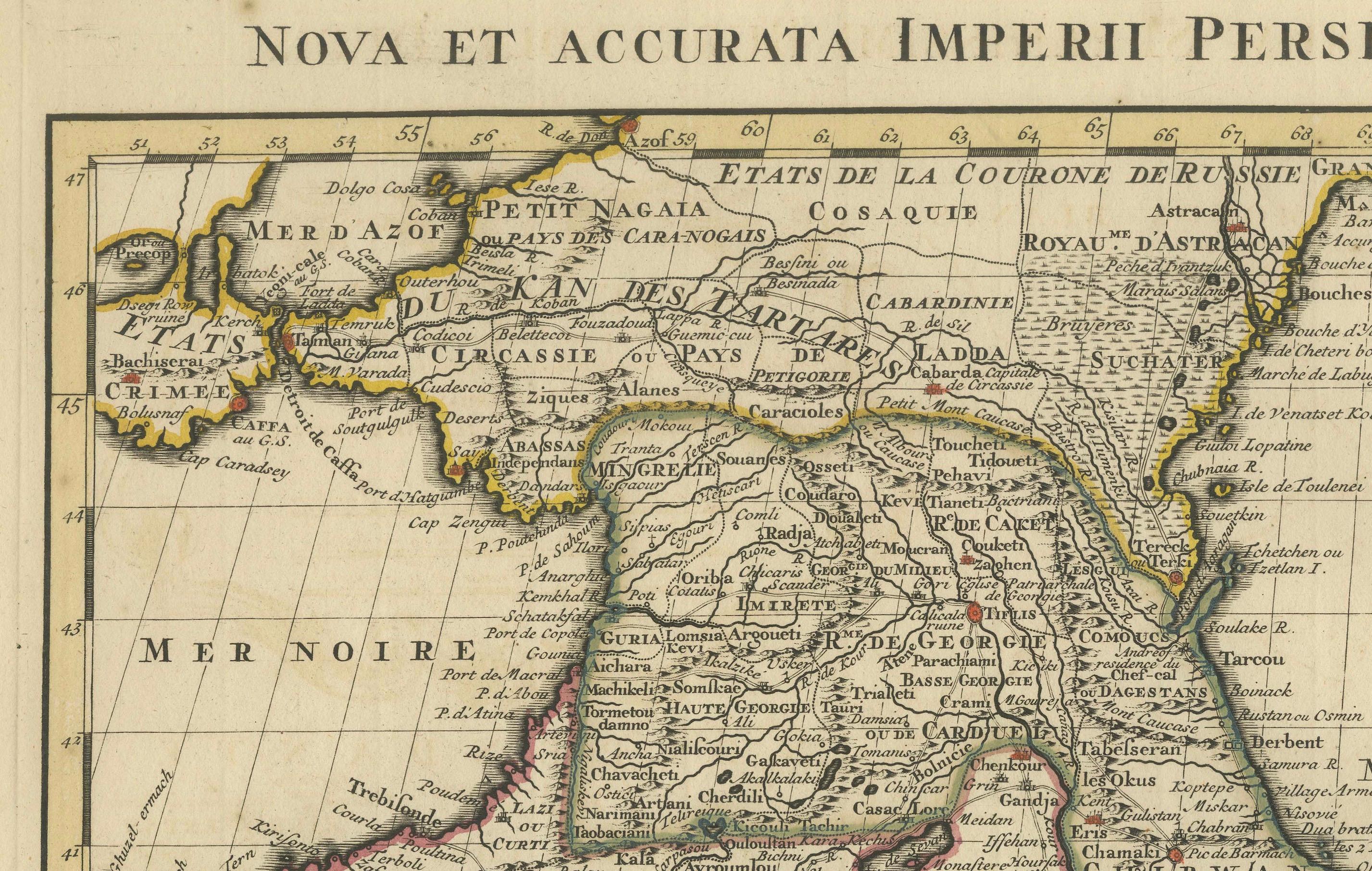
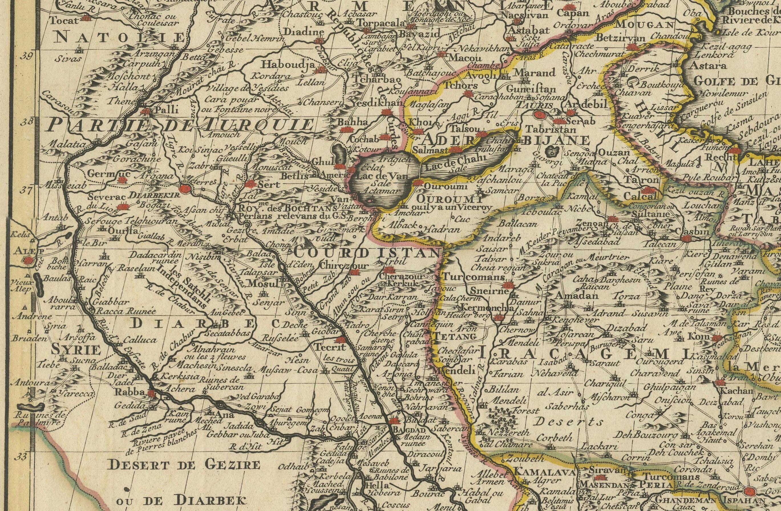
The map is richly detailed, with hand-colored outlines delineating the territories, including Persia (modern-day Iran), Armenia, Mesopotamia (Iraq), and parts of the Arabian Peninsula. Major cities, mountain ranges, rivers, and deserts are meticulously engraved, reflecting De L'Isle's commitment to accuracy. Additionally, the map extends into regions such as the Ottoman Empire, Central Asia, and northern India, offering a broader geopolitical context.
A beautifully designed title cartouche, adorned with allegorical figures, adds an artistic touch to this cartographic masterpiece. The upper margin bears the Latin title "Nova et accurata Imperii Persici delineatio ad usum serenissimi Burgundiae Ducis," indicating its high-quality design for a noble audience.
De L'Isle's maps are celebrated for their scientific rigor and elegance, and this map exemplifies his influence on cartography during the Enlightenment. It is a valuable piece for collectors of historical maps, particularly those focused on the Middle East and Central Asia.
Condition Report: The map is in very good to excellent condition for its age, with strong engraving and original hand-coloring. Light toning and minor foxing are visible, consistent with its age. Margins are intact, and no significant tears or repairs are noted.
Framing and Matting Tips: To emphasize the map's historical and artistic qualities, use an archival-quality mat in cream or soft beige tones. Pair it with an ornate gold or dark wooden frame to complement the decorative cartouche. UV-protective glass is essential to preserve the hand-coloring and prevent fading. Adding a descriptive plaque highlighting the map's significance would make it a centerpiece in any collection or display.