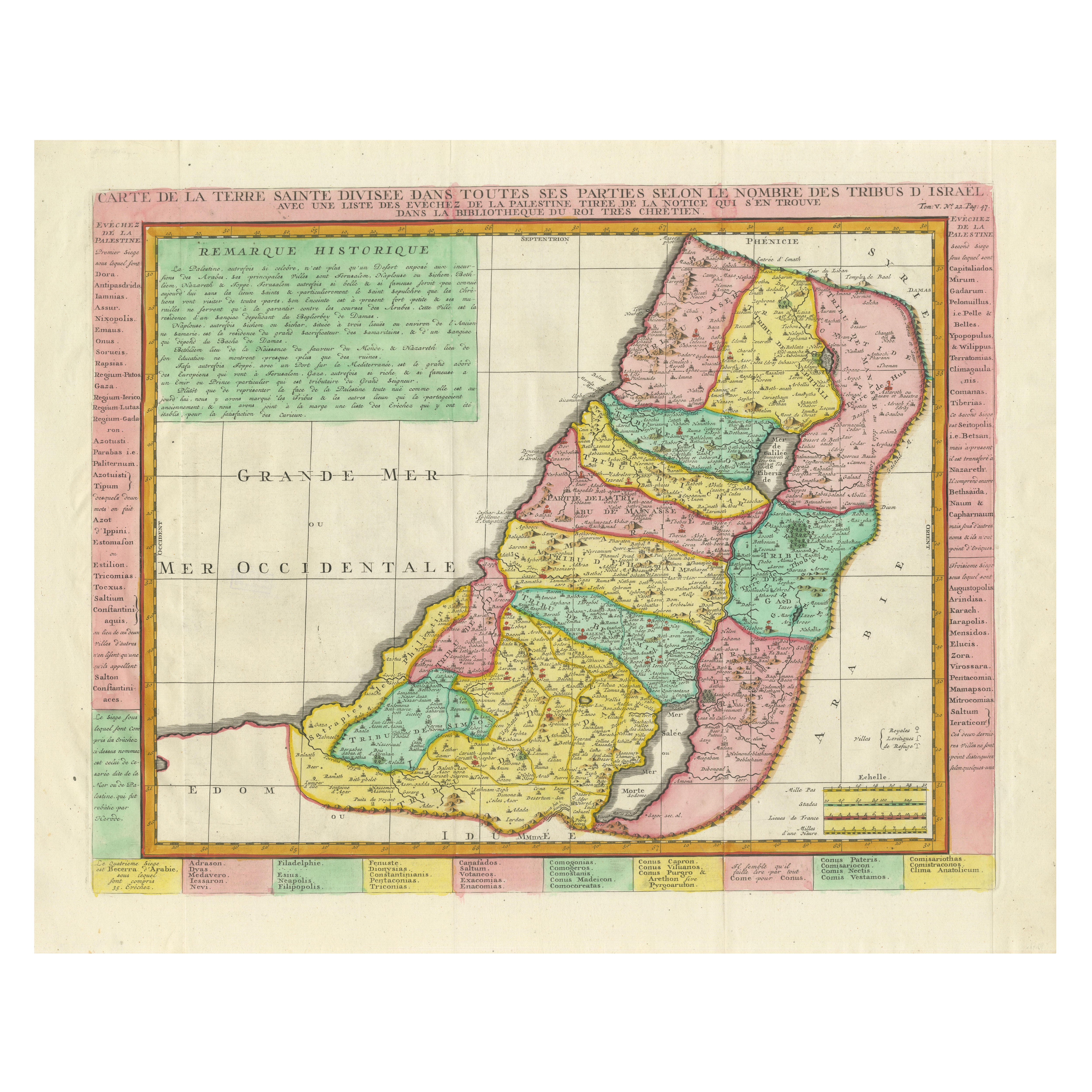
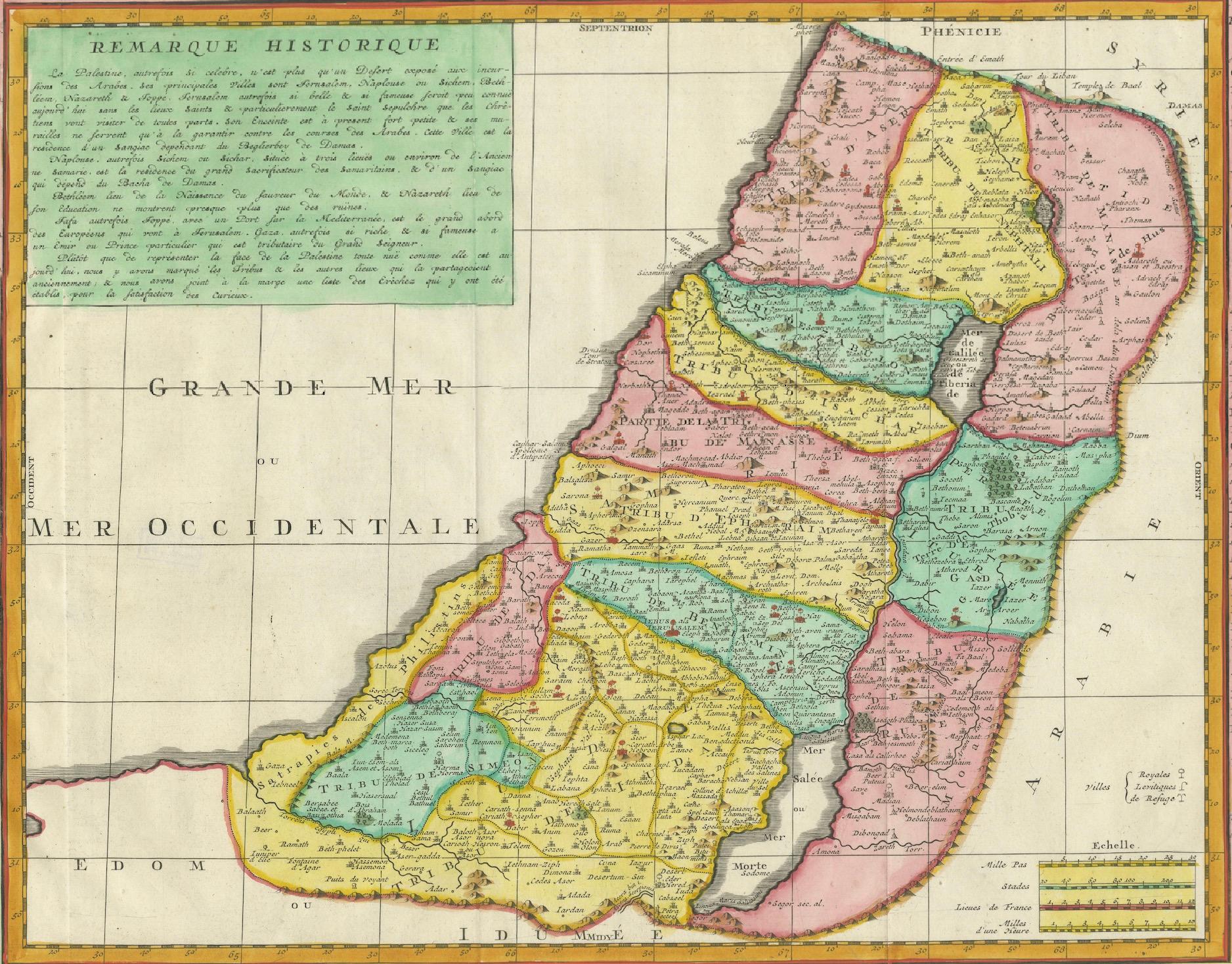
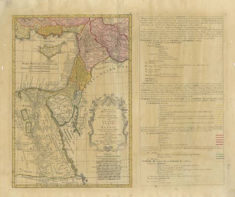
1732 Henri Chatelain Map of the Holy Land Divided Among the Tribes of Israel
€ 990
One of a kind: this is the sheet in the photographs. Ships from Langweer, the Netherlands.
Date
1732
Sheet size
55 × 63 cm (21.7 × 24.8 in)
Condition
Good
Reference
BG-14043-2
Condition
The map is in an almost excellent condition, with vibrant original hand-coloring and clear impressions. Margins are intact, and minor age-related toning is present. No tears or repairs but vertical folding lines as issued.
About this sheet
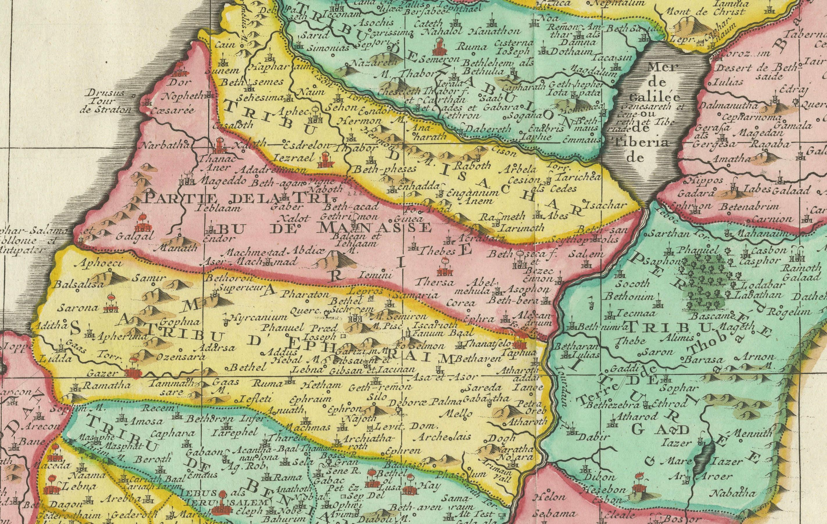
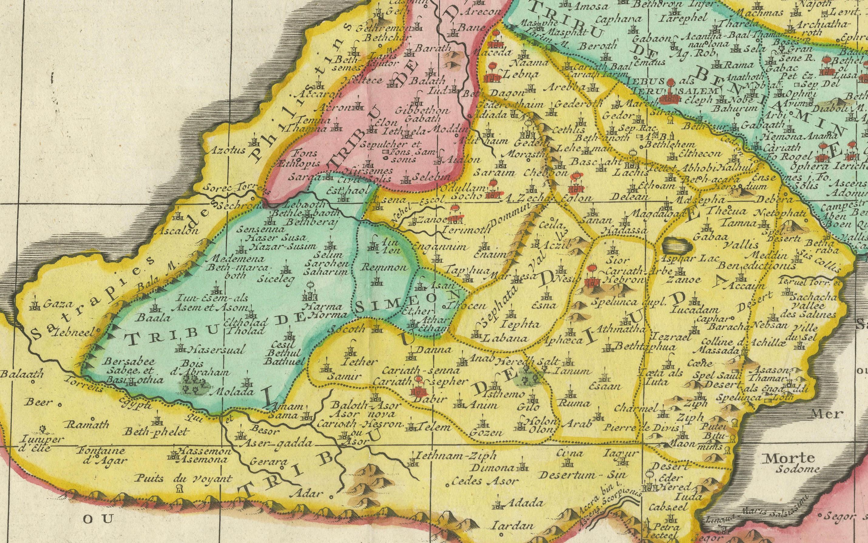
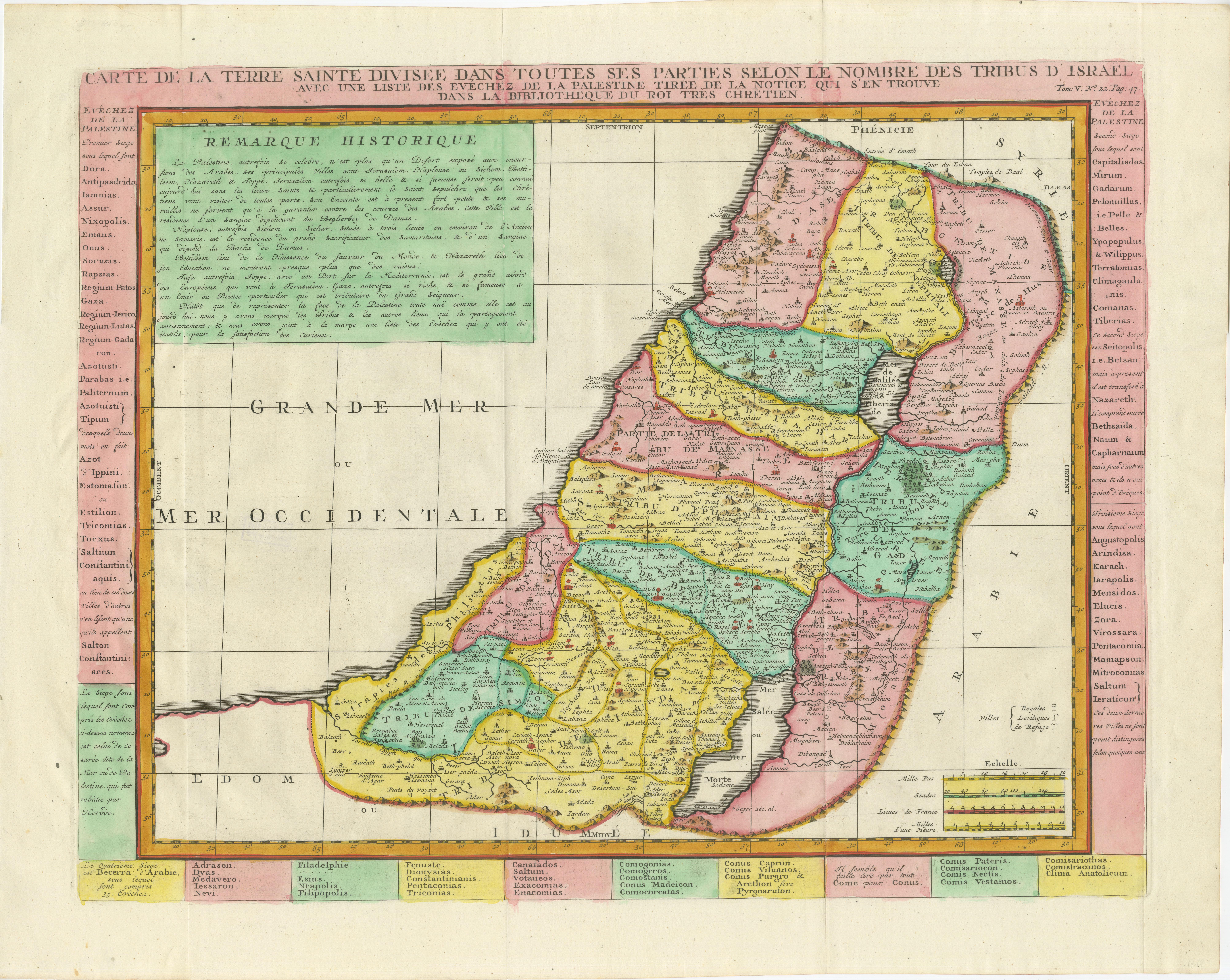
This exquisite 18th-century map by Henri Chatelain, published in 1732, offers a detailed depiction of the Holy Land divided among the 12 Tribes of Israel. Based on the work of Nicolas Sanson, the map is enriched with colorful territorial boundaries and annotations in French, showcasing the geography and ecclesiastical organization of Palestine.
The map’s central focus is the division of the Holy Land, with each tribe's allocated region distinctly outlined in vibrant hand-applied colors. Surrounding the map are columns of text that list the dioceses of Palestine, providing additional insight into the ecclesiastical and administrative divisions of the time. A prominent historical note at the top provides context, making the map both a visual and educational resource.
Published in Zacharie Chatelain's Atlas Historique (2nd edition), this copperplate engraving reflects the artistic and scholarly standards of early 18th-century cartography. Its meticulous detail and careful coloring make it a standout piece for collectors of Judaica, biblical cartography, or antique maps.
The map also features inset notes and legends, including a scale of measurement, enhancing its functionality as a reference tool. It serves as a fascinating blend of cartographic art, historical record, and religious narrative.
Condition Report: The map is in excellent condition, with vibrant original hand-coloring and clear impressions. Margins are intact, and minor age-related toning is present. No tears or repairs.
Framing and Matting Tips: To emphasize its historical significance, use a double mat in neutral tones such as cream or beige, paired with a gold or dark wooden frame. UV-protective glass is recommended to preserve the delicate colors and text from fading. Adding a custom plaque or descriptive label can enhance its appeal as a display piece. Consider placing it alongside other maps or prints from the *Atlas Historique* to create a cohesive visual narrative.