About this sheet
Cartographer: Christoph Weigel the Elder (1654–1725)
Publisher: Johann Ernst Adelbulner
Publication Location and Year: Nuremberg, 1718
Dimensions:
- Plate Size: 32.3 x 40.0 cm (12.7 x 15.7 inches)
- Sheet Size: 37.4 x 45.7 cm (14.7 x 18.0 inches)
---
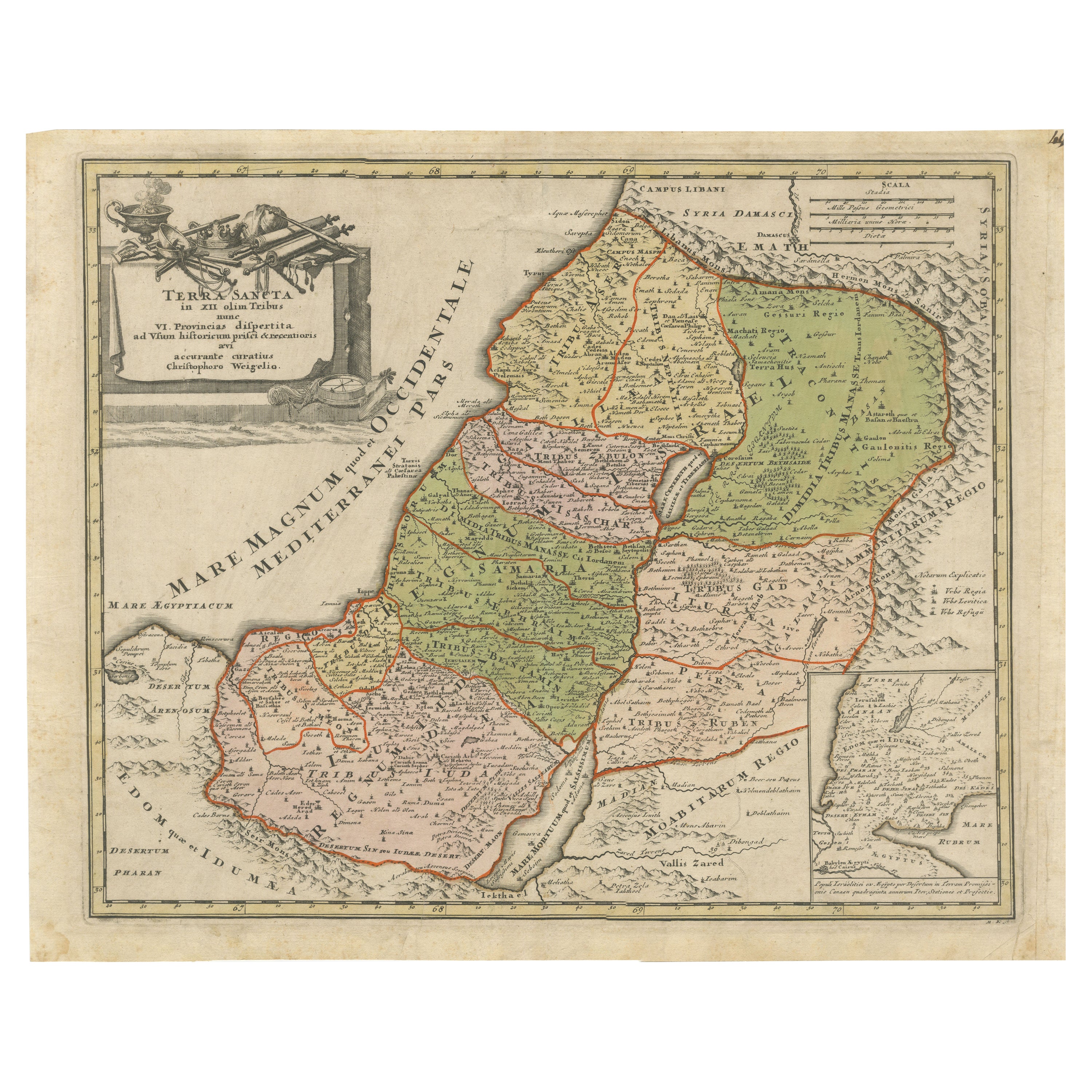
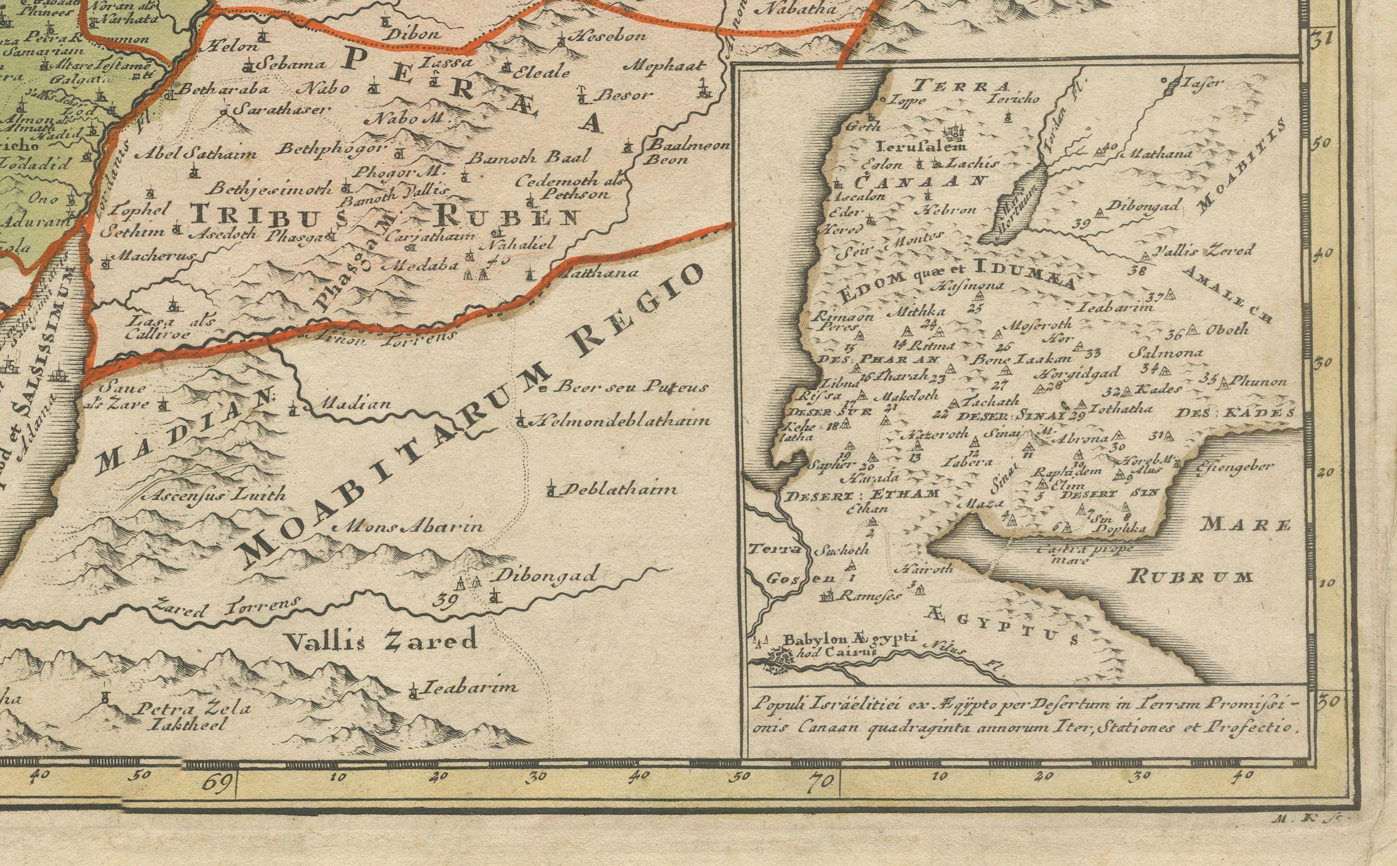
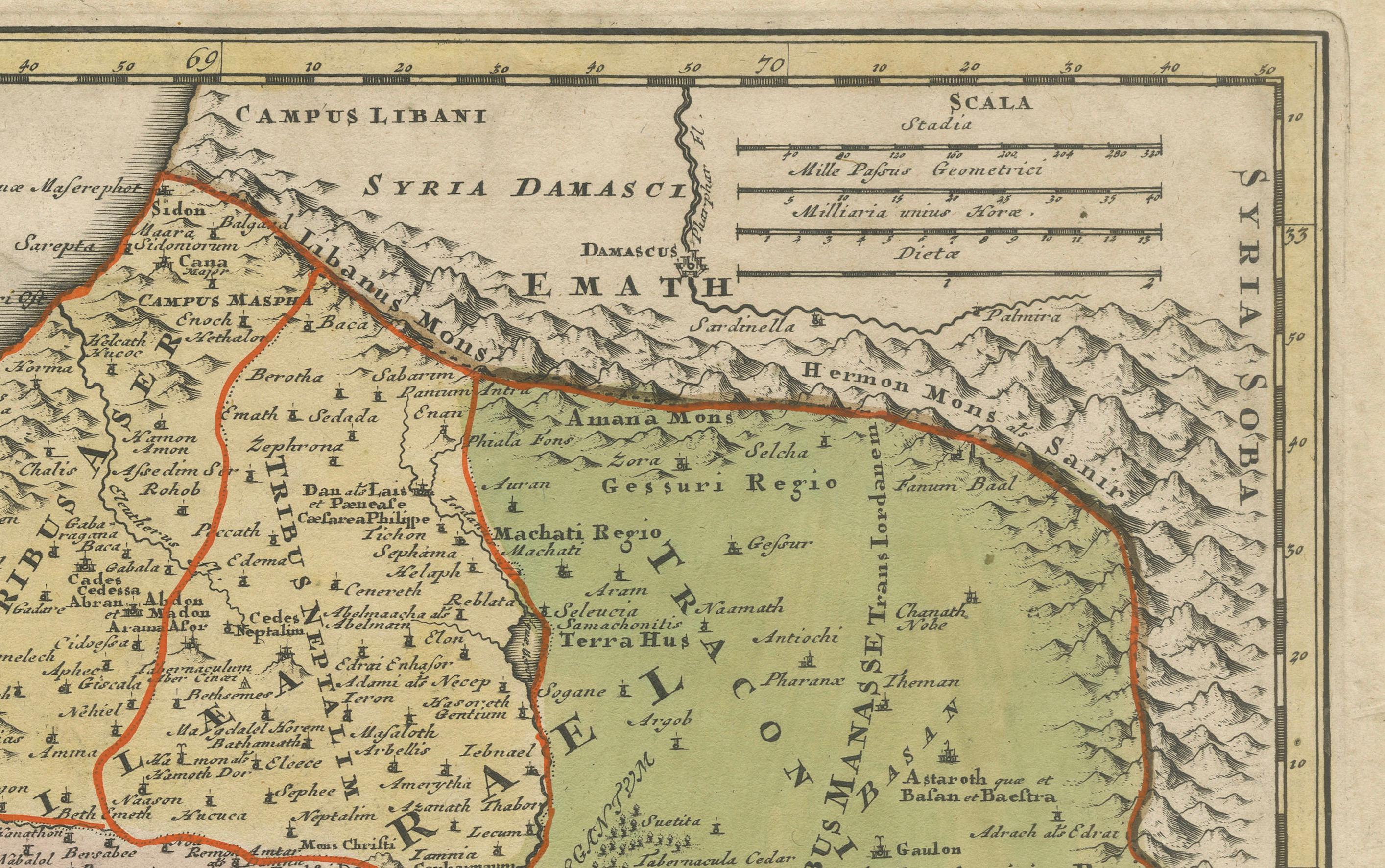
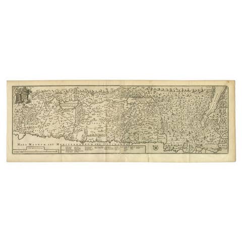
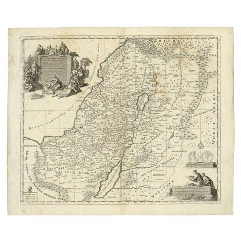
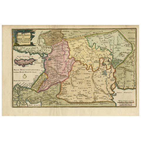
This finely engraved, hand-colored map of the Holy Land, produced in 1718, was created by Christoph Weigel the Elder and published in Nuremberg by Johann Ernst Adelbulner. The map represents the biblical Holy Land divided into the Twelve Tribes of Israel, later restructured into six provinces. It is a masterful blend of biblical and historical geography, showcasing territories that correspond to present-day Israel and its neighboring regions.
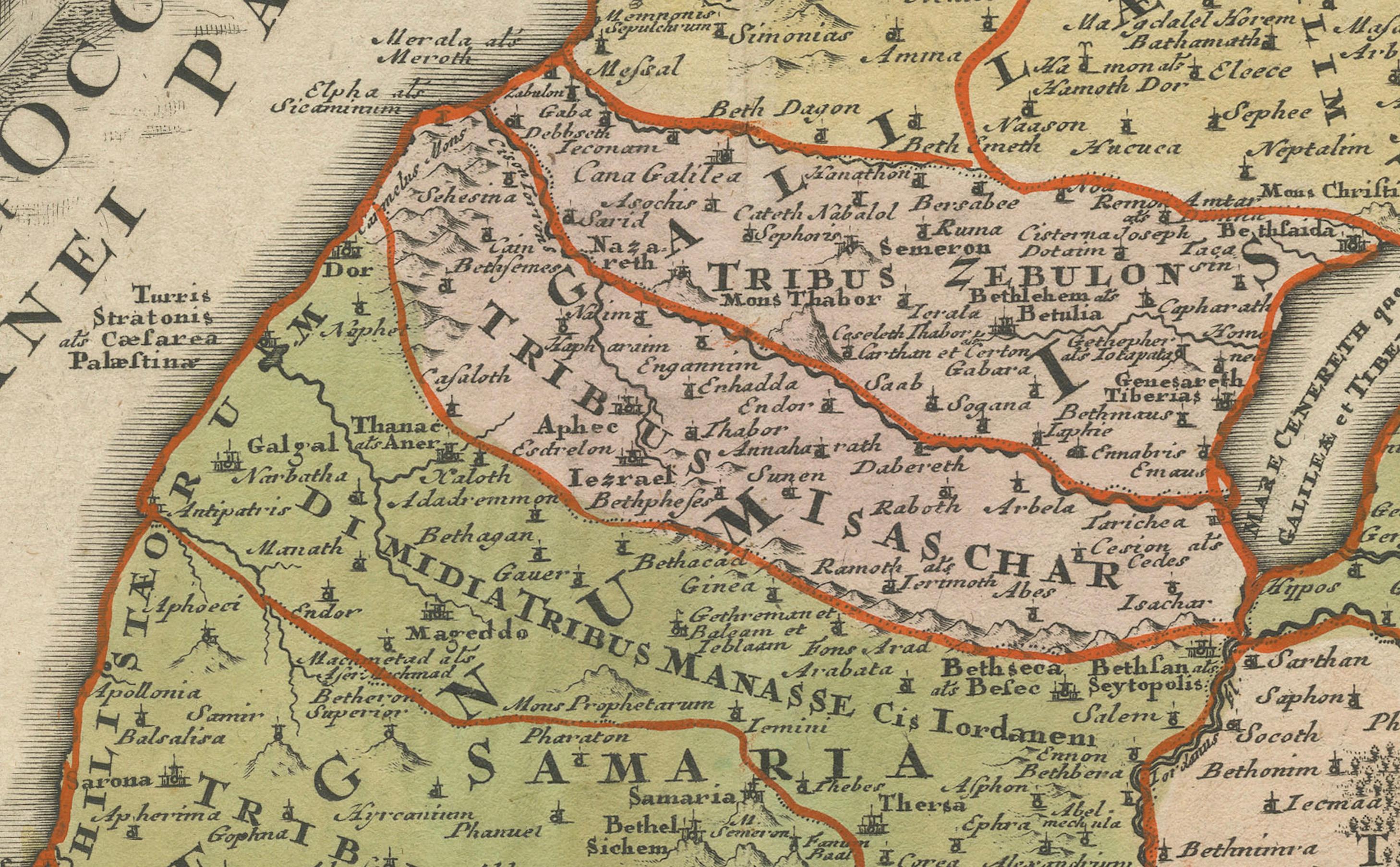
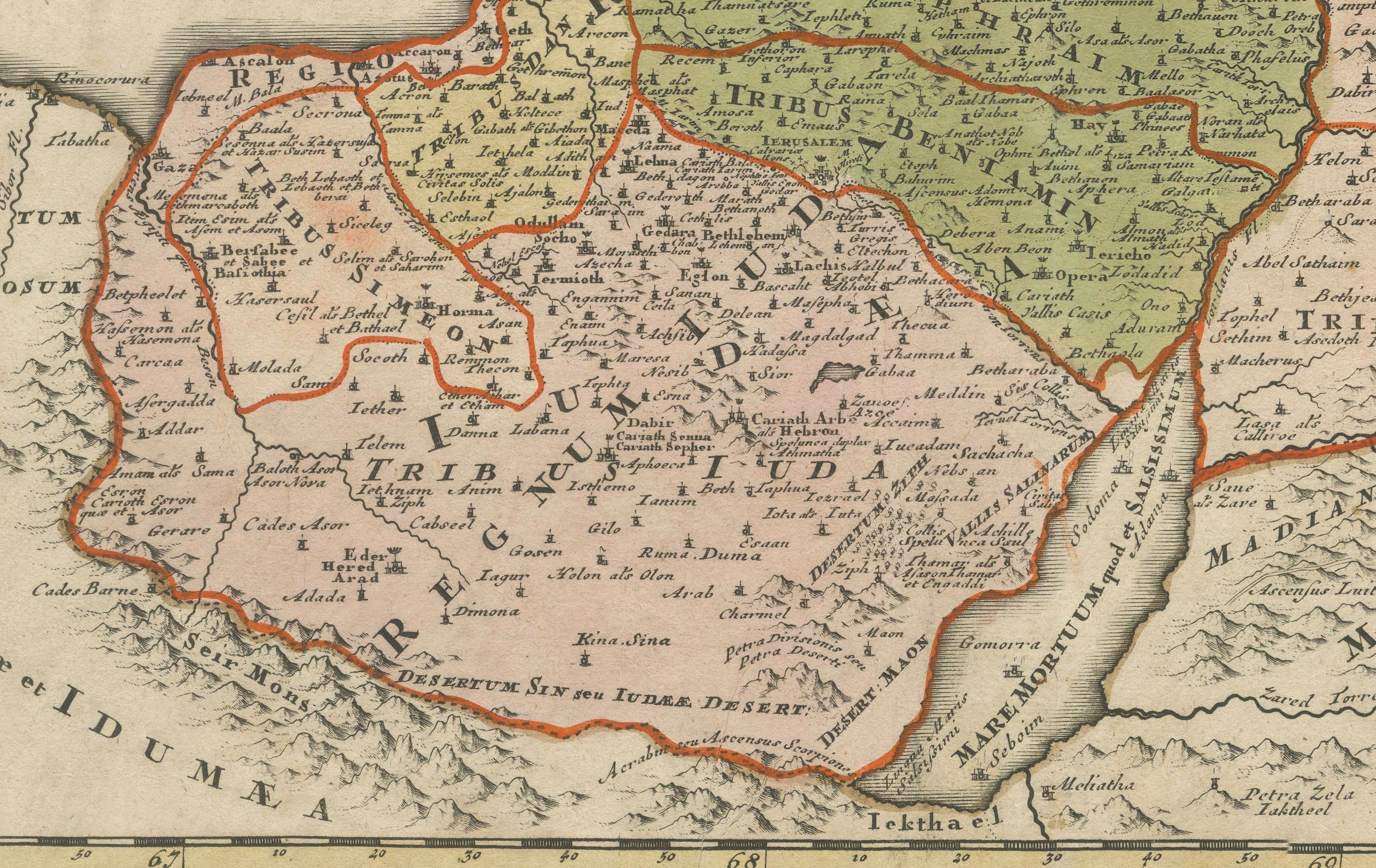
The map features remarkable detail, including topographical elements, biblical place names, and regional borders marked by distinctive coloring. The surrounding seas, including the Mediterranean (Mare Magnum) and the Dead Sea (Mare Rubrum), are labeled in Latin. To the southeast lies the Desertum Idumaeum, referencing the ancient Edomite territory.
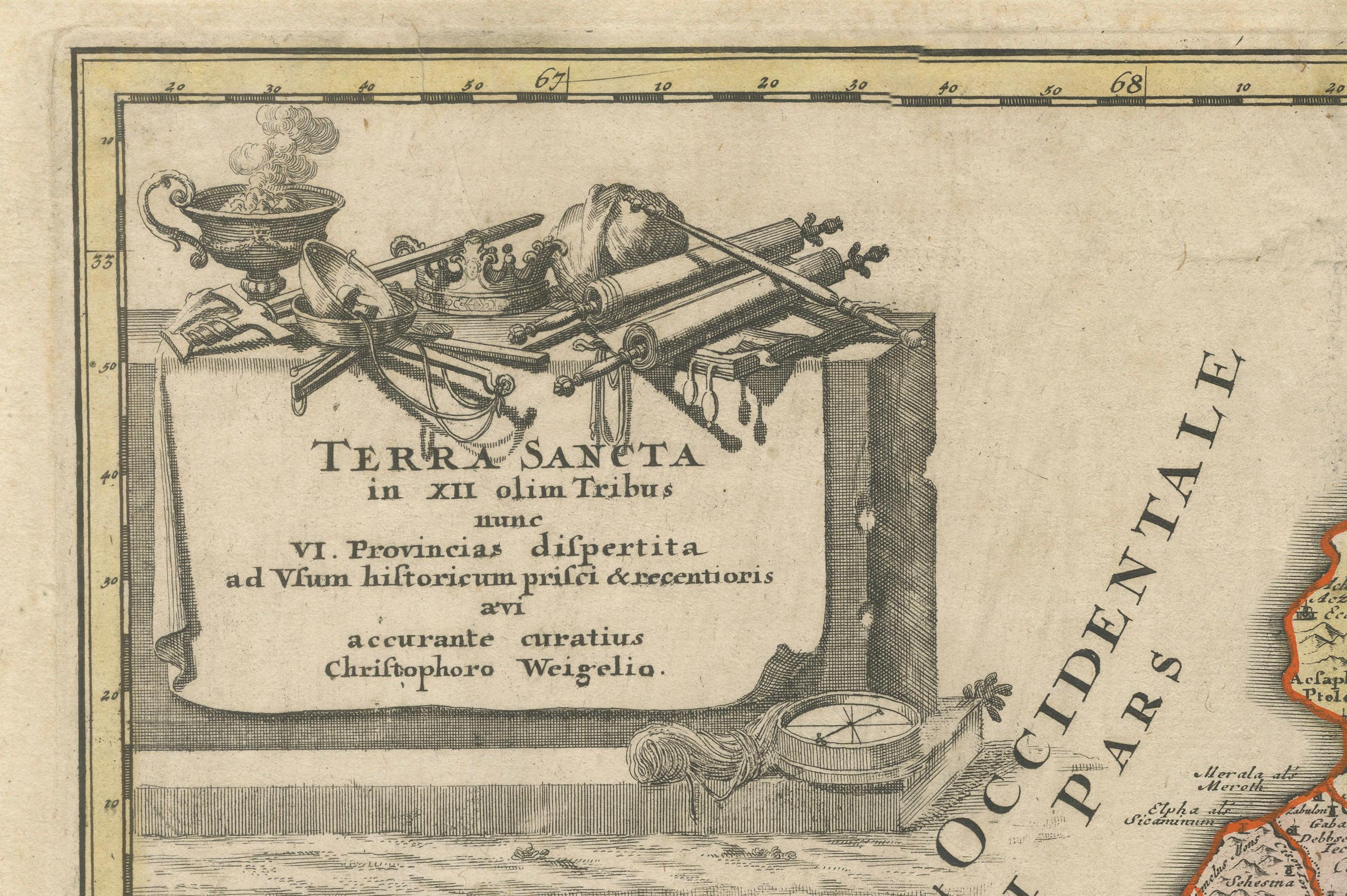
The title is presented in a decorative cartouche in the upper left corner, adorned with religious symbols such as a sacrificial altar, a sword, and a bowl, underscoring the map's biblical and historical significance.
An inset in the bottom-right corner provides additional context, offering a smaller map of regions around the Holy Land, including the Sinai Peninsula. The Latin inscriptions and detailed craftsmanship highlight Weigel’s dedication to both artistic and cartographic excellence.
This map was included in Weigel's renowned travel atlas, Bequemer Schul- und Reisen-Atlas (also known as Atlas scholasticus et itinerarius), which he created in collaboration with Johann David Köhler, a noted historian and professor.
---
Background Information:
Christoph Weigel the Elder:
Weigel was a celebrated engraver and publisher active in early 18th-century Nuremberg, a city known for its rich cartographic tradition. He produced over 70 books and engravings during his career, many of which gained widespread acclaim. His geographical works often reflect a close collaboration with Johann Baptist Homann, one of the most prominent cartographers of the era.
Weigel's maps were renowned for their combination of artistic flair and precise detail. His works are highly collectible and sought after by map enthusiasts and scholars for their historical, geographical, and aesthetic value.
Historical and Religious Context:
This map offers an insightful representation of the Holy Land as understood in the early 18th century, blending classical and biblical scholarship. The division into the Twelve Tribes of Israel reflects its biblical significance, while the reorganization into six provinces mirrors the geopolitical understanding of the time. The map serves as both a religious artifact and a geographical record, offering a snapshot of how the region was perceived and studied during the Enlightenment.
Significance of Weigel's Atlases:
The Atlas scholasticus et itinerarius, where this map originates, was intended for educational and travel purposes. It combined historical and modern geographical knowledge, making it a valuable resource for scholars, students, and travelers of the era.
---
Condition: The map is in very good condition, with original hand-coloring that remains vivid. Minor age-toning and edge wear are typical for a map of this age but do not detract from its overall appeal. The engraving is sharp, and the cartouche details are crisp and clear.
---
Keywords:
- Christoph Weigel map
- Holy Land map
- Antique biblical map
- 18th-century cartography
- Terra Sancta
- Map of Twelve Tribes
- Historical geography
- Bequemer Schul- und Reisen-Atlas
- Atlas scholasticus et itinerarius
- Nuremberg map publisher
- Decorative cartouche