About this sheet
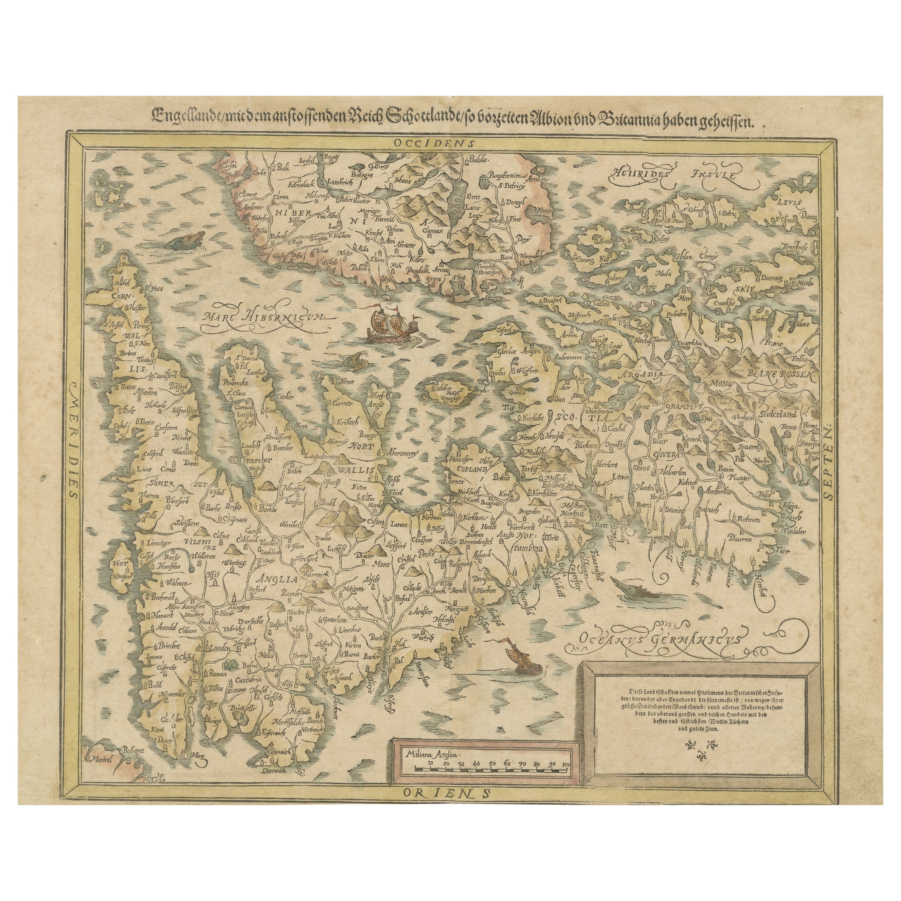
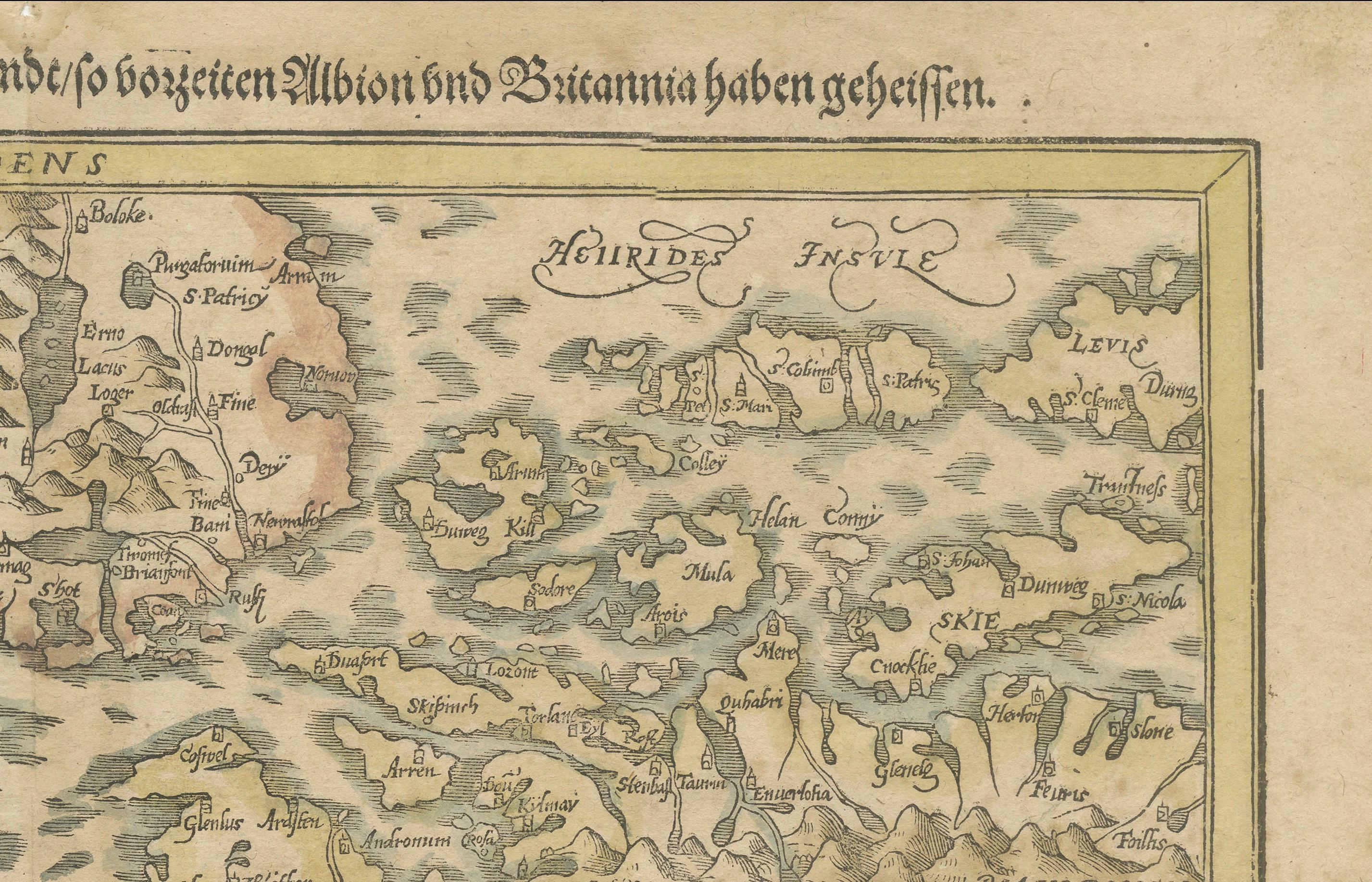
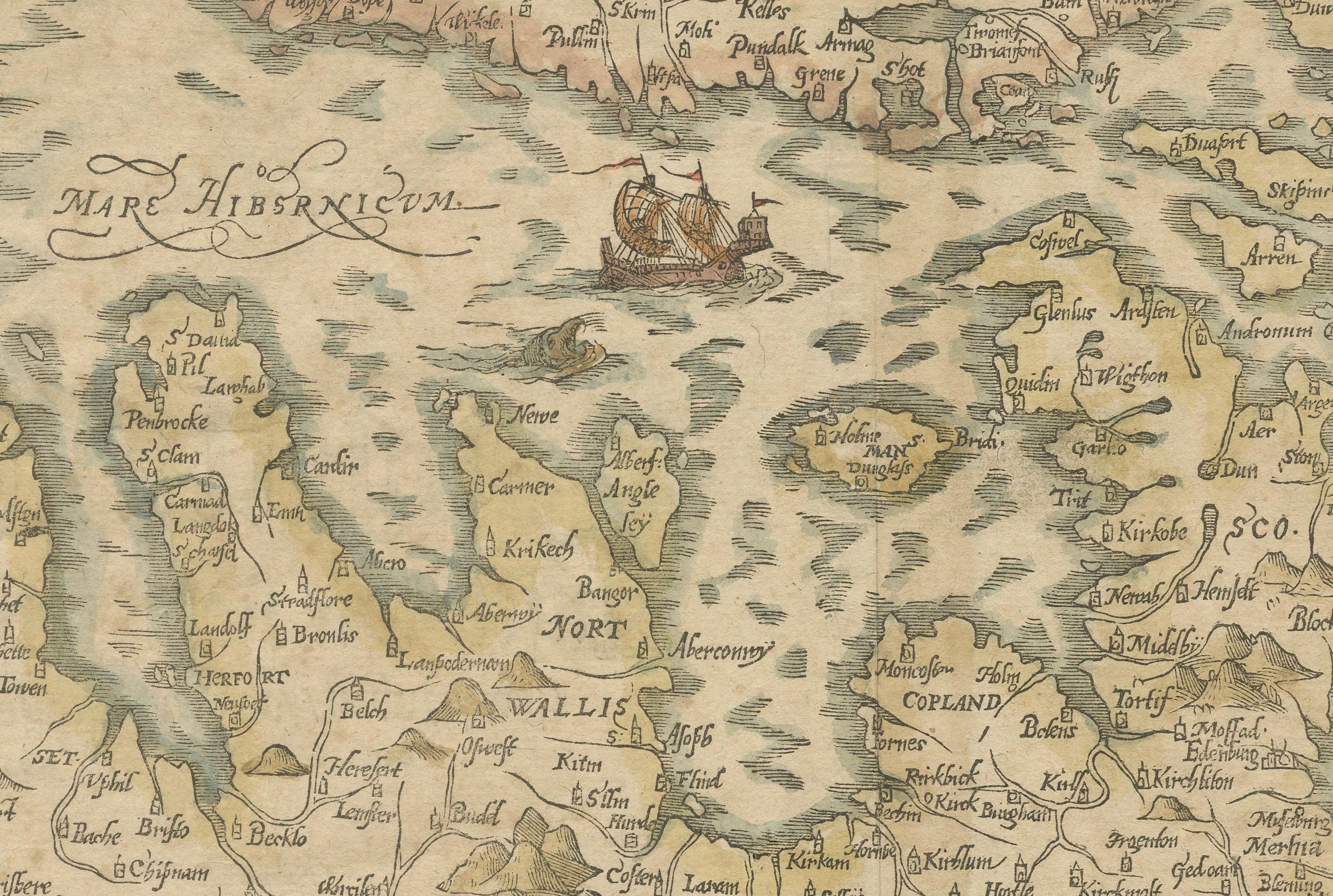
GREAT BRITAIN -- "ENGELLANDT mit dem anstossenden Reich Schottlandt so vorzeiten Albion und Britannia haben geheissen". (Basel, c. 1590).
Partly handcolored woodcut double-page map from S. Munster's 'Cosmographey'. 330 x 408 mm. (Lower margin cut short (touching the line), tiny hole in upper margin, sl. foxed/browned, lower right corner a bit thumbed).
Sebastian Münster's 16th Century Map of the British Isles from 'Cosmographia Universalis'
This map is a historical representation of the British Isles, including England, Scotland, and parts of Ireland and France. The map is from a early German atlas by Munster.
Here are some specific details about the map:
1. **Title and Orientation**:
- The title, written in German at the top, translates to "England along with the adjoining Kingdom of Scotland, which was formerly called Albion and Britannia."
- The map has compass directions labeled as "OCCIDENS" (West), "MERIDIES" (South), "OR IENS" (East), and "SEPTEN" (North).
2. **Geographic Features**:
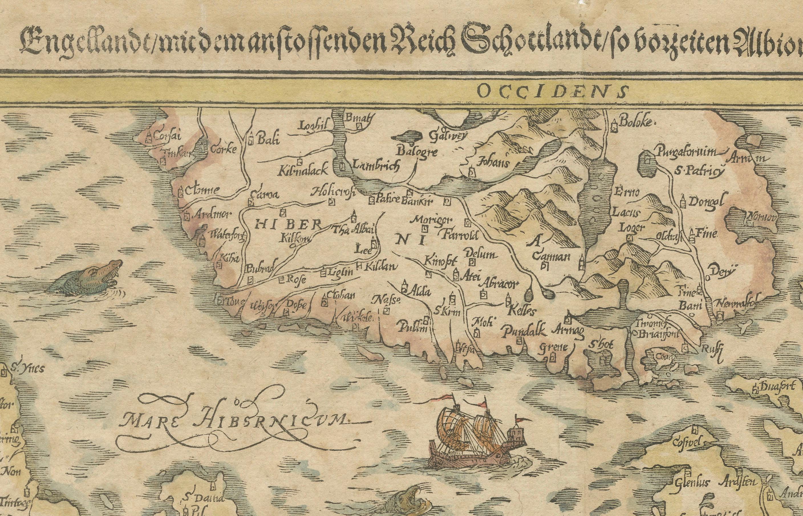
- The map displays the British Isles, including parts of England, Scotland, and Ireland, as well as parts of France.
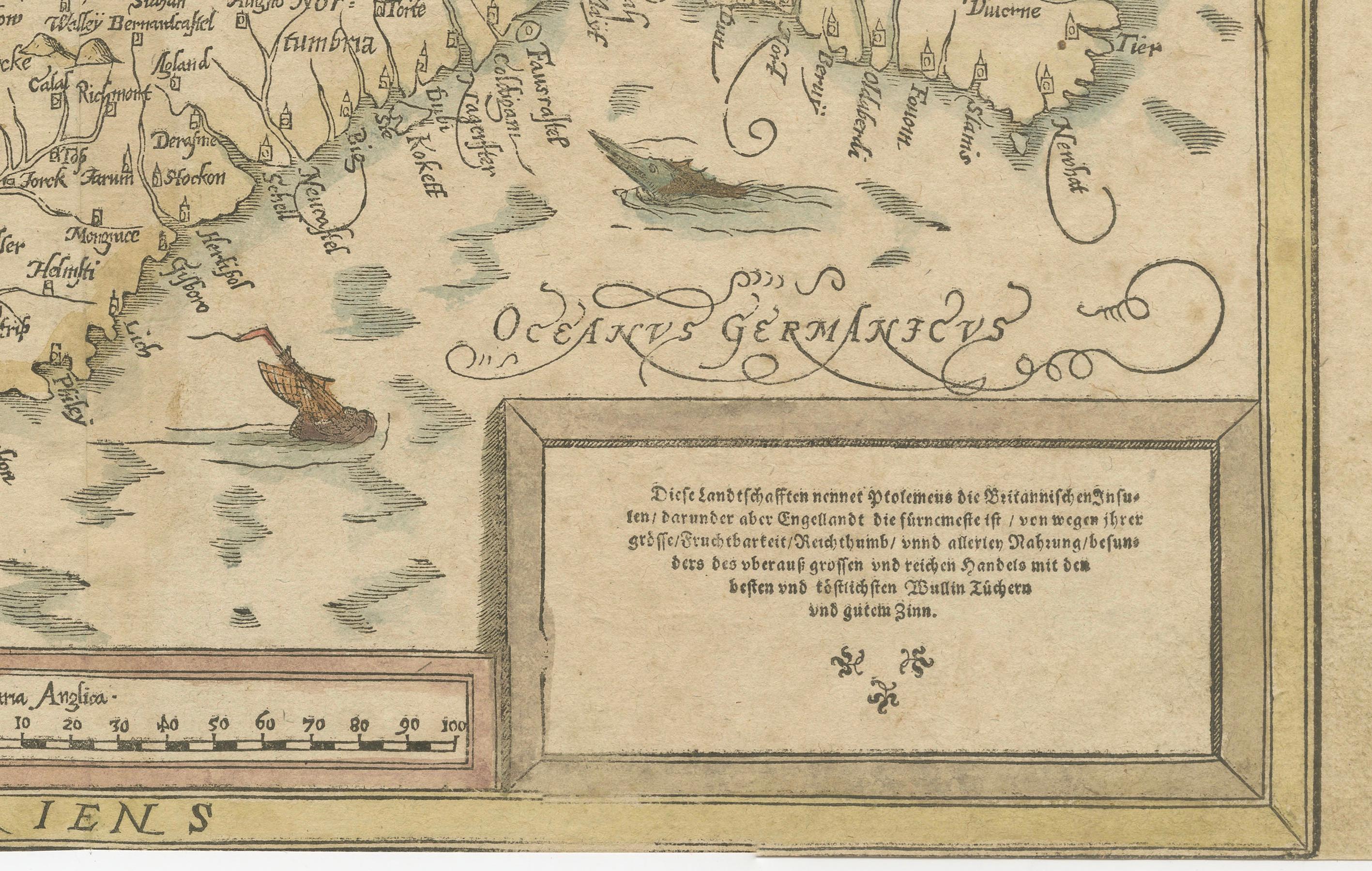
- Water bodies such as "Mare Hibernicum" (Irish Sea) and "Oceanus Germanicus" (German Ocean, now the North Sea) are labeled.
- Coastal features, cities, and towns are detailed, with many historical names that might differ from modern ones.
3. **Decorative Elements**:
- The map includes several artistic details such as sea monsters, ships, and ornate cartouches.
- A decorative compass rose can be seen, aiding in navigation.
4. **Regions and Cities**:
- Various regions and cities are labeled with their German names or Latinized forms, such as "Anglia" (England), "Scotia" (Scotland), and "Hibernia" (Ireland).
- Prominent cities like London ("Londin"), Edinburgh, and Dublin are marked.
5. **Scale and Insets**:
- The map includes a mileage scale in the bottom right corner, labeled "Milien Anglia" (English Miles).
- There is a descriptive text box in German in the bottom right corner, which provides additional context or information about the map's creation and purpose.
Overall, this map serves as an informative and decorative representation of the British Isles as understood in the German-speaking world during the time of its creation.
This map is part of a historical atlas created by the German cartographer Sebastian Münster. Here are the specific details:
1. **Maker**: Sebastian Münster
2. **Publisher**: The map was published by Sebastian Münster himself. He was known for his significant contributions to cartography and geography.
3. **Work**: The map is from Münster's famous work, "Cosmographia," which is one of the most popular and influential books of the 16th century. The full title is "Cosmographia Universalis."
4. **Publication Date**: The first edition of "Cosmographia" was published in 1544, and it underwent numerous editions. The map here offered would likely be from one of the editions published between 1544 and the late 16th century.
Sebastian Münster's "Cosmographia" was a comprehensive description of the world and included numerous maps and illustrations, making it a significant resource for geographical knowledge during the Renaissance period.