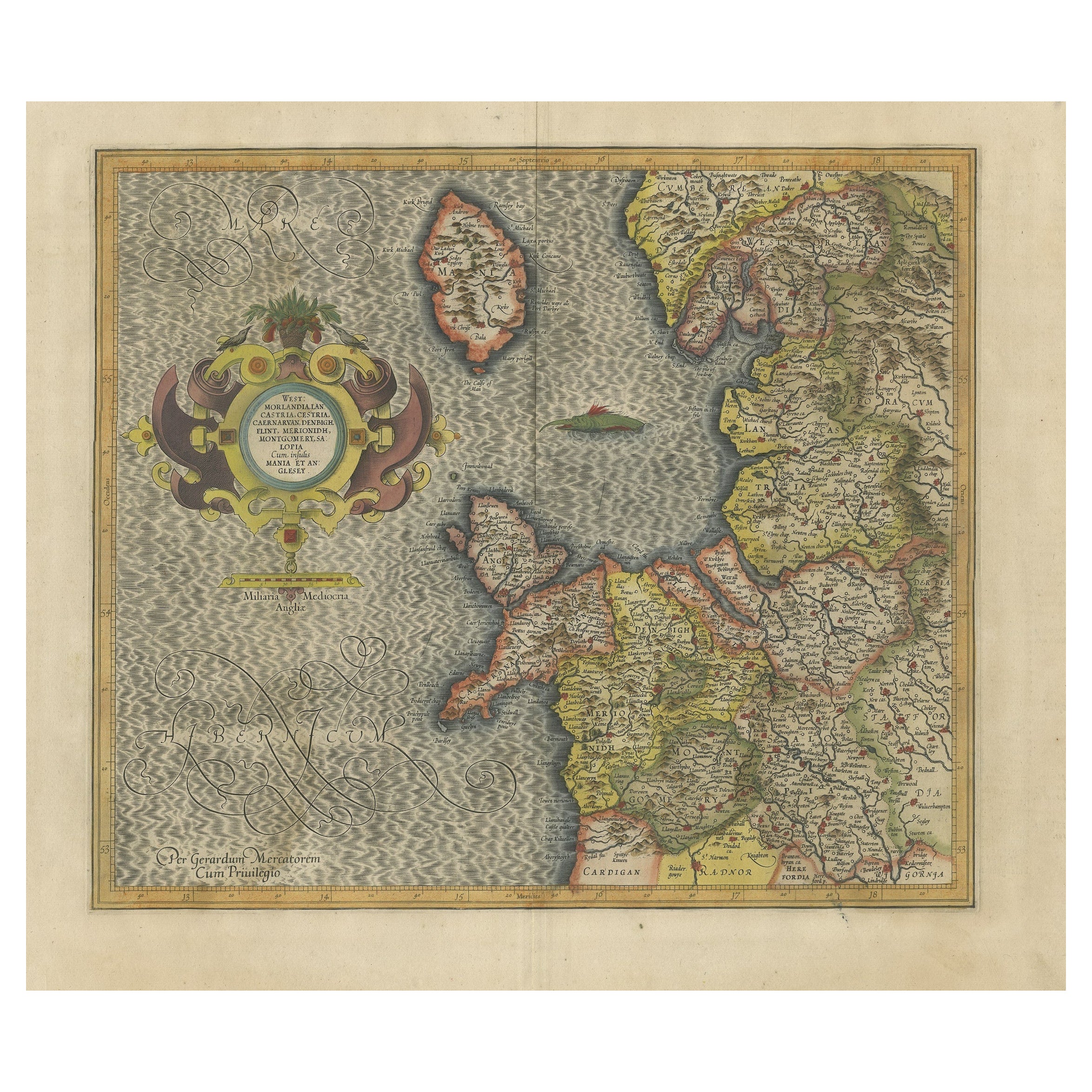
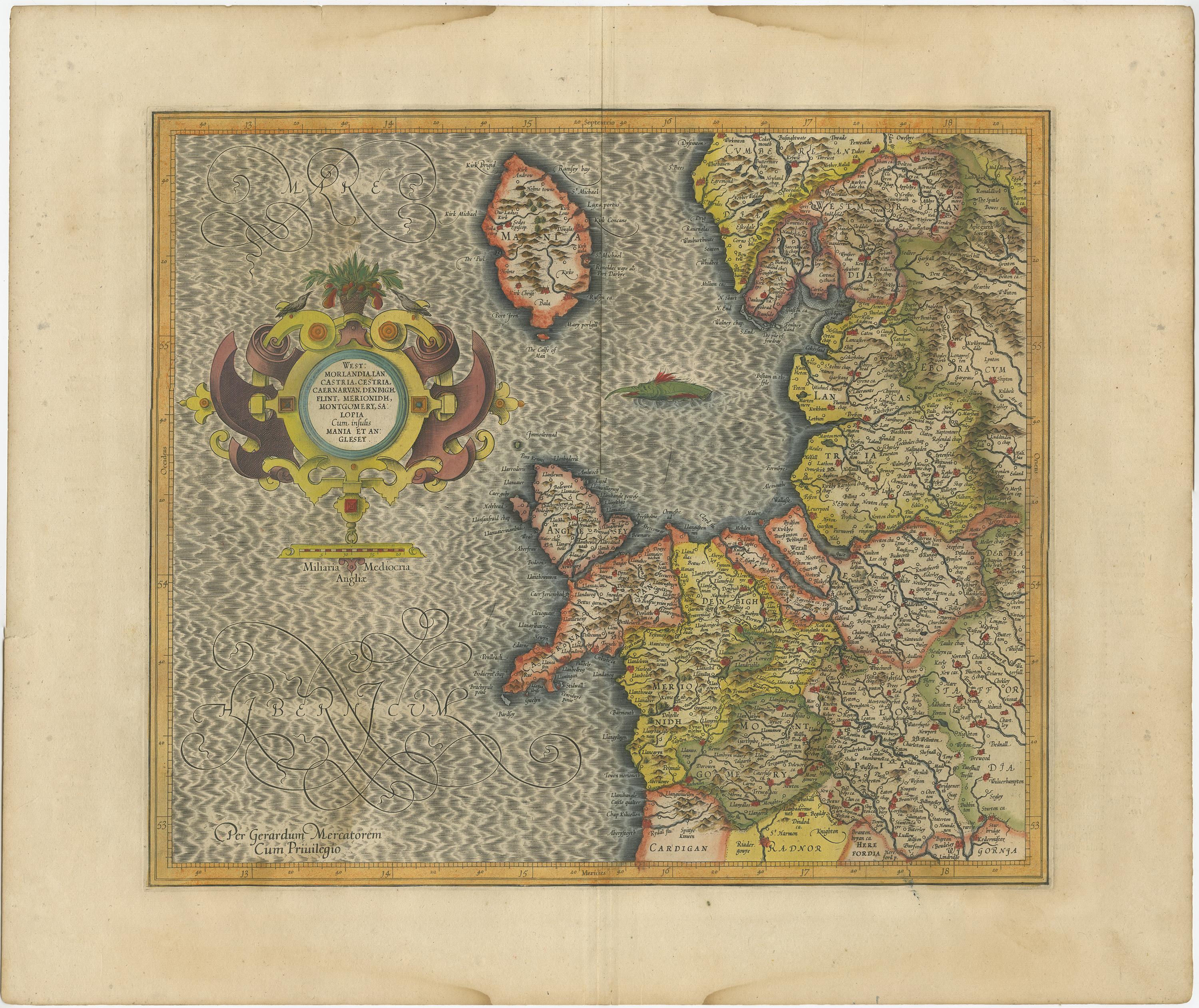
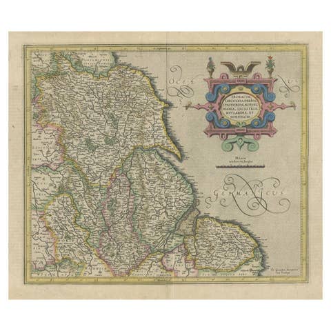
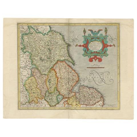
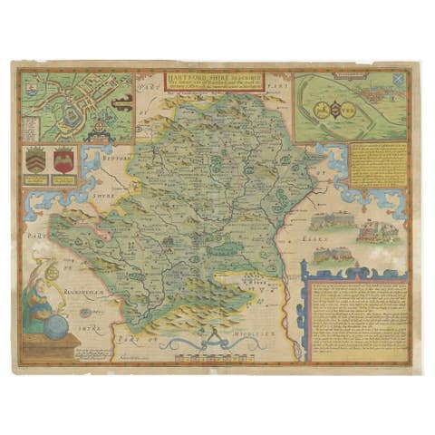
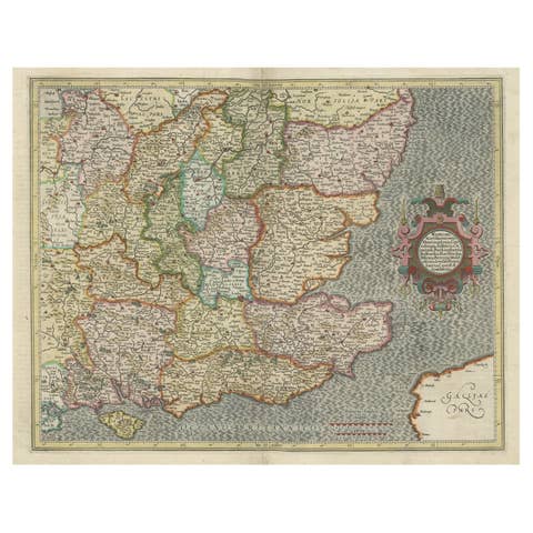
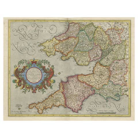
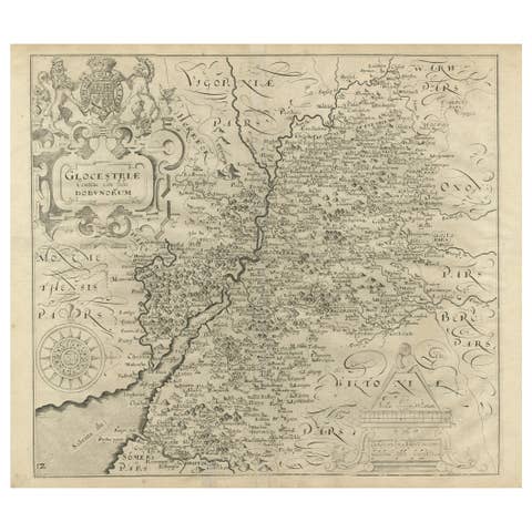
Antique Map of England by Mercator/Hondius, circa 1600
€ 950
One of a kind: this is the sheet in the photographs. Ships from Langweer, the Netherlands.
Date
1600
Sheet size
46 × 55 cm (18.1 × 21.7 in)
Condition
Good
Reference
BG-13071
Condition
General age-related toning. Original folding line. Please study images carefully.
About this sheet
Antique map titled 'Westmorlandia, Lancastria, Caernvan, Denbigh, Flint, Merionidh, Dalopia cum issulis Mania et Anglesey'. Original antique map of England. Decorative regional map of Northwestern England, the Isle of Man, Anglesey and part of Wales. From Mercator's Atlas Sive Cosmographia.
Published by Mercator/Hondius, circa '1600'
Mercator’s most important contribution was the creation and popularization of a projection which now bears his name. On Mercator projection maps, all parallels and meridians are drawn at right angles to each other, with the distance between the parallels extending towards the poles. This allowed for accurate latitude and longitude calculation and also allowed navigational routes to be drawn using straight lines, a huge advantage for sailors as this allowed them to plot courses without constant recourse to adjusting compass readings.