About this sheet
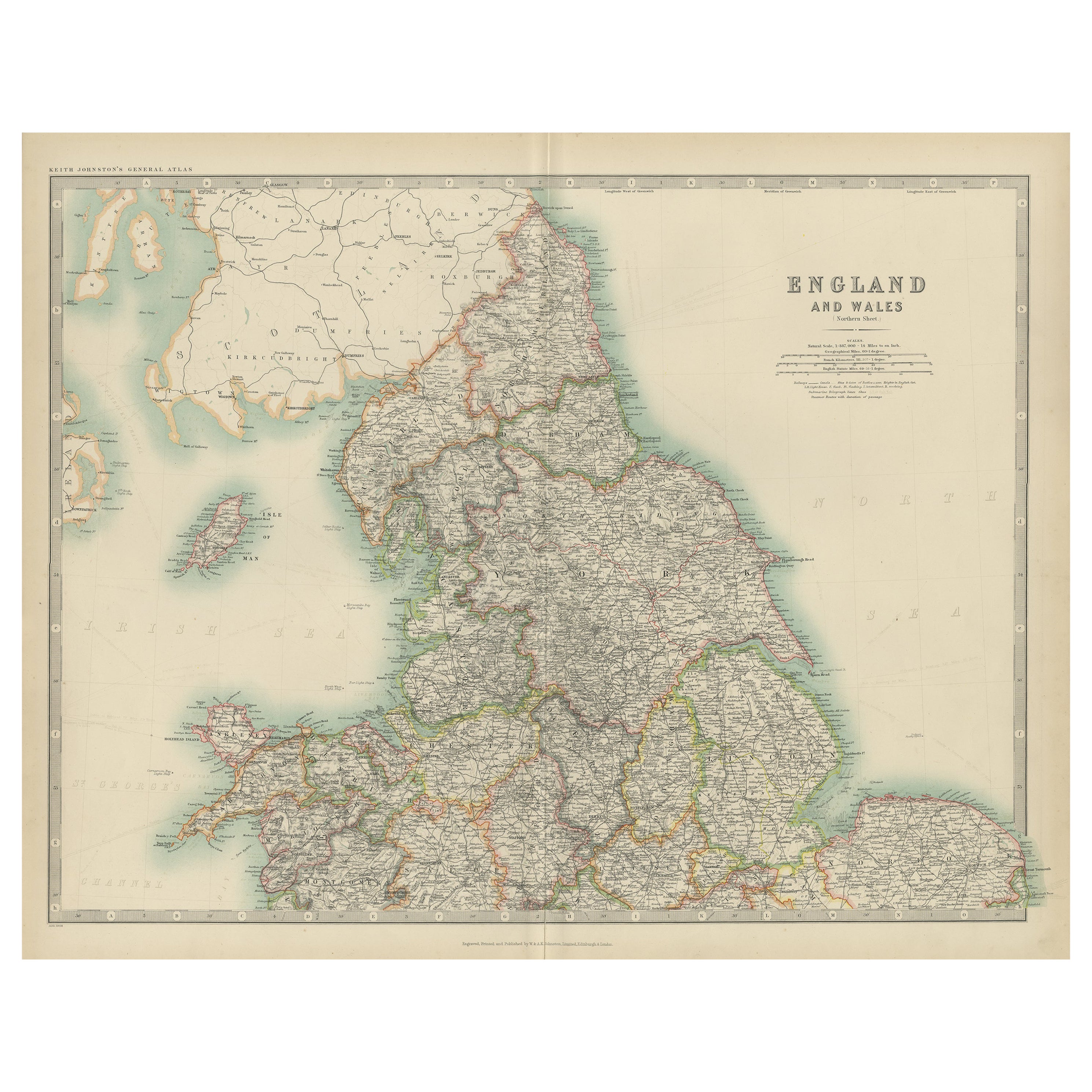
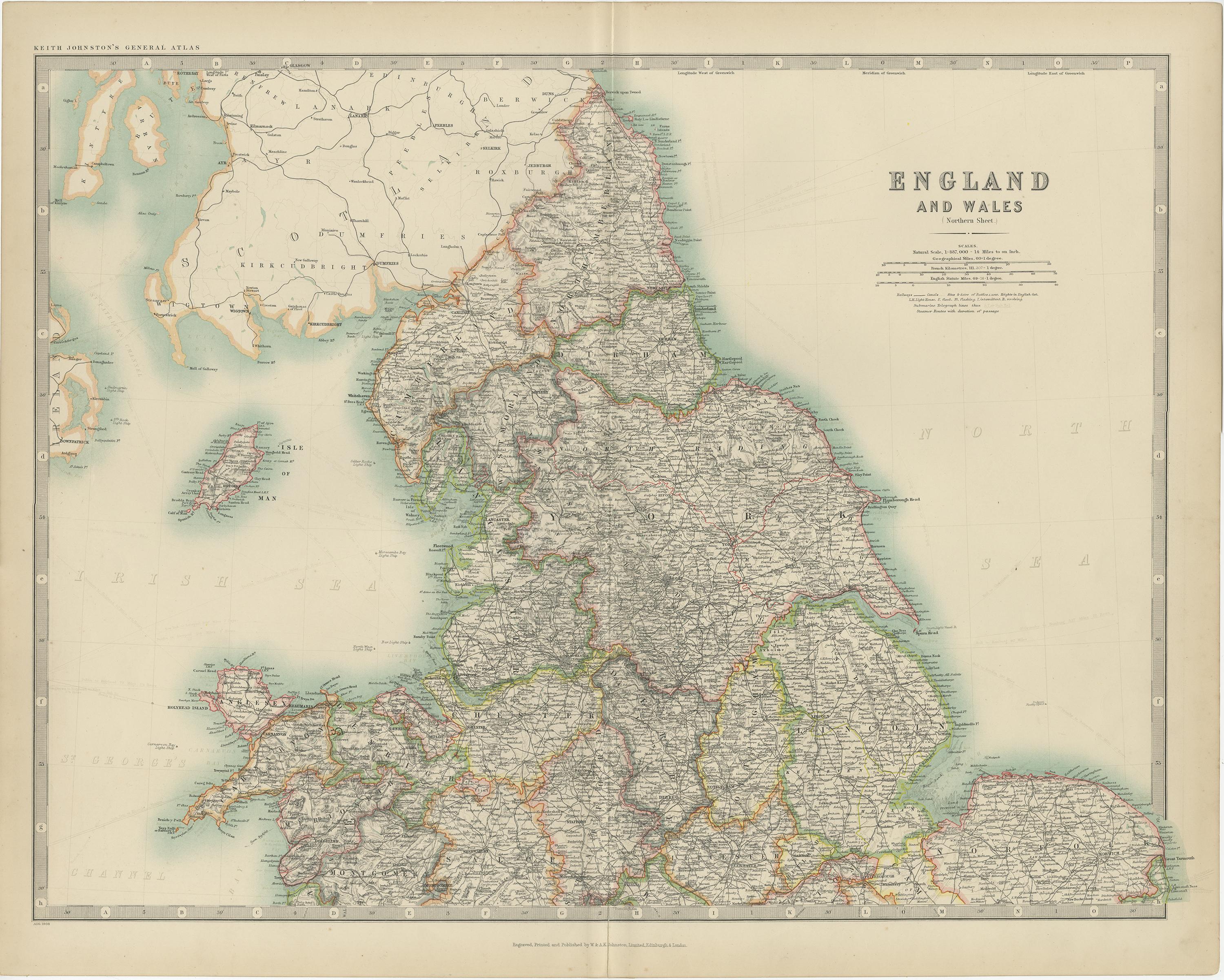
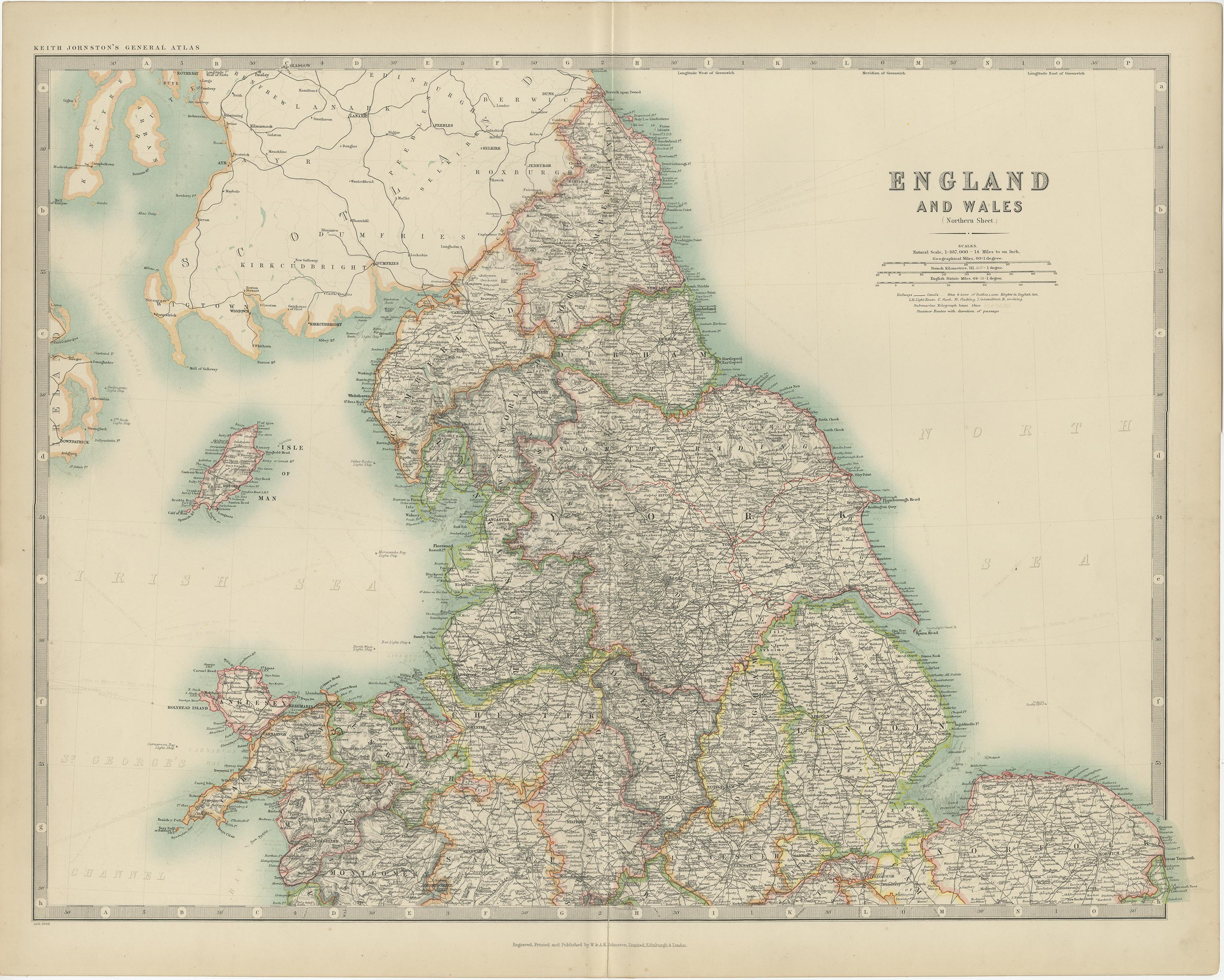
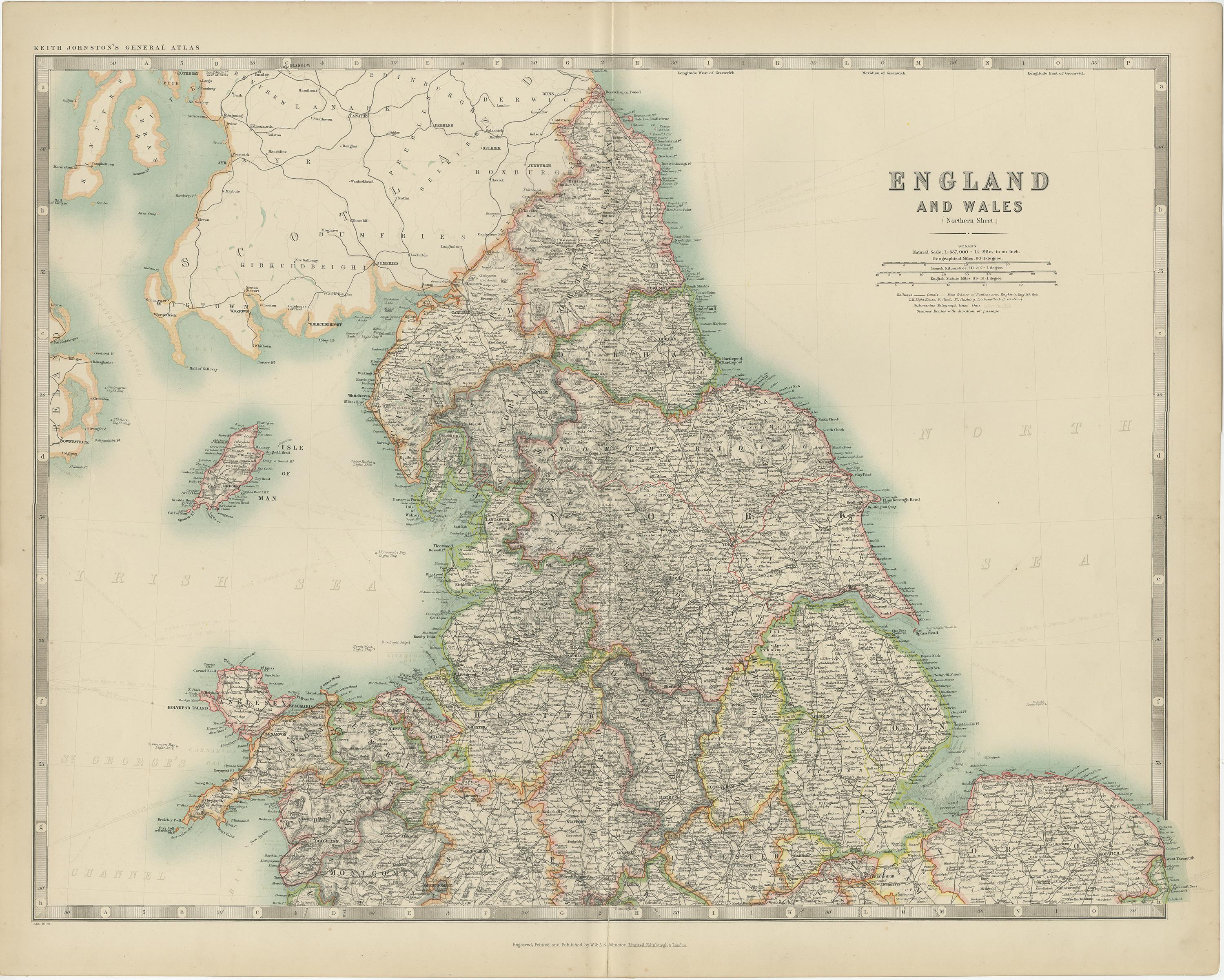
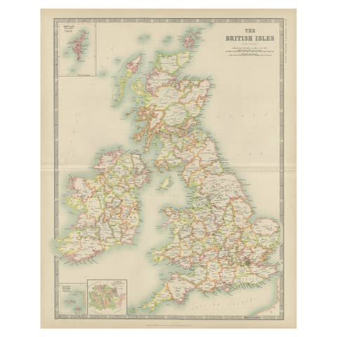
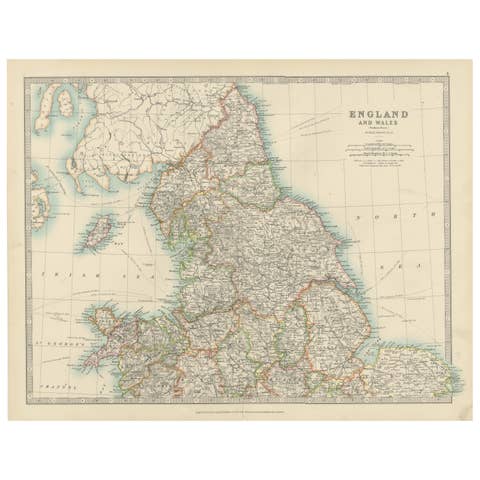
The antique map titled 'England and Wales' is a historical cartographic representation of these two nations. This original antique map of England and Wales is sourced from the 'Royal Atlas of Modern Geography,' which was published by W. & A.K. Johnston in the year 1909.
**Key Aspects of the Map:**
1. **Geographical Coverage**: The map provides a comprehensive view of the geography and topography of England and Wales, two distinct countries within the United Kingdom. It includes details of cities, towns, rivers, mountains, and coastlines.
2. **Historical Context**: Published in 1909, this map reflects the political and geographical landscape of England and Wales during the early 20th century. It is a valuable reference for understanding the boundaries and administrative divisions of the time.
3. **Publisher**: The 'Royal Atlas of Modern Geography' by W. & A.K. Johnston was known for its accuracy and detail. Maps from this atlas are esteemed for their cartographic quality.
4. **Educational Value**: Antique maps like this one are valuable educational tools, offering historical insights into the geography, cartography, and political divisions of the era.
5. **Cartographic Style**: The map's cartographic style adheres to the standards of mapmaking in the early 20th century, with a focus on precision and clarity. It likely includes a legend to help interpret the map's symbols and features.
6. **Administrative Boundaries**: The map may depict county boundaries, administrative regions, and major transportation routes, providing a comprehensive view of the political and logistical structure of England and Wales.
7. **Historical Place Names**: Antique maps often feature historical place names, shedding light on the nomenclature and historical significance of various locations.
8. **Geographical Features**: Details such as mountain ranges, rivers, lakes, and coastal features are likely included, offering a comprehensive view of the natural landmarks of the region.
Overall, the 'England and Wales' antique map is a valuable historical document, providing insights into the geographical and political characteristics of these two nations within the United Kingdom during the early 20th century. It serves as a valuable resource for historians, geographers, and those interested in the history and geography of England and Wales.