


United Kingdom & Ireland · 17th century
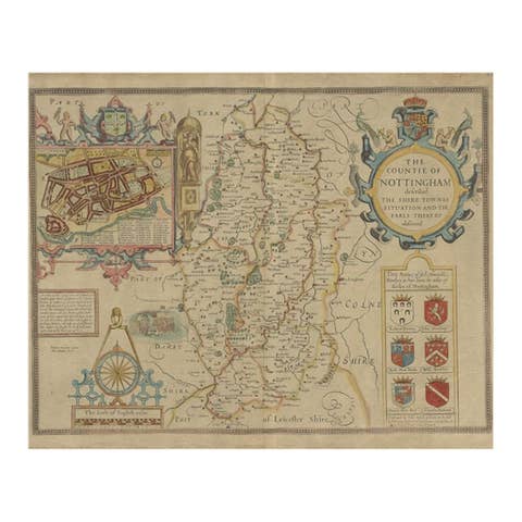
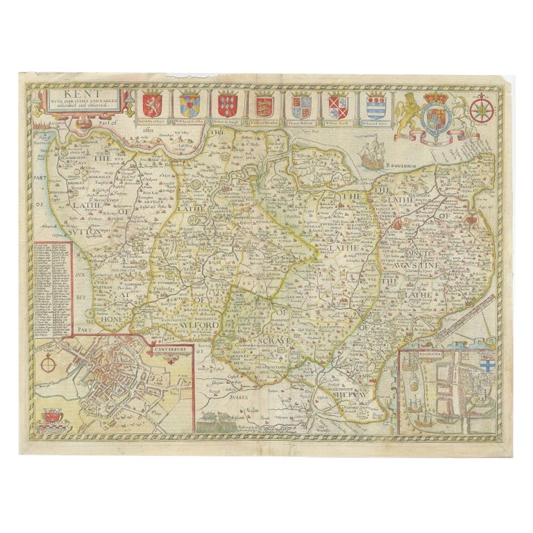
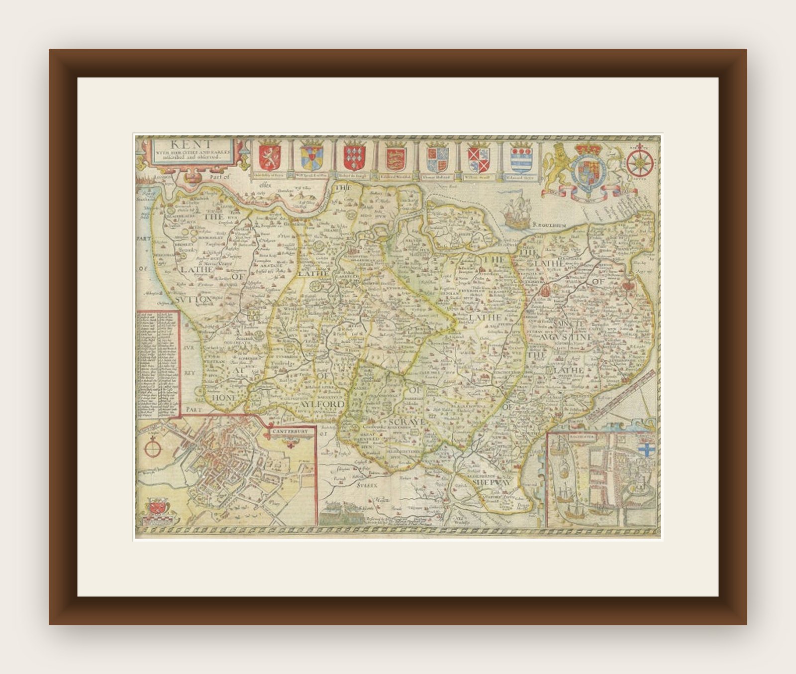
Antique Map of Kent with Inset Plans of Rochester & Canterbury, England, 1676
€ 700
Original antique · The actual sheet photographed · Certificate of authenticity on request · Sold unframed · Worldwide shipping from € 15 (rates)
- Date
- 1676
- Mapmaker / artist
- John Speed (1551 or 1552 ? 28 July 1629) was an English cartographer and historian. He is, alongside Christopher Saxton, one of the best known English mapmakers
- Sheet size
- 52 × 40 cm (20.5 × 15.7 in)
- Condition
- Fair
- Reference
- BG-12705-9
What the condition grades mean
- Excellent
- Bright and clean, with no faults worth mentioning.
- Very good
- Only light signs of age, such as faint toning.
- Good
- Normal signs of age for a sheet of this period: toning, some foxing, small marks or neat old repairs.
- Fair
- Clear faults such as staining, tears or repairs, priced to match.
Every fault we see is written in the condition note, and the whole sheet is shown uncropped in the photos.
Condition
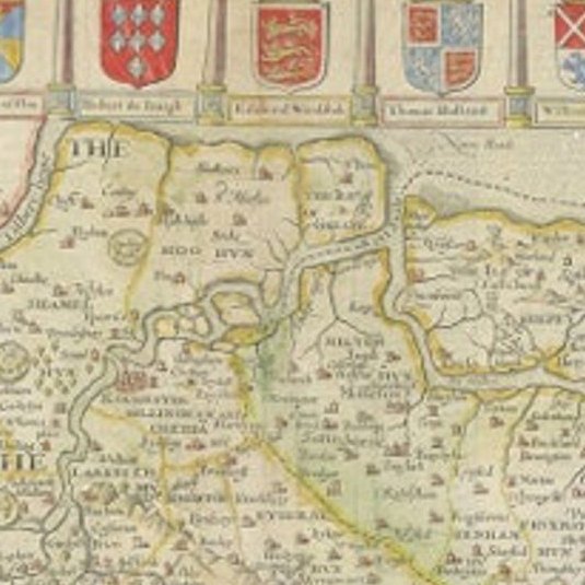
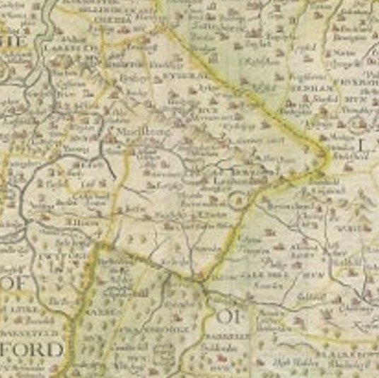
General age-related toning. Repair on folding line. Few small defects and holes, also affecting image. Minor wear and soiling, English text on verso. Please review the images for further condition details.