About this sheet
Ancient Sicily Map — Siciliae Antiquae Tabula, Roman Cities & Aeolian Isles, 1810
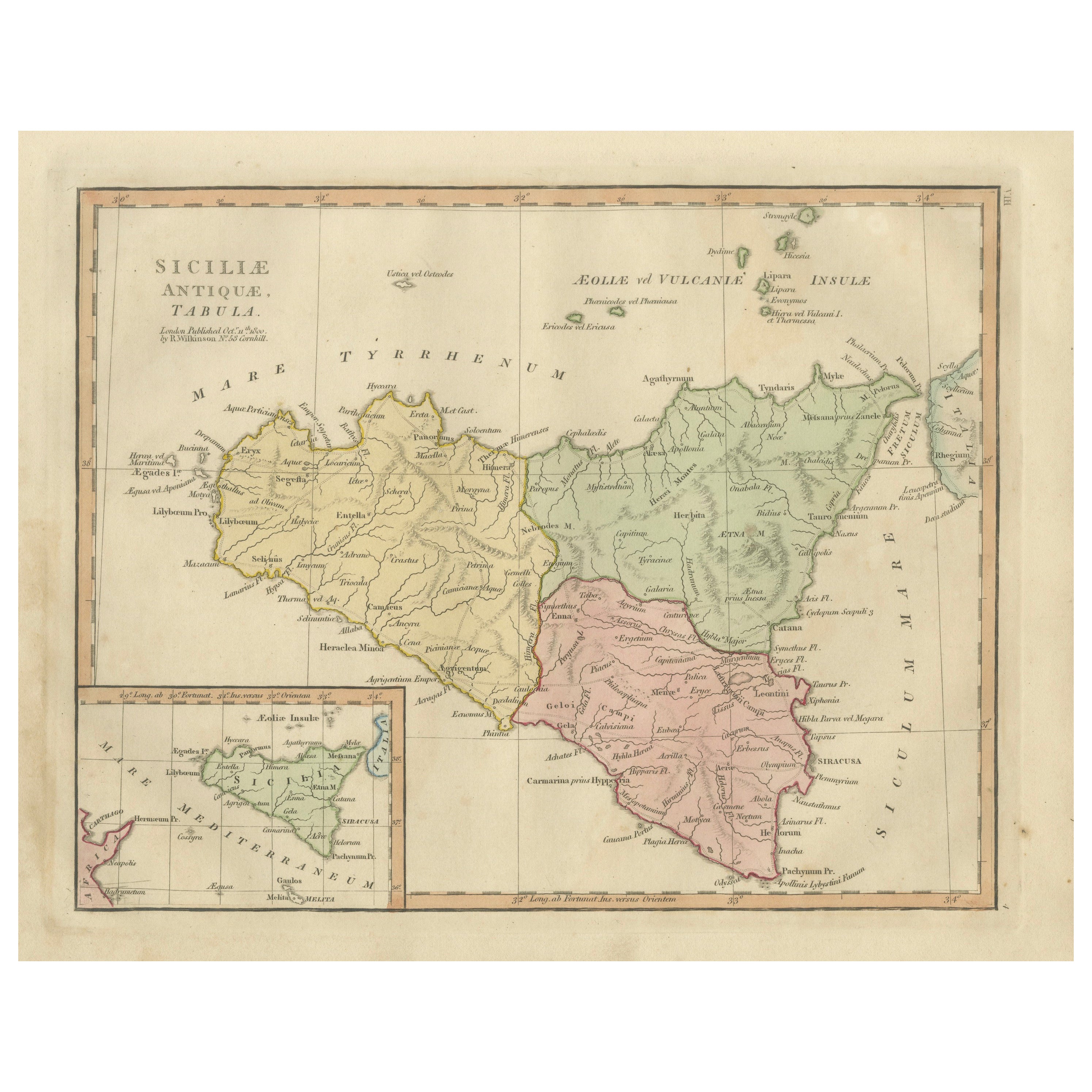
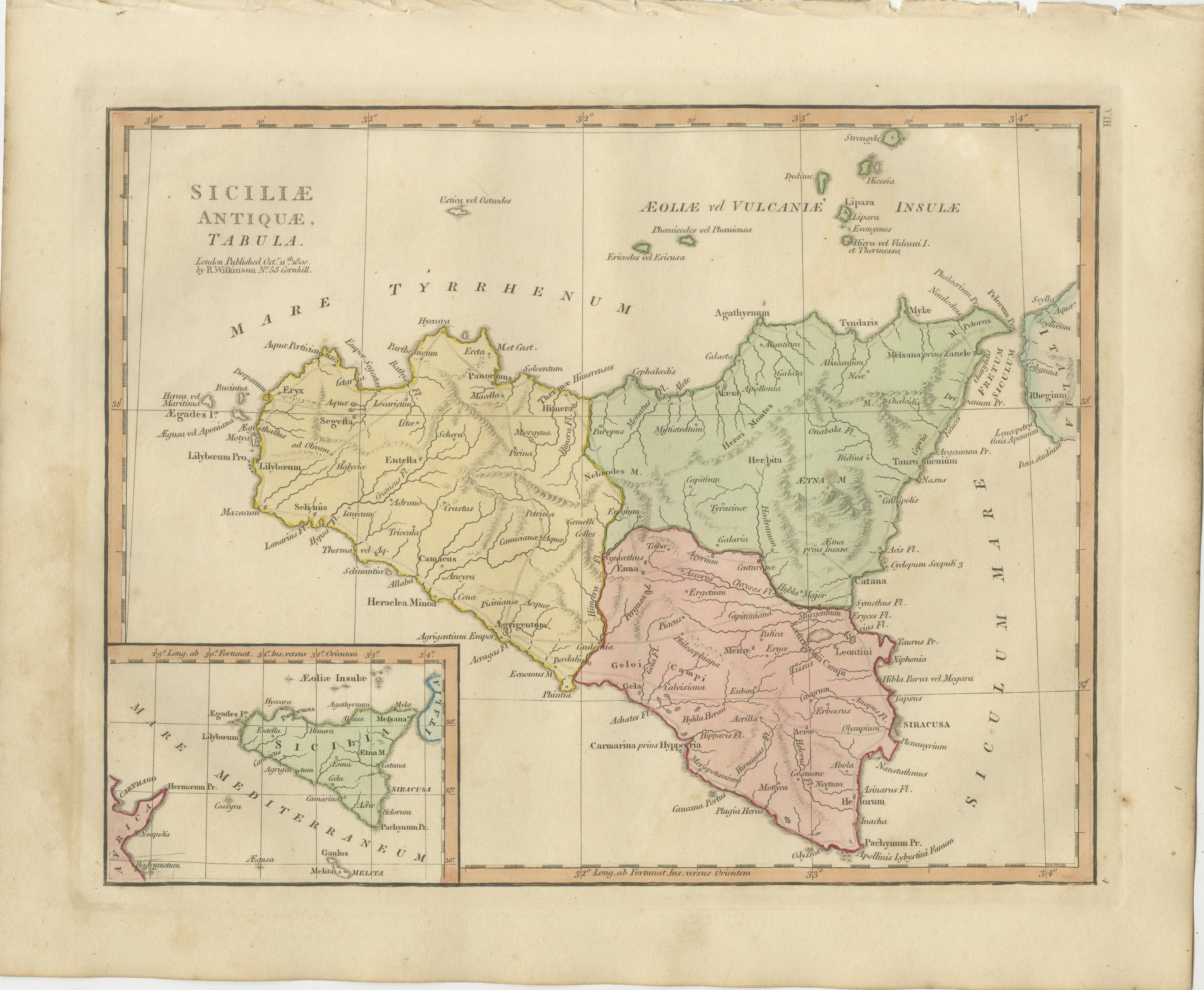
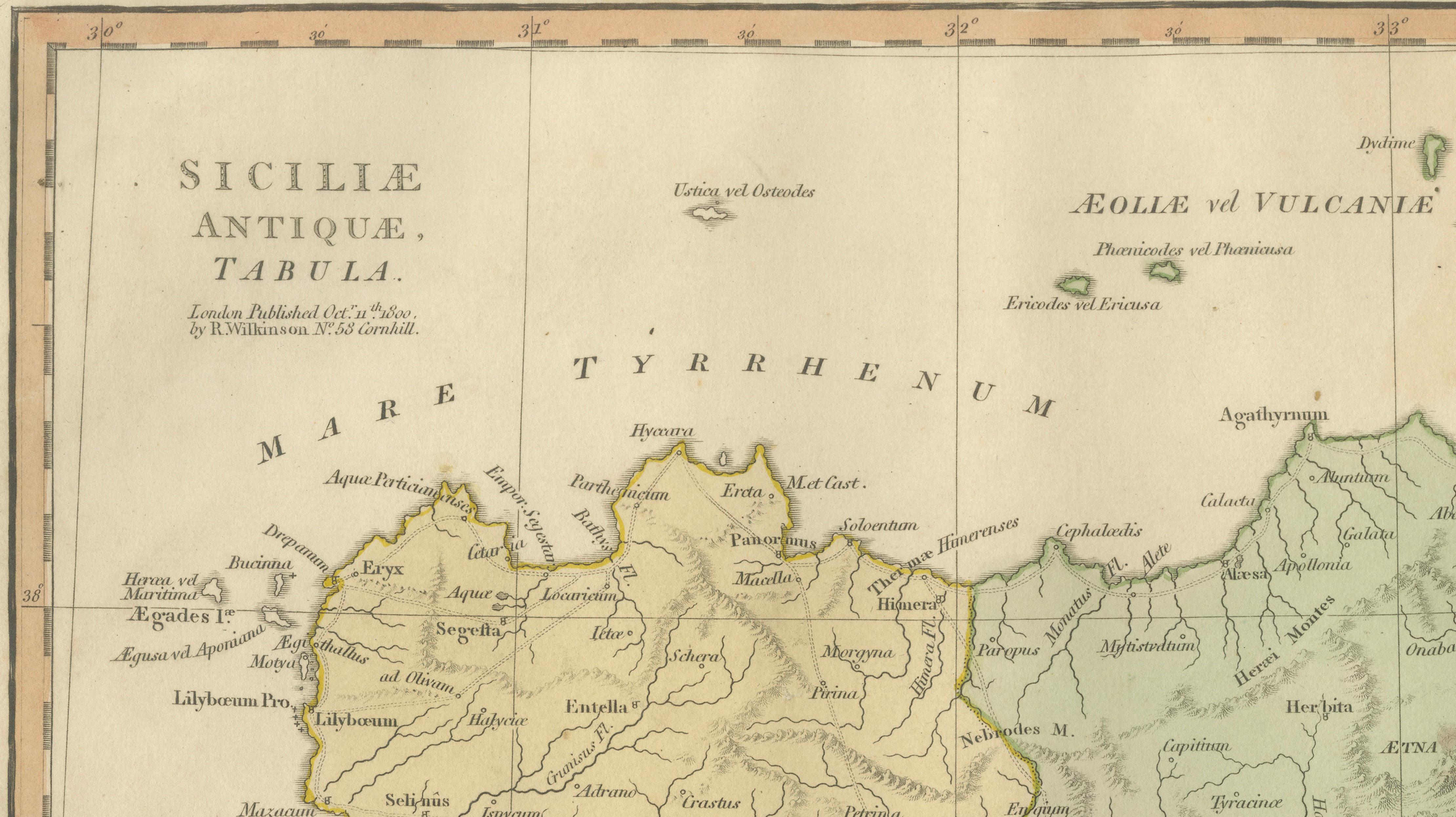
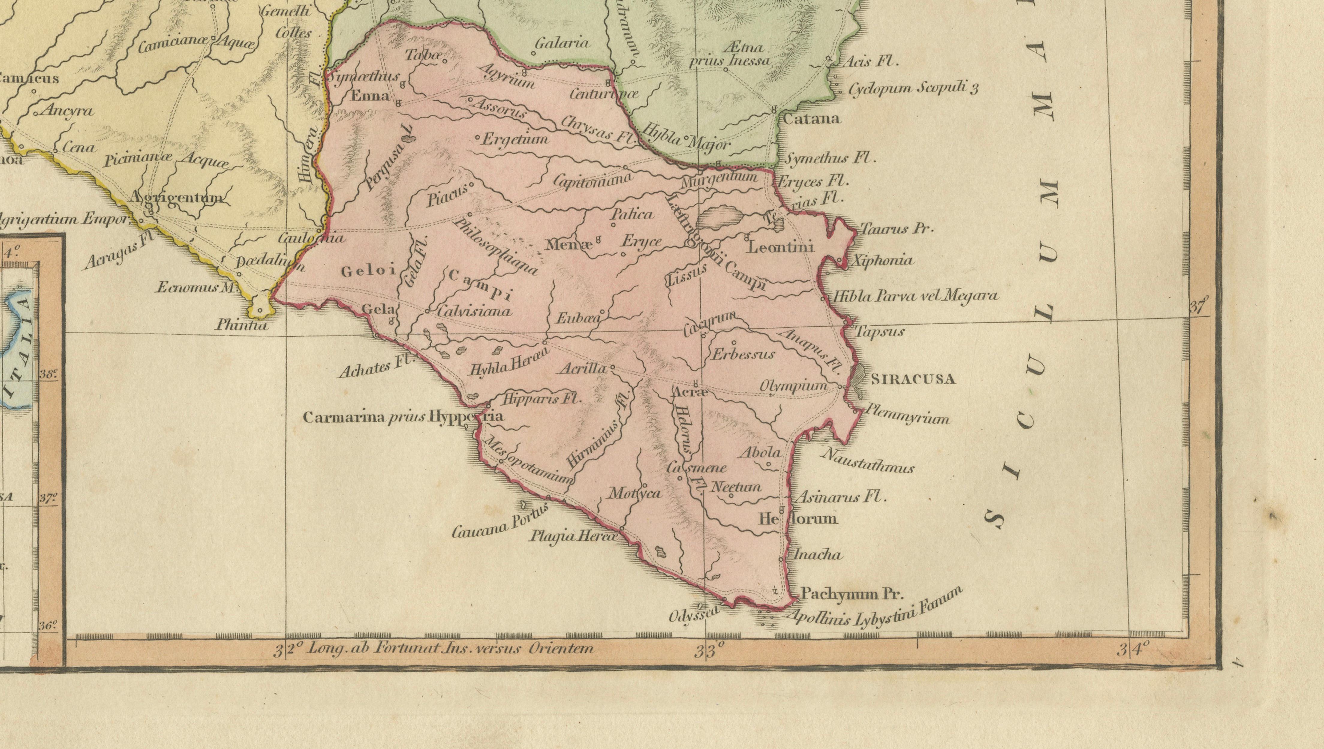
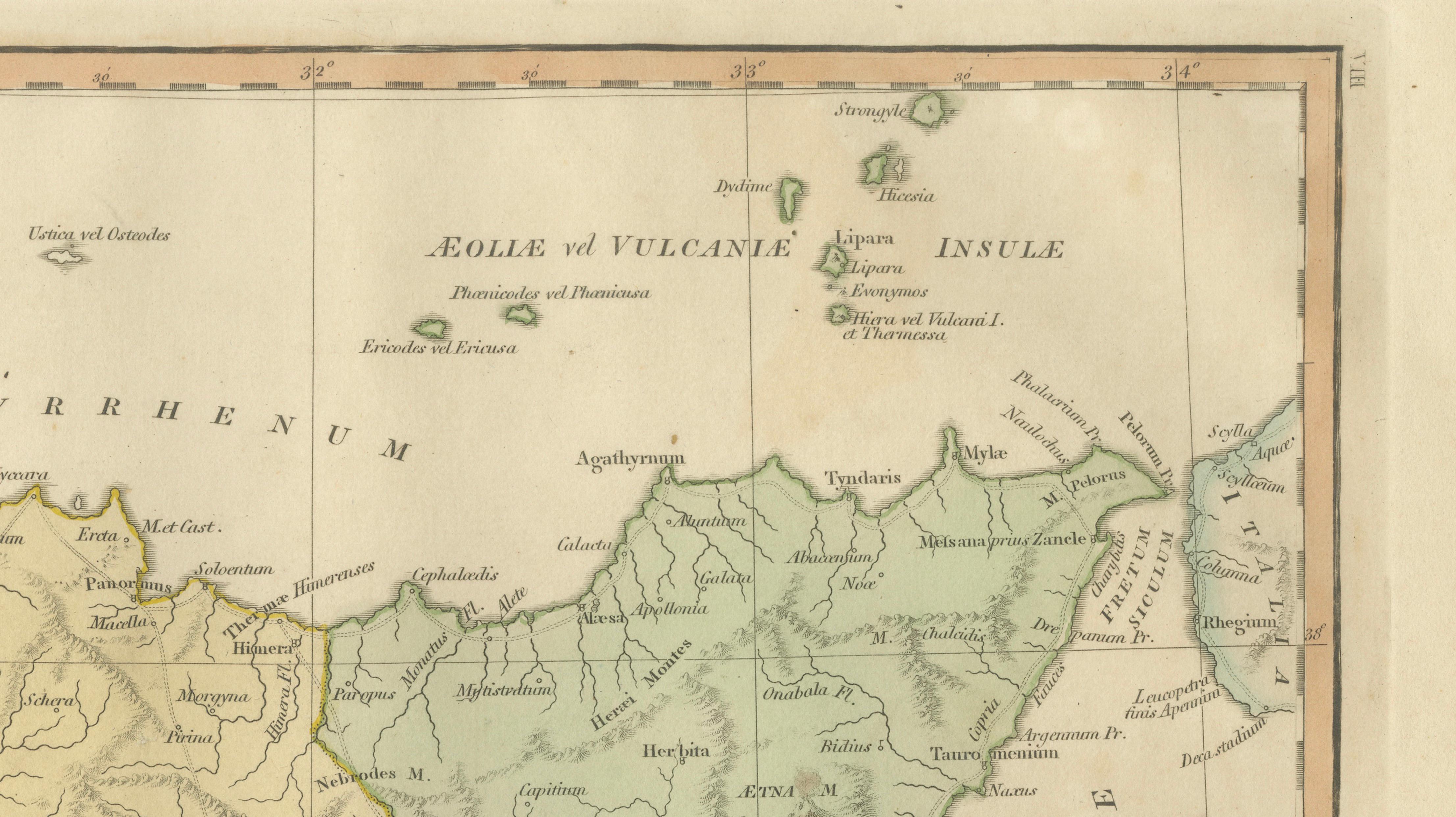
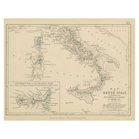
A refined hand-colored classical map titled *Siciliae Antiquae Tabula*, published in London by Robert Wilkinson in 1827, depicting the island of Sicily according to ancient Roman geography. This elegant engraving forms part of a series illustrating the classical world through historical sources, combining scholarly accuracy with decorative appeal.
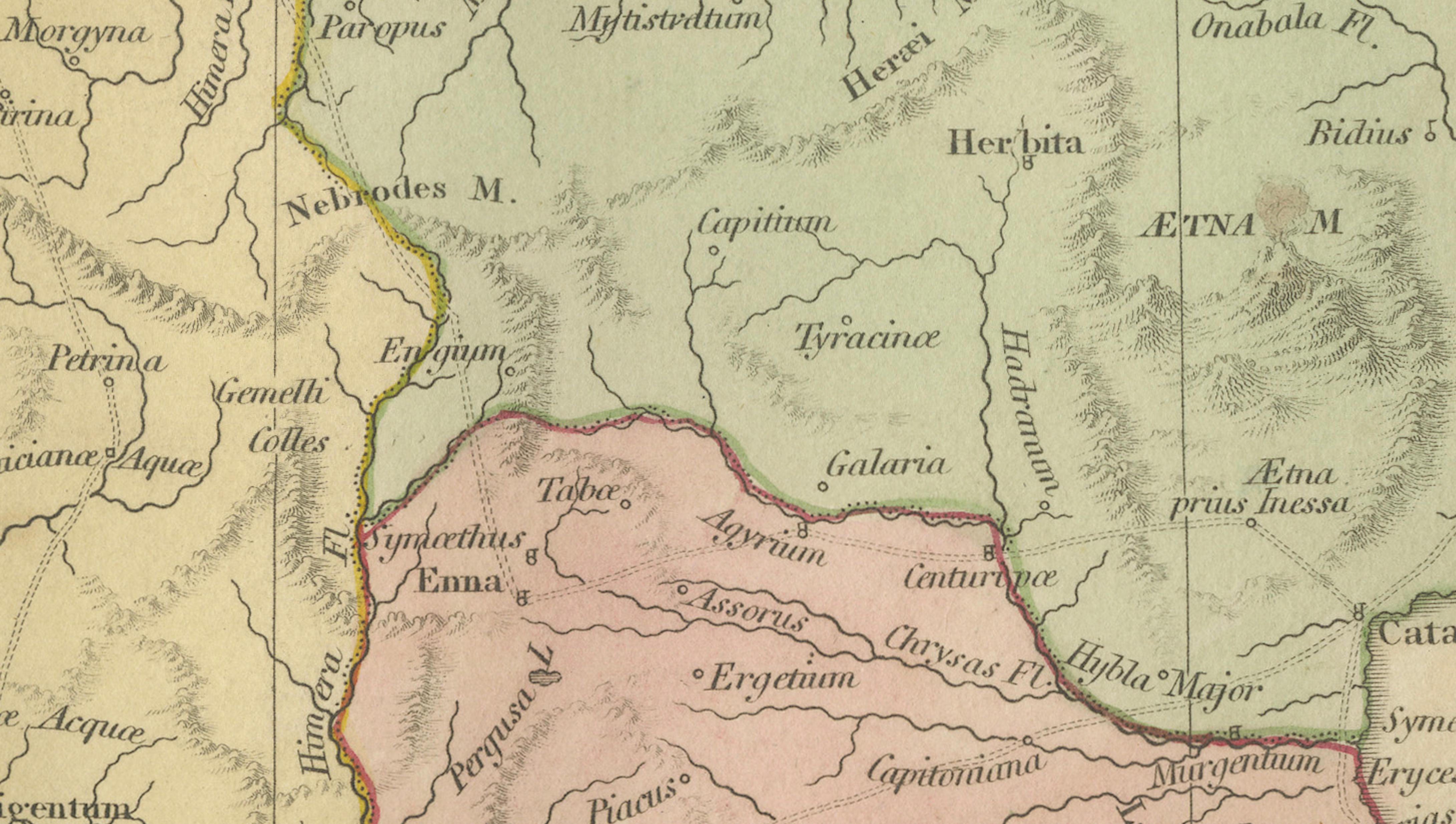
The map presents Sicily divided into historic regions, highlighted in soft pastel tones that emphasize ancient territorial distinctions. Important classical cities and settlements appear throughout the island, including Syracusa (Syracuse), Agrigentum (Agrigento), Panormus (Palermo), Catana (Catania), Messana (Messina), and Lilybaeum (Marsala). The engraving reflects the importance of Sicily as a strategic and cultural crossroads within the Mediterranean world, central to Greek colonization, Carthaginian expansion, and later Roman administration.
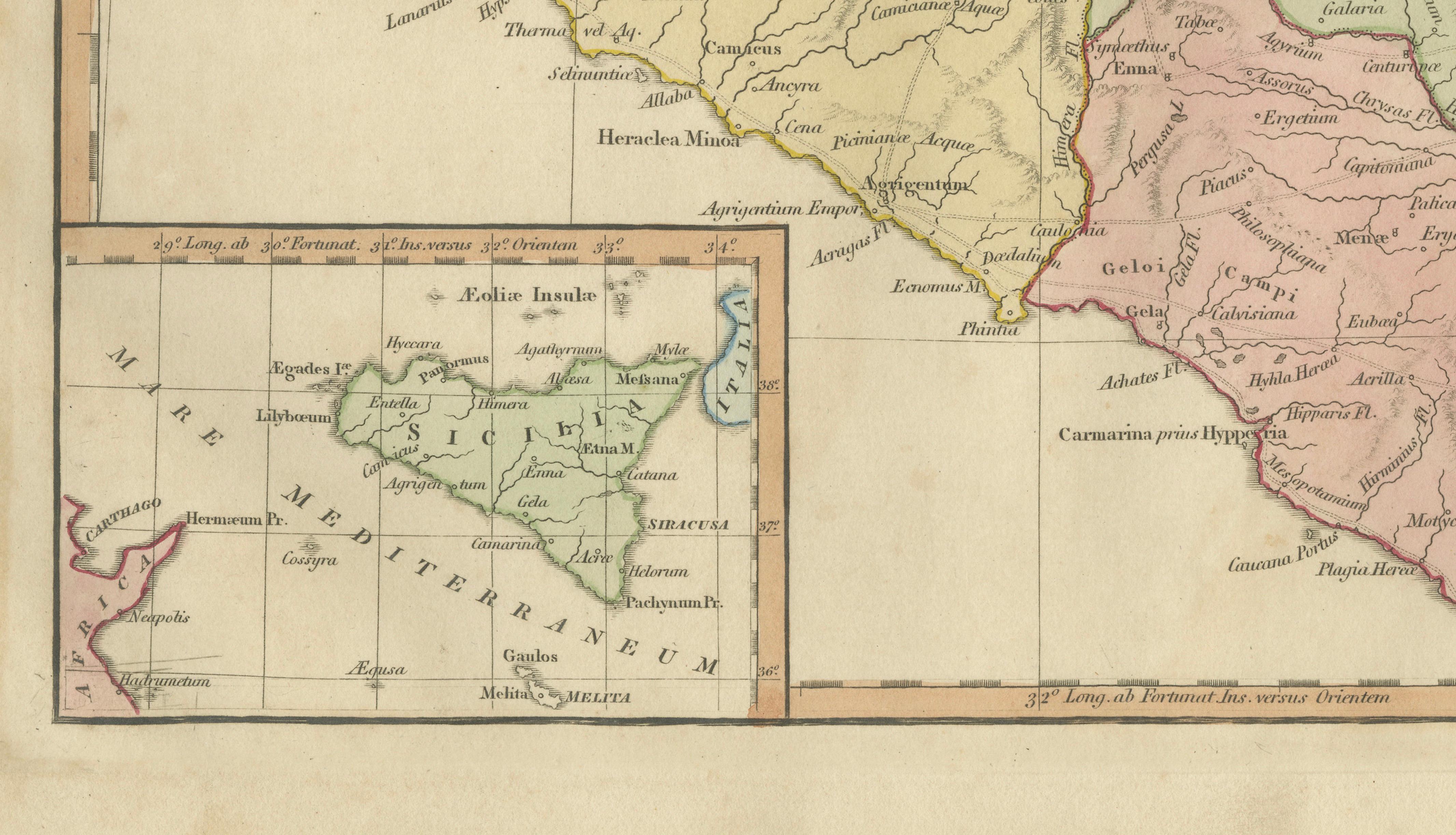
A notable feature is the inclusion of surrounding islands, particularly the Aeolian or Vulcaniae Insulae (Aeolian Islands), as well as a small inset map providing additional geographic context. The volcano Aetna (Mount Etna) is clearly marked, reinforcing the island’s dramatic geological identity and its significance in classical literature and mythology.
Wilkinson’s cartographic productions are recognized for their clear typography, balanced composition, and restrained hand coloring, making them highly attractive to collectors of classical maps and interior designers seeking historically inspired decorative works. The map’s harmonious pastel palette and fine engraved lines make it equally suited for study or display in refined interiors.
Condition: Good antique condition with age-related toning and light wear consistent with early nineteenth-century prints. Minor edge wear and faint discoloration at margins. Plate mark visible.
Framing tips: Display in a dark walnut or gilt frame with an ivory or warm off-white mat. A generous mat border enhances the delicate coloring and emphasizes the elegant engraved linework.
Keyword block:
Siciliae Antiquae Tabula, Sicily antique map, ancient Sicily map, Roman Sicily provinces, Syracusa Syracuse, Agrigentum Agrigento, Panormus Palermo, Catana Catania, Messana Messina, Lilybaeum Marsala, Mount Etna Aetna, Aeolian Islands Vulcaniae Insulae, Mediterranean antiquity, Roman geography Sicily, classical cartography, Magna Graecia, ancient Mediterranean map, Wilkinson London atlas, early nineteenth century engraving, classical historical map, Sicily classical antiquity, Roman Empire geography.
Technique: Hand-colored engraving
Maker: Robert Wilkinson, London, 1827