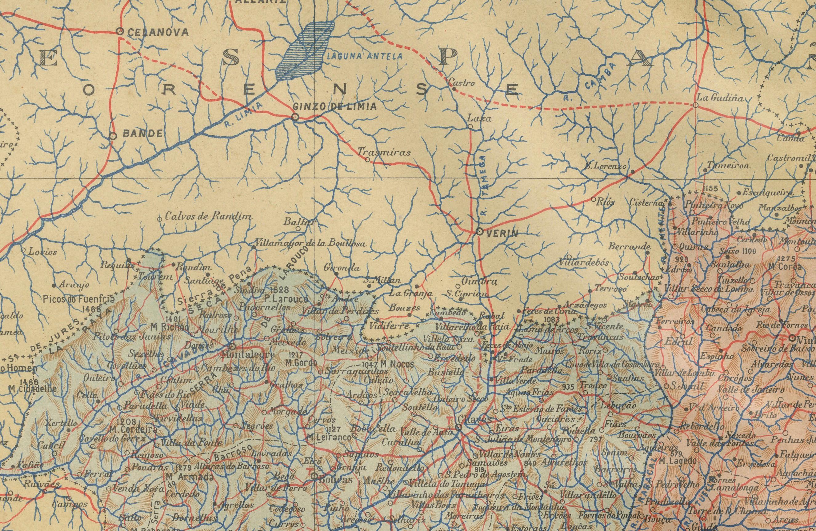
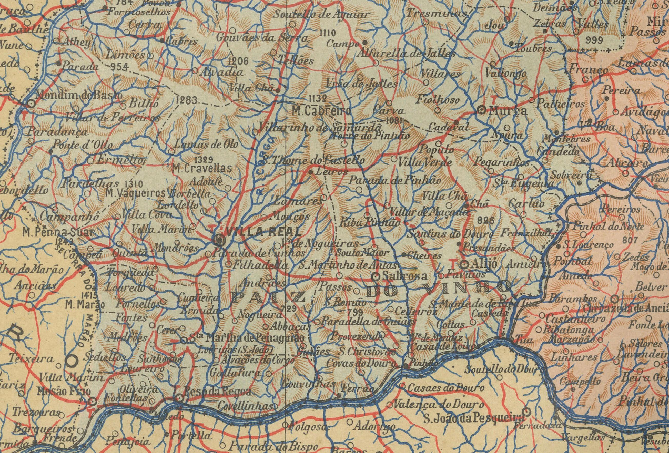
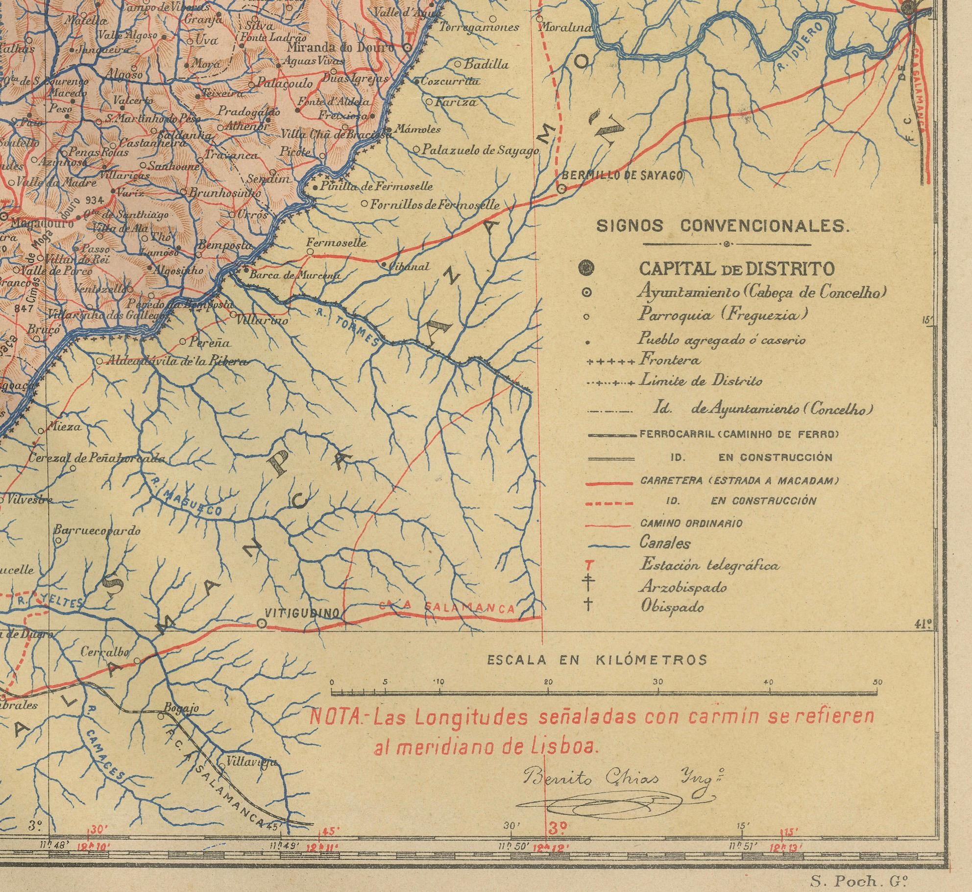
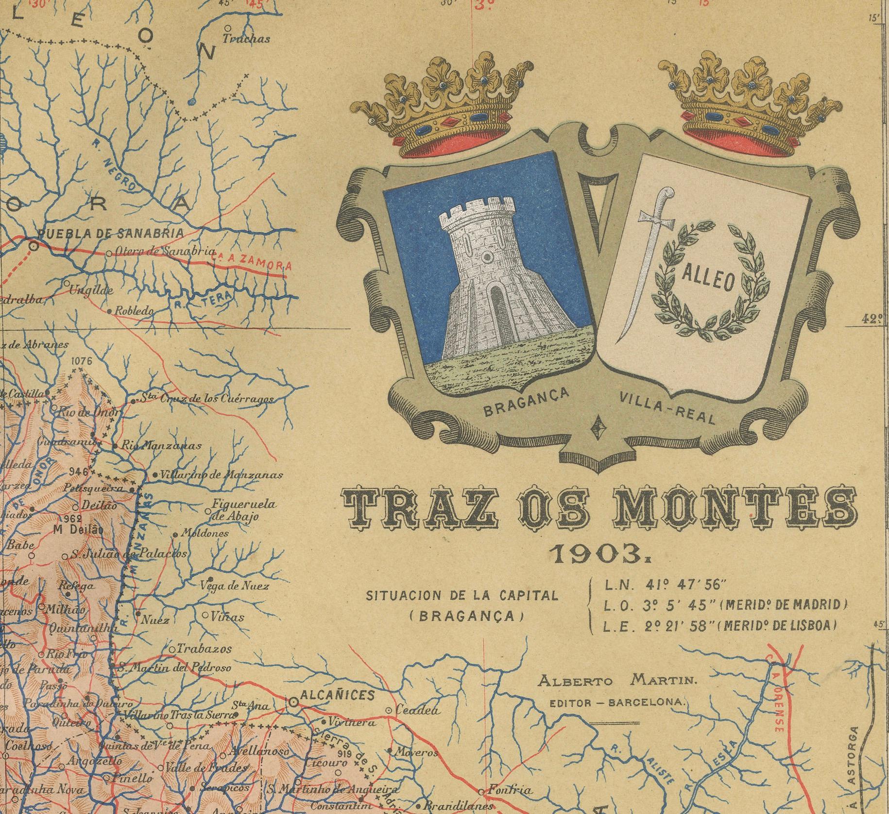
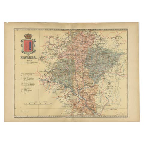
Trás-os-Montes: A Cartographic Exploration of Portugal's Hidden Province in 1903
€ 310
One of a kind: this is the sheet in the photographs. Ships from Langweer, the Netherlands.
Date
1903
Sheet size
51 × 37.5 cm (20.1 × 14.8 in)
Condition
Good
Reference
BG-13642-64
Condition
Good condition. Central vertical folding lines as issued. Aged paper with typically warm, yellowish-brown hue, especially around the edges and folding lines, adding to its patina. Check the images carefully.
About this sheet
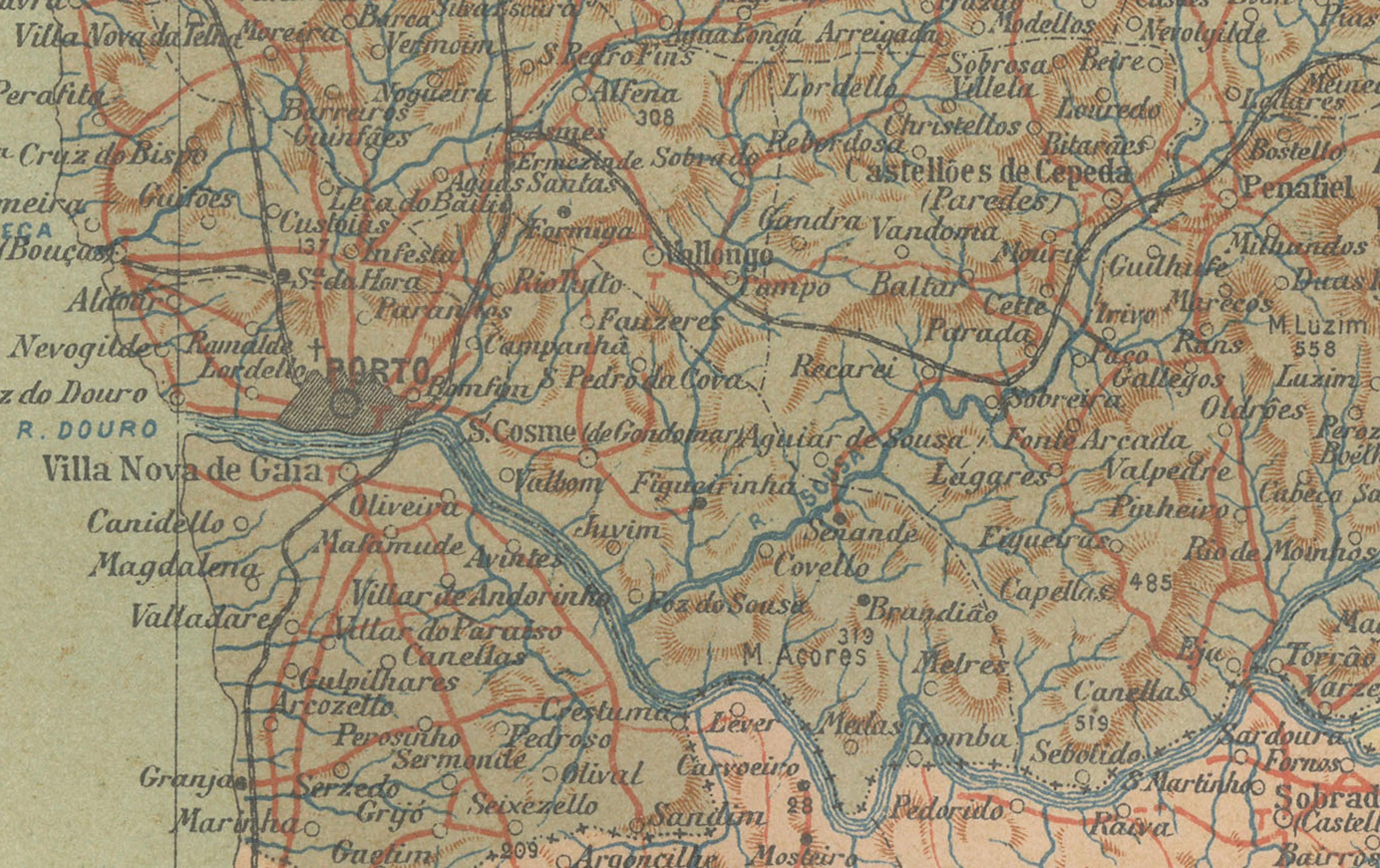
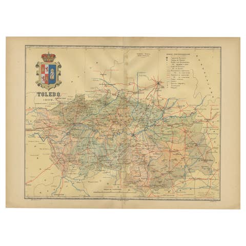
This print is an original historical map of the Trás-os-Montes region in the northeastern part of Portugal, dated 1903. Trás-os-Montes is often translated as "behind the mountains," reflecting its location relative to the rest of Portugal. This area is known for its rugged landscapes, including the mountainous terrain and the valleys of the Douro River and its tributaries.
Trás-os-Montes is special for a number of reasons:
1. Natural Beauty: The region is characterized by its natural beauty, with the Douro International Natural Park and Montesinho Natural Park being two of its highlights.
2. Heritage: It has a rich historical heritage, with ancient castles, Roman bridges, and Paleolithic engravings found in the Côa Valley Archaeological Park, which is a UNESCO World Heritage Site.
3. Isolation and Tradition: Trás-os-Montes is one of the most remote and least developed regions in Portugal, which has helped preserve many traditional ways of life.
4. Cuisine: The area is known for its distinctive cuisine, including smoked meats (like alheira and chouriço), hearty stews, and unique breads.
5. Agriculture: It is a region of agriculture, particularly known for its olive oil, almonds, and wine.