Maps & PrintsBartele Gallery · Langweer
Home / Antique Maps / Europe / Southern Europe

Southern Europe · 18th century

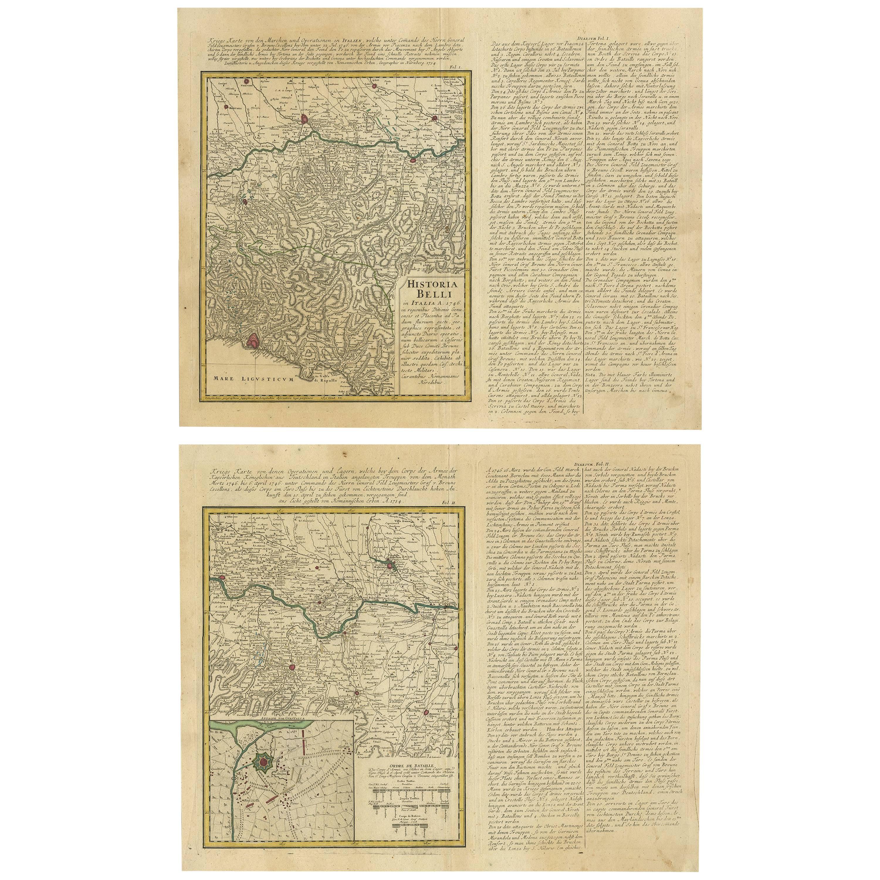
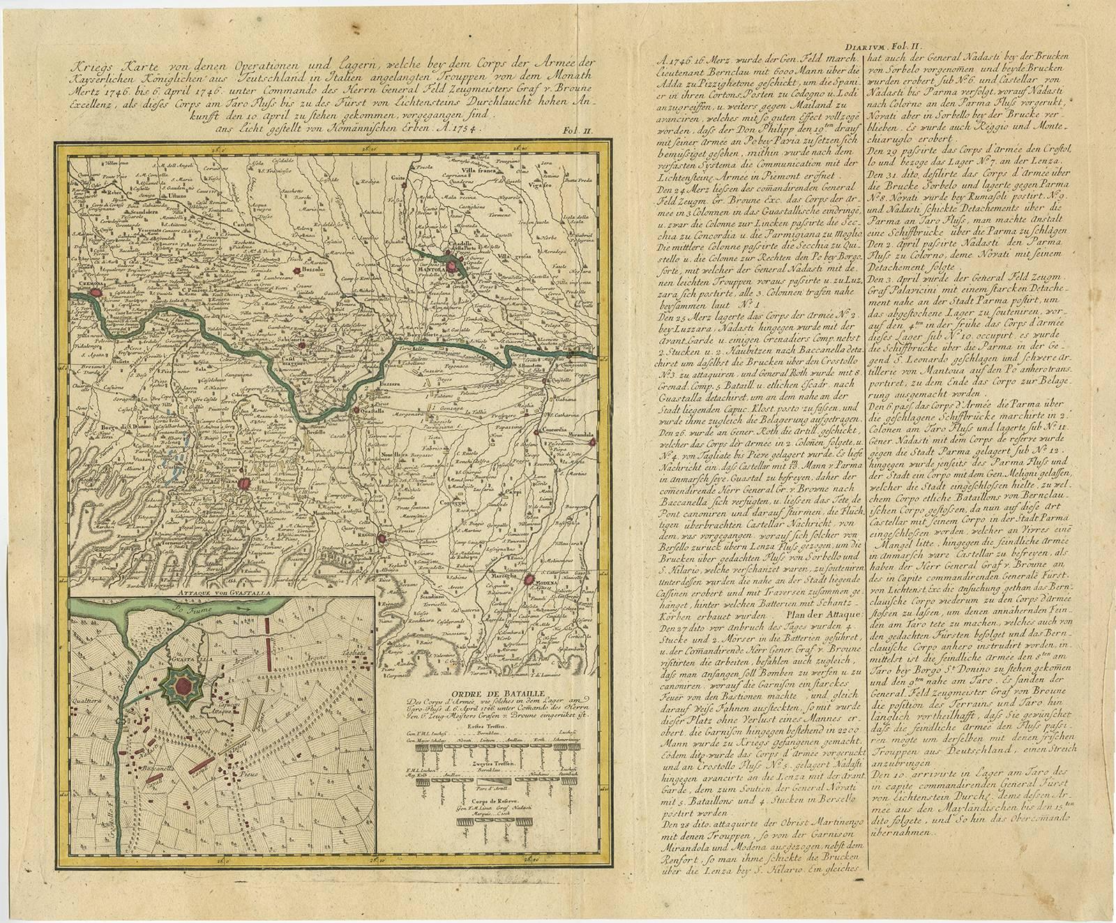
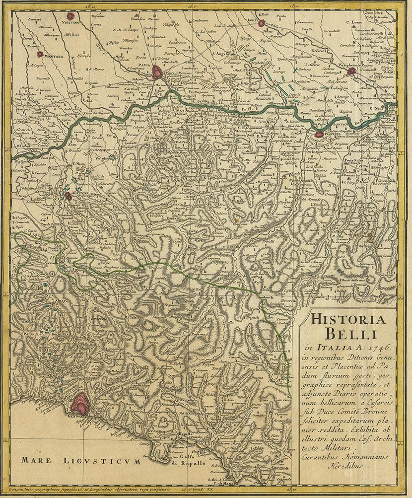
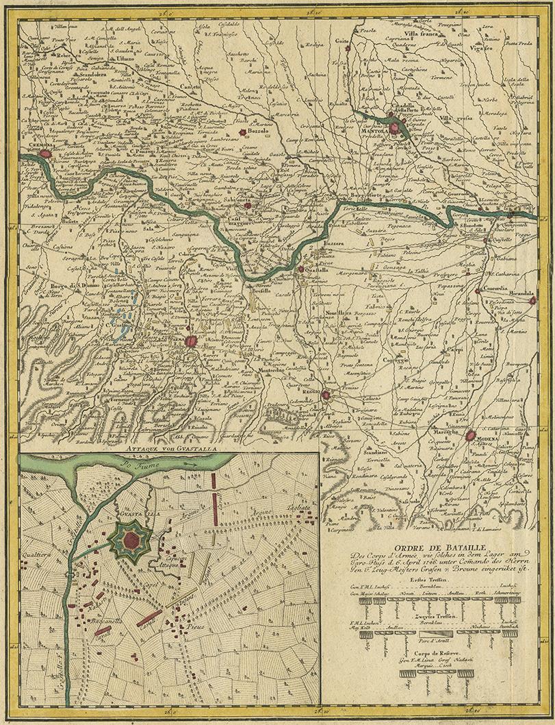
Set of Two Antique Maps of Northern Italy by Homann Heirs, 1754

€ 820

One of a kind: this is the sheet in the photographs. Ships from Langweer, the Netherlands.

Date
1754
Sheet size
49.5 × 61 cm (19.5 × 24.0 in)
Condition
Good
Reference
BGI-00086

Condition

Minor fading. Please study images carefully.
About this sheet

Set of two maps of northern Italy showing the position of troups during the war in April and March 1746. The area covered includes the course of the River Po between Valenza (north of Alexandria) and San Benedetto (south of Mantova) and the area south to Genova, Parma and Modena. Inset map of Guastalla with the battle order on April 6. Two columns of an extensive and detailed diary of the events to the right of each map in German, with further summarily headings above the maps. Published by Homann Heirs in Nürnberg, 1754.

More from Southern Europe

Ask about this sheet

Set of Two Antique Maps of Northern Italy by Homann Heirs, 1754
1754 · Ref. BGI-00086 · € 820
We reply by email, usually within one working day.