Cáceres 1901: Mapping the Crossroads of Extremadura, Western Spain
€ 310
One of a kind: this is the sheet in the photographs. Ships from Langweer, the Netherlands.
Date
1901
Sheet size
37.5 × 51 cm (14.8 × 20.1 in)
Condition
Good
Reference
BG-13642-9
Condition
Good condition. Central vertical folding lines as issued. Aged paper with typically warm, yellowish-brown hue, especially around the edges. Check the images carefully.
About this sheet
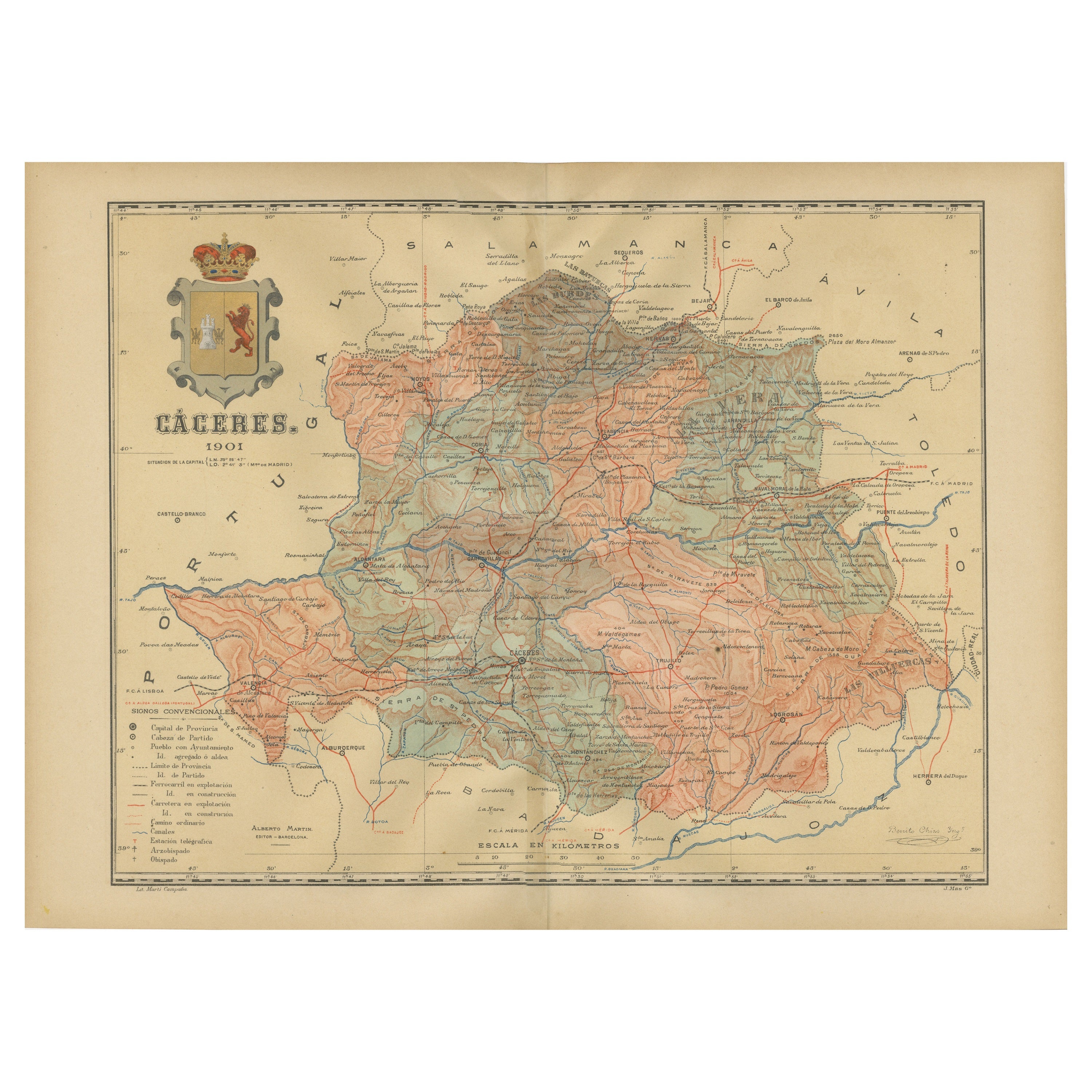
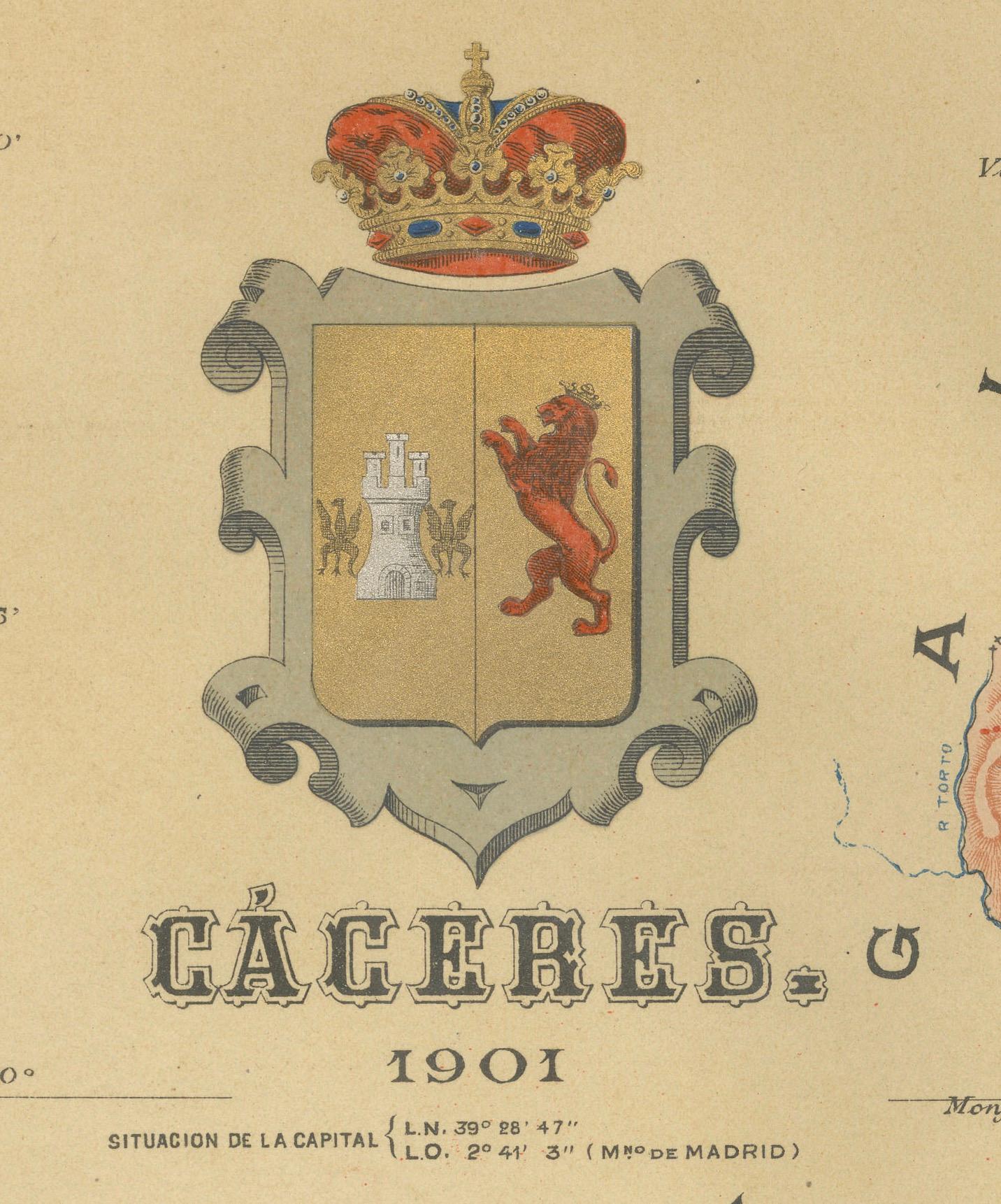
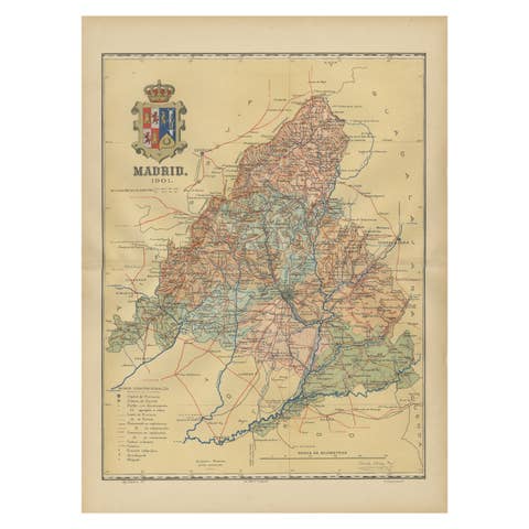
The map depicts the province of Cáceres in Spain, dated 1901. Key features of the map include:
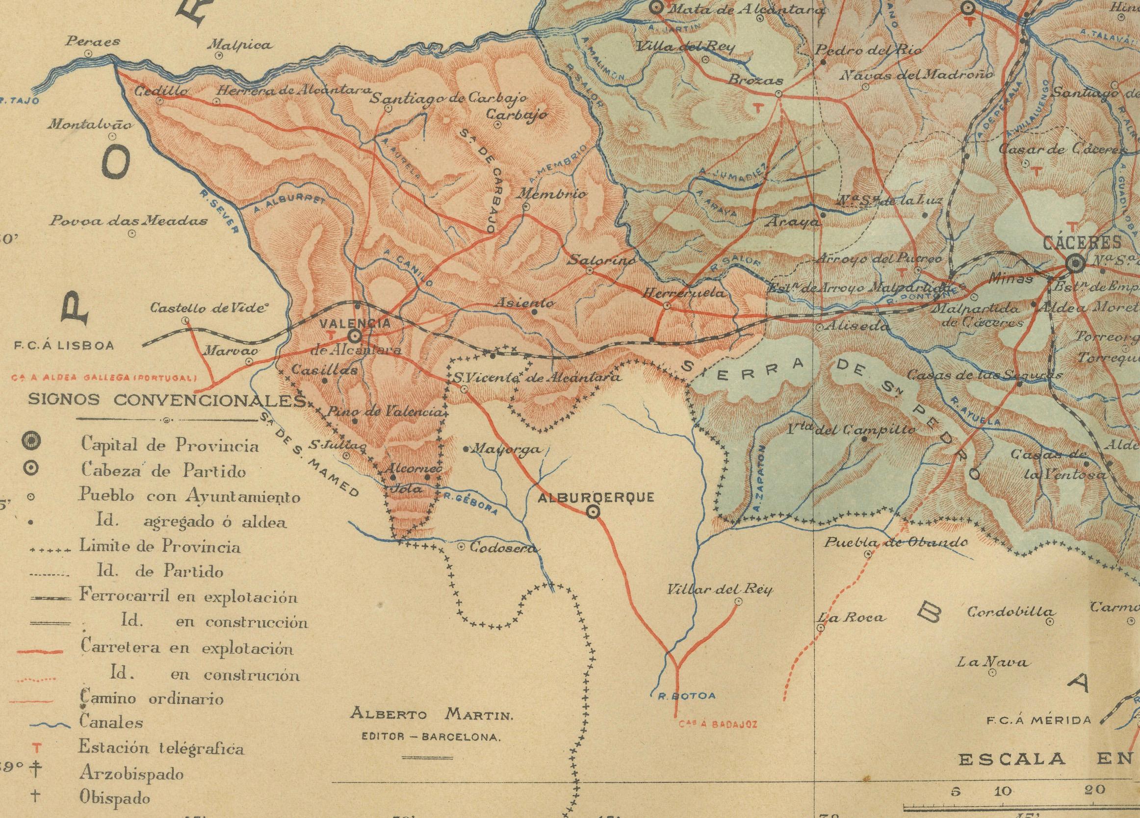
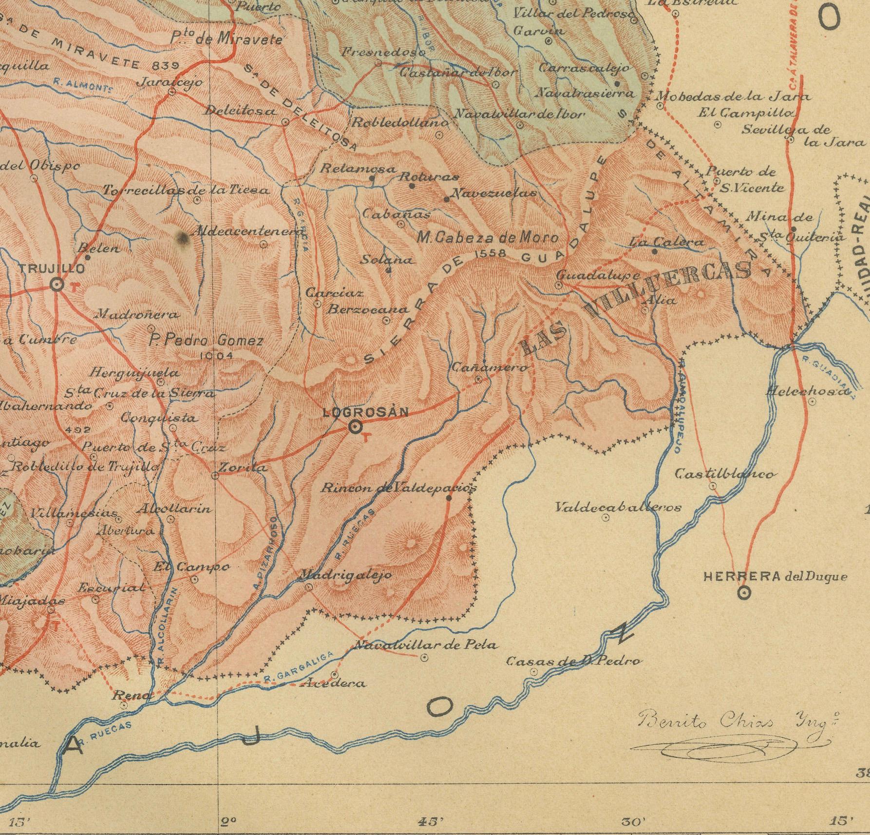
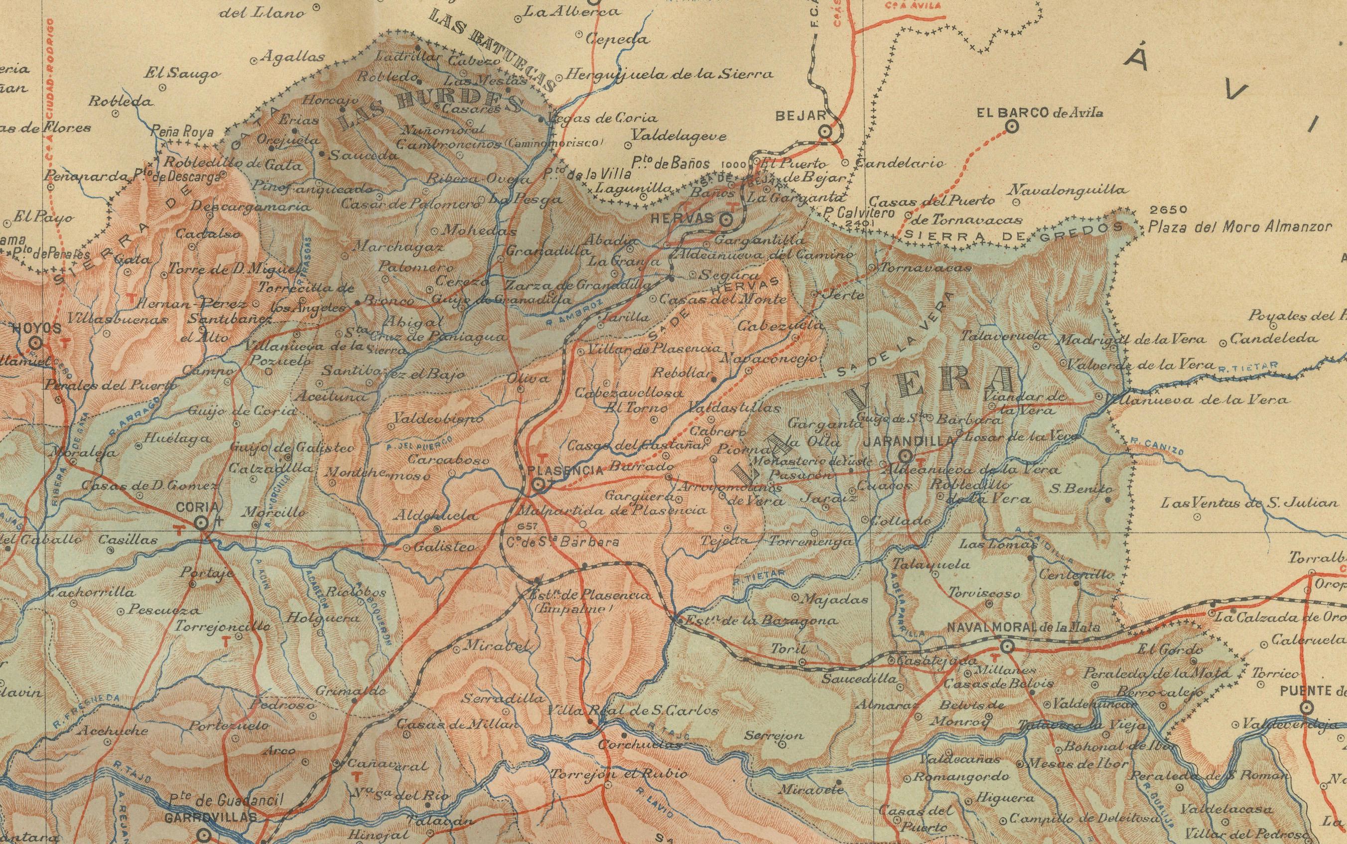
The map shows detailed contour lines indicating the diverse terrain, which includes the northern part of the province being part of the Sistema Central mountain range. Blue lines mark the rivers and larger bodies of water, likely including the Tagus River, which passes through the province. Red lines indicate roads and railways, highlighting the connections within the province and to neighboring areas.
The coat of arms of Cáceres is featured prominently, displaying a castle and a lion, symbols associated with the historical heritage of the region. It is highlighted with a gold coating in the crown.
About the province of Cáceres:
Cáceres is one of the two provinces in the autonomous community of Extremadura, in western Spain, bordering Portugal. The province is known for its extensive natural environments, including part of the Monfragüe National Park, which is a UNESCO-designated Biosphere Reserve, and the Tagus River International Natural Park. The capital city, also named Cáceres, boasts a well-preserved old town with a wealth of Renaissance architecture and has been declared a UNESCO World Heritage Site. The province's history is rich with Roman, Moorish, and medieval Christian influences. The economy traditionally relied on agriculture, with a particular emphasis on the production of cherries, tobacco, and the famous Iberian ham, derived from pigs fed on the acorns of the dehesas (a type of wooded pastureland typical of the region). Cáceres is also known for its cultural events, including traditional festivals and fiestas.