No longer available
Antique Plan of Ancient Syracuse (c.1790)
This sheet is no longer available. Each item we offer is a single original, so once it has gone it cannot be restocked. Below are available sheets from the same part of the collection.
Available now in Southern Europe
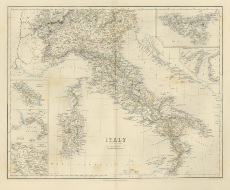
Antique Map of Italy with Sicily, Malta and Bay of Naples Insets, circa 1860
circa 1860 · € 495
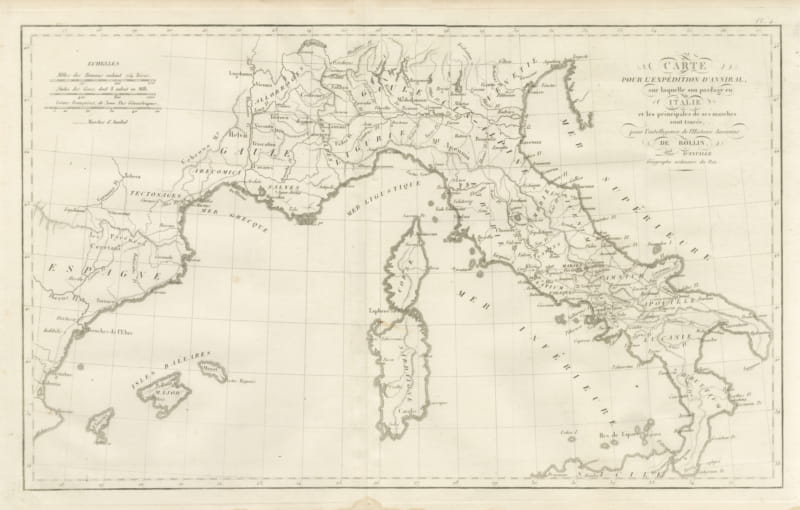
Hannibal's Expedition into Italy with His Marches Traced, d'Anville, 1818
1818 · € 255
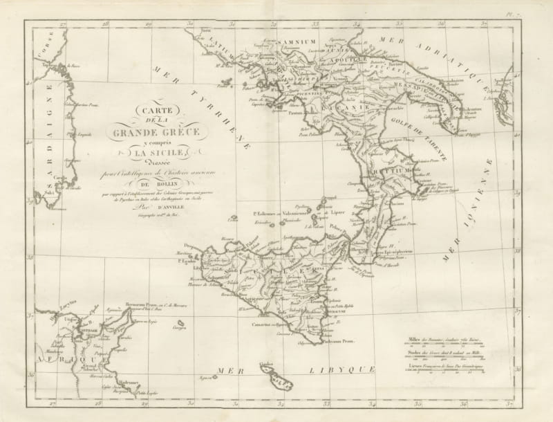
Magna Graecia and Sicily, Greek Colonies Map after d'Anville, 1818
1818 · € 255
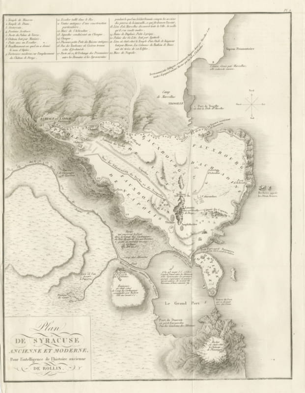
Plan of Ancient and Modern Syracuse with Numbered Key, Rollin Atlas, 1818
1818 · € 295
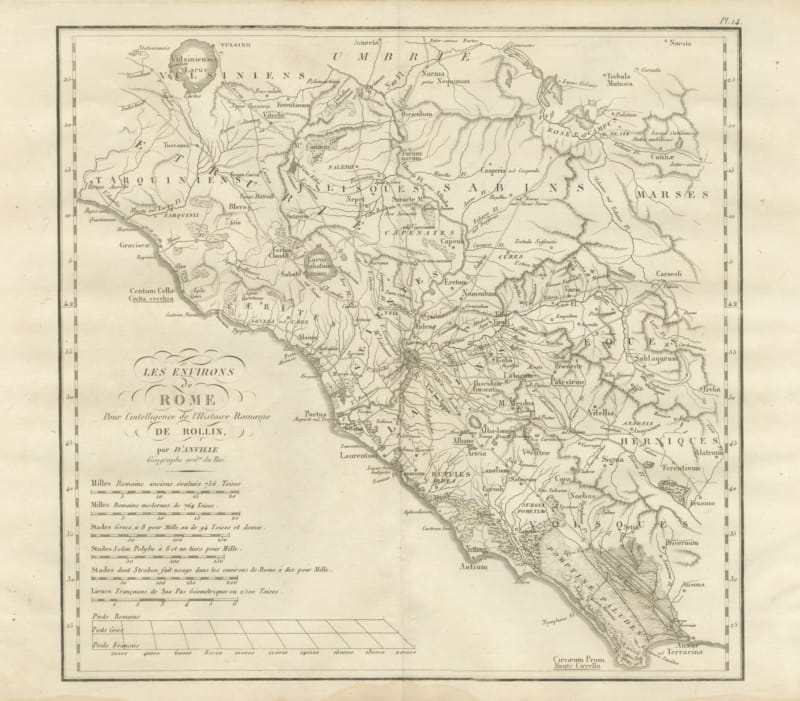
Environs of Ancient Rome and Latium, d'Anville Roman History Map, 1818
1818 · € 245
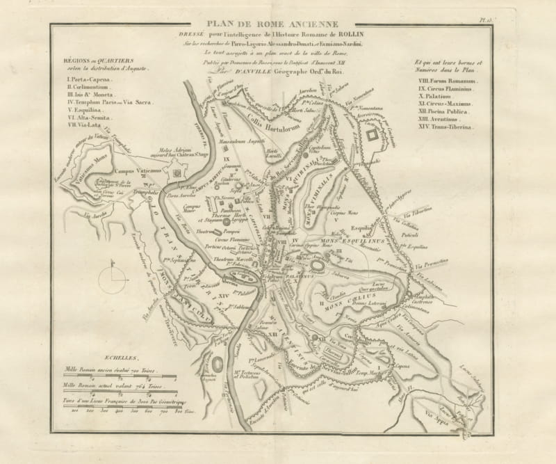
Plan of Ancient Rome with the Fourteen Augustan Regions, d'Anville, 1818
1818 · € 305
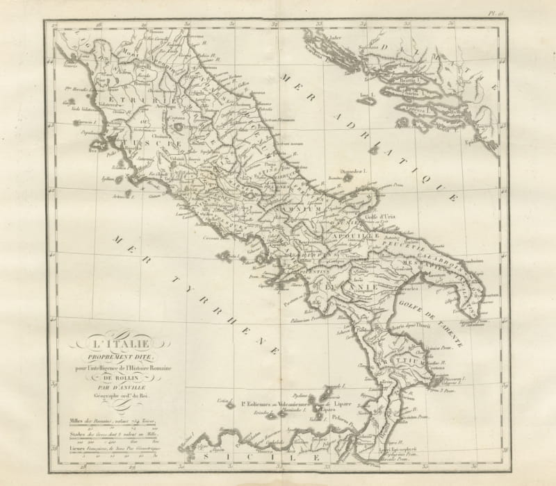
Ancient Italy and the Dalmatian Coast, d'Anville Rollin Atlas, 1818
1818 · € 285
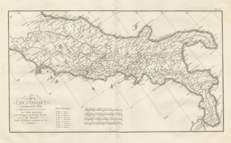
Roman Roads of Ancient Italy, d'Anville Voies Romaines Map, 1818
1818 · € 285
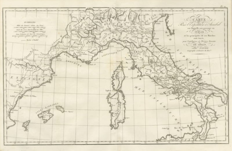
Hannibal's March into Italy, d'Anville Map for Rollin's Roman History, 1818
1818 · € 285
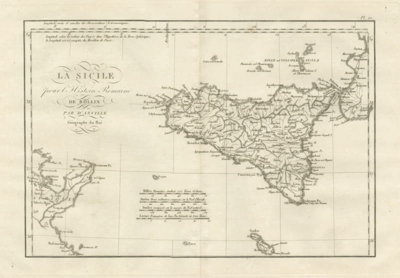
Ancient Sicily with Malta and the Carthage Coast, d'Anville, 1818
1818 · € 285
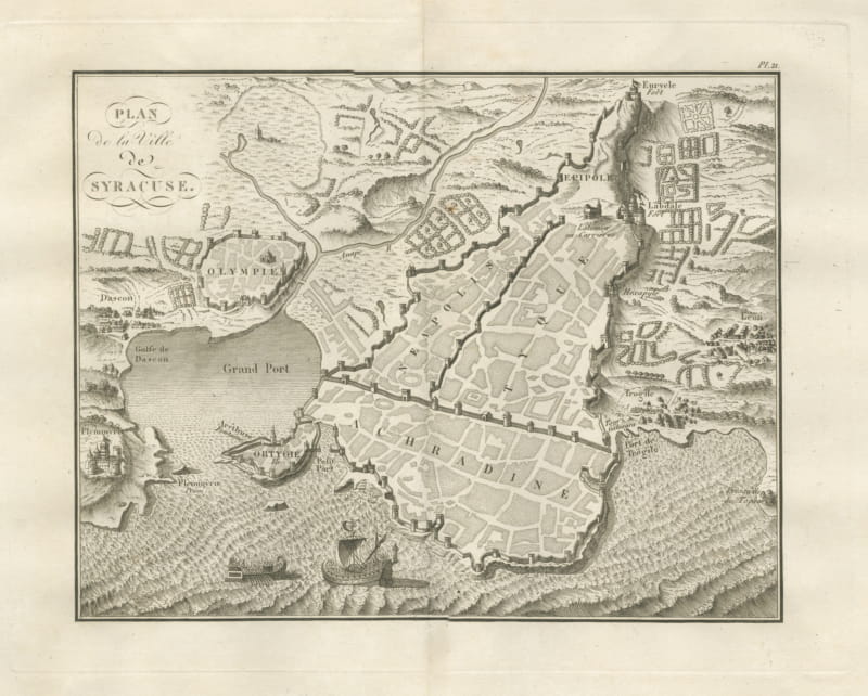
Plan of Ancient Syracuse with Ortygia and Galleys, Rollin Atlas, 1818
1818 · € 285
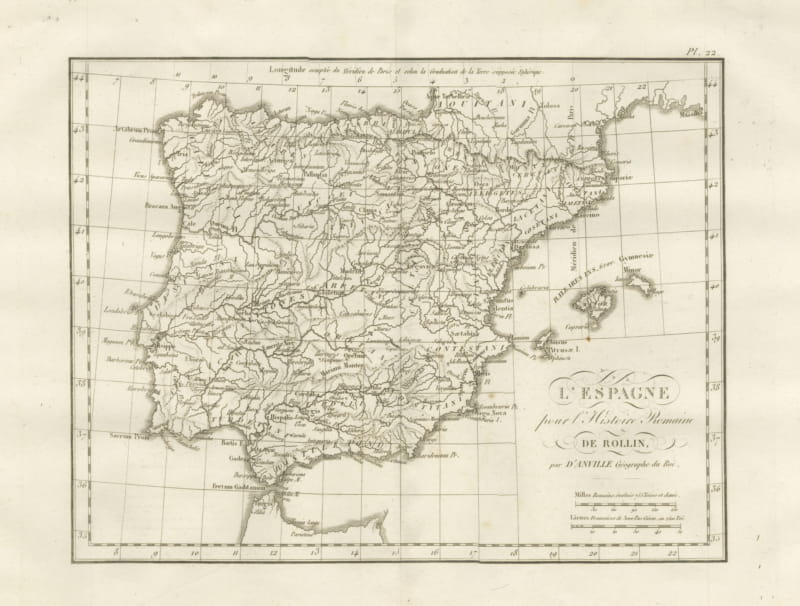
Roman Spain and Portugal with the Balearic Islands, d'Anville, 1818
1818 · € 255