About this sheet
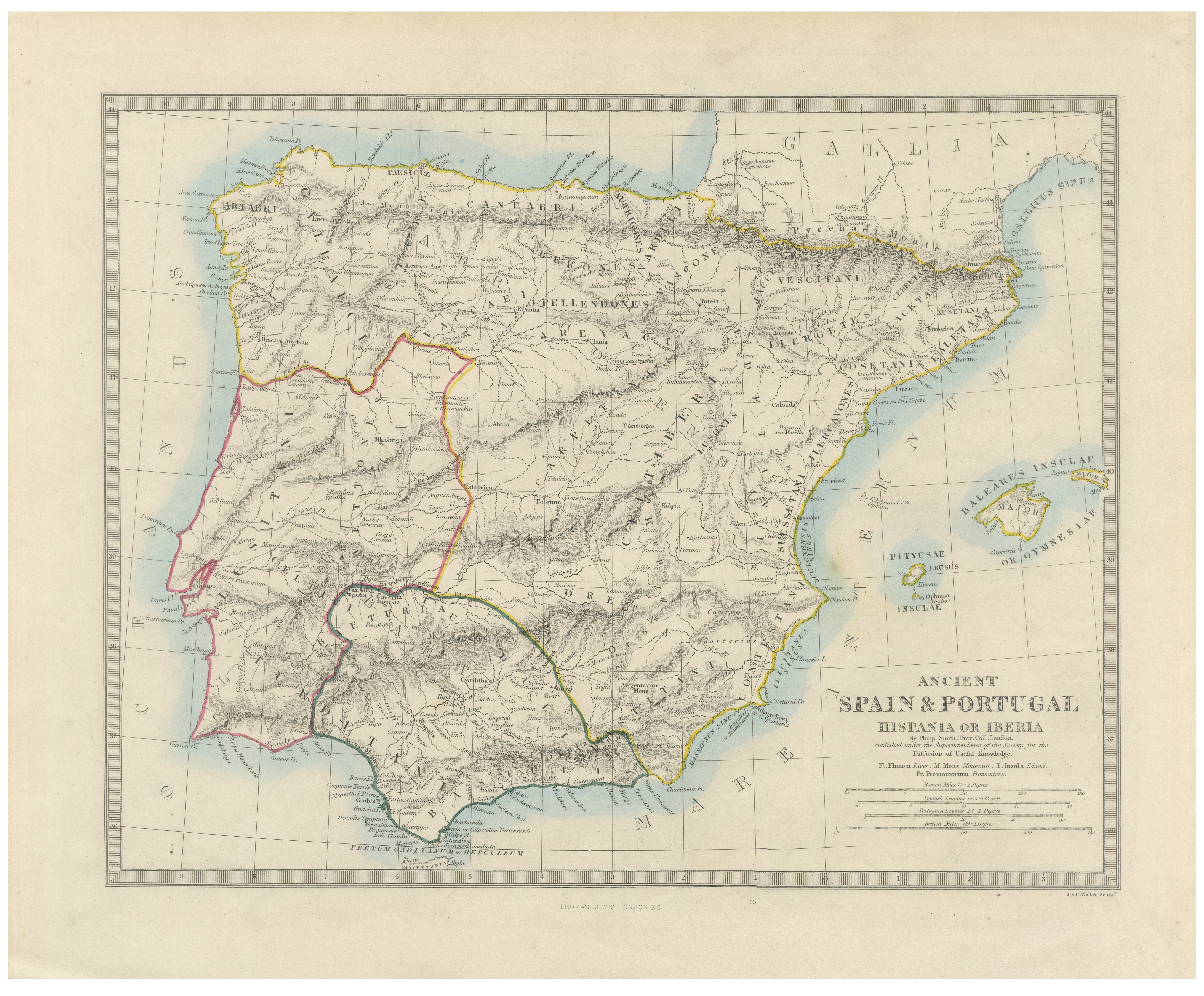
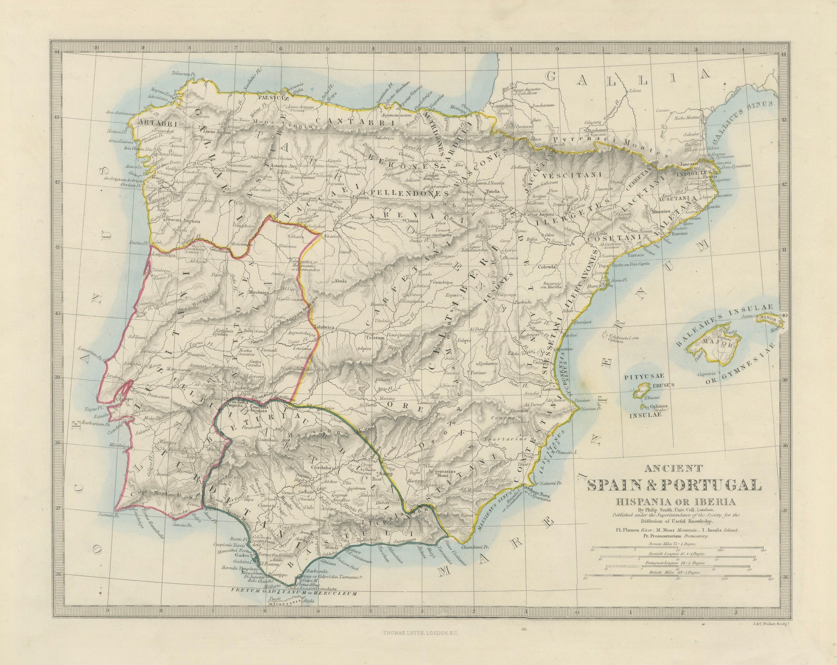
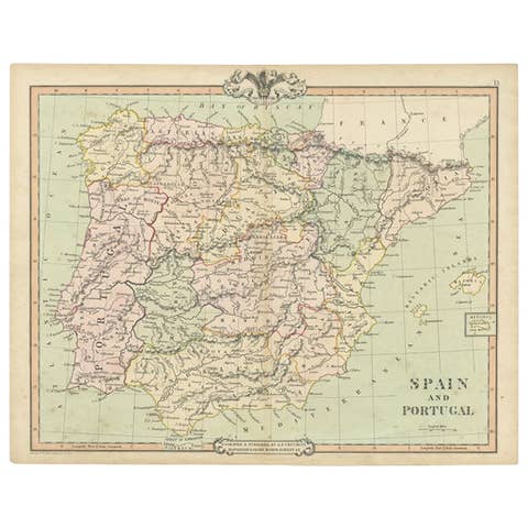
This elegant nineteenth-century historical map depicts the Iberian Peninsula as understood in the classical world under the title “Ancient Spain & Portugal — Hispania or Iberia.” Finely engraved and delicately hand-colored, the map presents Spain and Portugal through the lens of Roman and ancient geography, combining archaeological scholarship with refined Victorian cartographic aesthetics.
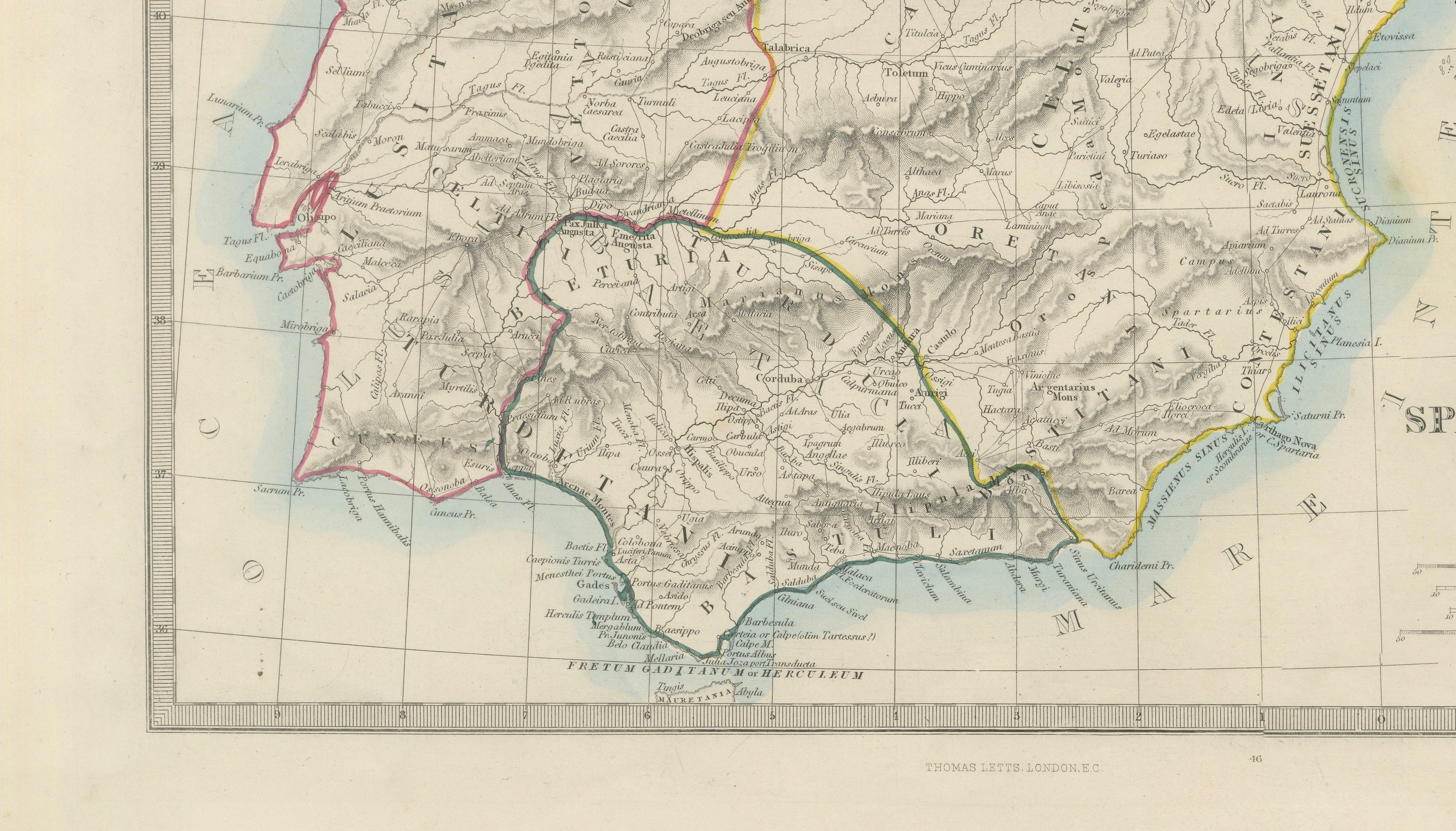
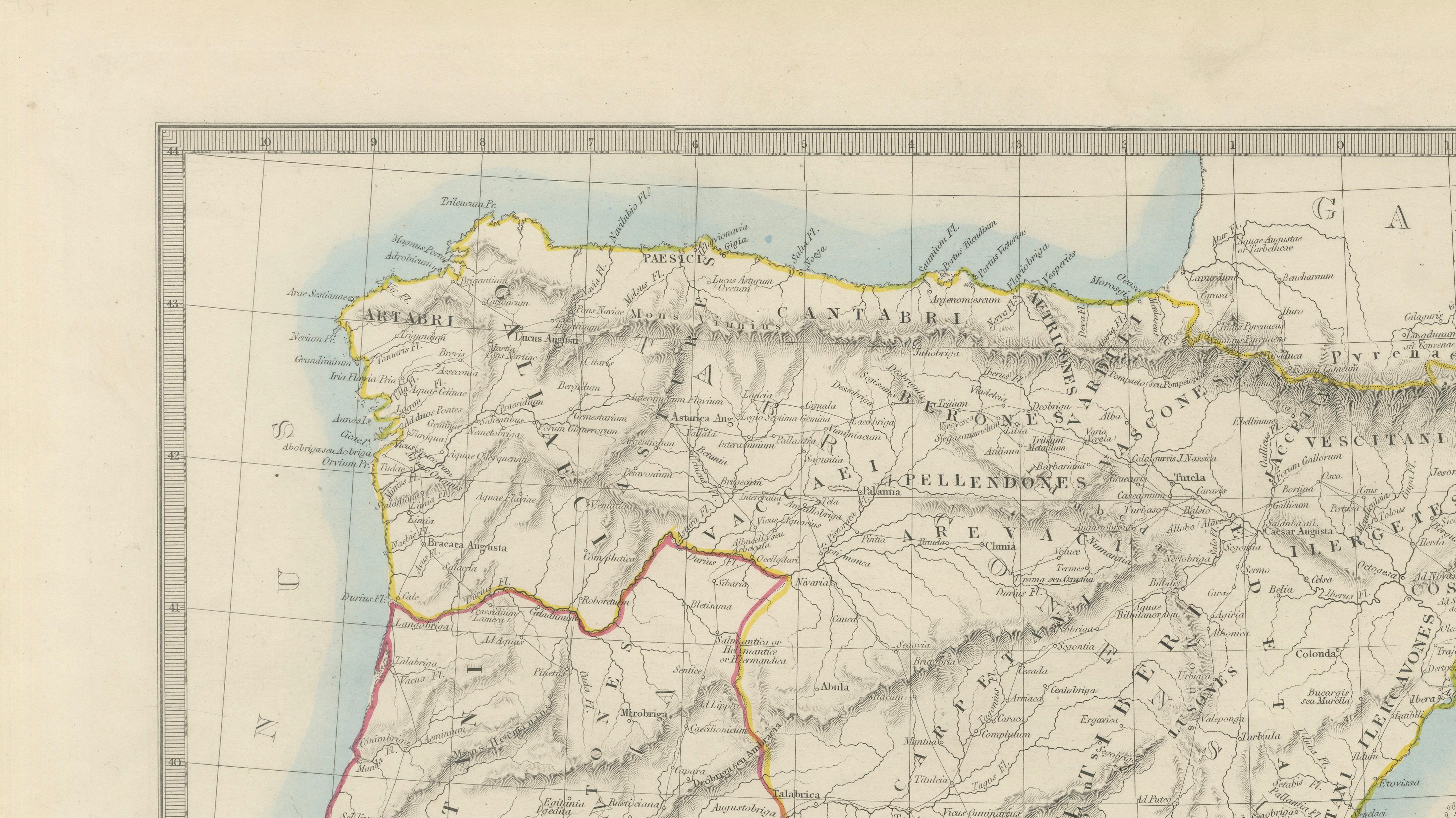
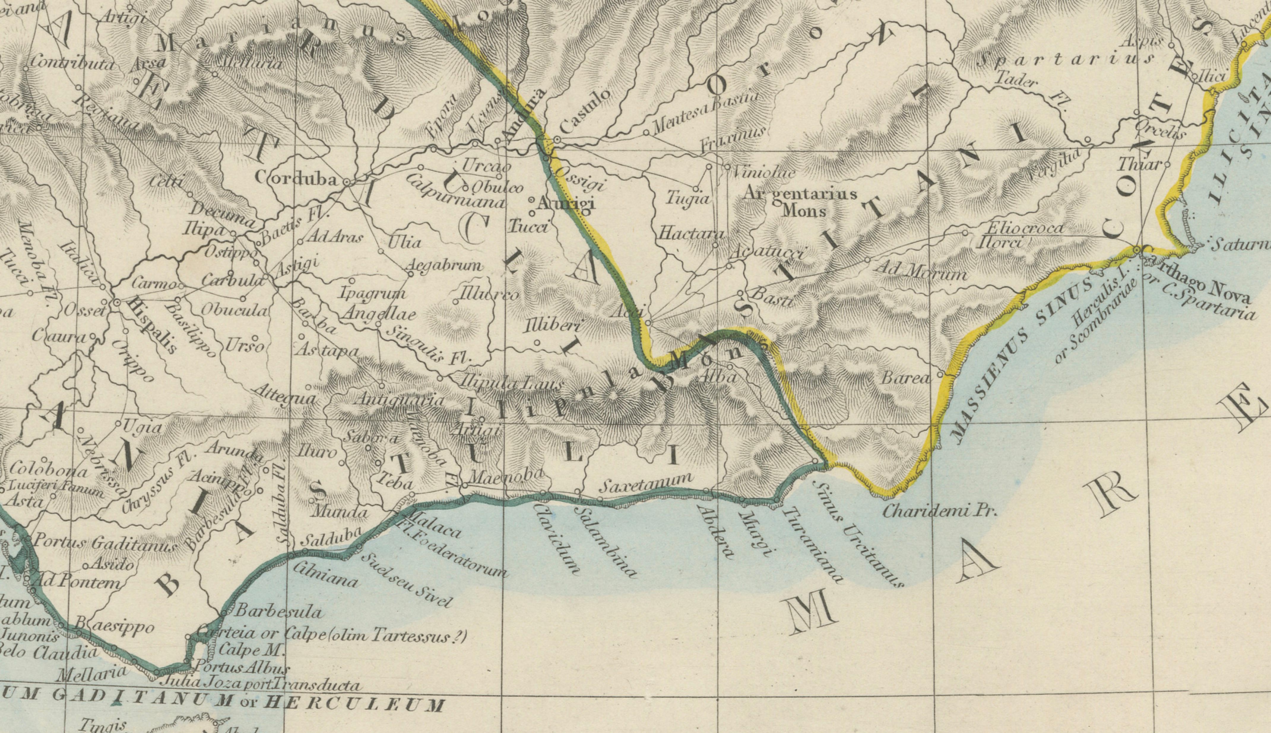
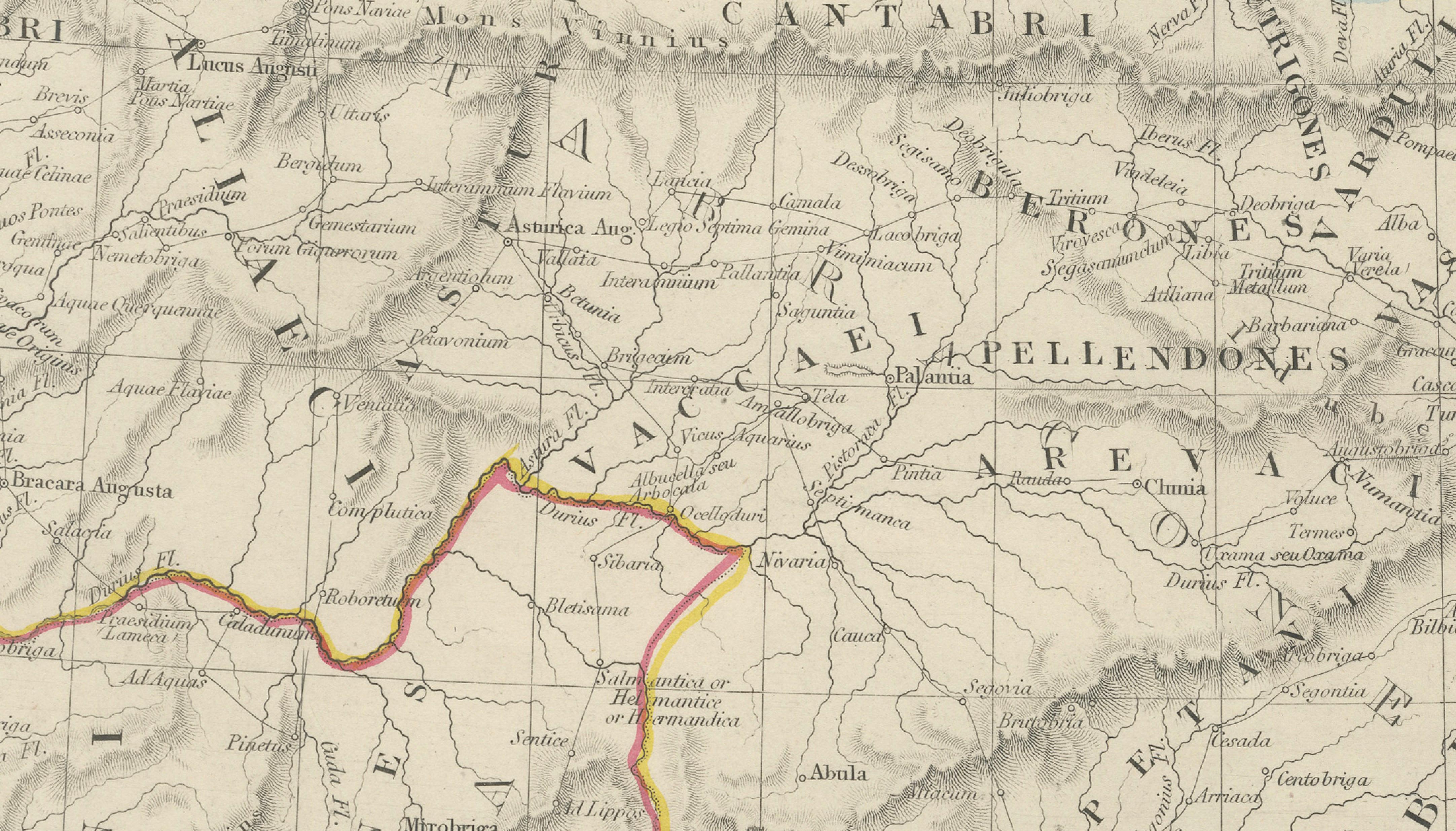
The composition includes the full Iberian Peninsula together with the Balearic Islands, illustrating ancient tribal territories, Roman provincial divisions, mountain systems, rivers, coastal settlements, and classical place names. The engraved relief work is particularly attractive, with finely shaded mountain ranges giving depth and structure to the landscape. Soft original outline coloring in yellow, pink, green, and blue distinguishes historical regions while maintaining an understated and sophisticated appearance.
Published in London by Thomas Letts and engraved by J. & C. Walker, the map belongs to the flourishing tradition of nineteenth-century educational and historical cartography produced during the Victorian period. These maps were intended not only for geographic study, but also to illustrate the political and cultural geography of the ancient world for students, scholars, and educated households.
The map references important ancient regions including Lusitania, Baetica, Tarraconensis, and Gallaecia, while also showing classical cities, rivers, and coastal features associated with Roman Hispania. The careful balance between geographic precision and decorative restraint makes the work particularly suitable for collectors of classical antiquity, Spanish history, Roman studies, and nineteenth-century British cartography.
Visually, the engraving possesses a refined neoclassical character. The restrained palette and clean line work allow the map to display exceptionally well in both traditional and modern interiors. It works particularly well in libraries, studies, Mediterranean-inspired interiors, or gallery walls focused on travel, antiquity, or European history.
The large format, generous margins, and elegant typography contribute to its strong decorative presence while retaining academic integrity. Antique maps of Spain and Portugal continue to attract collectors due to the enduring appeal of Iberian history, Roman antiquity, and Grand Tour aesthetics.
Special note: This is an original antique map, not a reproduction. All items we offer are authentic period works of art over 100 years old. The map is sold unframed; any framed images are shown for presentation and interior inspiration only and may not always be to scale with the original.
Condition report:
Very good condition for age with attractive original outline hand coloring. Minor age-related toning and light handling wear consistent with nineteenth-century atlas maps. Strong engraved impression with broad margins and excellent overall presentation.
Framing tips:
This map displays beautifully in dark walnut, black lacquer, or lightly gilt frames paired with ivory or warm cream mats. Its refined neoclassical appearance makes it particularly suitable for libraries, studies, Mediterranean interiors, and elegant gallery walls.
Technique: Steel engraving with original outline hand color
Maker: Thomas Letts after J. & C. Walker, London, circa 1850