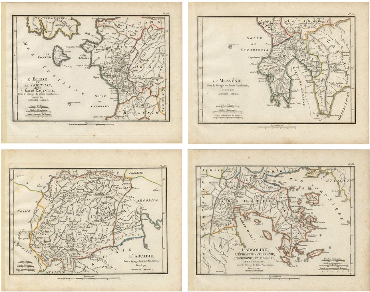
About this sheet
Set of four original antique engraved and hand-coloured maps of the Peloponnese and western Greece, engraved by Ambroise Tardieu for the atlas accompanying Jean-Jacques Barthélemy’s celebrated Voyage du jeune Anacharsis en Grèce.
Together, the four maps provide an extensive survey of the ancient Peloponnese and surrounding Ionian and Saronic islands, including Elis, Messenia, Arcadia, Argolis, Olympia, Epidaurus, Zakynthos, Cephalonia and Aegina.
The set comprises:
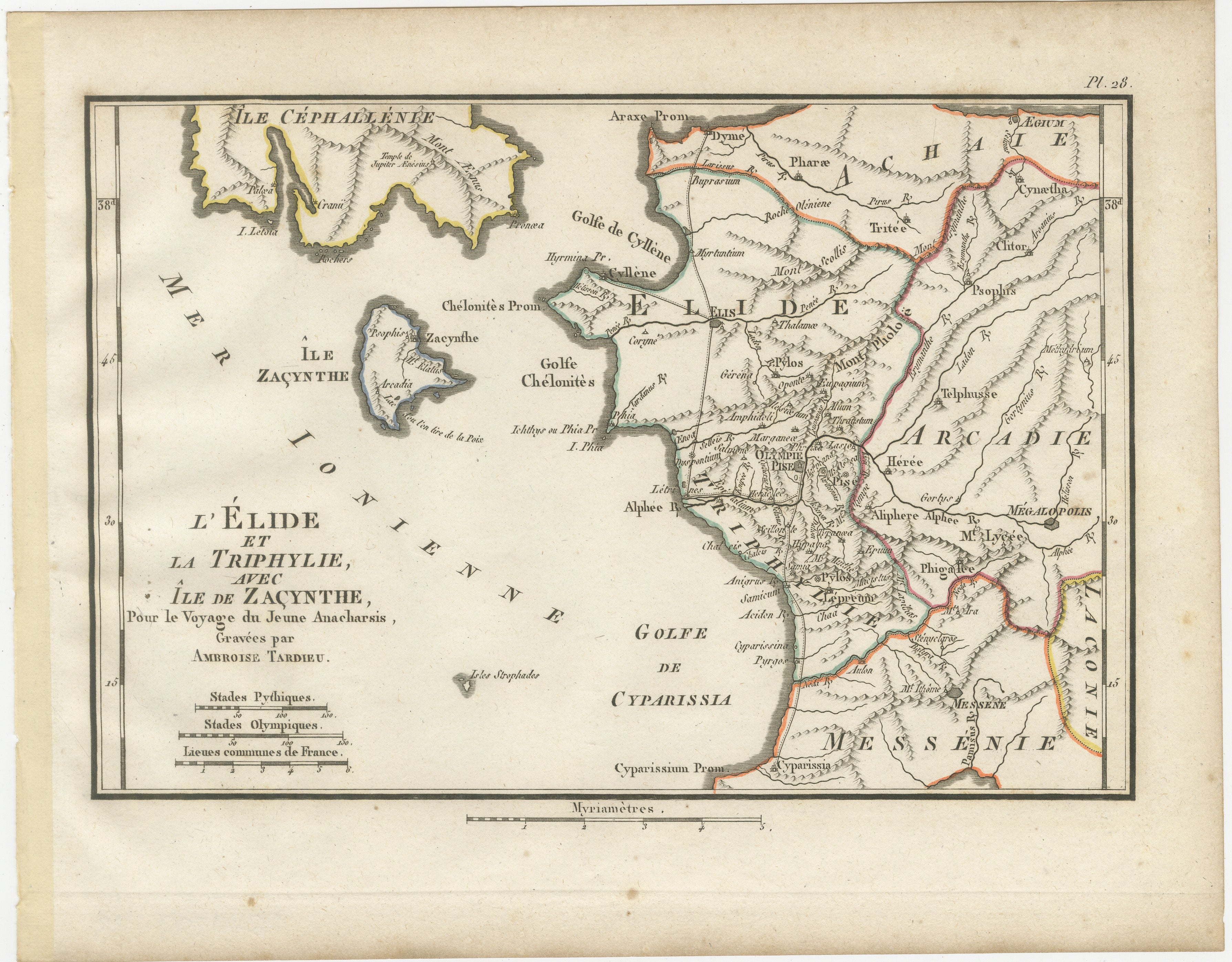
1. L’Élide et la Triphylie, avec l’Île de Zacynthe – Plate 28
Detailed map of ancient Elis and Triphylia in the western Peloponnese, together with the island of Zakynthos and part of Cephalonia. Of particular historical interest is Olympia, prominently marked in Elis, the celebrated sanctuary of Zeus and birthplace of the ancient Olympic Games.
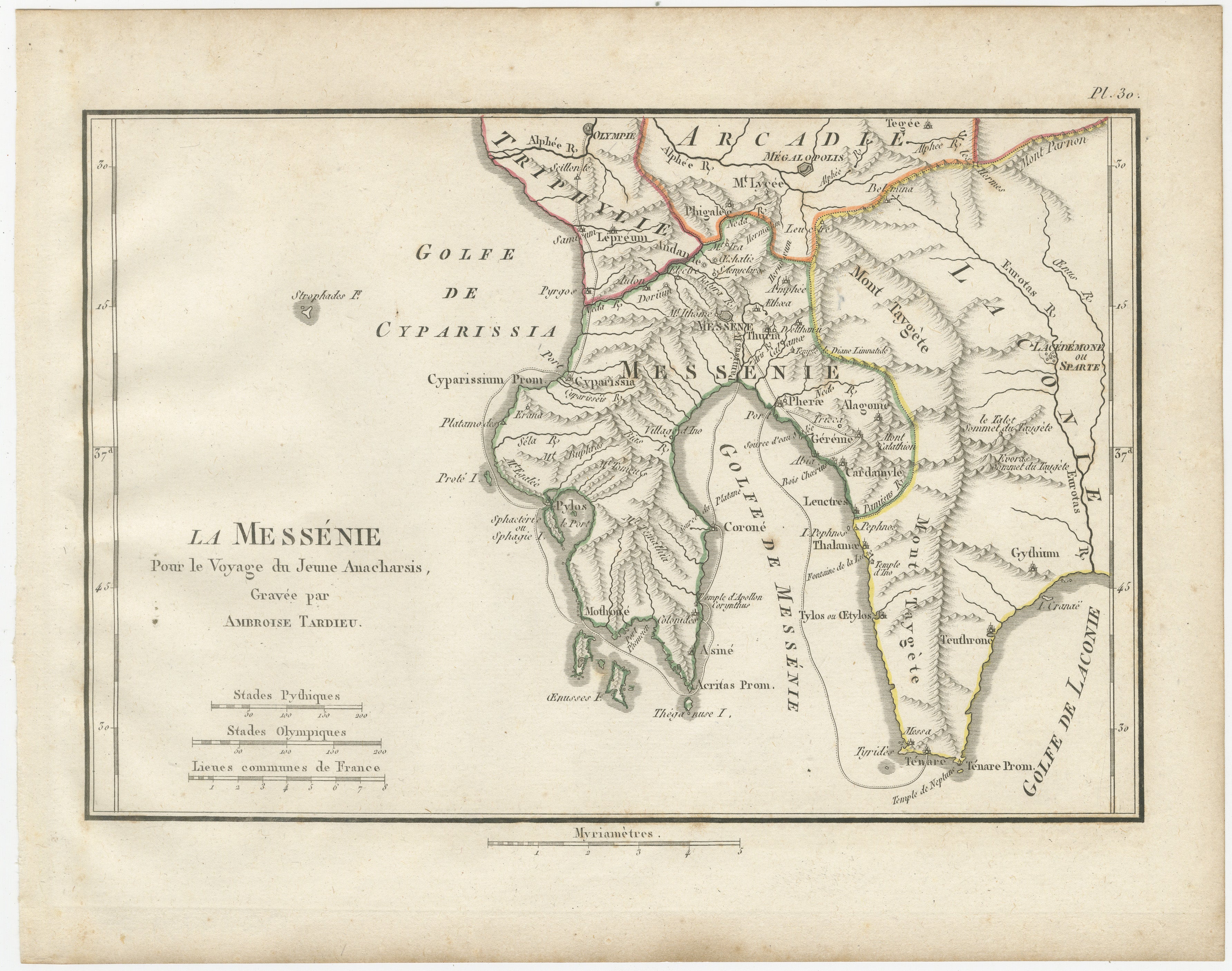
2. La Messénie – Plate 30
Map devoted to ancient Messenia in the southwestern Peloponnese. It includes the mountainous interior and deeply indented coastline around the Gulf of Messenia, extending eastwards towards Laconia and north towards Arcadia and Triphylia. Numerous ancient settlements, rivers, mountains and coastal sites are identified.
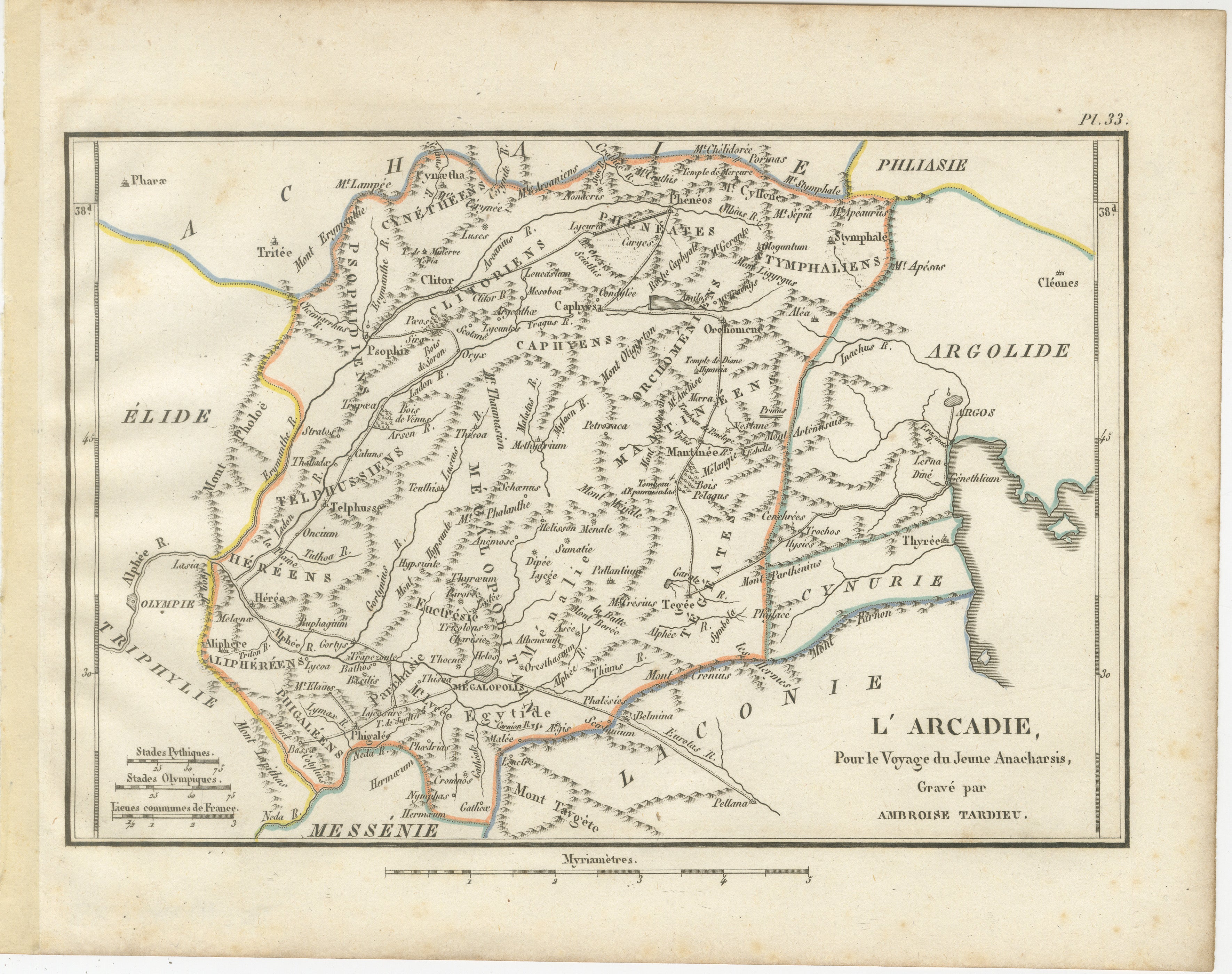
3. L’Arcadie – Plate 33
A particularly detailed map of ancient Arcadia, the mountainous heart of the Peloponnese. The engraving identifies numerous ancient cities and regions, including Megalopolis, Mantinea and Tegea, together with an extensive network of mountains, rivers, roads and settlements. Olympia and parts of Elis, Messenia and Argolis appear around the margins.
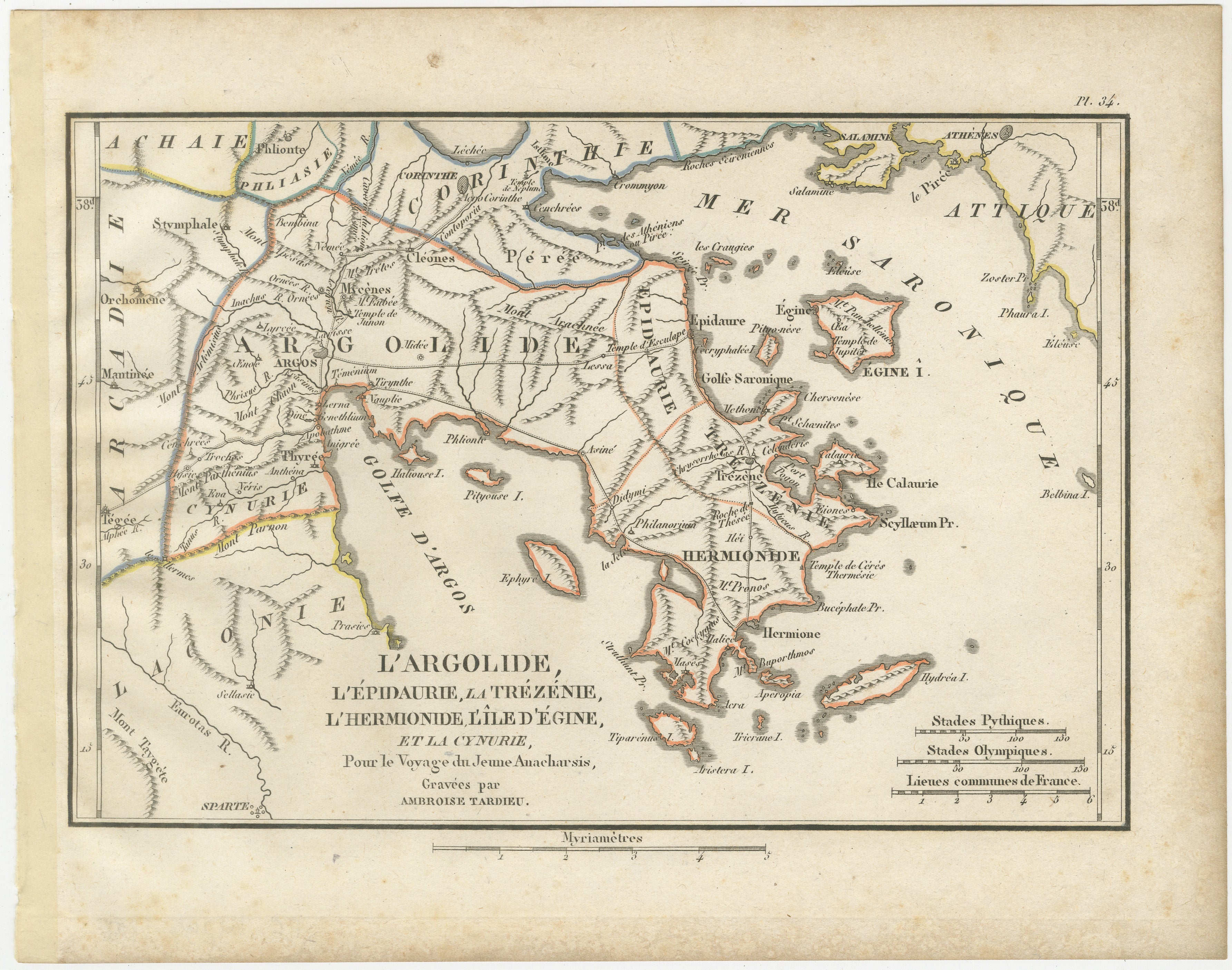
4. L’Argolide, l’Épidaurie, la Trézénie, l’Hermionide, l’Île d’Égine et la Cynurie – Plate 34
Detailed map of the northeastern Peloponnese and the Saronic Gulf, encompassing Argolis, Epidauria, Troezen, Hermione, Cynuria and the island of Aegina. Important classical sites include Argos, Mycenae, Epidaurus and Corinth, while Athens and Salamis appear across the Saronic Gulf.
Each map is finely engraved with mountain ranges, rivers, coastlines, ancient settlements and geographical features. Attractive original outline colouring in pink, yellow, blue, green and orange distinguishes the historical territories and islands.
Together, these four maps form a cohesive and highly decorative group covering some of the most important regions of classical Greece. They are particularly appealing as a set and would display beautifully when framed individually and arranged together.
Creator / Engraver: Ambroise Tardieu
Titles:
L’Élide et la Triphylie, avec l’Île de Zacynthe
La Messénie
L’Arcadie
L’Argolide, l’Épidaurie, la Trézénie, l’Hermionide, l’Île d’Égine et la Cynurie
Publication: Paris
Date: 1825
Technique: Engravings with original outline colour on paper
Plates: Pl. 28, 30, 33 and 34
Subject: Ancient Peloponnese and Greek Islands
Number of works: 4
Condition:
Good antique condition with general age toning, scattered foxing and occasional stains and marks, consistent with age. Some discoloration is visible in the margins and along the sheet edges, with old mounting or binding-related traces visible on some sheets. The original outline colouring remains attractive and the engraved areas are strong and highly detailed. Please study the photographs carefully as they form an important part of the condition description.
Original antique maps. Not modern reproductions.
Sold as a set of four and unframed. Any framed or interior images shown are for presentation and inspiration only.
Keywords: Peloponnese Maps, Ancient Greece Maps, Arcadia, Argolis, Messenia, Elis, Olympia, Ancient Olympic Games, Mycenae, Epidaurus, Argos, Zakynthos, Zante, Cephalonia, Aegina, Saronic Gulf, Greek Islands, Classical Greece, Ambroise Tardieu, Hand Coloured Maps, Antique Maps, Historical Cartography, Set of Four, 1825.