About this sheet
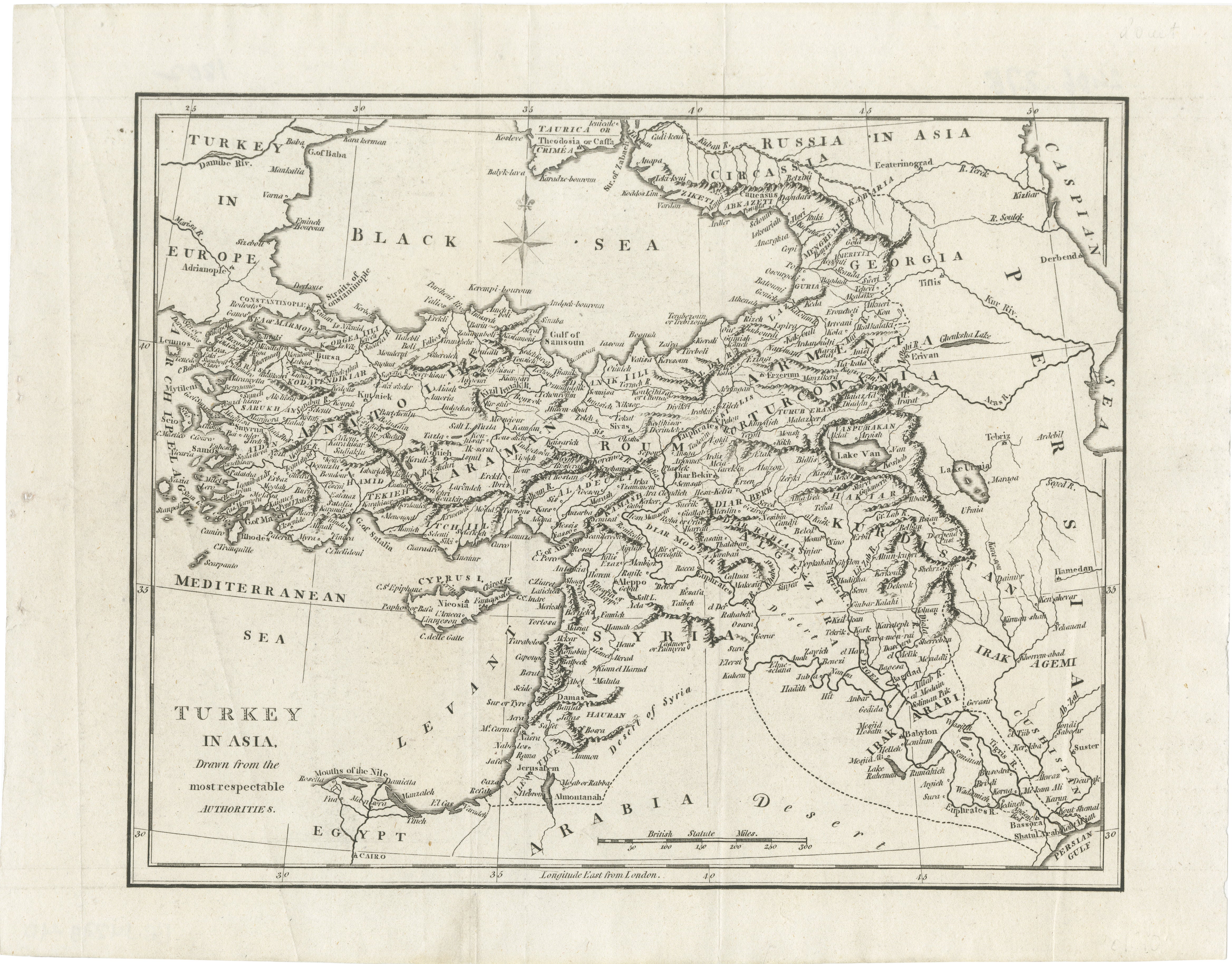
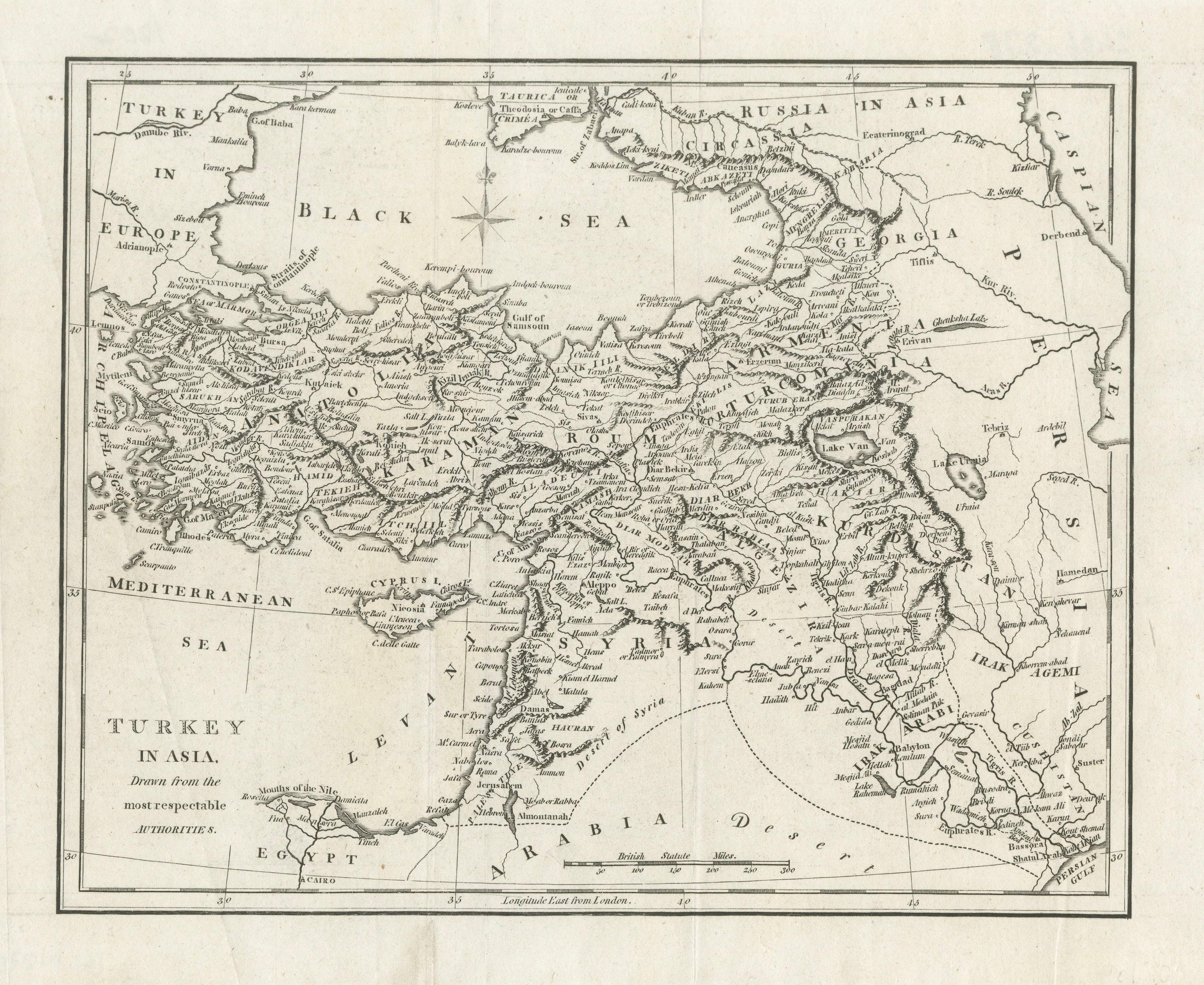
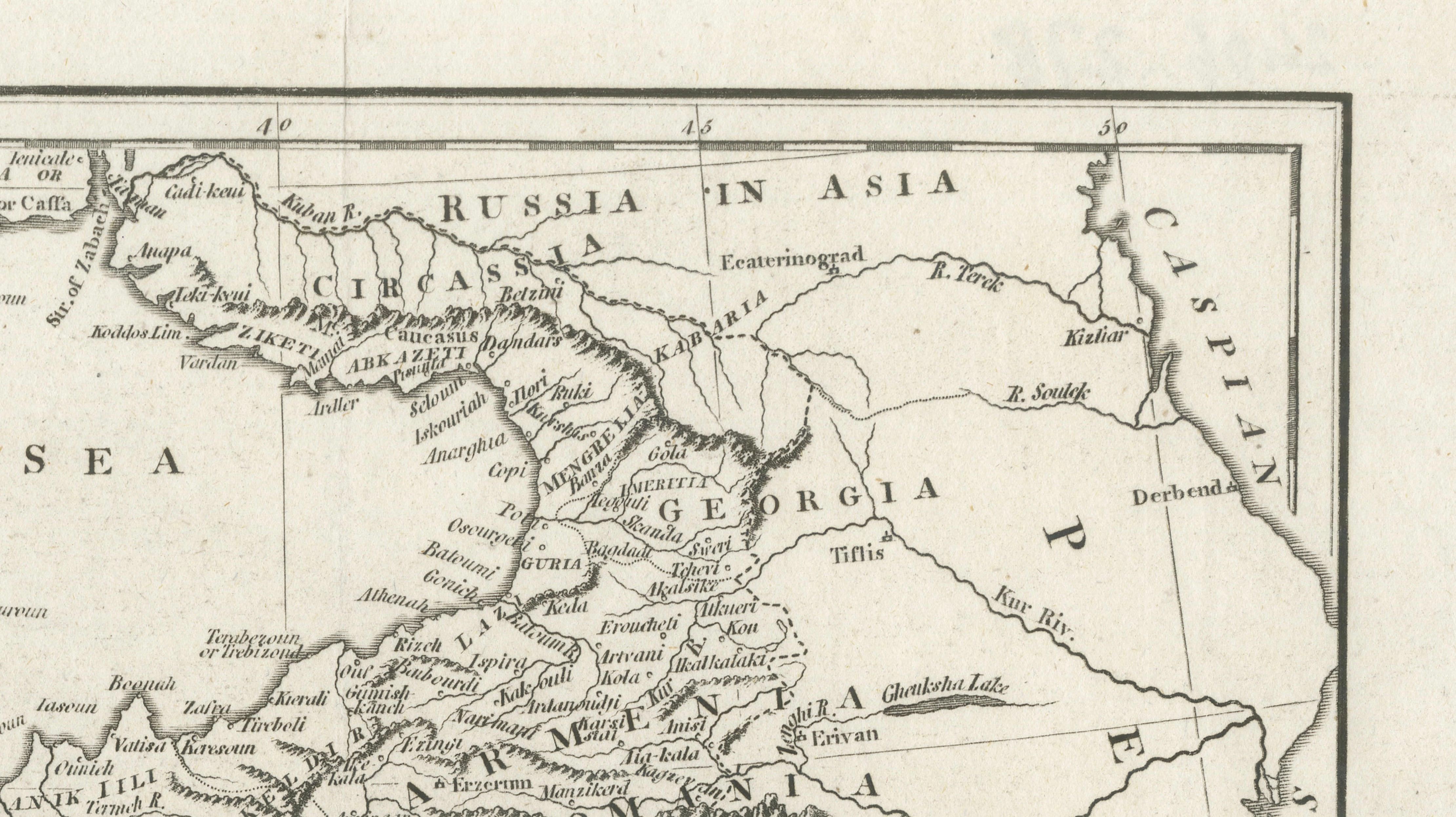
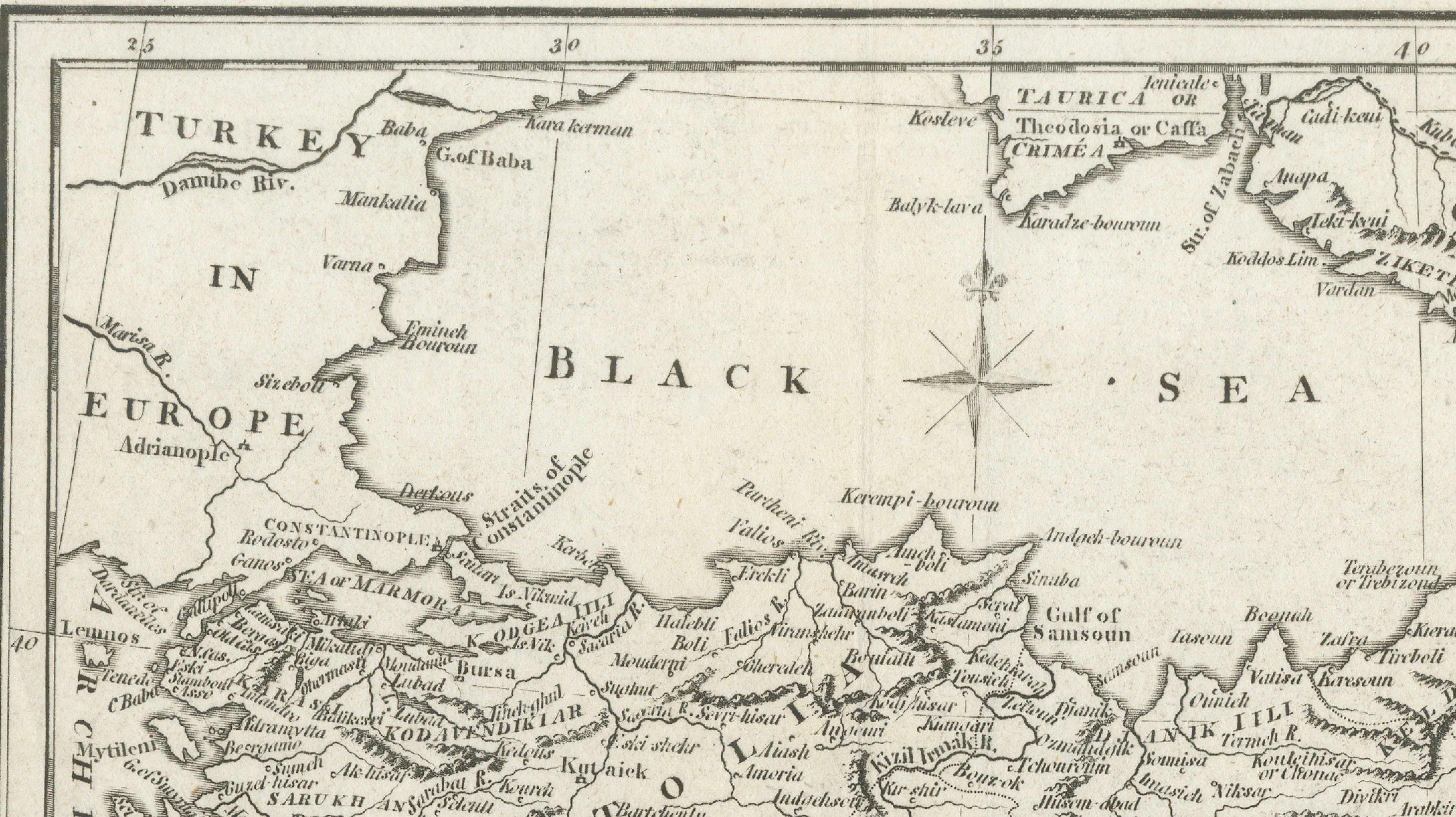
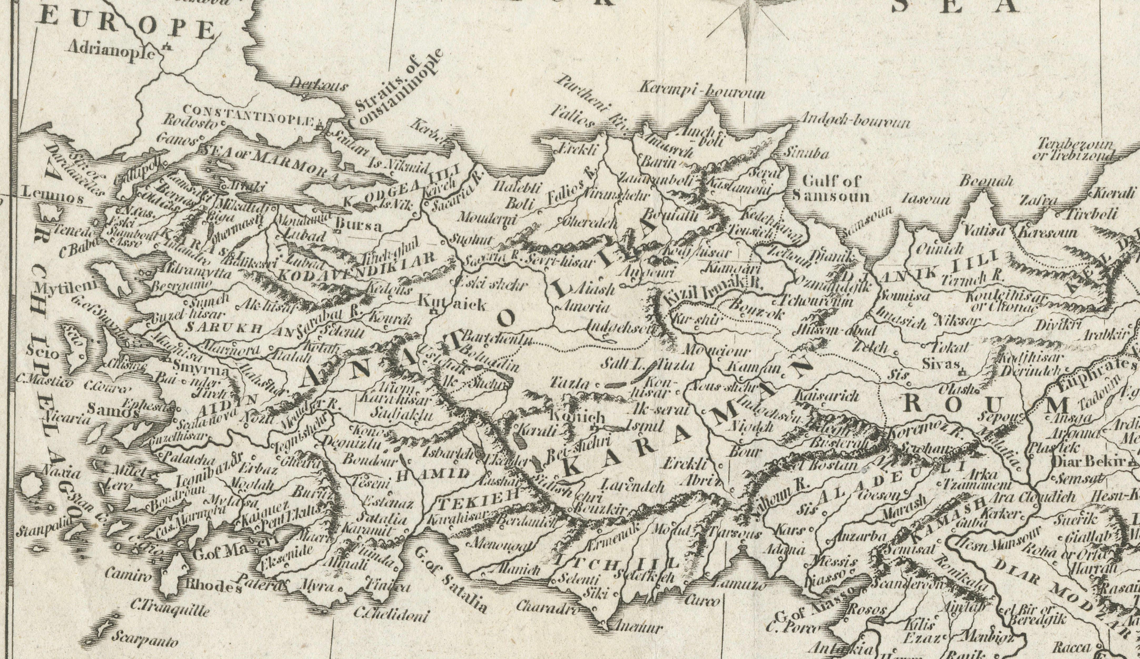
A finely engraved map capturing the heart of the Ottoman Empire at a pivotal moment before the modern borders of the Middle East were formed, spanning Anatolia, Syria, Mesopotamia, and the eastern Mediterranean. This composition offers a rare window into a pre-industrial geopolitical landscape, where ancient regions and early modern territories coexist across a vast and historically charged geography.
Extending from Constantinople and the Black Sea across Asia Minor to the fertile lands of the Tigris and Euphrates, the map traces the interconnected worlds of Turkey, Armenia, Syria, and Iraq with remarkable clarity. The clean, precise engraving reflects the scientific cartographic style of the early 19th century, prioritizing legibility and accuracy while still retaining an understated elegance that works beautifully in both traditional and contemporary interiors.
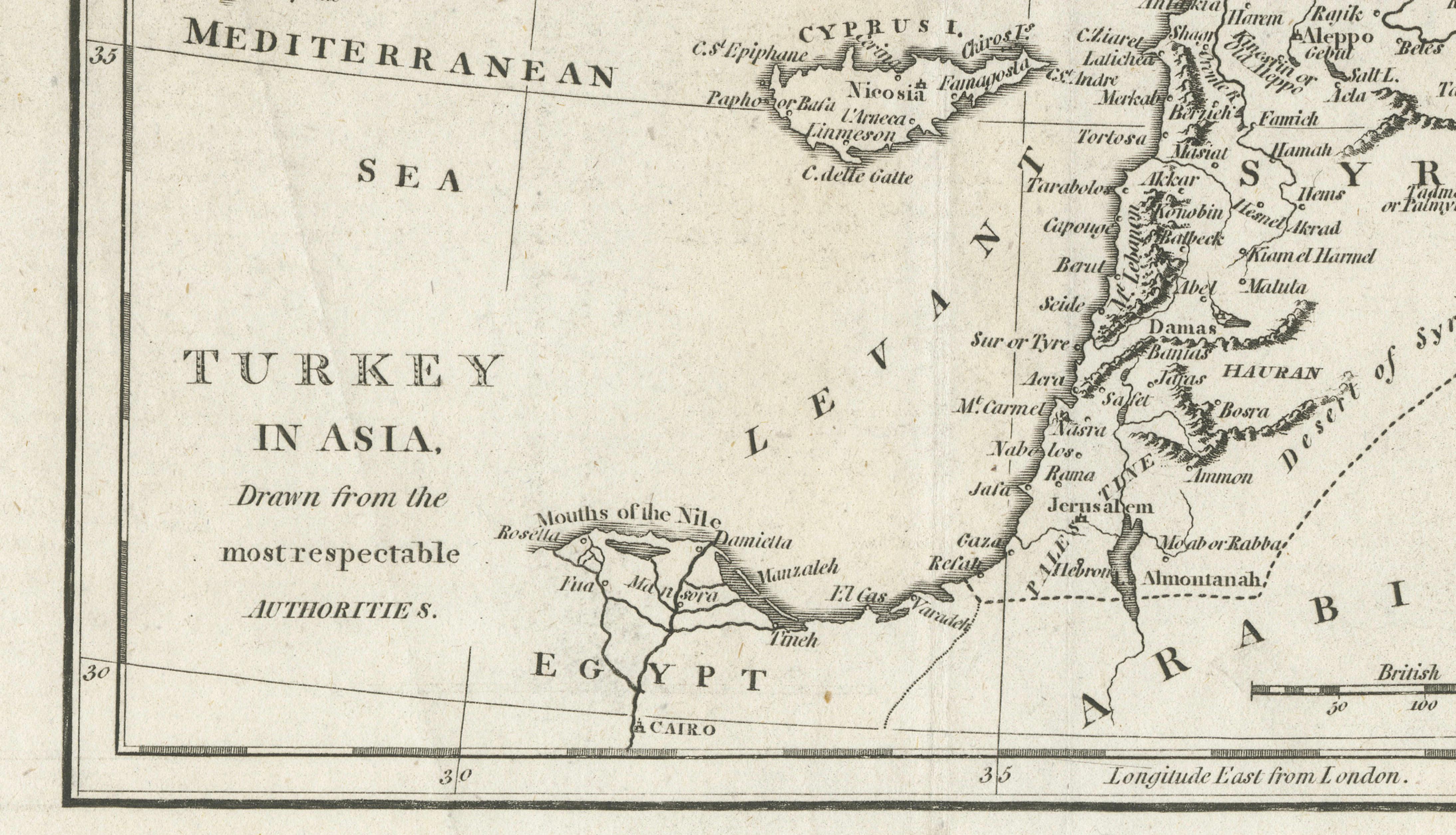
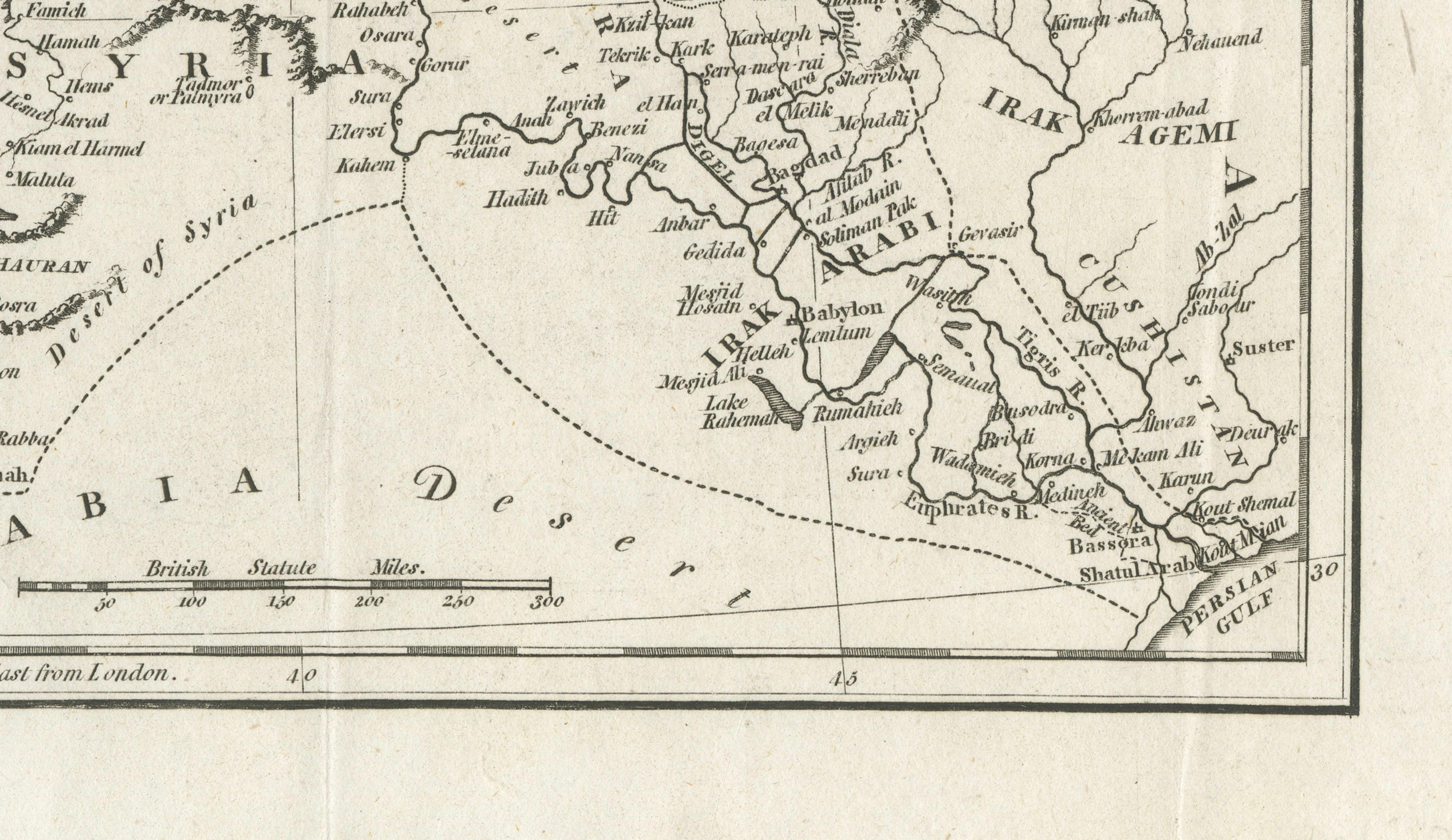
This map is particularly appealing for its breadth: Cyprus, the Levantine coast, the deserts of Arabia, and the fringes of Persia are all included within a single balanced composition. It speaks not only to collectors of antique maps, but also to those interested in the historical foundations of today’s Middle East, offering context to regions that remain central in global history and culture.
This is an original antique engraving, not a reproduction. All items we offer are authentic period works of art over 100 years old. The map is sold unframed; any framed images are shown for presentation and interior inspiration only and may not always be to scale.
Condition: Good overall condition with age-related toning and light creasing consistent with age. The engraving remains crisp and well-defined. Some minor wear to the margins and faint handling marks visible.
Framing tips: This map benefits from a refined presentation. A dark walnut or black frame with a generous off-white mat will elevate the fine engraving and create a strong visual presence. For a more contemporary look, a thin bronze or black frame with a clean museum mount works particularly well.
Keywords: Ottoman Empire map, Turkey in Asia, Anatolia, Syria, Mesopotamia, Middle East antique map, Black Sea, Cyprus, Levant, Armenia, Iraq, Persia, 19th century map, antique engraving, historical geography, British cartography, early modern borders, Middle East history
Technique: Steel engraving
Maker: British School, circa 1830