About this sheet
Classical Greece Map — Græcia Antiqua, Ancient Cities & Islands, Wilkinson 1819
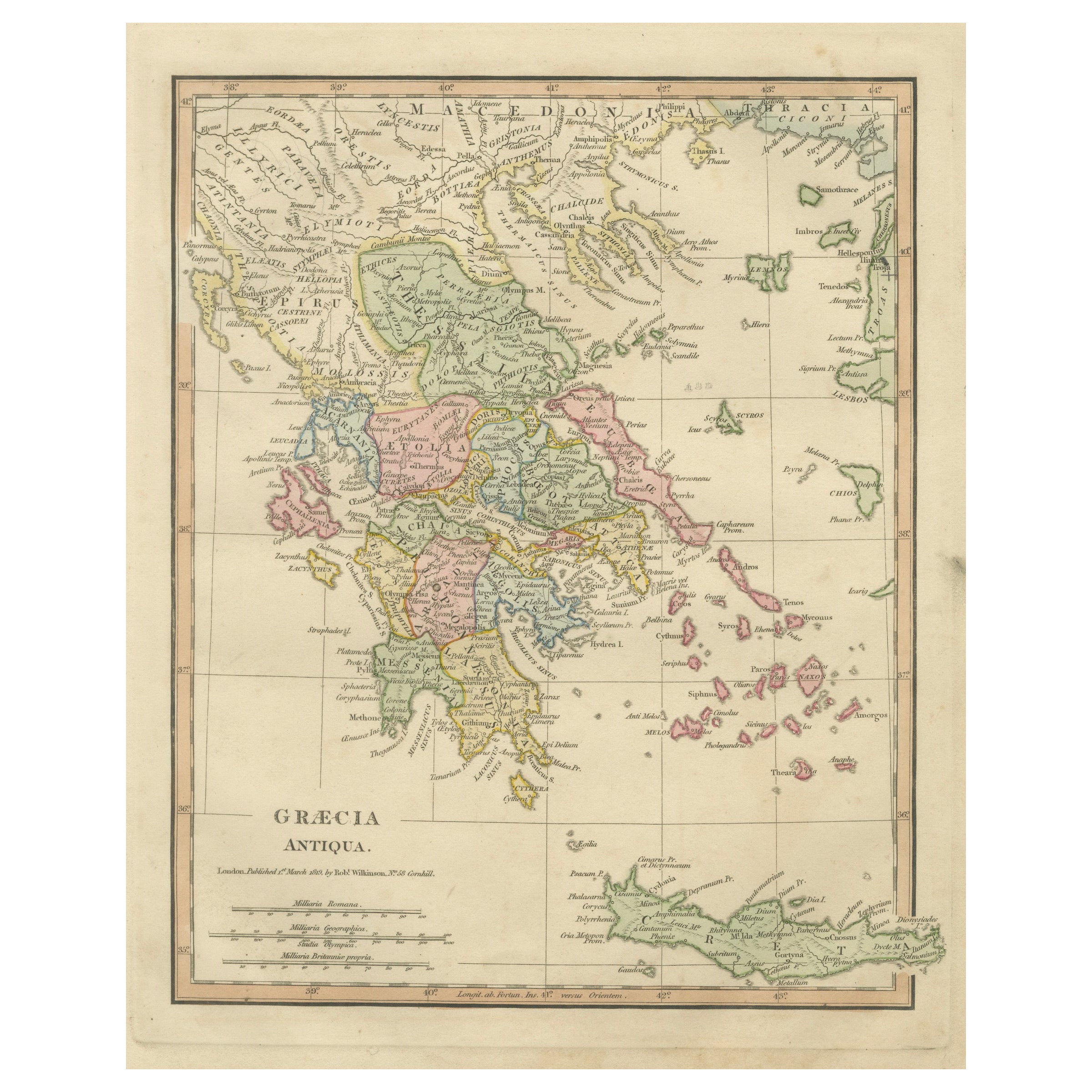
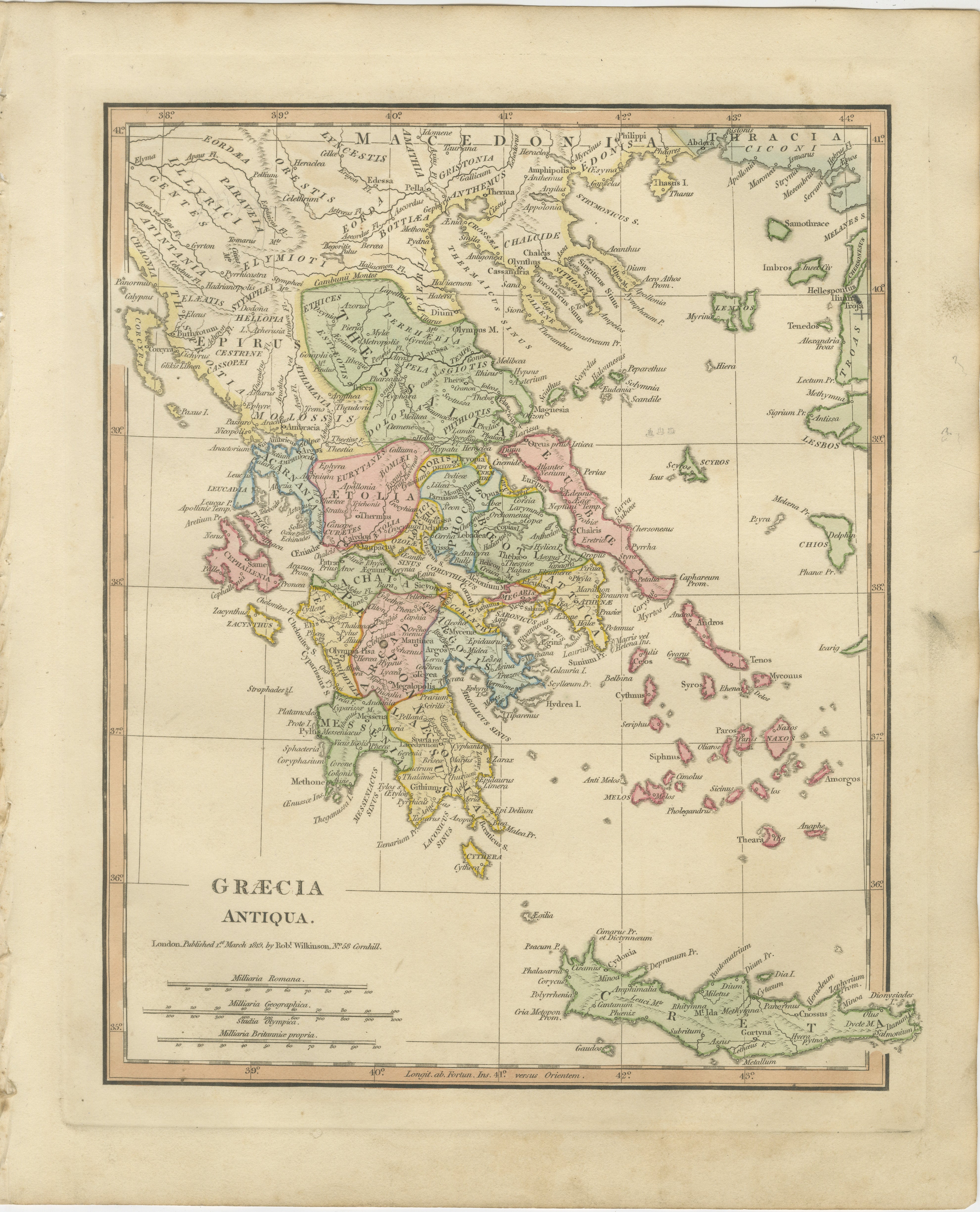
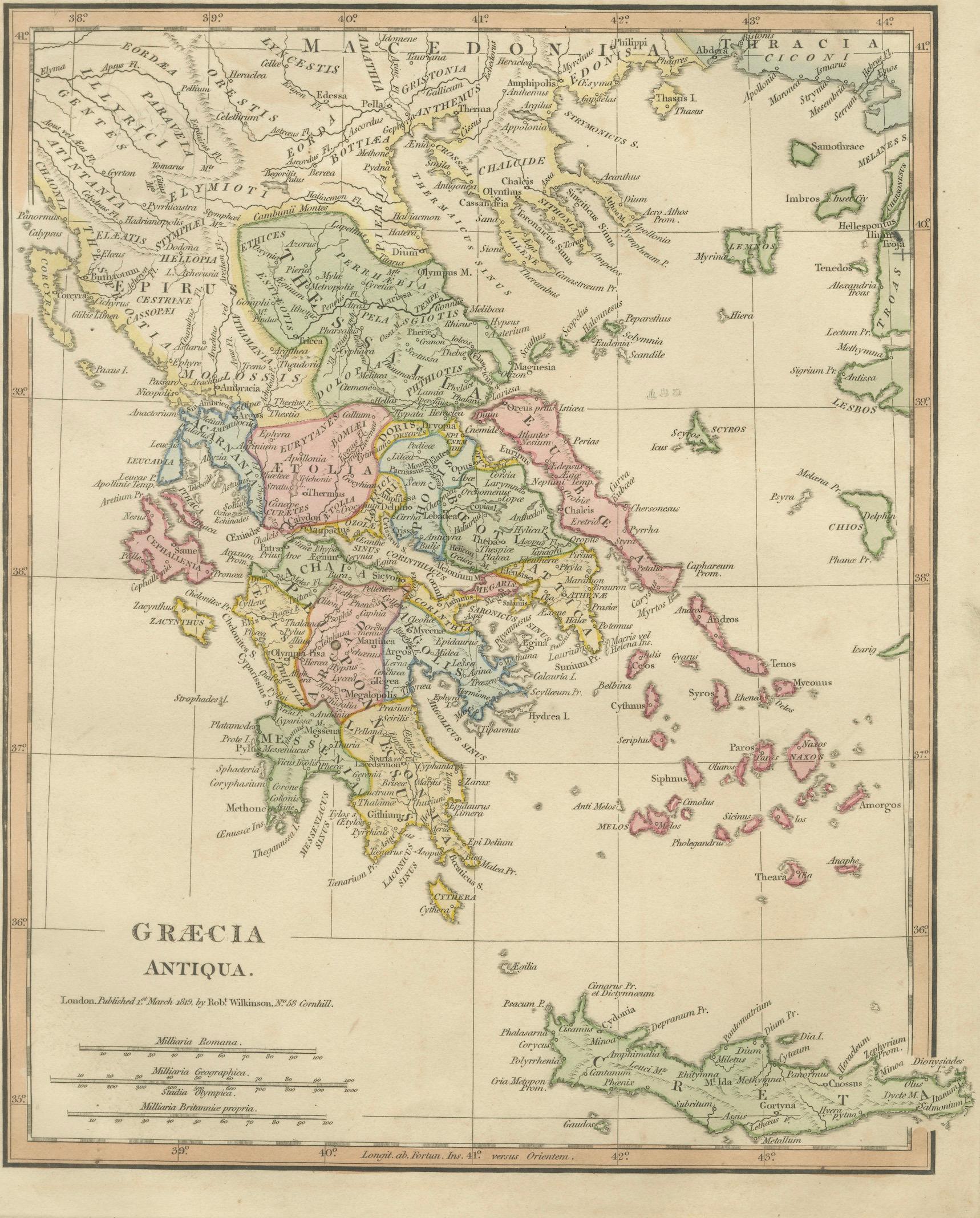
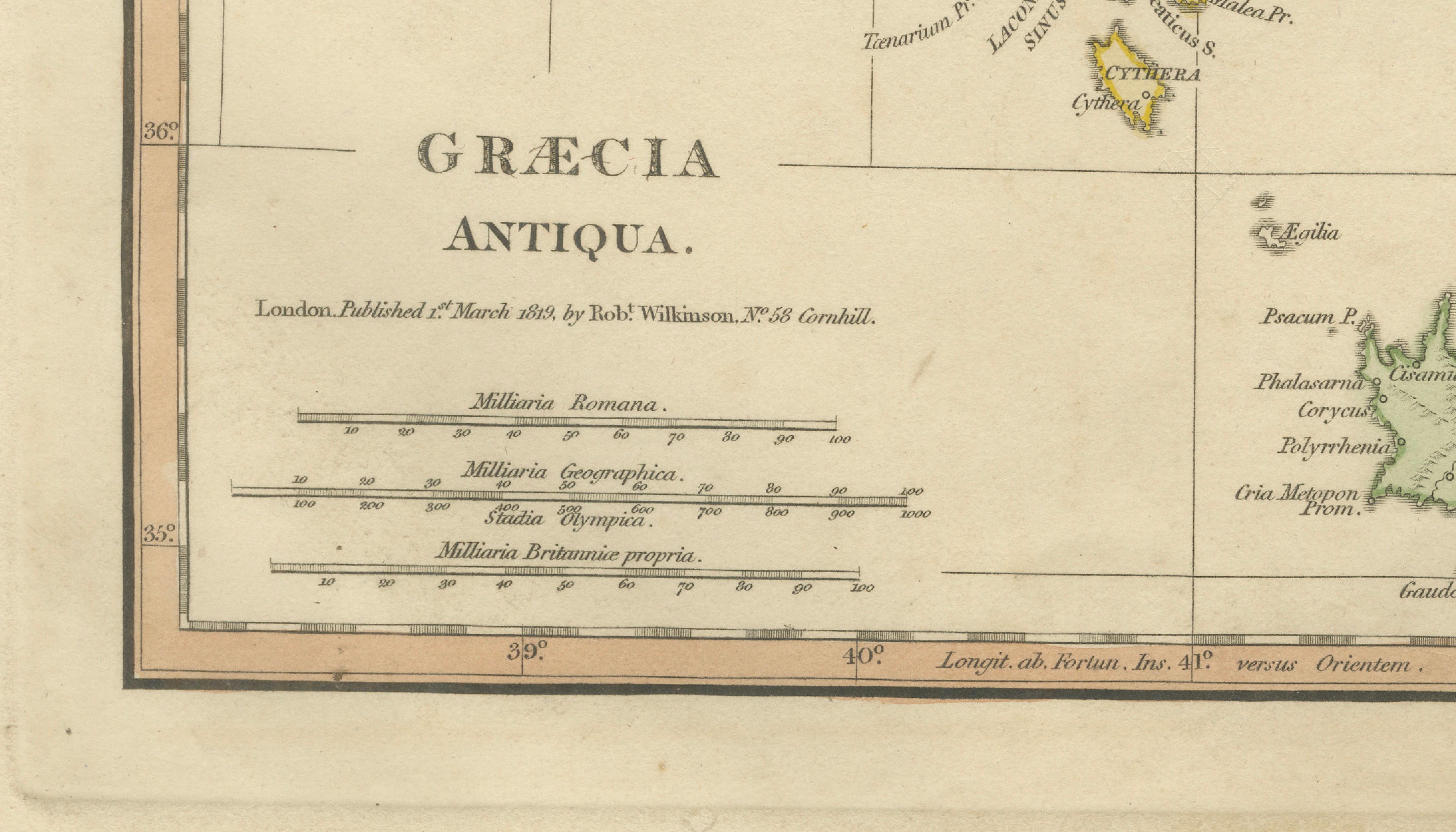
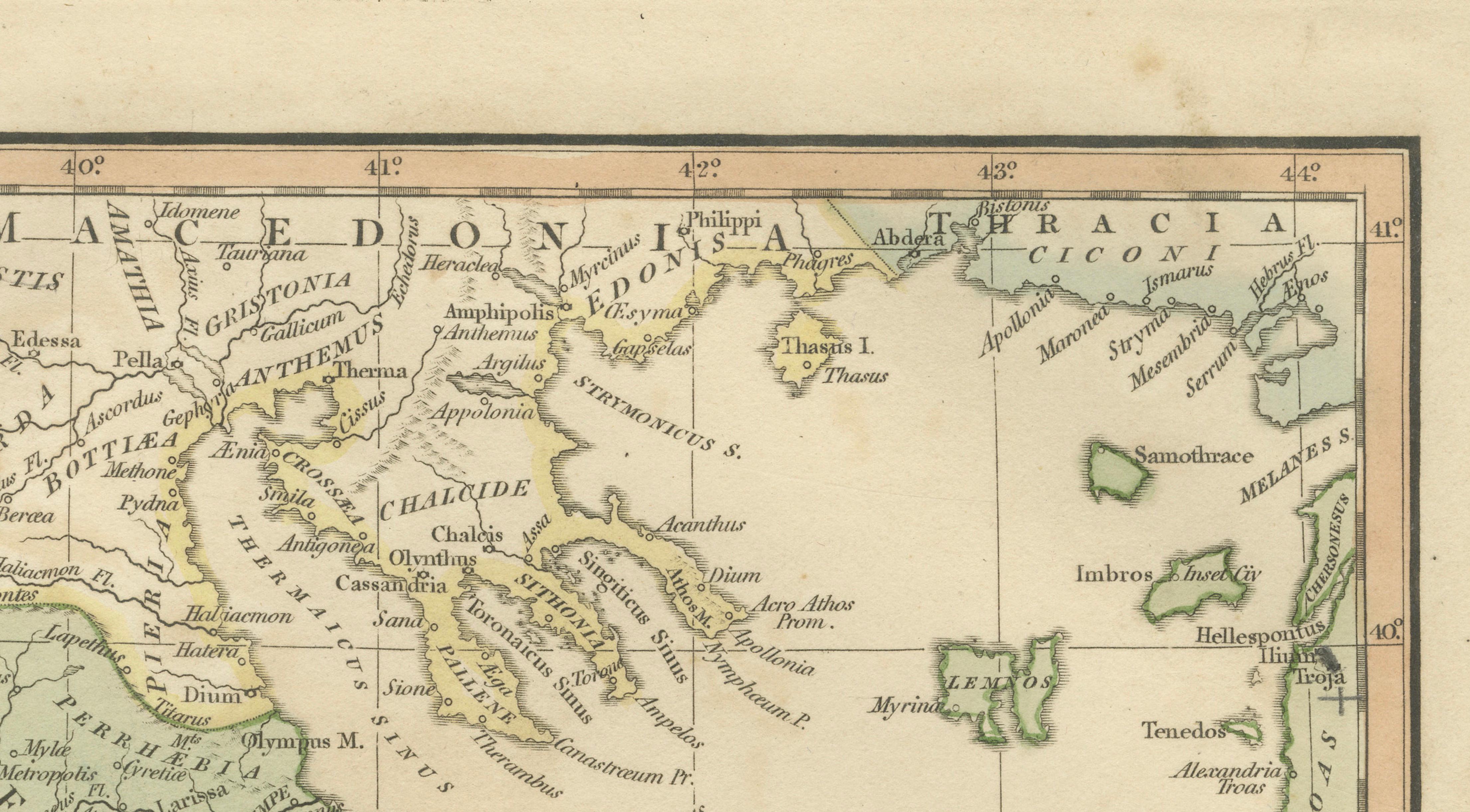
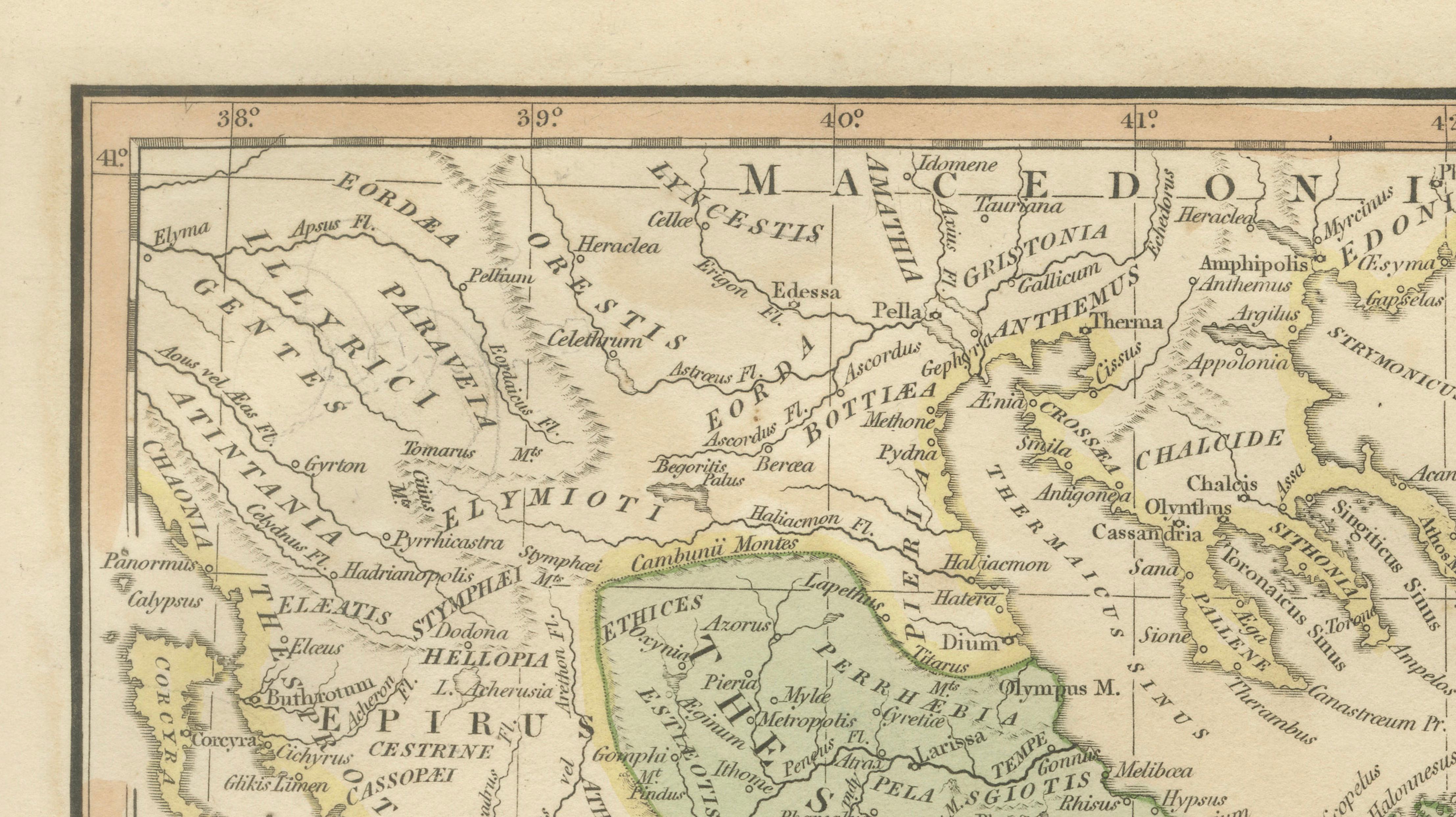
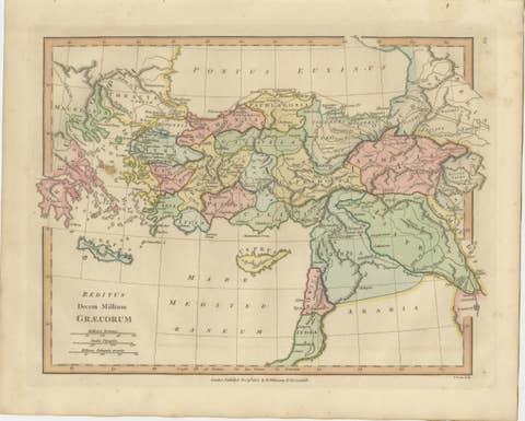
A beautifully engraved and hand-colored map titled *Græcia Antiqua*, published in London by Robert Wilkinson in 1827, depicting the geography of ancient Greece during the classical period. This finely executed engraving presents the historical regions, city-states, and island networks that formed the foundation of Greek civilization and its enduring cultural legacy.
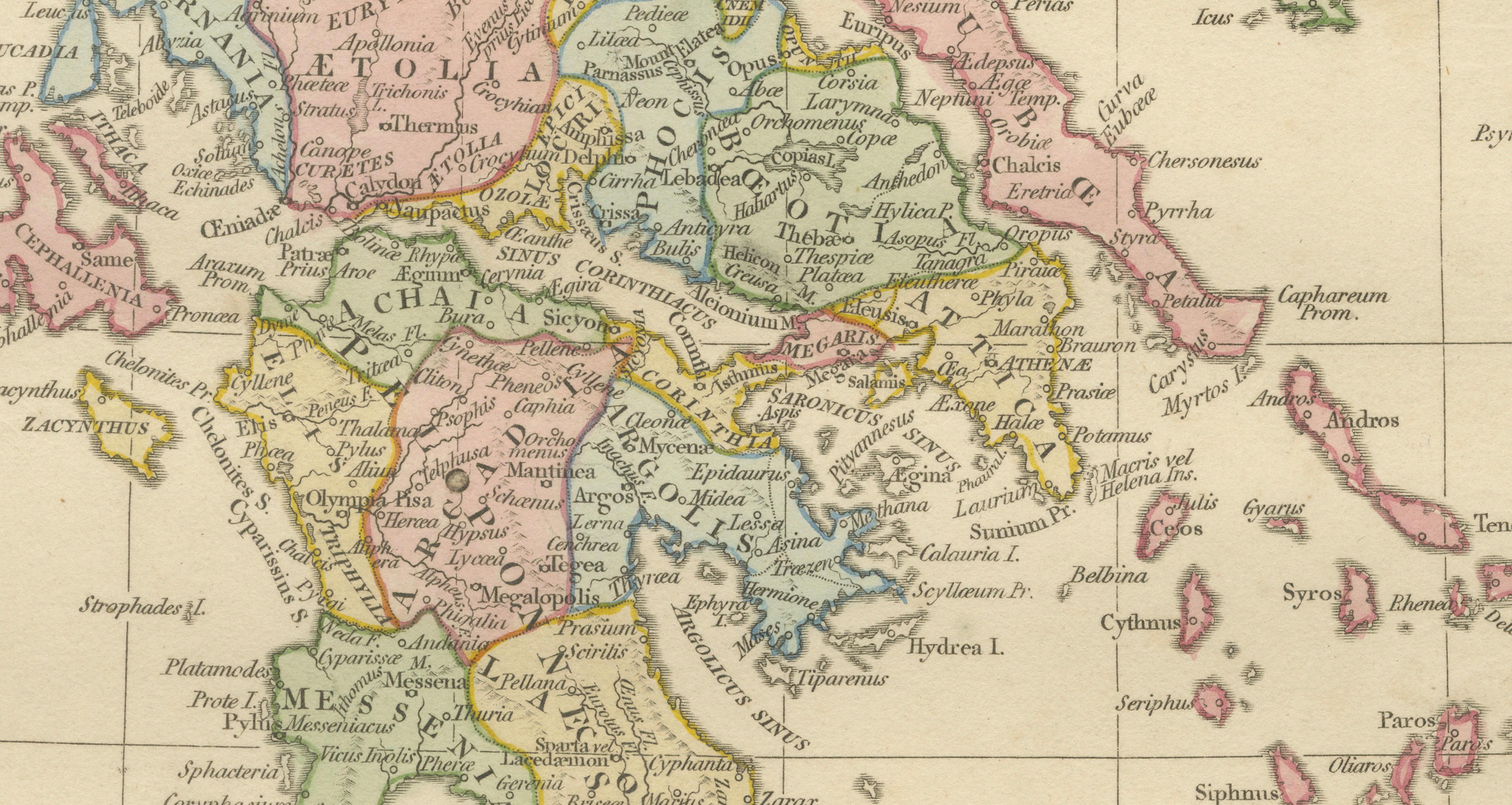
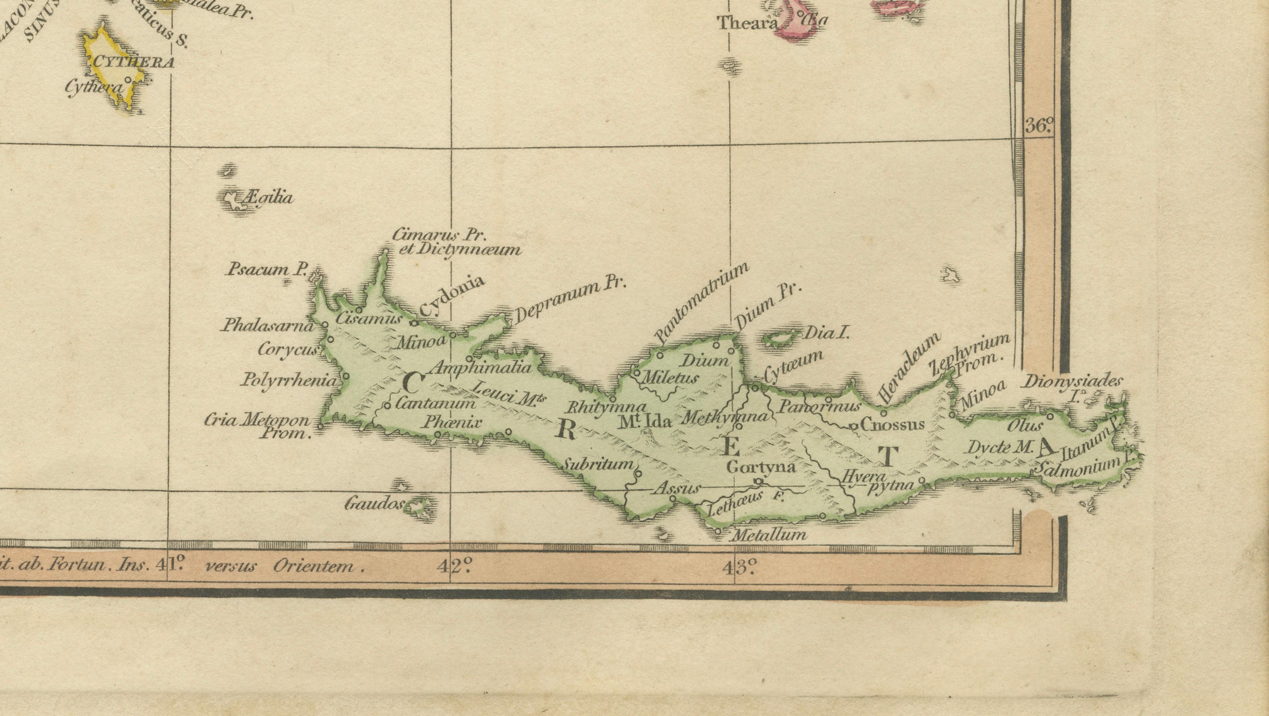
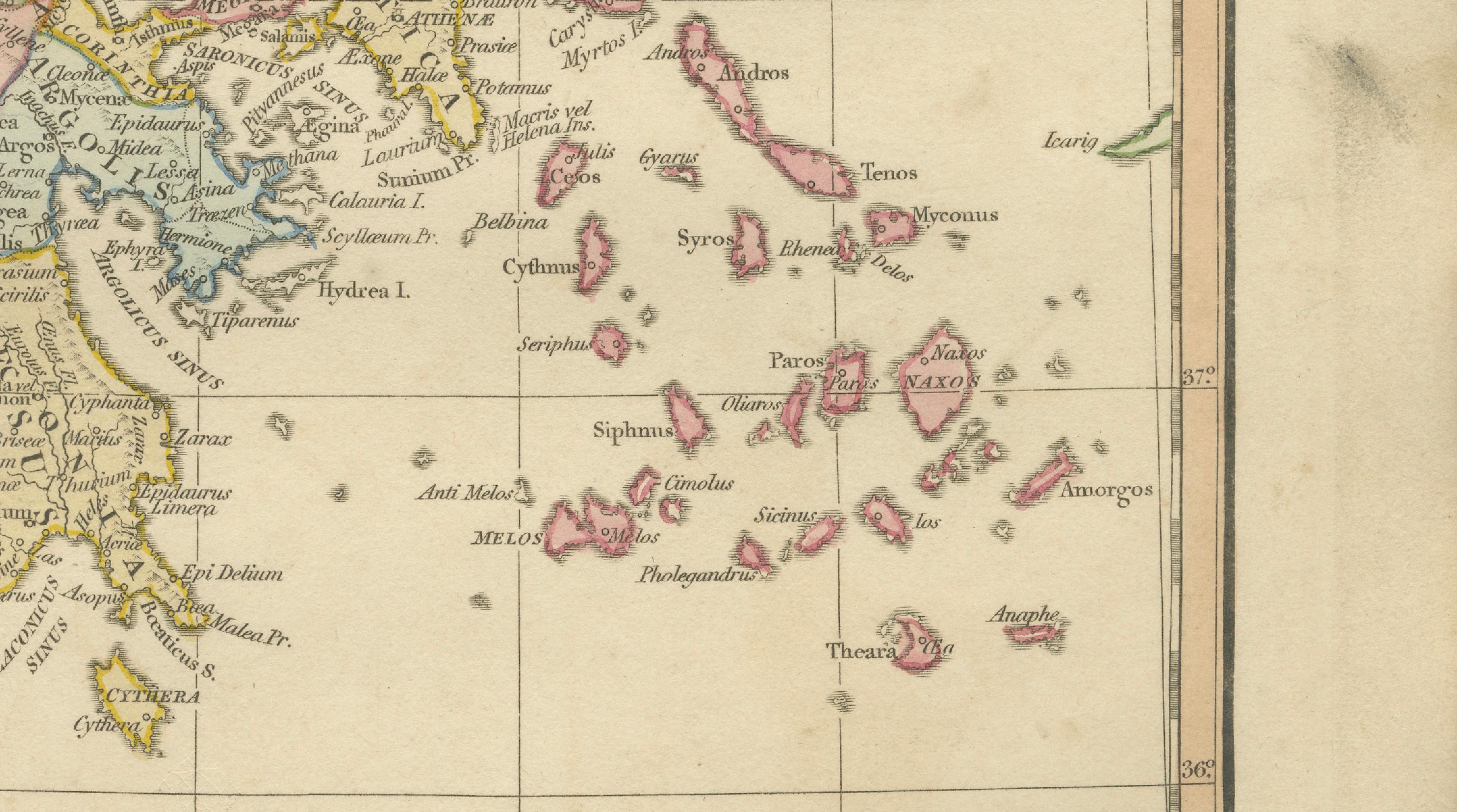
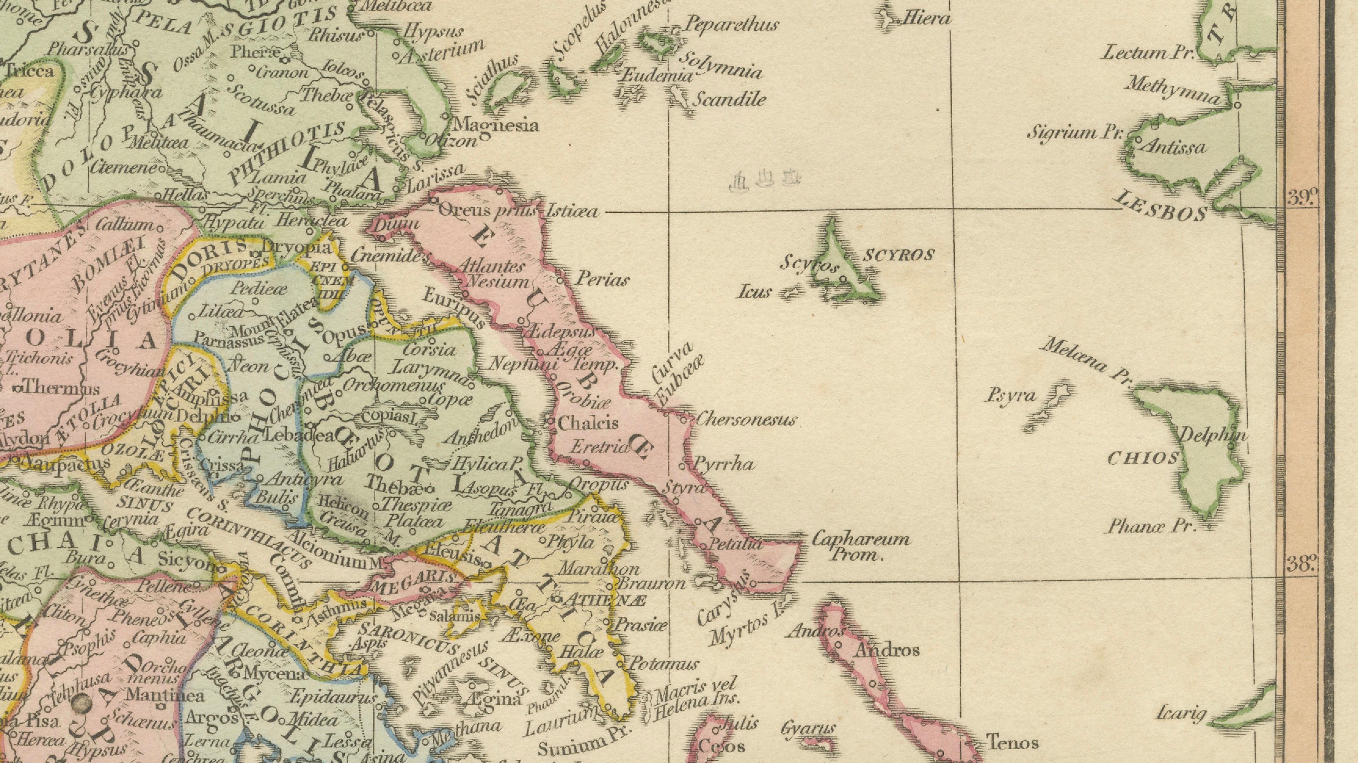
The map illustrates mainland Greece in remarkable detail, including Attica, Boeotia, Thessaly, Achaea, Arcadia, Laconia, and Messenia, alongside key urban centers such as Athens (Athenae), Sparta (Sparta), Corinthus, Thebae (Thebes), Delphi, and Argos. Delicately applied hand coloring distinguishes ancient political regions, allowing viewers to understand the fragmented yet interconnected nature of the Greek world.
Surrounding islands are shown extensively, including Euboea, Lesbos, Chios, Rhodes, Crete (Creta), and the Cyclades, highlighting Greece’s maritime character and the importance of seaborne trade and colonization. The map also reflects classical geographic knowledge of neighboring regions such as Epirus and Macedonia, reinforcing the broader historical landscape of Hellenic antiquity.
Wilkinson’s classical maps are admired for their refined engraving style, balanced typography, and elegant pastel palette. Combining scholarly clarity with decorative sophistication, this piece functions equally as a historical reference and as a striking interior design element suited to library, study, or gallery settings.
Condition: Good antique condition with age-related toning and light handling wear. Minor marginal wear and faint discoloration consistent with early nineteenth-century paper. Plate mark visible.
Framing tips: Display in a dark walnut or antiqued gilt frame with a warm ivory mat. A wide mat border enhances the pastel provincial coloring and emphasizes the fine engraved detail.
Keyword block:
Græcia Antiqua, ancient Greece map, classical Greece cartography, Attica, Athens Athenae, Sparta Laconia, Corinthus, Thebae Thebes, Delphi oracle, Thessaly antiquity, Arcadia, Boeotia, Peloponnesus, Macedonia ancient, Epirus, Aegean Sea islands, Cyclades, Crete Creta antiquity, Rhodes, Lesbos, Chios, Euboea antique map, Greek city states map, Mediterranean antiquity, classical atlas engraving, Roman era geography Greece, Wilkinson London atlas, early nineteenth century hand-colored engraving.
Technique: Hand-colored engraving
Maker: Robert Wilkinson, London, 1827