About this sheet
Antique Ottoman Empire Map, Turkey Balkans Arabia, Starling, 1833
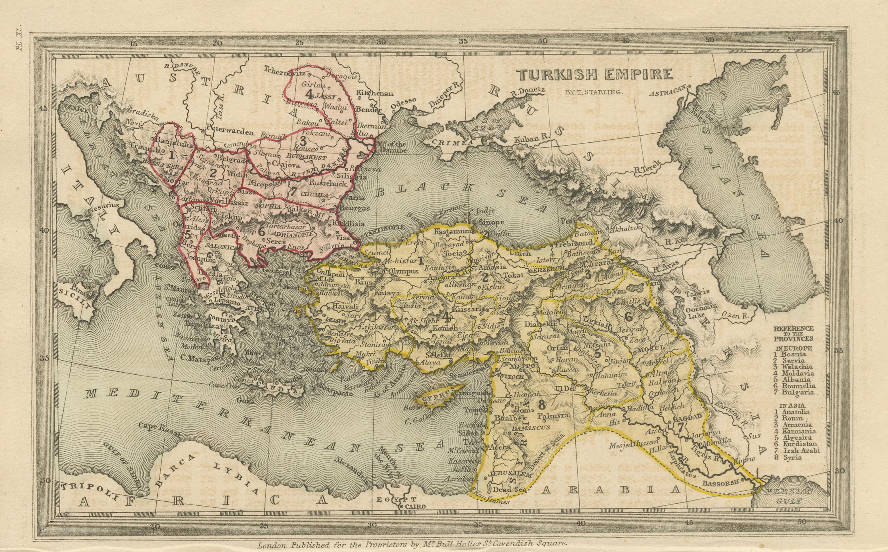
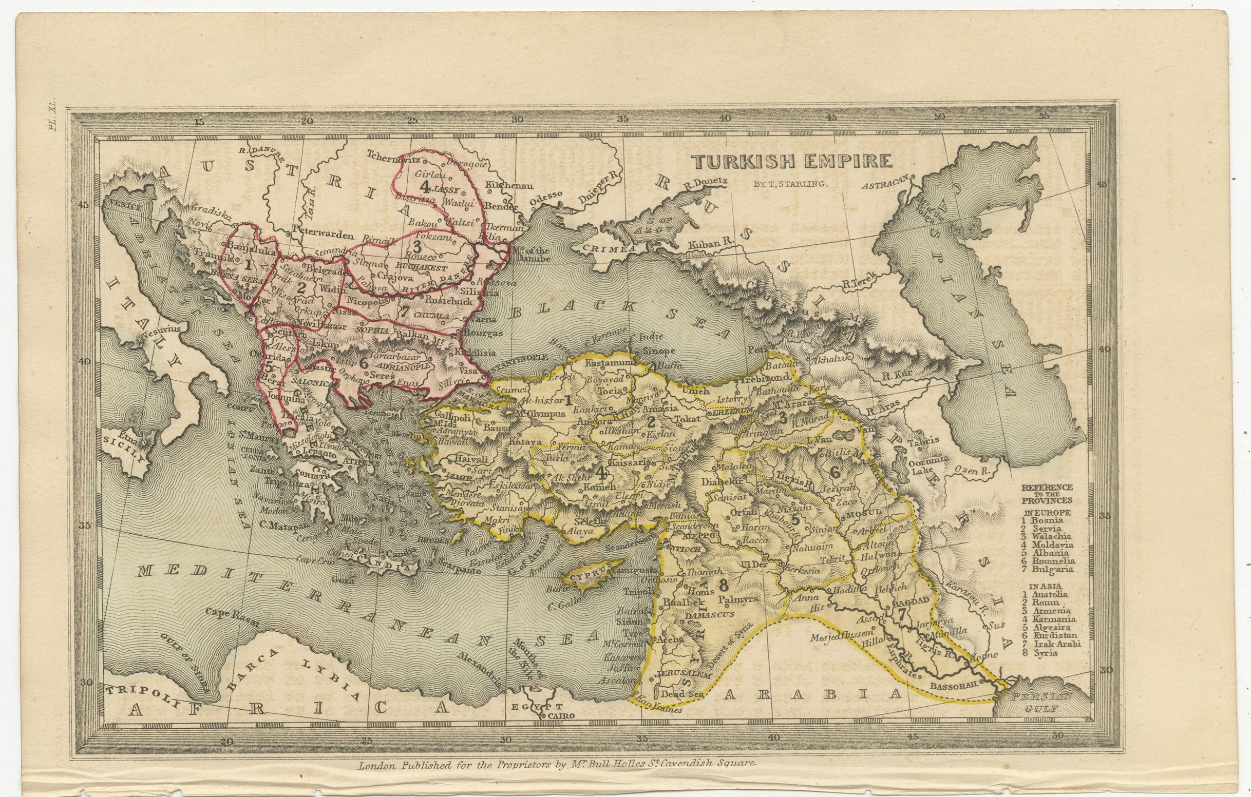
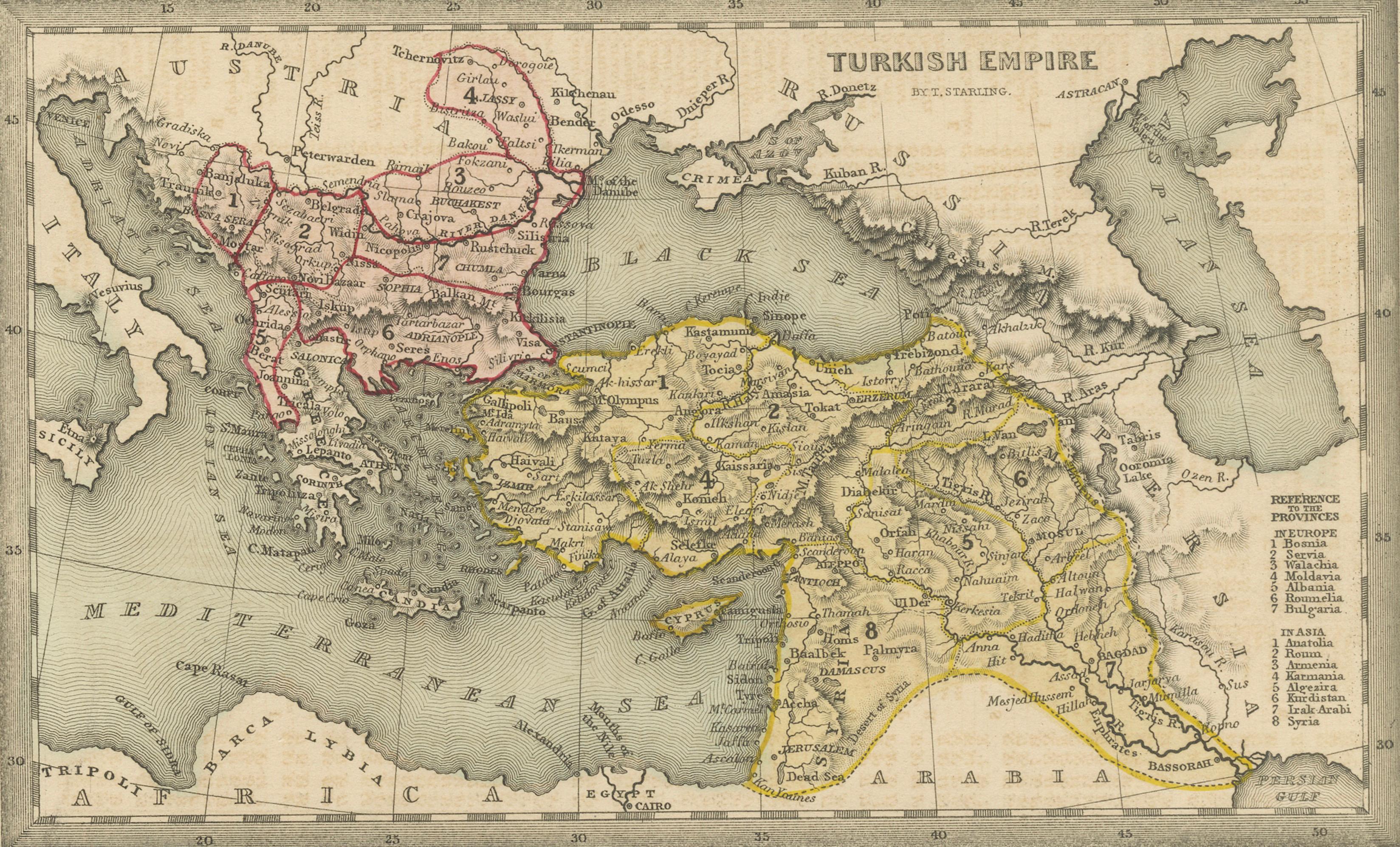
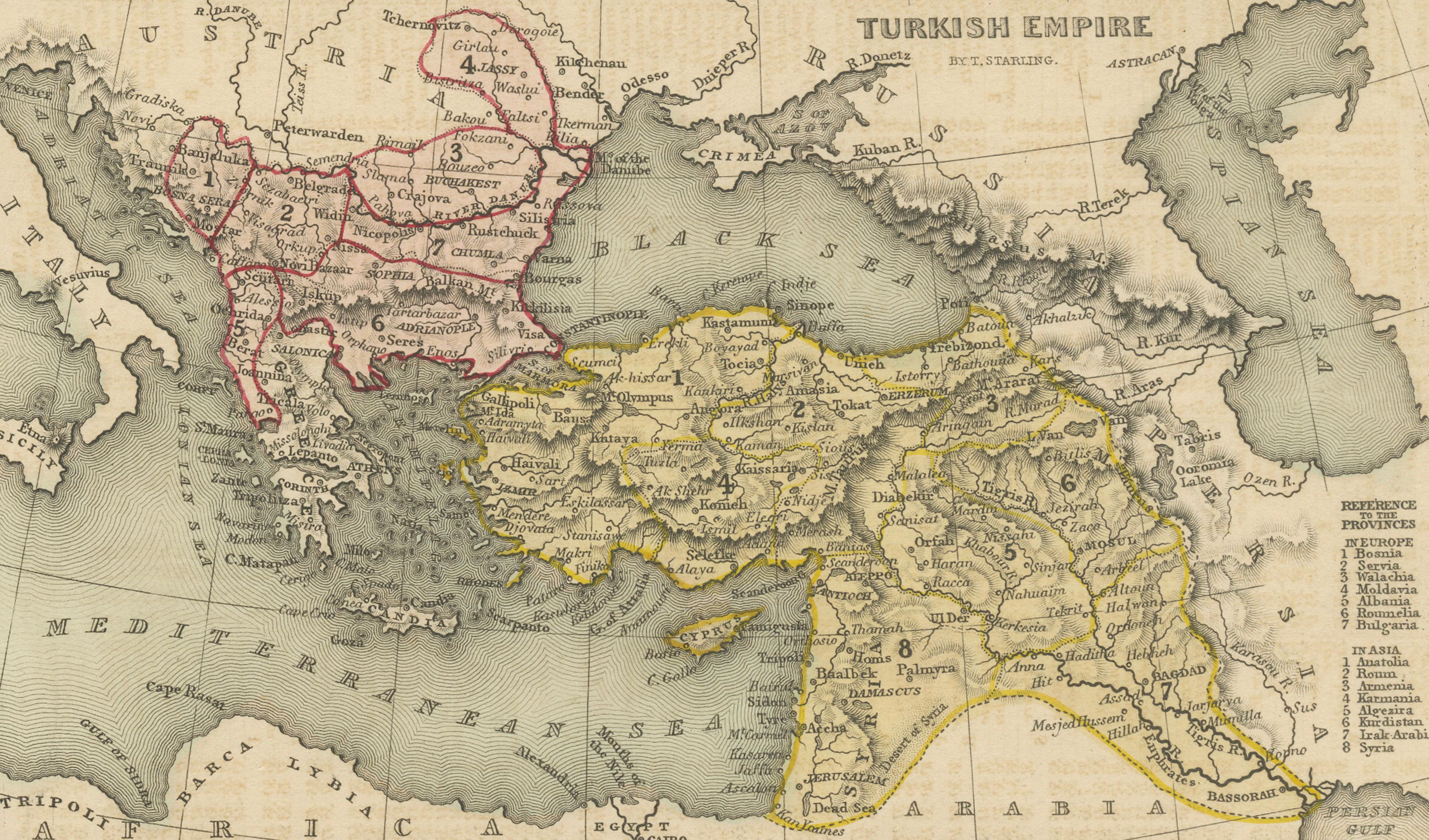
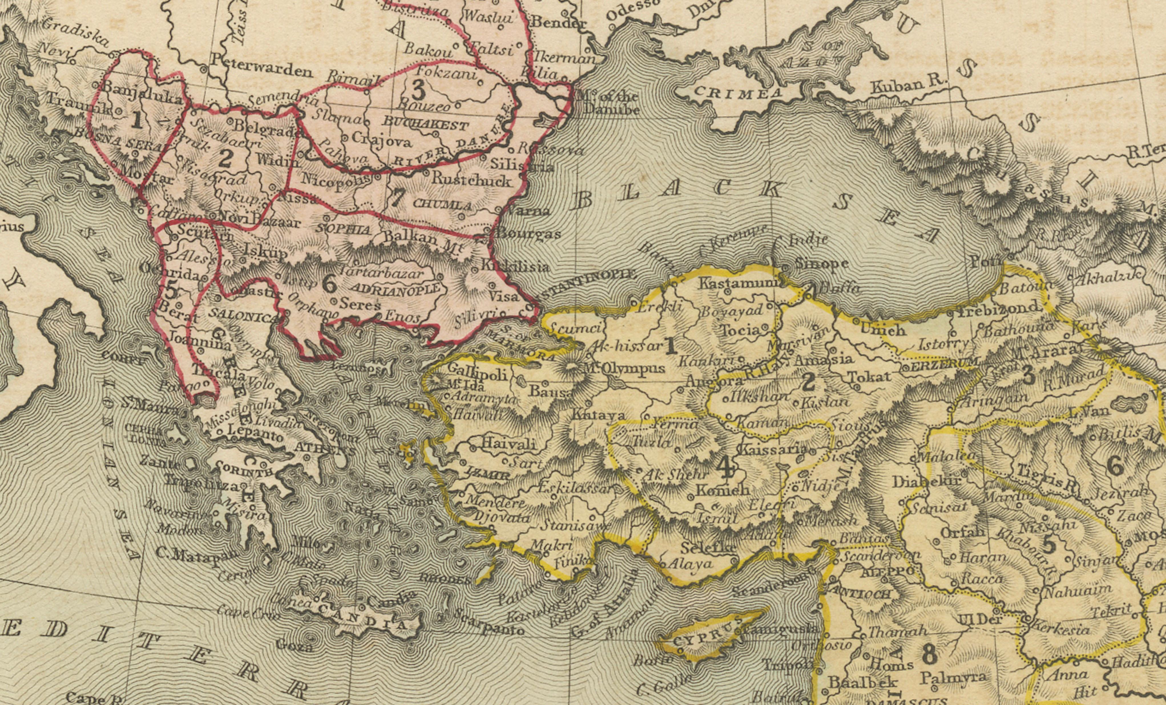
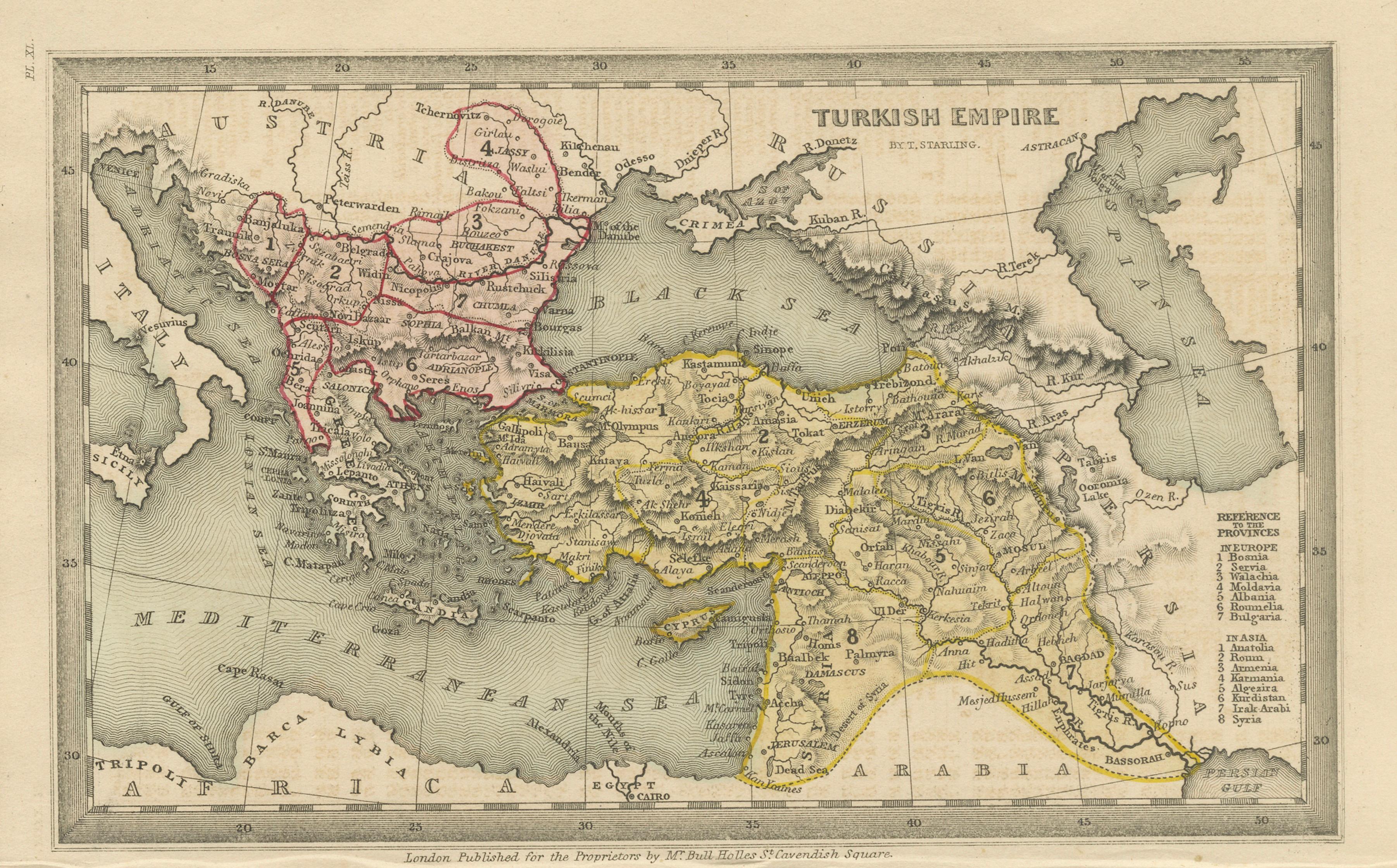
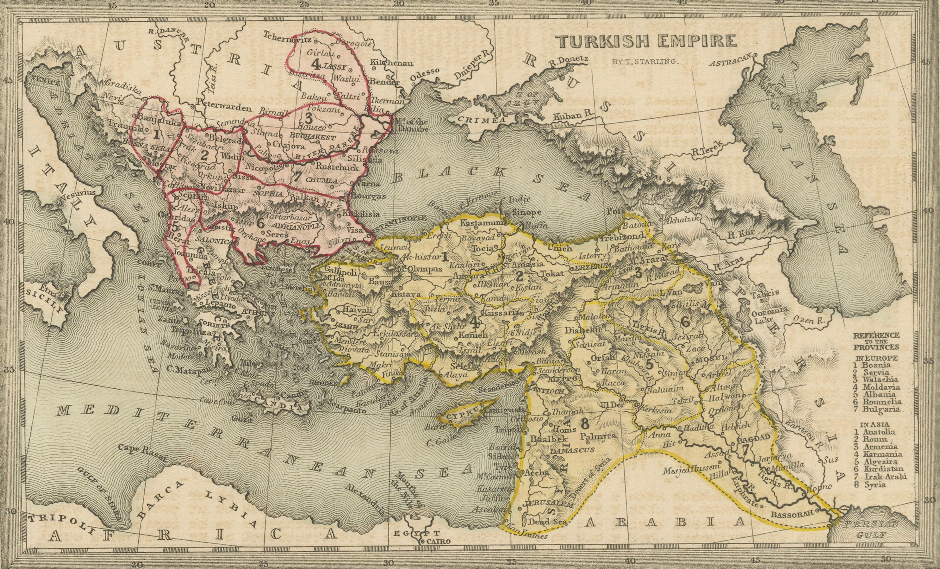
A finely engraved and historically rich miniature map of the Ottoman Empire, drawn by Thomas Starling and published in London in 1833 for The Geographical Annual or Family Cabinet Atlas. This compact yet detailed composition captures the vast territorial extent of the Ottoman world during a pivotal period of political and geographic transformation.
The map spans a broad region from the Balkan States in Southeast Europe across Anatolia and into the Middle East, including present-day Greece, Turkey, Syria, Iraq, Armenia, and parts of Georgia. The Mediterranean, Black Sea, and Caspian Sea anchor the composition, providing a clear geographic framework for the empire’s reach.
Hand-colored outlines distinguish the administrative divisions of the empire, with red highlighting the European provinces and yellow marking the territories in Asia. A detailed reference table on the right identifies key regions such as Wallachia, Albania, Anatolia, Armenia, Kurdistan, and Mesopotamia, reflecting the complex administrative structure of the Ottoman state in the early 19th century.
The engraving is notable for its fine linework and dense geographic information, characteristic of British atlas production of the period. Despite its relatively small scale, the map offers a remarkable level of detail, making it both an informative historical document and a highly decorative object.
Maps of the Ottoman Empire remain particularly sought after for their geopolitical significance and visual appeal, especially when they include both European and Middle Eastern regions in a single composition. This example is especially attractive due to its clear hand coloring and balanced layout.
This piece is ideal for collectors of antique maps, Ottoman history, and Middle Eastern cartography, and works exceptionally well in both traditional and contemporary interiors.
Note: The print is sold unframed; any framed images are shown for presentation and interior inspiration only.
Condition: Good condition with age-related toning and light surface wear. Minor creasing and faint discoloration to the margins, consistent with age. Plate mark not present, as issued. Overall a clean and attractive example with strong original hand coloring.
Framing tips: Best presented in a dark walnut or black frame with a wide ivory mat. This map works particularly well in a warm, atmospheric interior or a study setting, where the fine detail and subtle coloring can be appreciated.
Technique: Steel engraving with original hand coloring
Maker: Thomas Starling, London, 1833