About this sheet
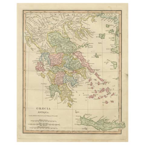
Antique Map of Ancient Greece – Classical Balkans & Aegean, Engraving c.1818

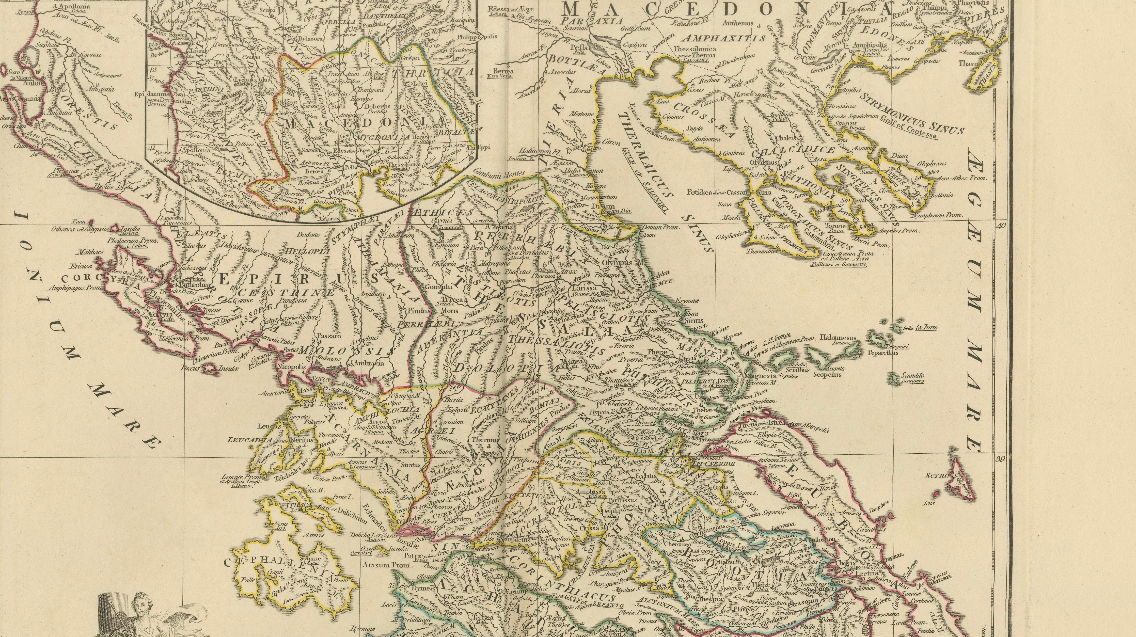
Elegant antique map depicting ancient Greece and the classical Balkans, extending from Epirus and Macedonia through Thessaly, Attica, the Peloponnese, and the Aegean islands. The map presents the Greek world as understood in classical antiquity, with regions, cities, rivers, and coastlines engraved in fine detail and highlighted with subtle original outline color.
The map is offered unframed, enabling custom framing to personal or interior preferences.
The composition is visually dynamic yet balanced, with the sweeping forms of the Greek mainland and islands creating strong rhythm across the sheet. Latin place names and ancient regional divisions lend intellectual depth, while the restrained engraving and calm palette give the map a distinctly architectural quality well suited to refined modern interiors.
The map is based on the work of Jean-Baptiste Bourguignon d’Anville, whose reconstructions of the ancient world established the foundations of modern historical cartography. D’Anville’s method relied on critical analysis of classical sources rather than decorative speculation, resulting in maps valued for clarity, proportion, and enduring relevance.
This example is the English edition published in London by Laurie & Whittle, issued circa 1818 and bound in the atlas A Complete Body of Ancient Geography. Produced during the neoclassical period, the map reflects early nineteenth-century taste for order, balance, and scholarly precision.
The neutral parchment tone, crisp engraving, and generous margins make this sheet particularly effective as wall art in libraries, studies, hallways, and hospitality interiors. It also pairs beautifully with companion maps of Ancient Italy, the Roman Empire, and the Ancient World from the same series.
A timeless and highly decorative representation of classical Greece, combining scholarly authority with strong interior presence.
Condition report:
Good antique condition with light, even toning and gentle age-related wear. Original outline color remains clear and balanced. Central fold as issued. No major tears, losses, or repairs observed.
Framing tips:
Best presented in a dark walnut, blackened oak, or ebonized frame with a wide ivory or soft parchment mat. Museum or UV glass recommended. Particularly striking when displayed alongside other classical maps from the series. We sell this map unframed.
Technique: Engraving with original outline color
Maker: Jean-Baptiste Bourguignon d’Anville (after), published by Laurie & Whittle, London, circa 1818
Keywords:
antique greece map, ancient greece map, classical greece map, graeciae antiquae, greek antiquity map, antique engraved map, d’anville map, laurie and whittle, 19th century map, ancient balkans map, aegean islands map, peloponnese antique map, macedonia ancient map, attica antique map, classical history decor, neoclassical wall art, antique map wall decor, interior designer wall art, library wall decor, study wall art, museum style decor, parchment toned art, neutral wall art, scholarly antique map, collectible antique map, framed antique map, enlightenment cartography, british atlas map, elegant antique print, classical antiquity decor, statement wall art