Original antique · The actual sheet photographed · Certificate of authenticity on request · Sold unframed · Worldwide shipping from € 15 (rates)
Date
1861
Sheet size
49 × 61 cm (19.3 × 24.0 in)
Reference
BG-00641
What the condition grades mean
Excellent
Bright and clean, with no faults worth mentioning.
Very good
Only light signs of age, such as faint toning.
Good
Normal signs of age for a sheet of this period: toning, some foxing, small marks or neat old repairs.
Fair
Clear faults such as staining, tears or repairs, priced to match.
Every fault we see is written in the condition note, and the whole sheet is shown uncropped in the photos.
Condition
Very good, general age-related toning. Minor wear. Please review the images for further condition details.
About this sheet
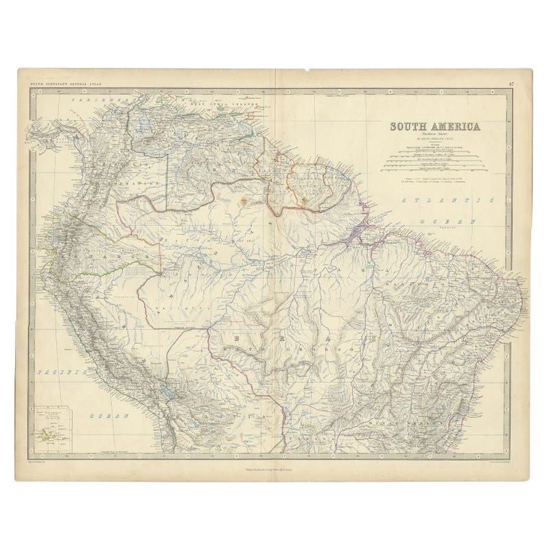
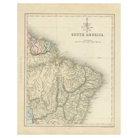
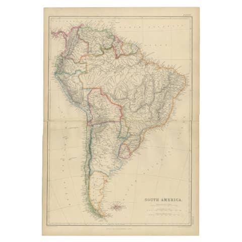
The northern part of South America in 1861, titled "South America (Northern Sheet)", an original engraving with hand outline color from The Royal Atlas of Modern Geography by A.K. Johnston, published by W. and A.K. Johnston of Edinburgh. The sheet is numbered 47 at the upper right.
The map takes in the Pacific coast from Colombia and Ecuador south to Peru and Bolivia, the Caribbean coast, the Guianas, the whole Amazon basin and the Atlantic bulge of Brazil. The rivers of the Amazon and Orinoco systems run across the sheet in fine blue lines, with mountains drawn in hachures, and the national and provincial boundaries are marked in colored outline. A table of scales is set beneath the title at the upper right, and a small inset of the Galápagos Isles occupies the lower left corner. A graduated border frames the sheet.
Alexander Keith Johnston (1804 to 1871) was a Scottish geographer who trained under the Edinburgh engraver James Kirkwood, and the Royal Atlas was among the best of the large British atlases of the mid-nineteenth century.