About this sheet
Antique Map Sweden & Norway, Scandinavia, Robert de Vaugondy, 1750
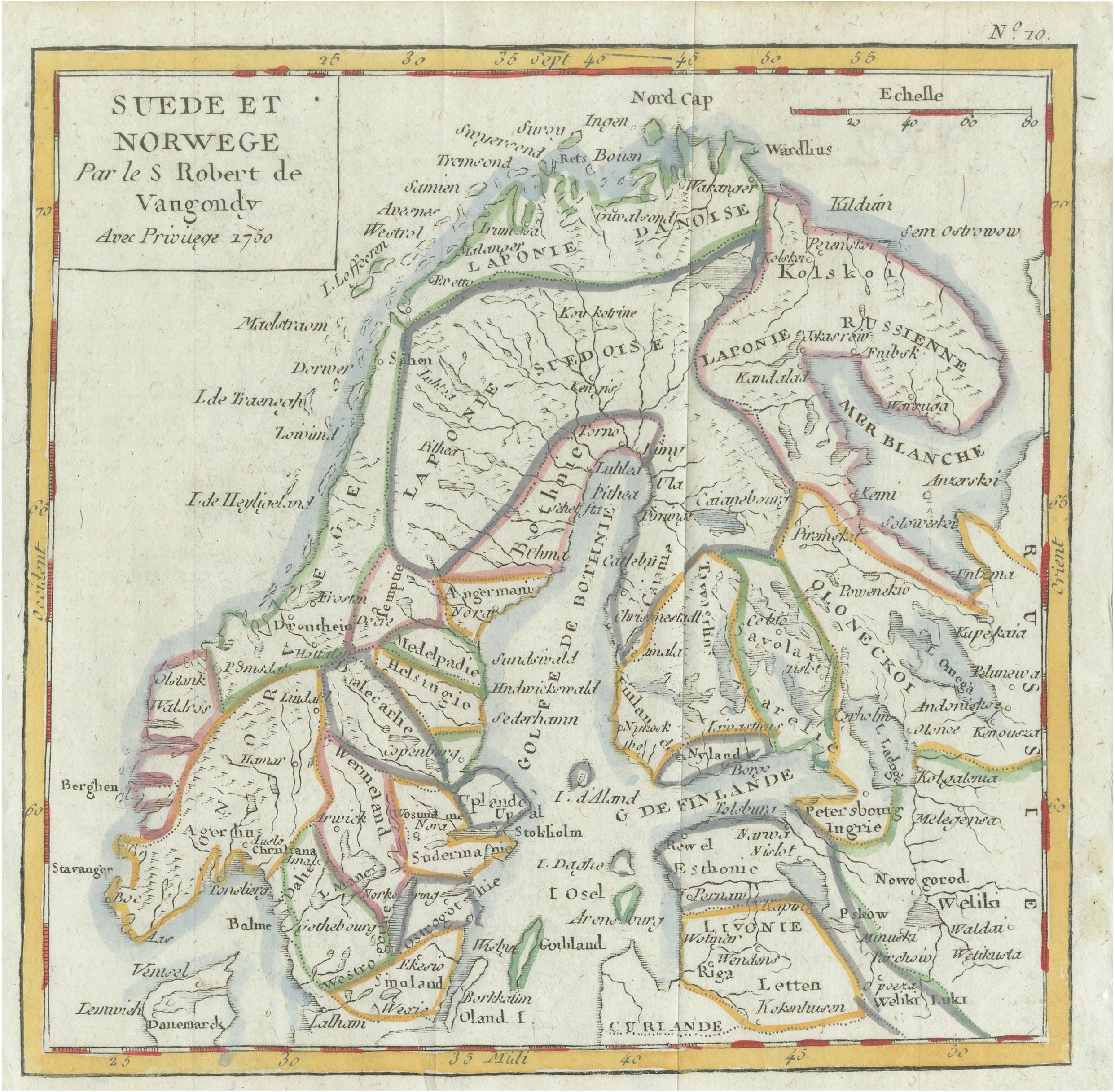
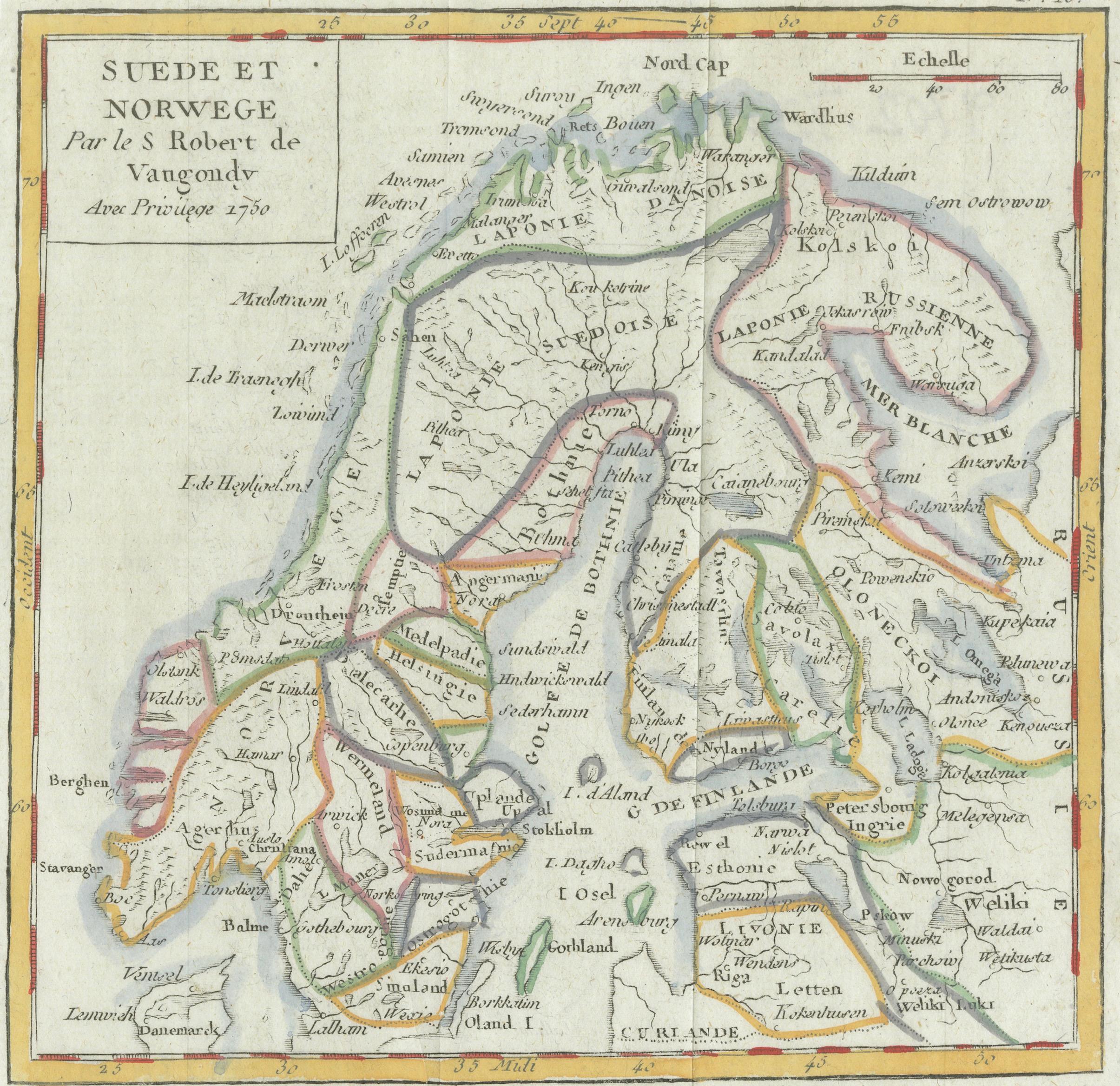
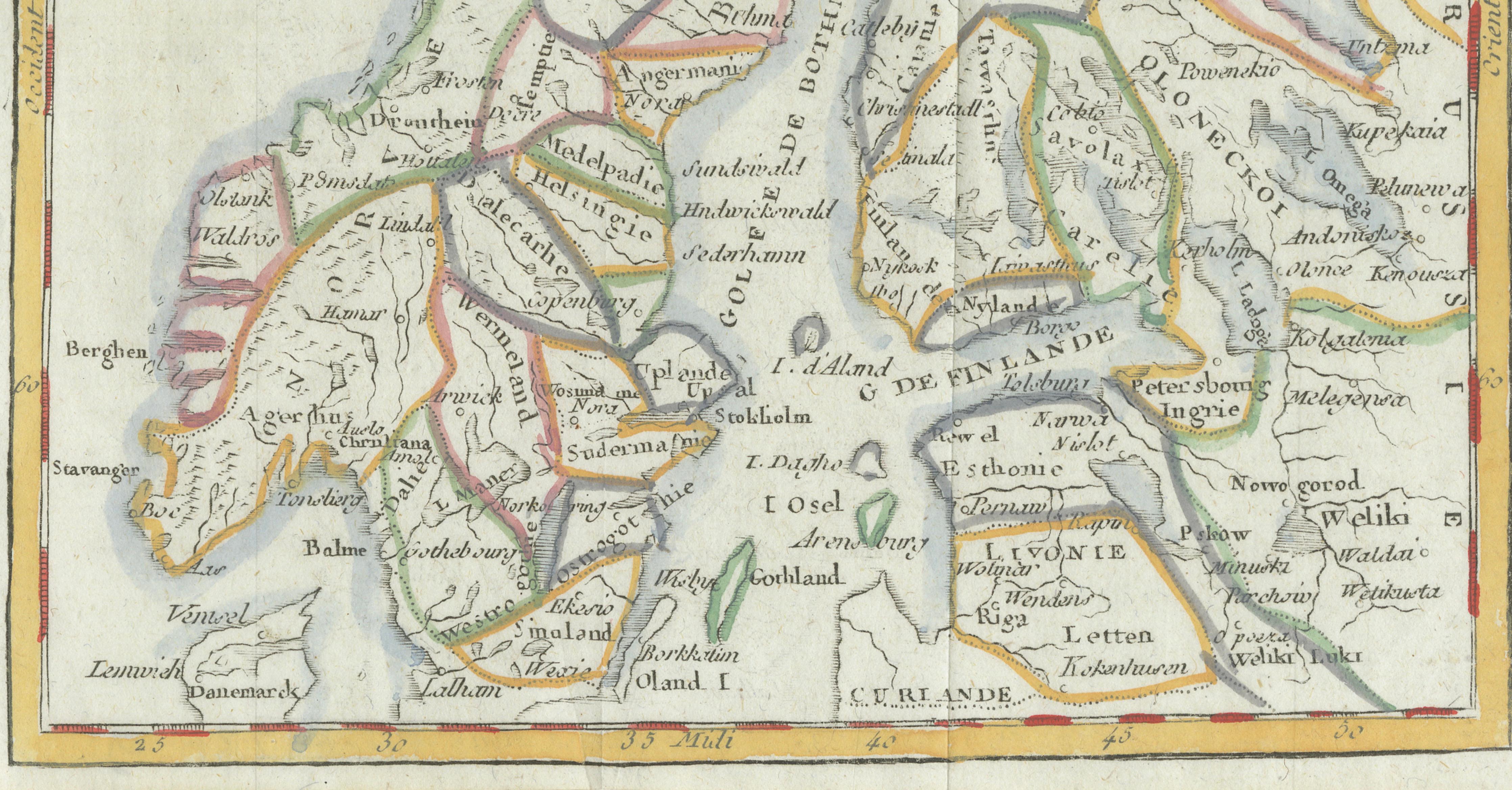
This finely engraved antique map titled “Suede et Norvege” presents an elegant mid-18th-century depiction of Scandinavia, illustrating Sweden, Norway, Finland, and adjoining regions of Russia and Denmark with remarkable clarity and balance. Created in 1750 by the distinguished French cartographer Didier Robert de Vaugondy, one of the leading geographical authorities of Enlightenment-era France, the map exemplifies the precision and refinement that made the Vaugondy family among the most respected mapmakers of the period.
This map is offered unframed, allowing the buyer full freedom of framing choice.
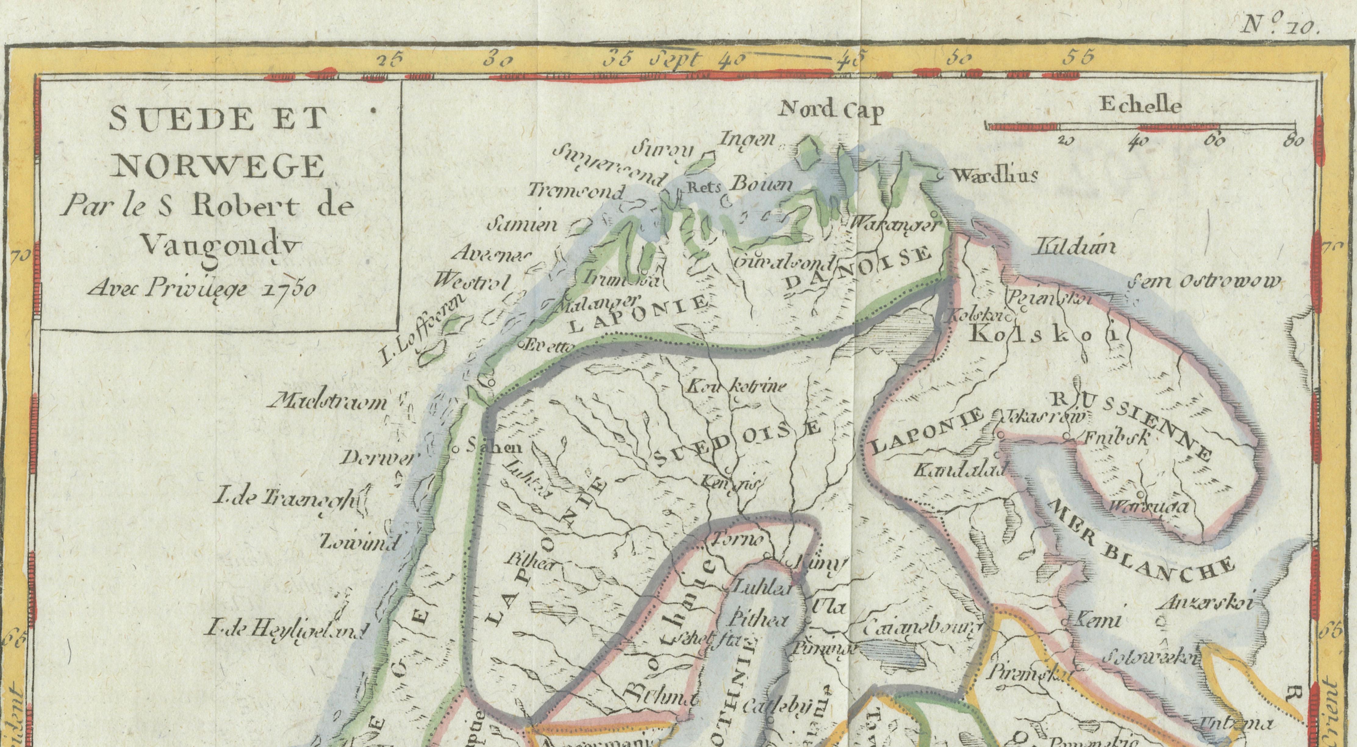
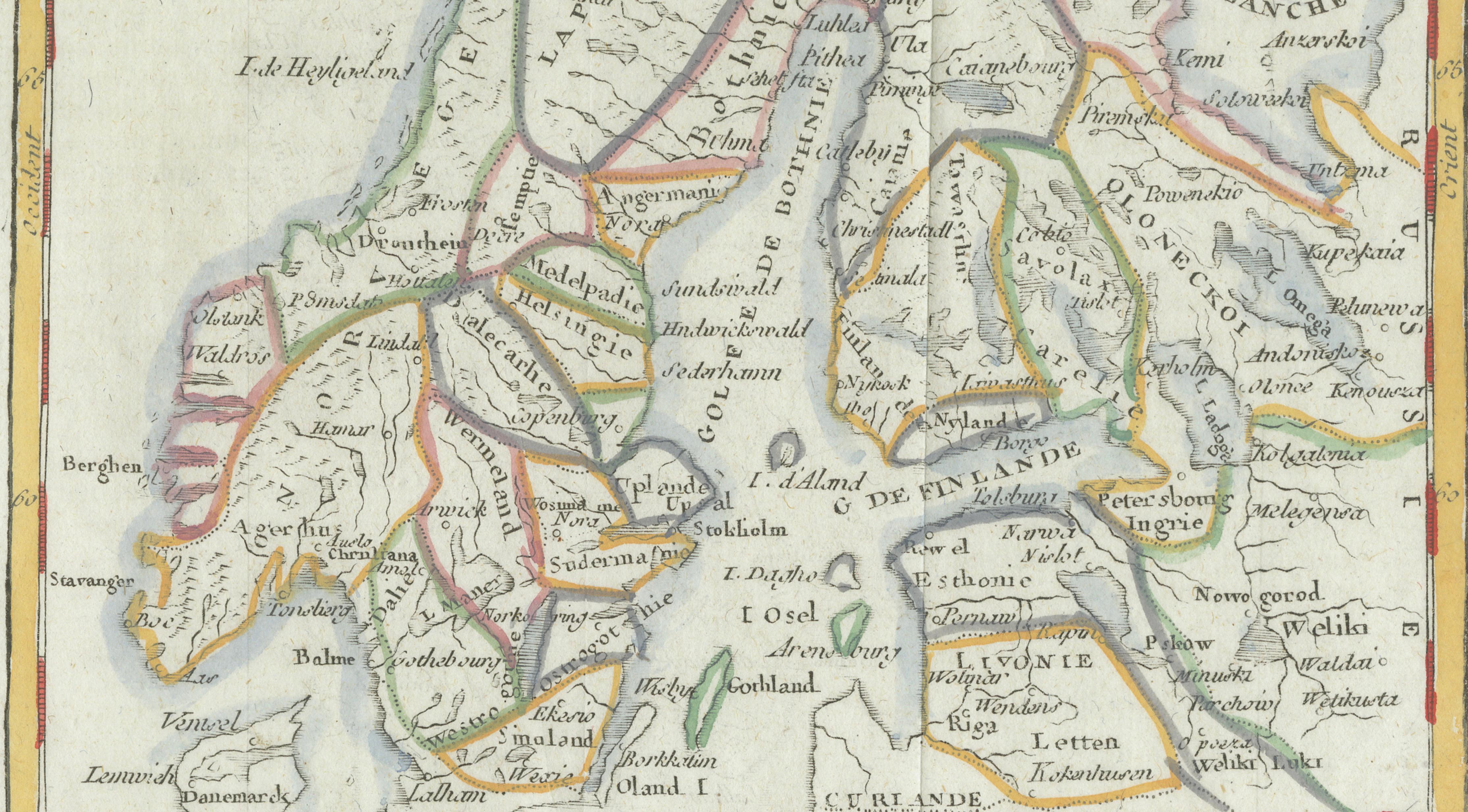
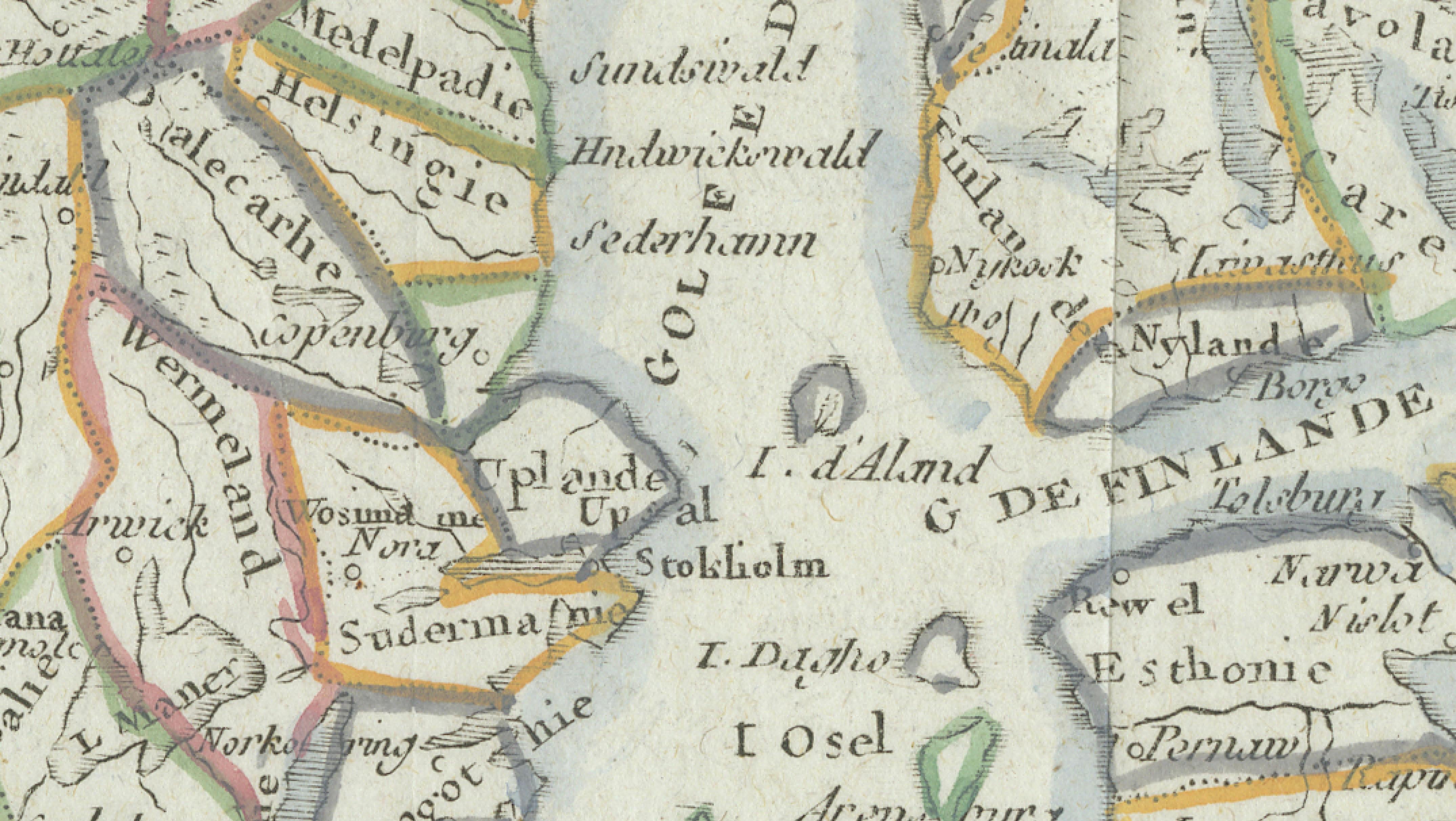
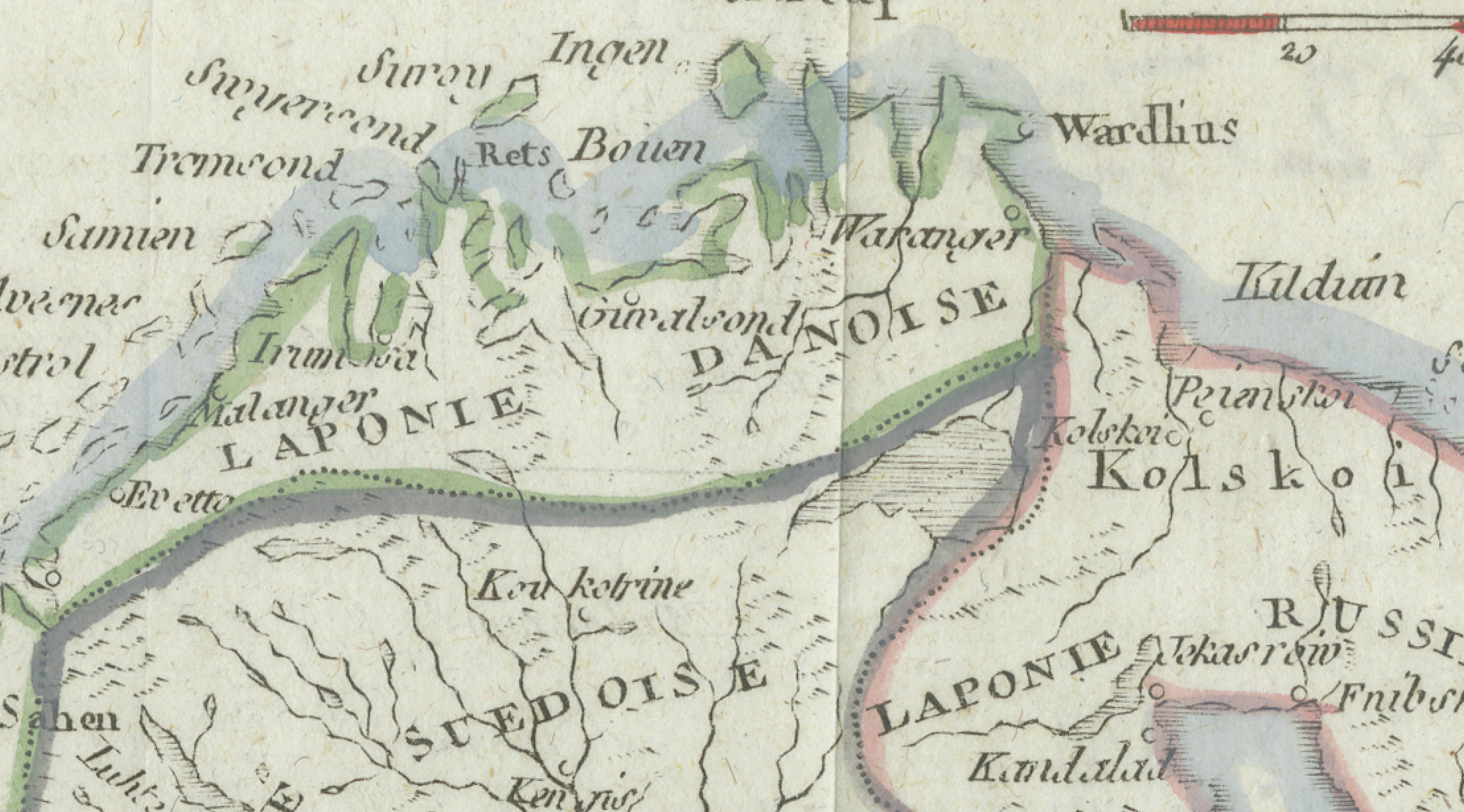
The composition focuses on the Scandinavian peninsula while extending eastward to include parts of Russia and the White Sea (Mer Blanche), and southward toward Denmark and the Baltic regions. Major geographic features such as the Gulf of Bothnia (Golfe de Bothnie), Gulf of Finland (G. de Finlande), and Lapland (Laponie) are carefully delineated. Regional boundaries are enhanced with delicate original hand coloring, allowing political divisions and territories to stand out while maintaining the harmonious aesthetic typical of French cartography.
Produced from a copperplate engraving and issued “Avec Privilège 1750,” the map reflects official publication rights granted under the French royal system, underscoring its authority and contemporary importance. Robert de Vaugondy’s work is known for synthesizing the most accurate geographic knowledge available at the time, combining scientific rigor with refined graphic design. Coastlines, rivers, and settlements are rendered with crisp engraved lines, while the restrained decorative style aligns with the Enlightenment preference for clarity over ornament.
Maps by Robert de Vaugondy were widely used by scholars, navigators, and educated collectors throughout Europe and remain highly desirable today for both their historical significance and decorative appeal. This example offers a strong visual presence, equally suitable for collectors of Scandinavian material, maritime history, or classic French cartography. Its balanced proportions and soft period coloring make it particularly effective as a statement piece within both traditional and contemporary interiors.
Condition: Good condition consistent with age. General age-related toning and light surface wear. Minor marginal irregularities and light handling marks. Colors remain attractive and well preserved. Please study images carefully.
Framing tips: Displays beautifully in a dark walnut or gilded frame with a generous ivory or warm cream mat. A wide mat margin emphasizes the engraved border and enhances the subtle hand coloring, creating a refined gallery presentation.
Technique: Copperplate engraving with original hand color
Maker: Didier Robert de Vaugondy, Paris, 1750