Antique Map of Juan Fernandez Island and Cumberland Bay, Chile - ca.1749
€ 200
Original antique · The actual sheet photographed · Certificate of authenticity on request · Sold unframed · Worldwide shipping from € 15 (rates)
Date
1749
Technique
Engraved
Sheet size
27 × 42.5 cm (10.6 × 16.7 in)
Condition
Fair
Reference
BG-11589-7
What the condition grades mean
Excellent
Bright and clean, with no faults worth mentioning.
Very good
Only light signs of age, such as faint toning.
Good
Normal signs of age for a sheet of this period: toning, some foxing, small marks or neat old repairs.
Fair
Clear faults such as staining, tears or repairs, priced to match.
Every fault we see is written in the condition note, and the whole sheet is shown uncropped in the photos.
Condition
Age-related toning, original folding lines. Shows some wear and staining, blank verso. Please review the images for further condition details.
About this sheet
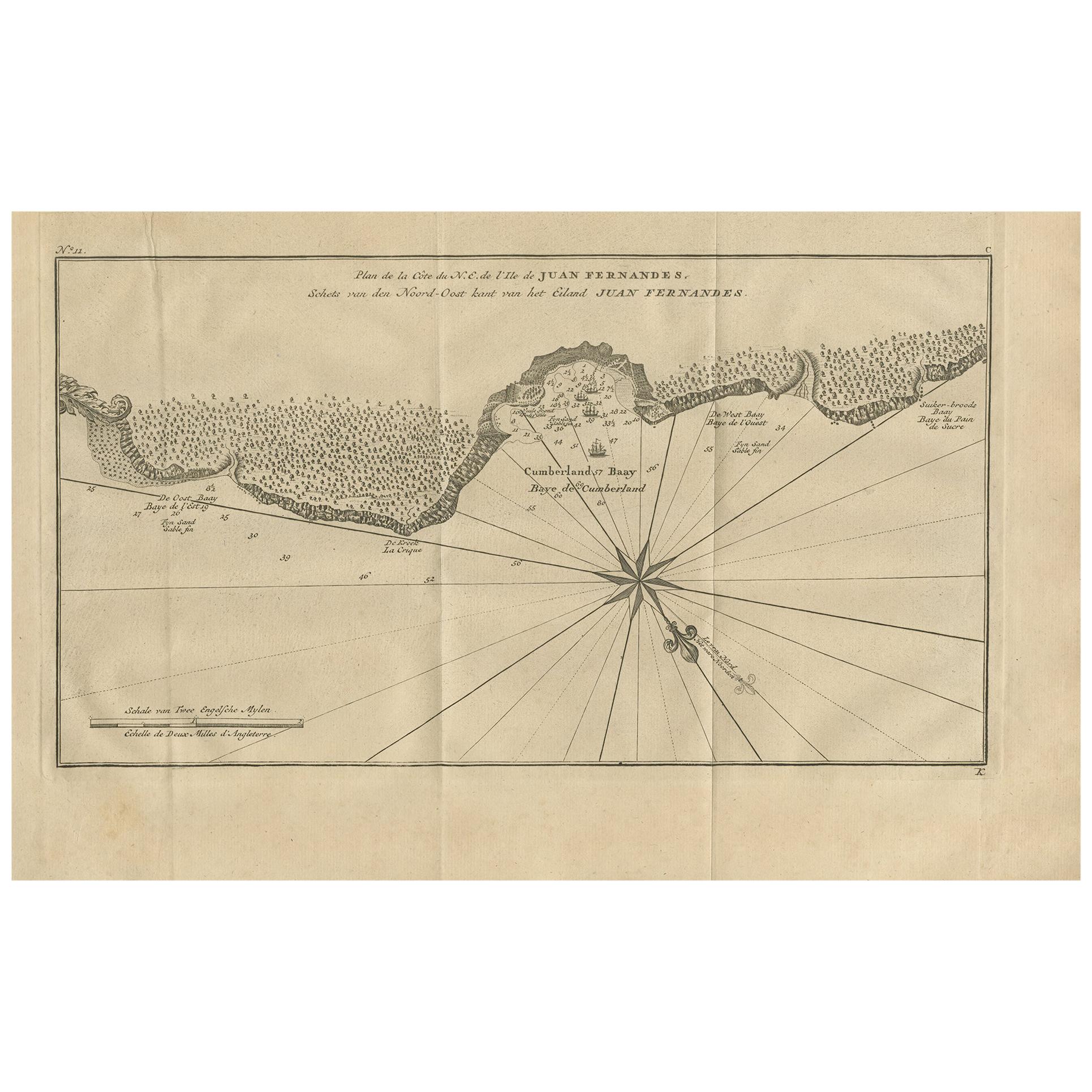
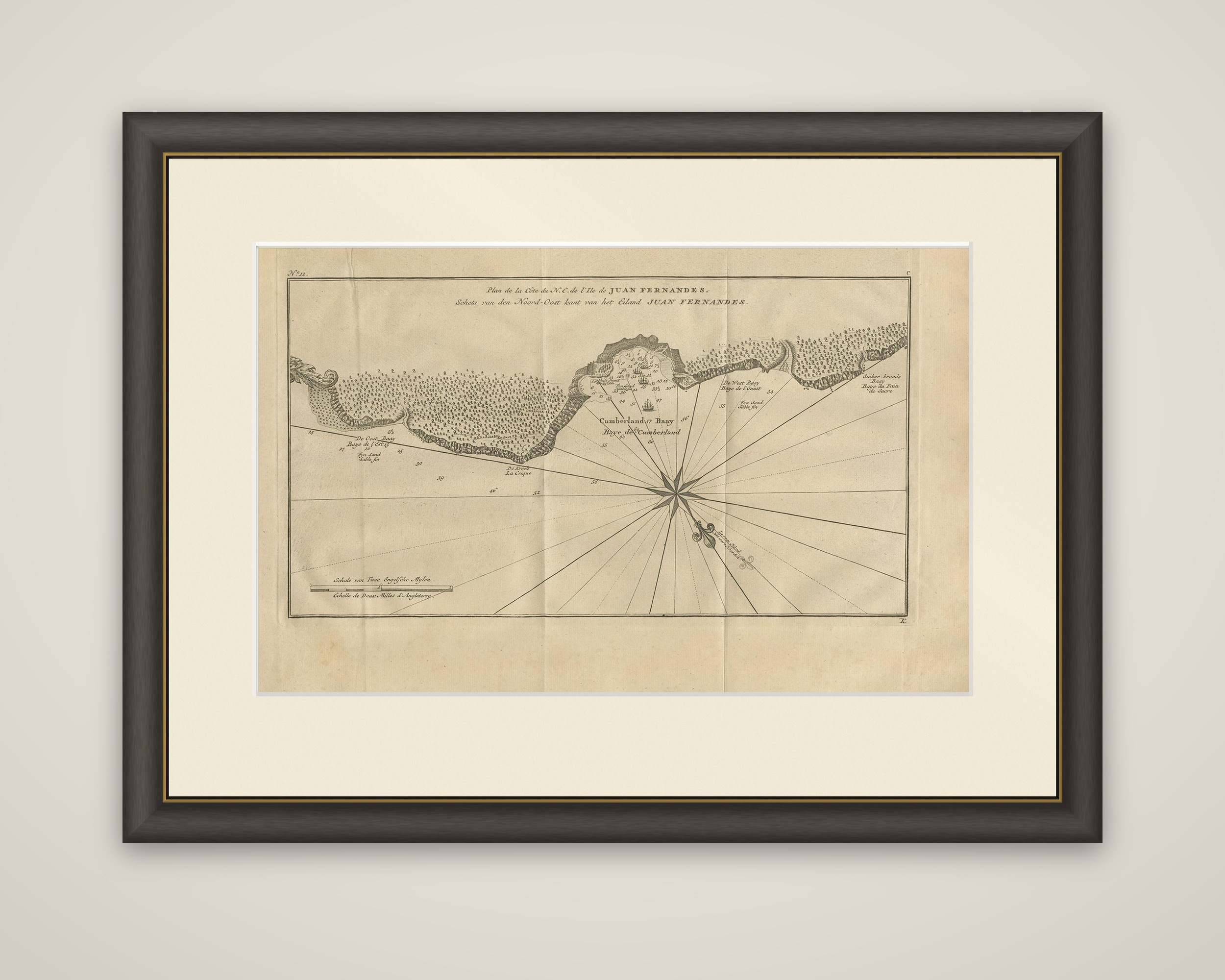
A chart of the northeast coast of Juan Fernandez island with Cumberland Bay, an original copper engraving from the Dutch edition of George Anson's Reize rondsom de Werreld, published in 1749. The title appears in French and Dutch at the top: "Plan de la Cote du N.E. de l'Ile de Juan Fernandes" and "Schets van den Noord-Oost kant van het Eiland Juan Fernandes".
The sheet is dominated by a large compass rose with radiating rhumb lines. Along the top the wooded coastline is shown in profile, with the bay named "Cumberland Bay" or "Baye de Cumberland" at the center, where the anchorage is marked by ships and numerous depth soundings. Smaller bays are labeled to either side, including a West Bay, and a scale of English miles is drawn at the lower left.
In 1741 Anson's depleted squadron reached the island to restore its crews. The island group lies off the coast of Chile and is also remembered as the home of the marooned sailor Alexander Selkirk, whose story is thought to have inspired Robinson Crusoe.