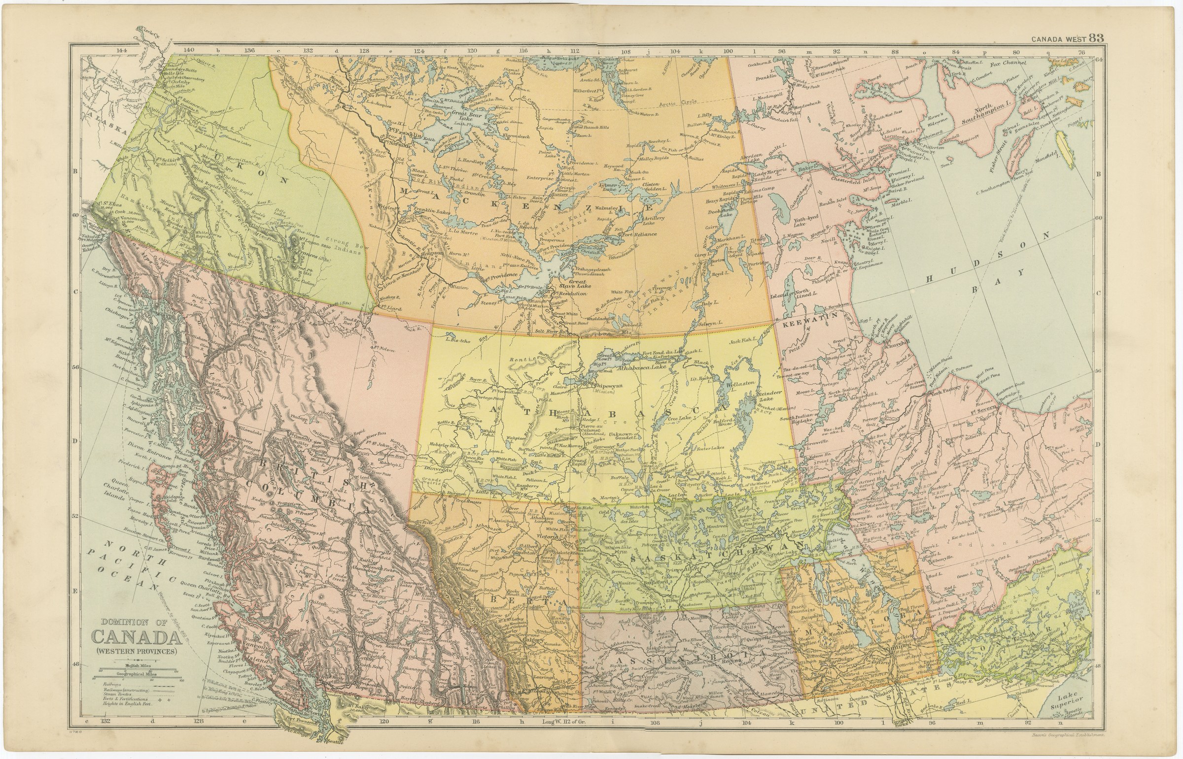
Antique Map of Western Canada, Athabasca, Assiniboia and Yukon, 1898
€ 275
Original antique · The actual sheet photographed · Certificate of authenticity on request · Sold unframed · Worldwide shipping from € 15 (rates)
Date
1898
Mapmaker / artist
George Washington Bacon
Publisher
G. W. Bacon and Company, Limited, 127 Strand, London
Technique
Lithograph
Coloring
Printed color
Sheet size
34 × 54 cm (13.4 × 21.3 in)
Condition
Good
Reference
BG-06675-83
What the condition grades mean
Excellent
Bright and clean, with no faults worth mentioning.
Very good
Only light signs of age, such as faint toning.
Good
Normal signs of age for a sheet of this period: toning, some foxing, small marks or neat old repairs.
Fair
Clear faults such as staining, tears or repairs, priced to match.
Every fault we see is written in the condition note, and the whole sheet is shown uncropped in the photos.
Condition
Light overall age toning, with the paper darker along the top and bottom edges and light handling wear at the top right and bottom left corners. The printed image itself is clean.
About this sheet
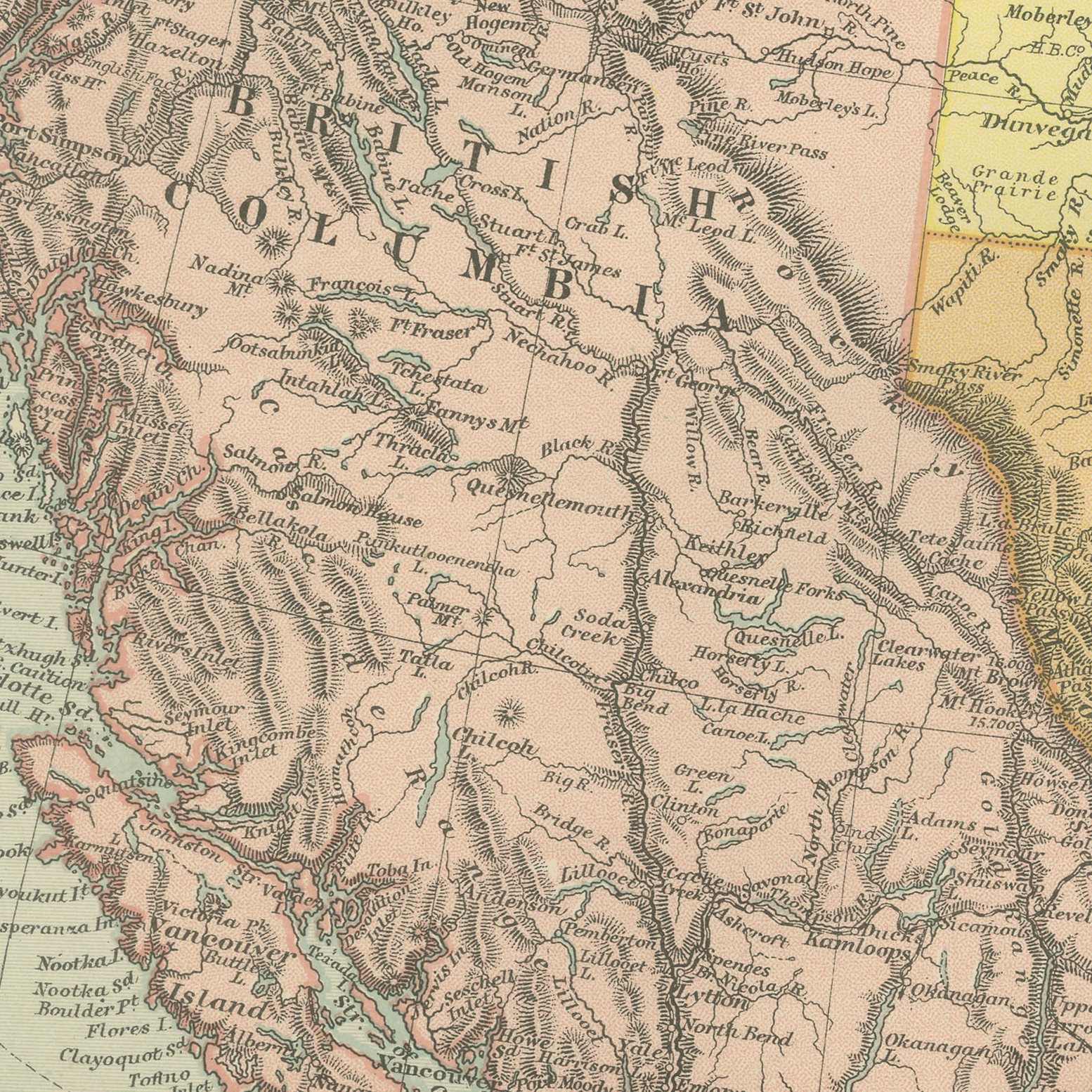
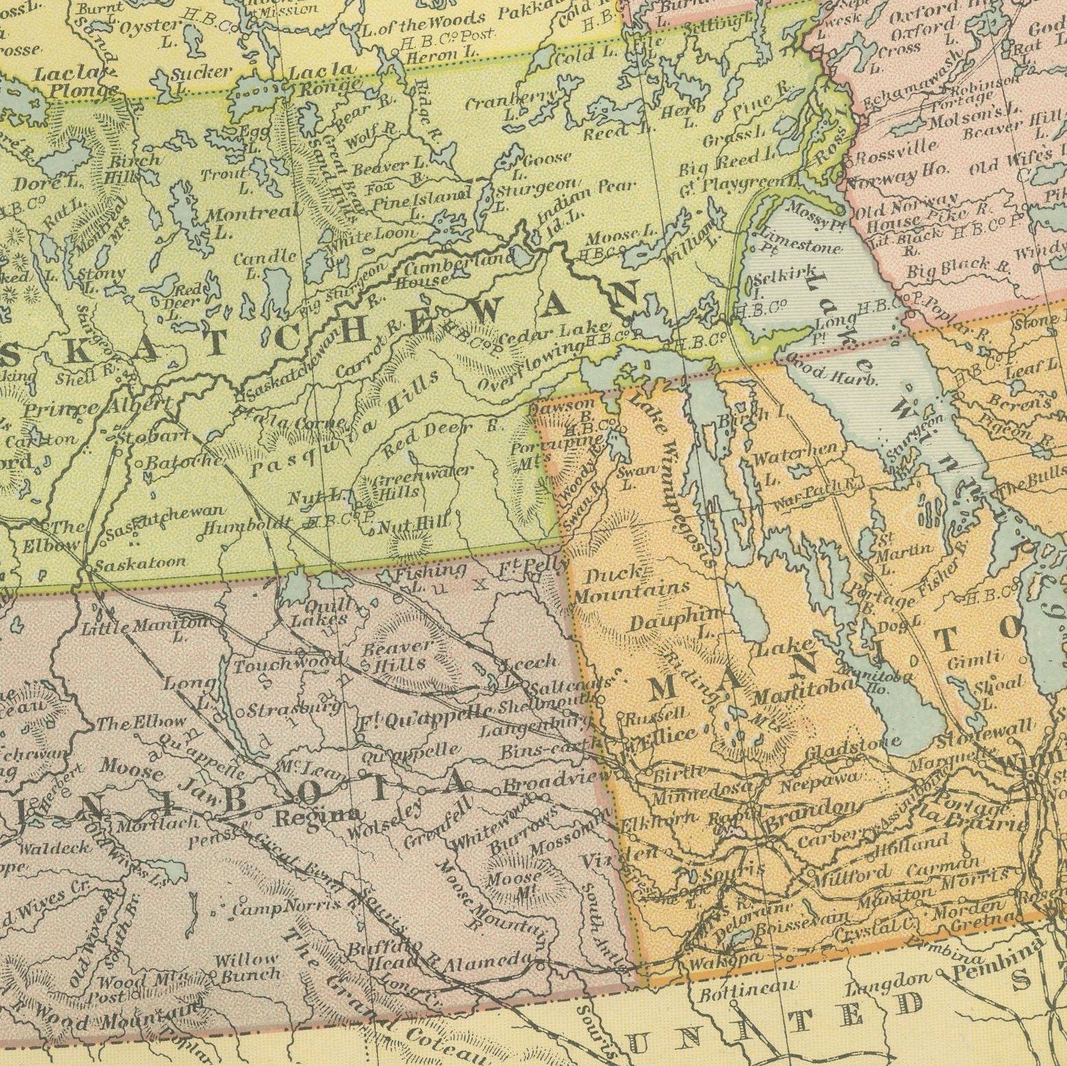
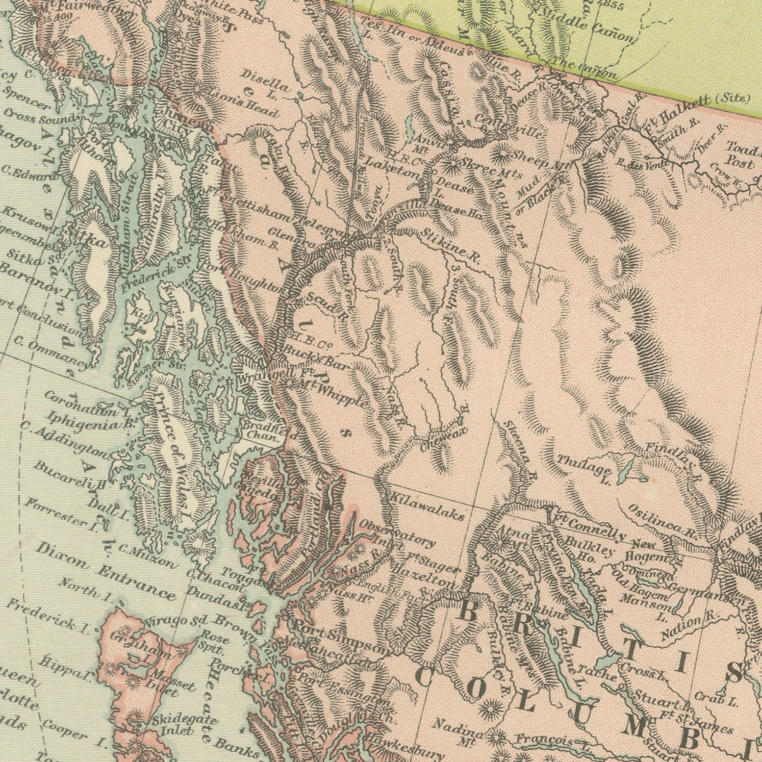
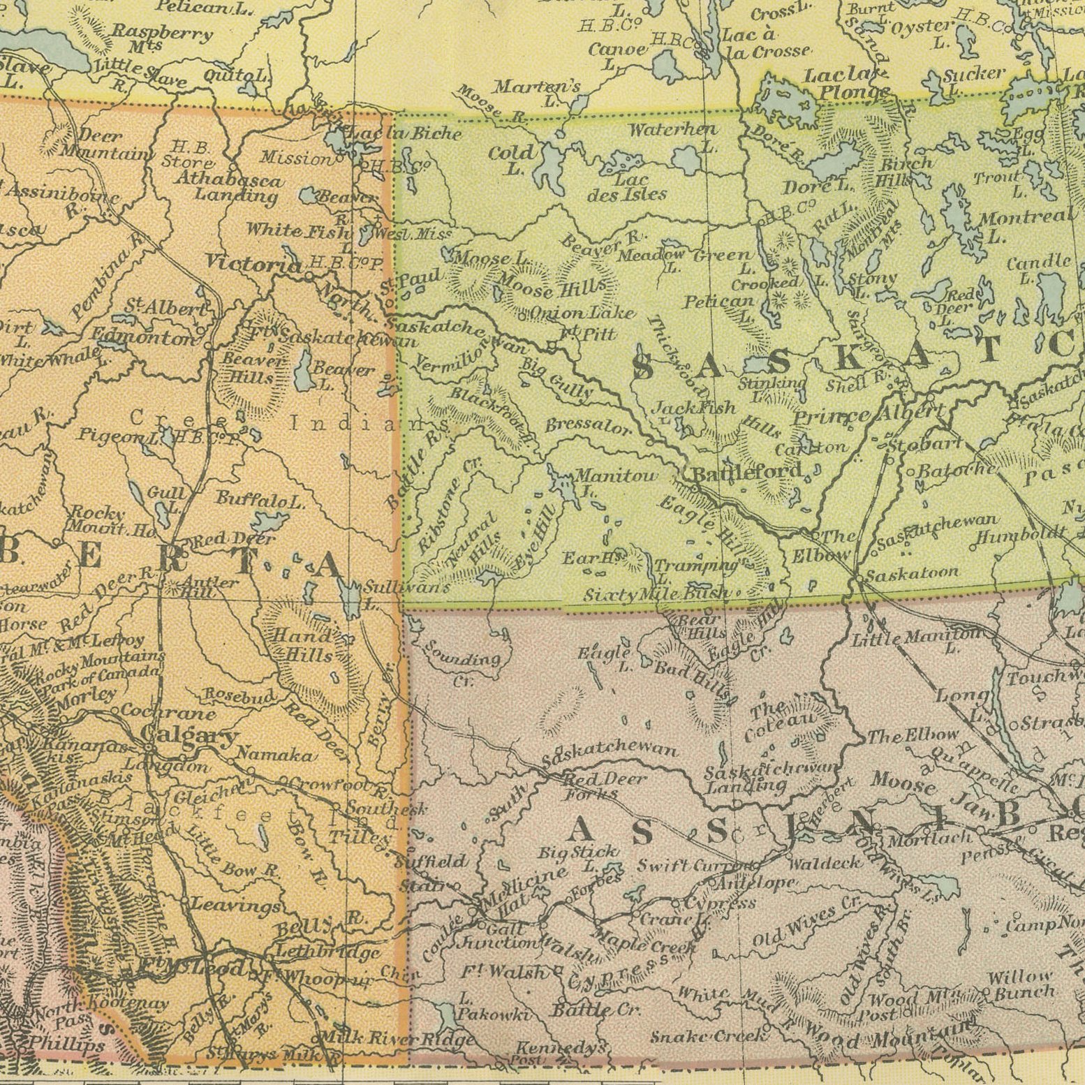
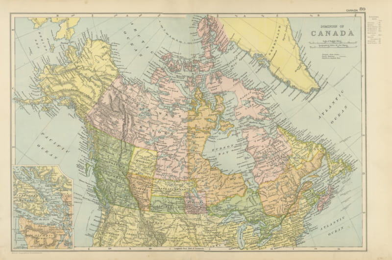
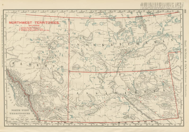
A large color printed antique map of western Canada, published in London by G. W. Bacon in 1898 for his Commercial and Library Atlas of the World. The double page runs from the Pacific coast to Hudson Bay and from the United States border to the Arctic, with British Columbia, the districts of Alberta, Athabasca, Saskatchewan, Assiniboia, Keewatin and Mackenzie and the new Yukon territory each separately colored, and the Canadian Pacific main line drawn through the Rockies.
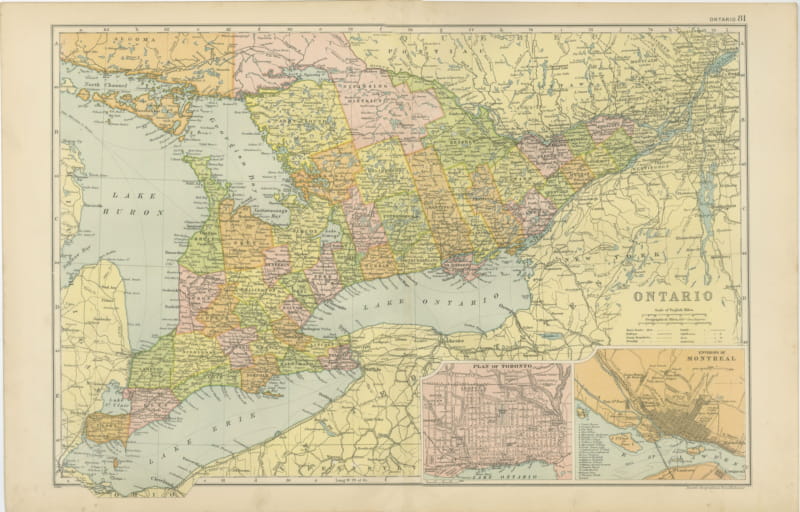
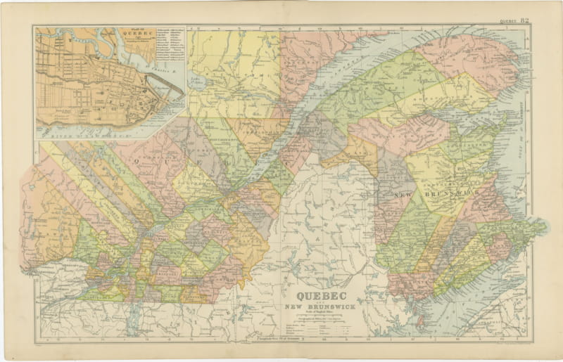
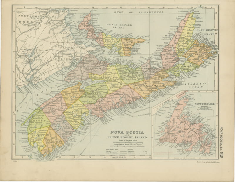
This map was issued in the Commercial and Library Atlas of the World, published by G. W. Bacon and Company, Limited, London, in 1898. Bacon's house built its reputation on large, densely lettered commercial maps rather than on decorative cartography, and this atlas was its reference volume: one hundred double page maps and one hundred insets, each carrying the railways, steamer routes, submarine cables and administrative boundaries that a trading nation wanted at the end of the nineteenth century.
The names on this map are the reason to own it. Athabasca, Assiniboia and Keewatin were districts of the North West Territories that vanished when Alberta and Saskatchewan were created in 1905, so a sheet that shows them is firmly dated to a window of about twenty years. The Yukon had been separated as a territory in 1898 because of the Klondike rush, and it appears here almost new. Prairie buyers and railway collectors both look for this one.
Light overall age toning, with the paper darker along the top and bottom edges and light handling wear at the top right and bottom left corners. The printed image itself is clean.
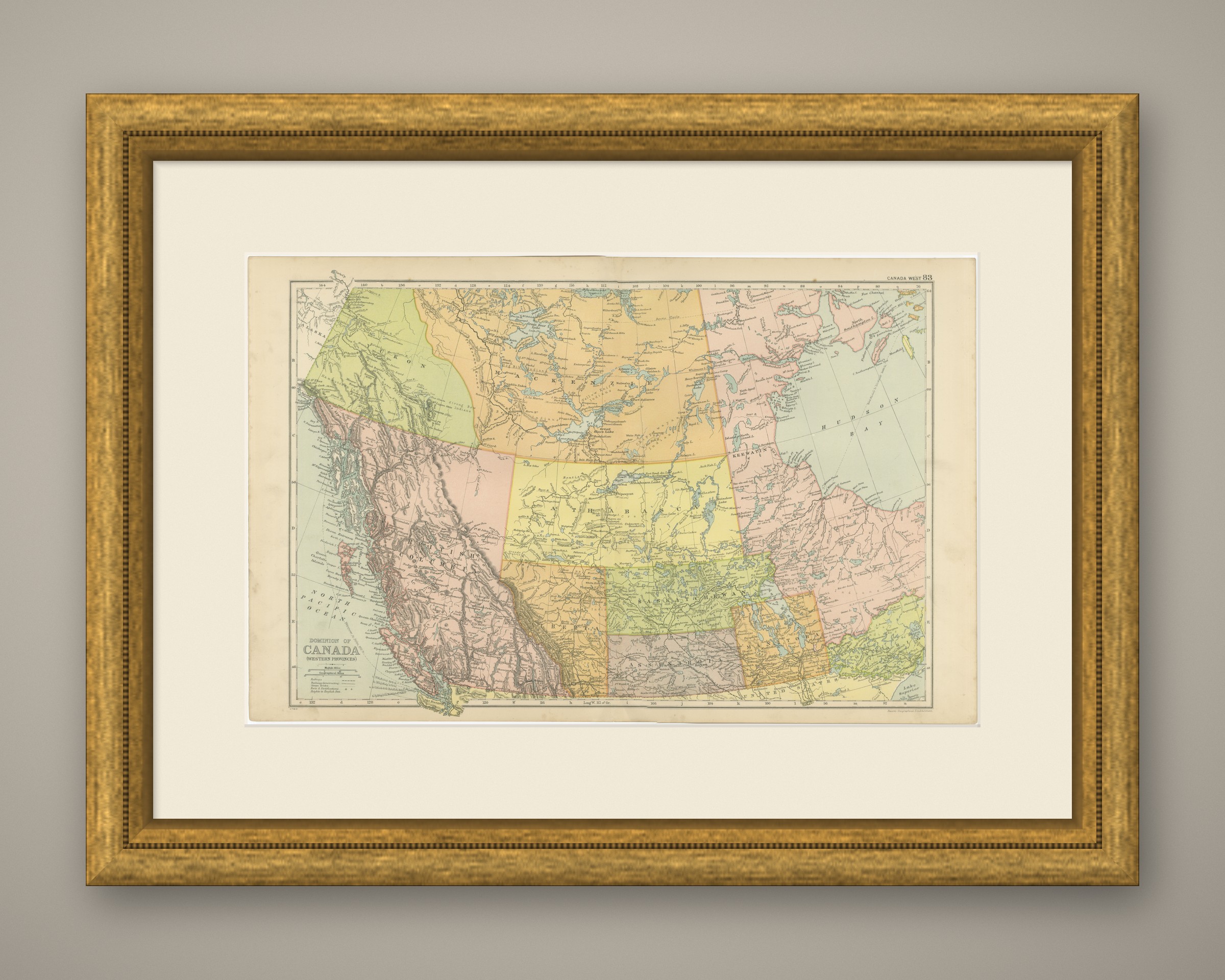
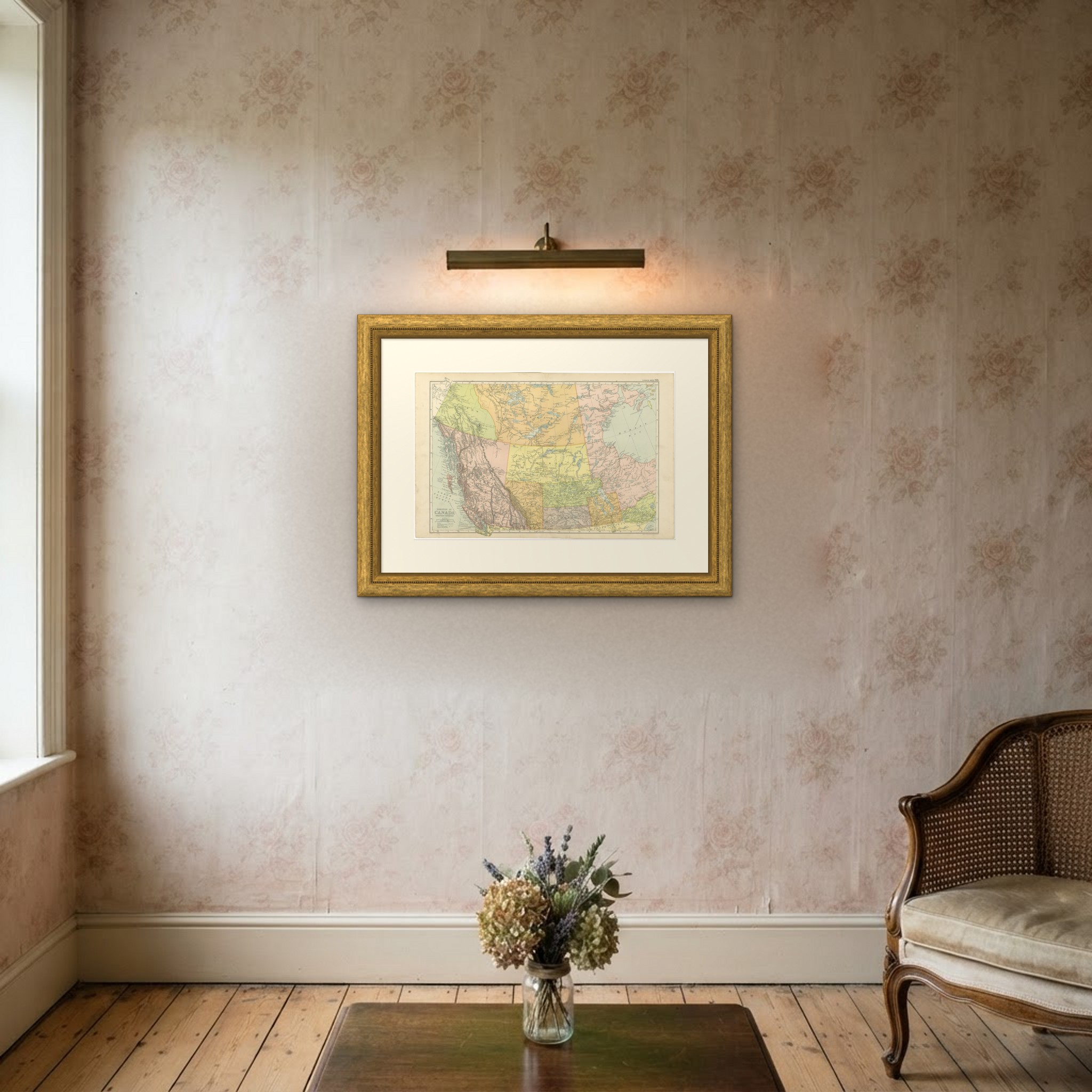
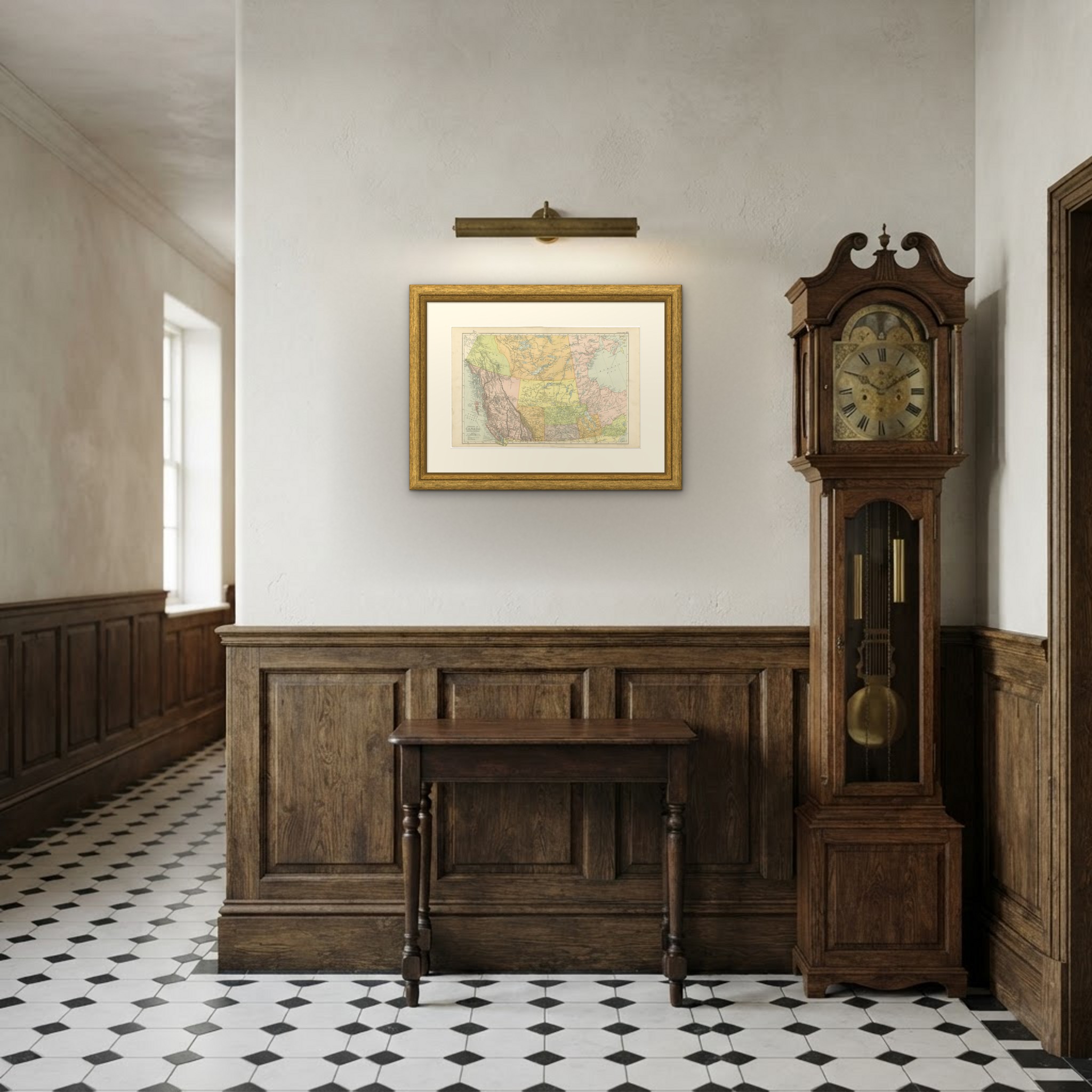
Framed simply, a sheet of this size holds a wall on its own, and the clear color printing reads well across a room. It suits a study, a library, an office or a hallway, and it is an easy gift for anyone with a connection to the place it shows. This is an original antique map, not a modern reproduction. This item is sold unframed. Any framed or interior images are shown for presentation and inspiration only, unless the listing explicitly states that the item is sold framed.