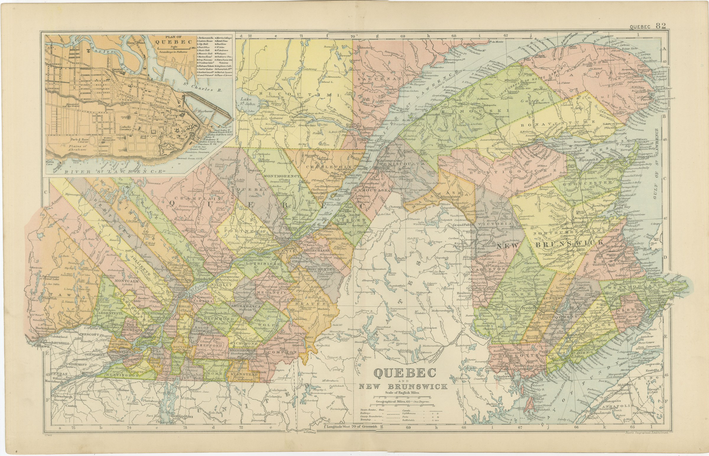
Antique Map of Quebec and New Brunswick, with a Plan of Quebec, 1898
€ 295
Original antique · The actual sheet photographed · Certificate of authenticity on request · Sold unframed · Worldwide shipping from € 15 (rates)
Date
1898
Mapmaker / artist
George Washington Bacon
Publisher
G. W. Bacon and Company, Limited, 127 Strand, London
Technique
Lithograph
Coloring
Printed color
Sheet size
34 × 54 cm (13.4 × 21.3 in)
Condition
Good
Reference
BG-06675-82
What the condition grades mean
Excellent
Bright and clean, with no faults worth mentioning.
Very good
Only light signs of age, such as faint toning.
Good
Normal signs of age for a sheet of this period: toning, some foxing, small marks or neat old repairs.
Fair
Clear faults such as staining, tears or repairs, priced to match.
Every fault we see is written in the condition note, and the whole sheet is shown uncropped in the photos.
Condition
Moderate overall age toning, with the paper darker along the bottom edge and wear to the bottom left corner. The printed image itself is clean.
About this sheet
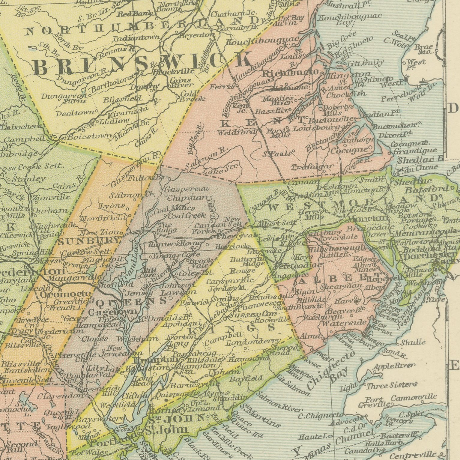
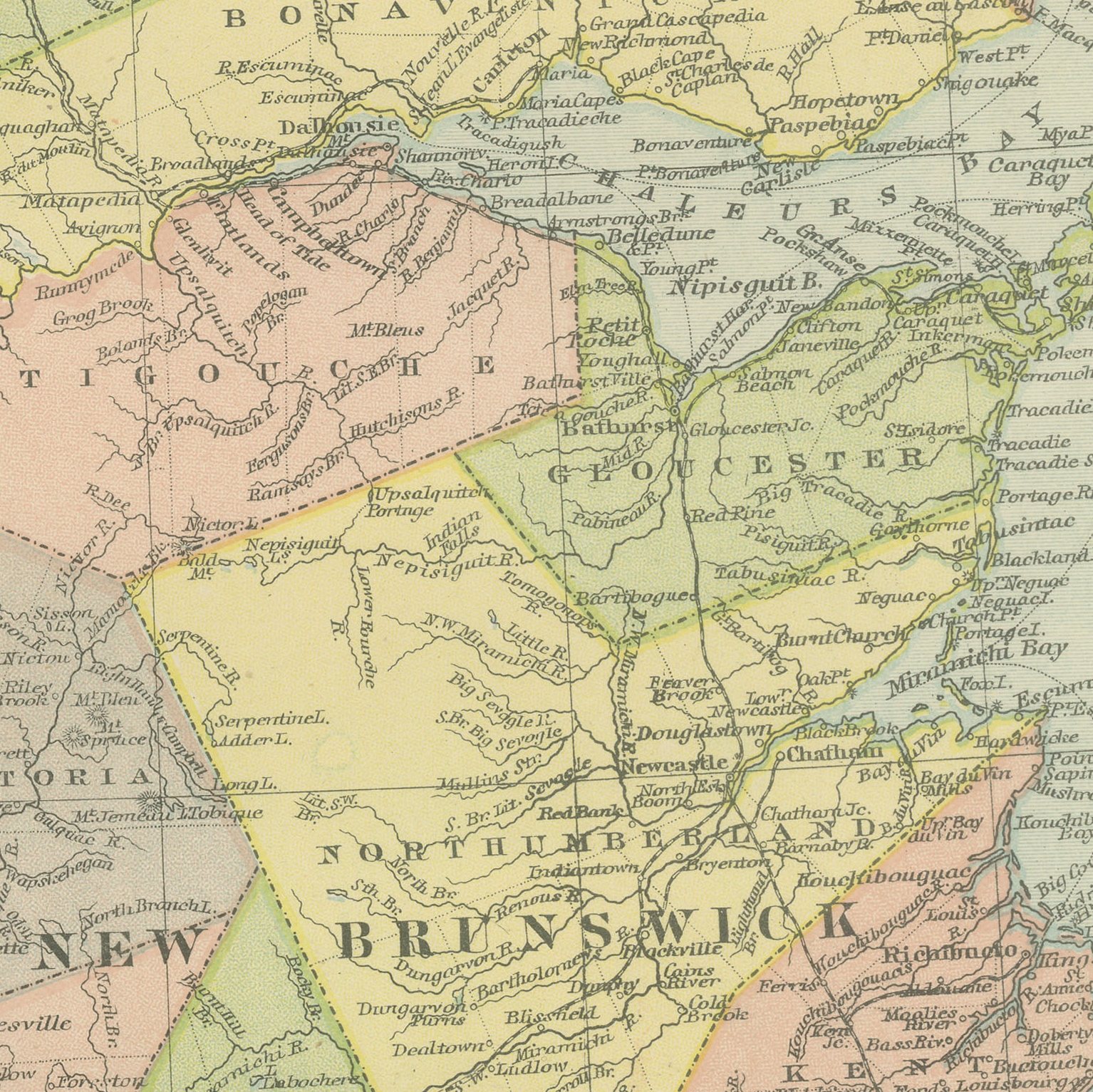
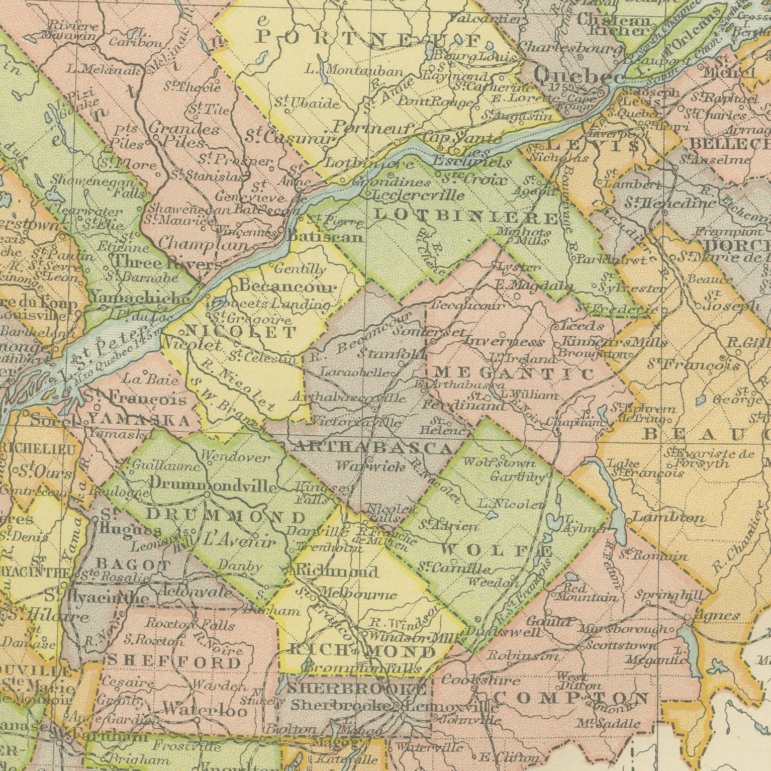
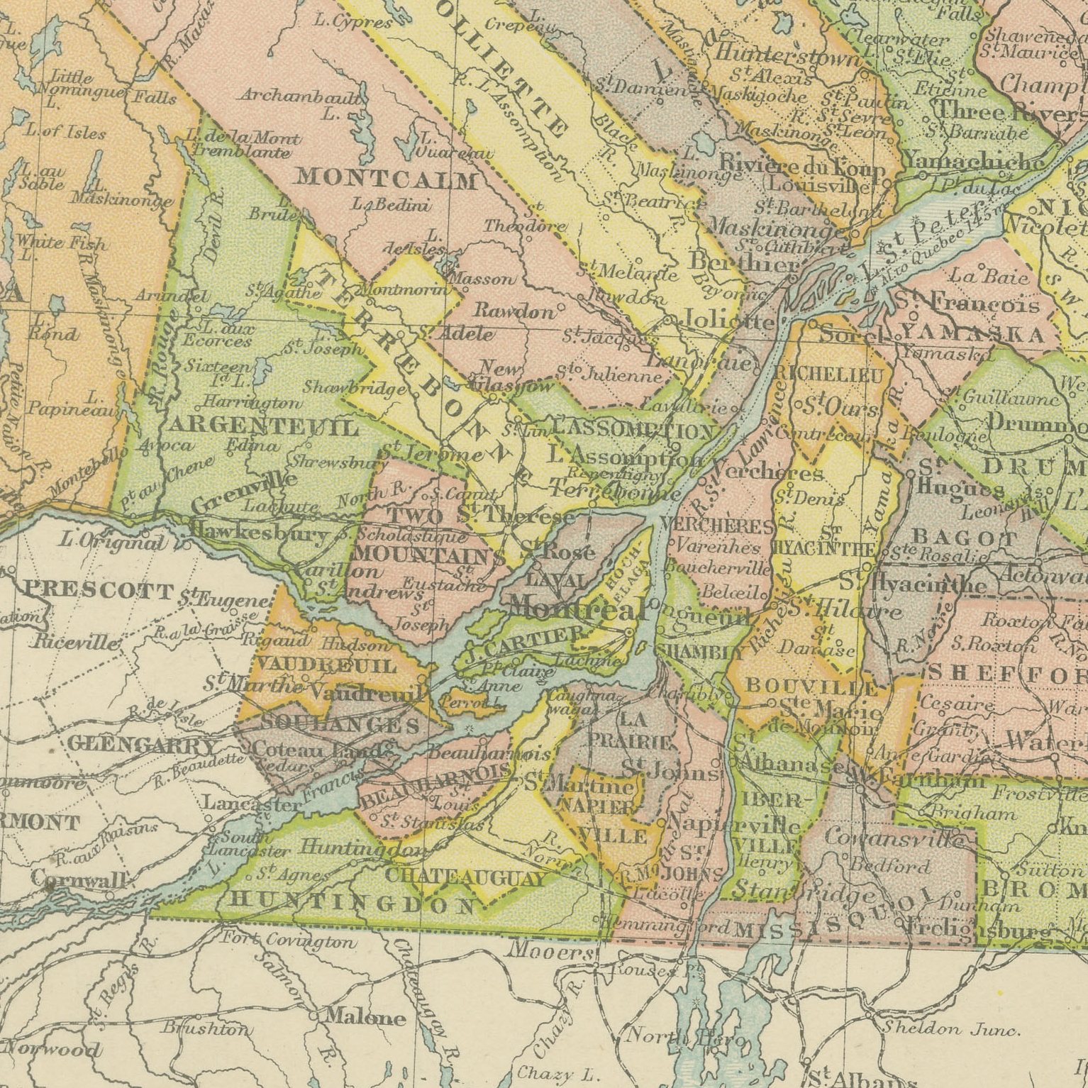
Original antique map of Quebec and New Brunswick from the 1898 Commercial and Library Atlas of the World, edited by G. W. Bacon in London and printed in color. The Saint Lawrence runs diagonally across the double page from Montreal to the Gulf, the seigneurial counties of Quebec drawn in long narrow strips on either bank and separately colored, with the Gaspe peninsula, New Brunswick and the edge of Nova Scotia to the east. An inset gives a street plan of the city of Quebec.
The sheet comes from the Commercial and Library Atlas of the World with Index-Gazetteer, edited by George Washington Bacon, Fellow of the Royal Geographical Society, and published in London by G. W. Bacon and Company, Limited, of 127 Strand, in 1898. The atlas gathered one hundred double page maps and one hundred inset maps with an alphabetical index of fifty thousand places and a gazetteer of two thousand towns, and it was sold to merchants, shipping houses and subscription libraries that needed the world kept current rather than kept beautiful.
The long thin counties are the visual signature of this map: they follow the old French seigneuries that were laid out at right angles to the river so that every holding had a frontage on it, and no other province in North America looks like it. The plan of Quebec shows the walled upper town with the Citadel and the Plains of Abraham. For French Canadian family research the parish names on this sheet are exactly what is needed.
Moderate overall age toning, with the paper darker along the bottom edge and wear to the bottom left corner. The printed image itself is clean.
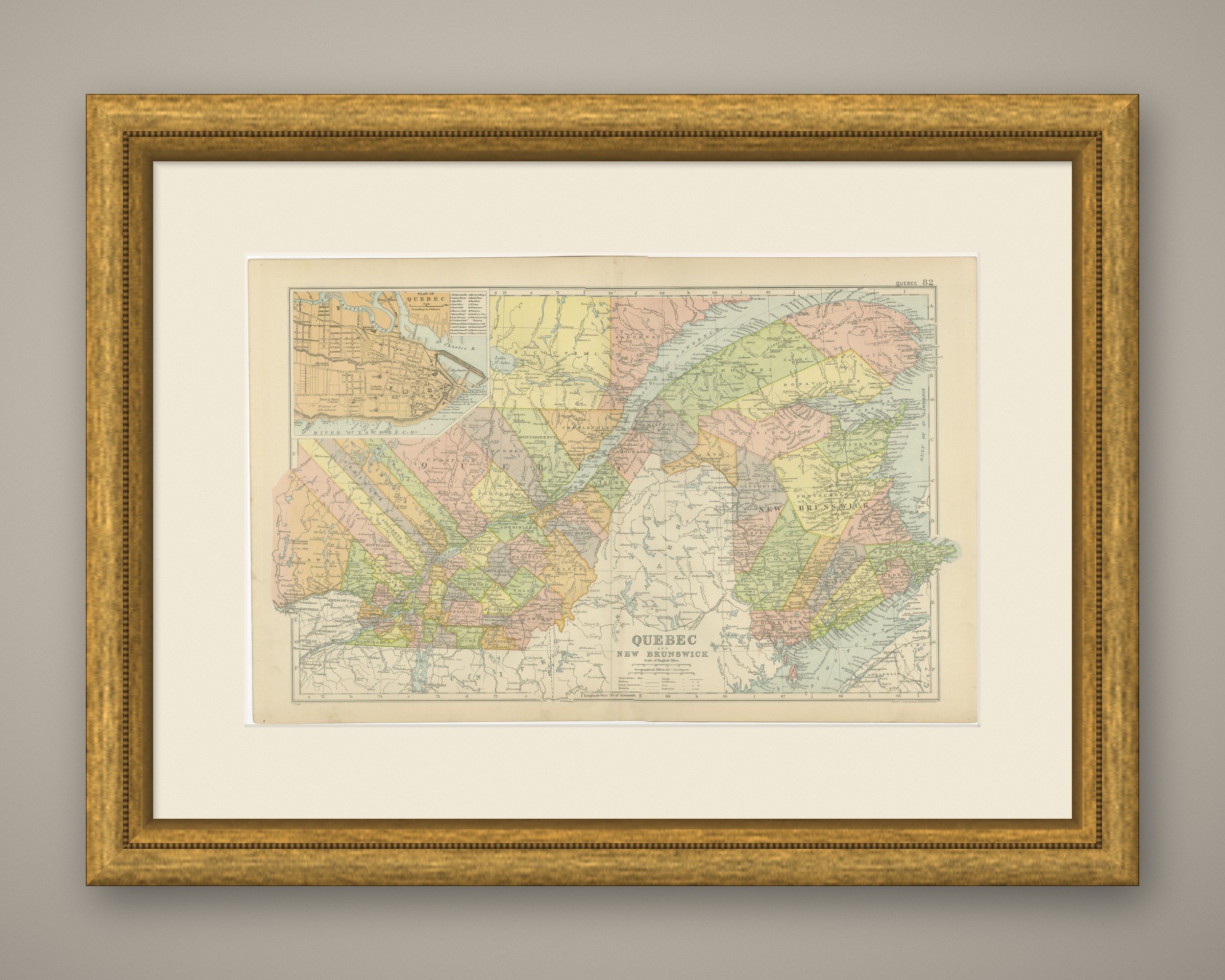
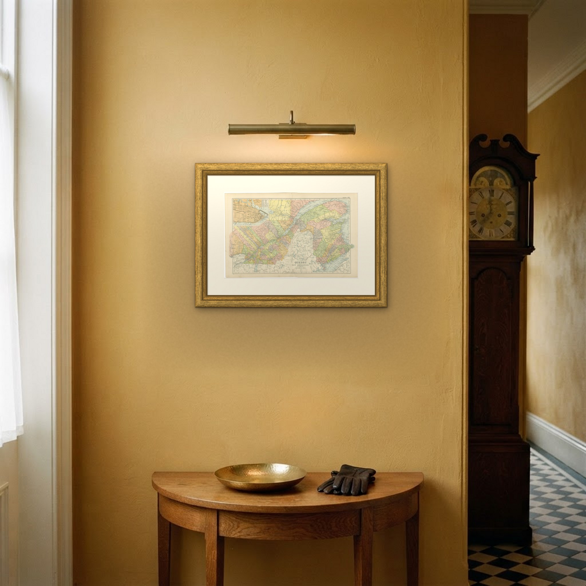
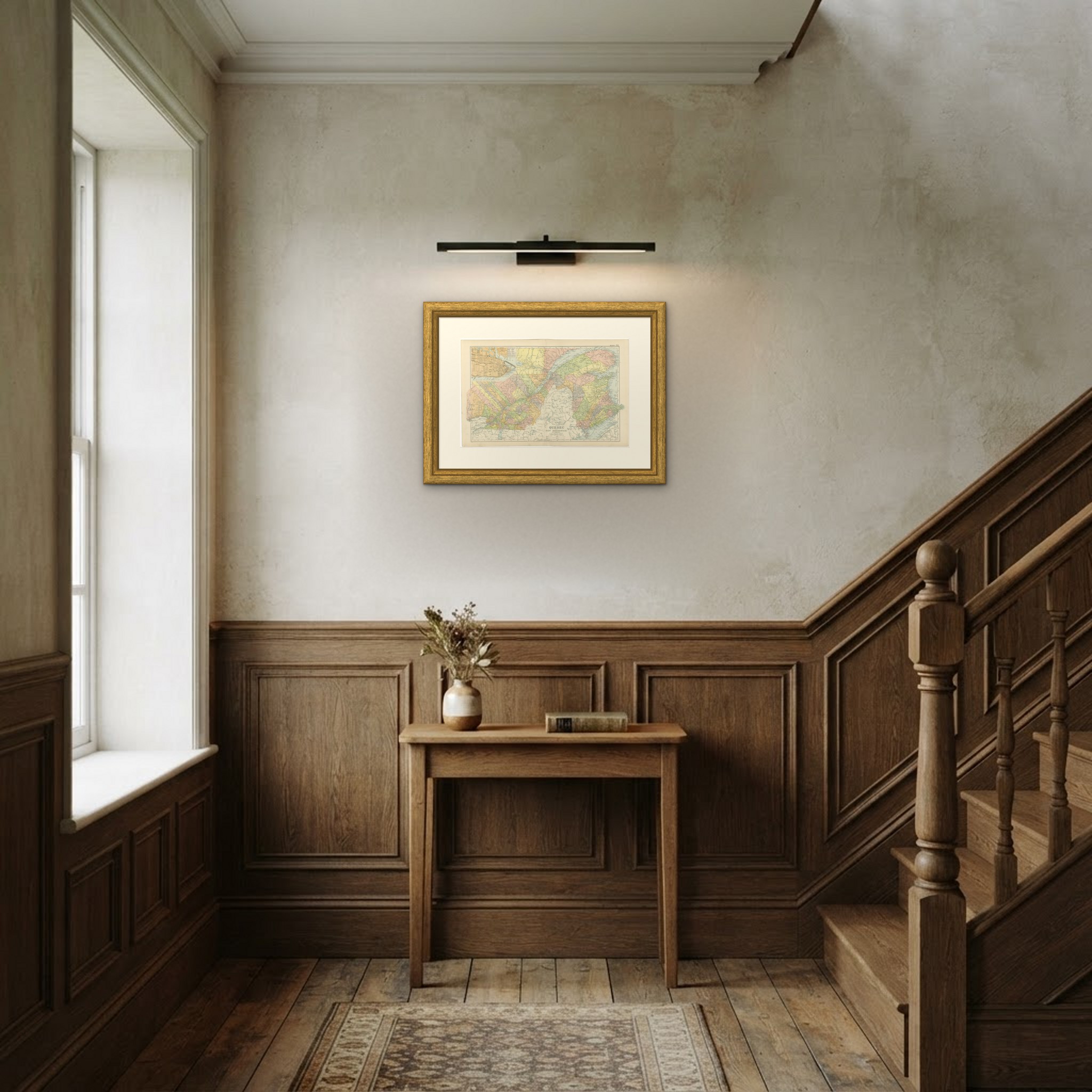
Hung in a plain frame with a generous mount, a map of this scale makes a strong center for a room, and it pairs naturally with other sheets from the same atlas if a wall calls for a group. It is equally at home in a study, a dining room or a set of offices. This is an original antique map, not a modern reproduction. This item is sold unframed. Any framed or interior images are shown for presentation and inspiration only, unless the listing explicitly states that the item is sold framed.