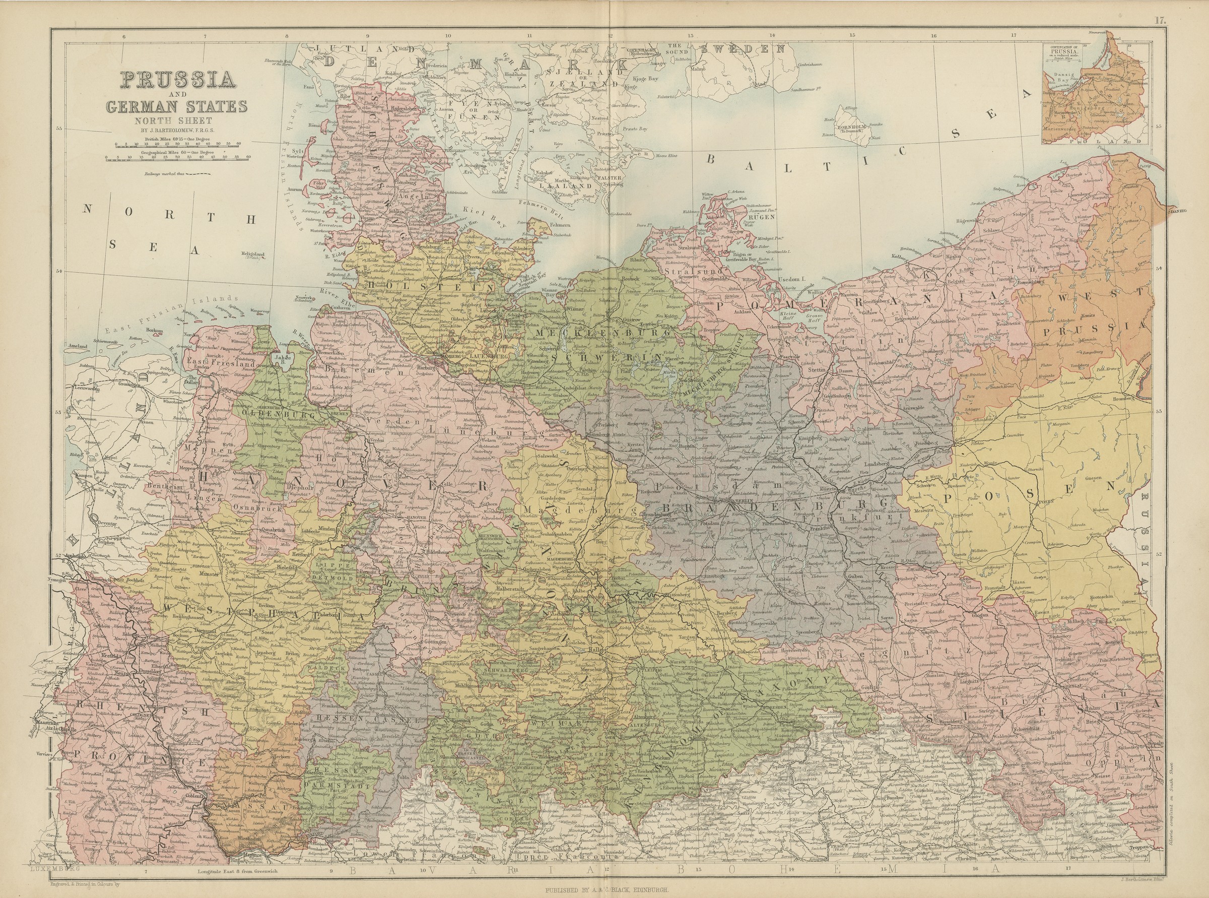
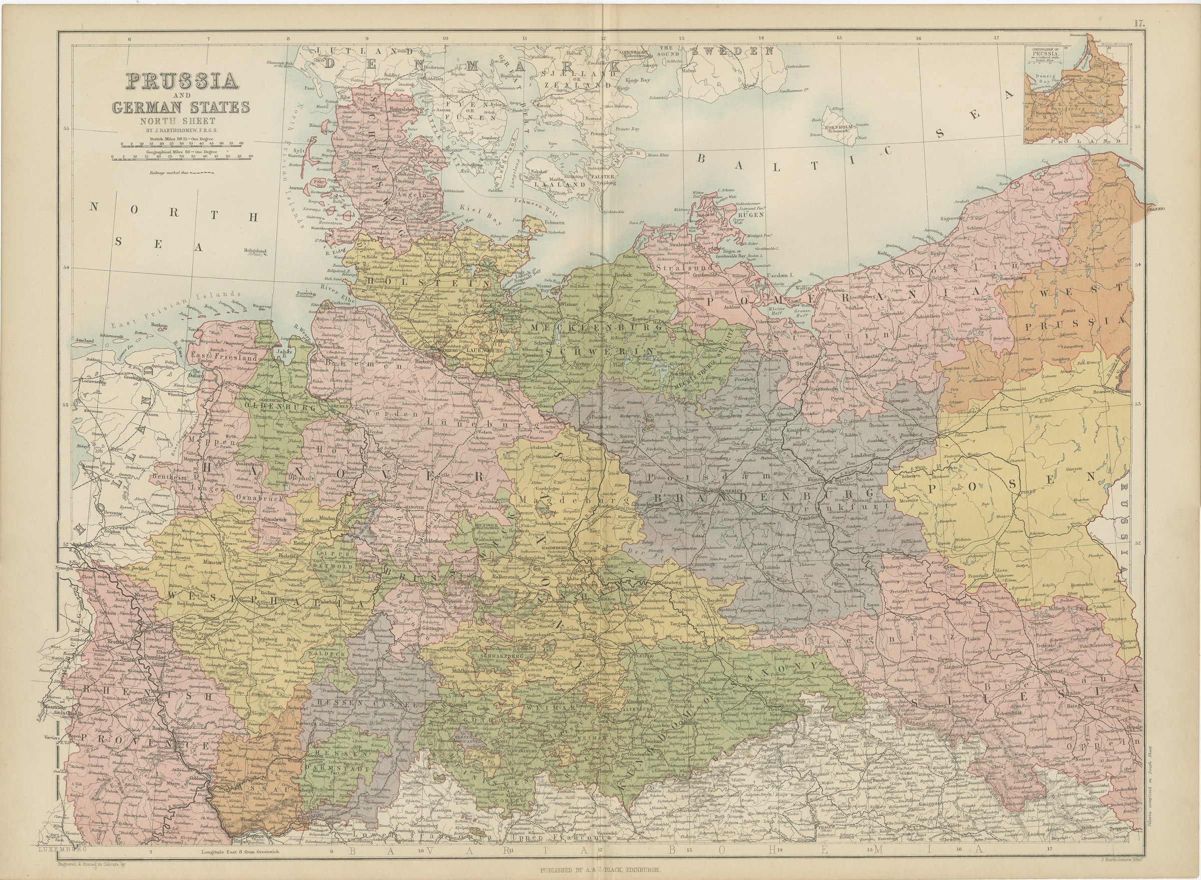
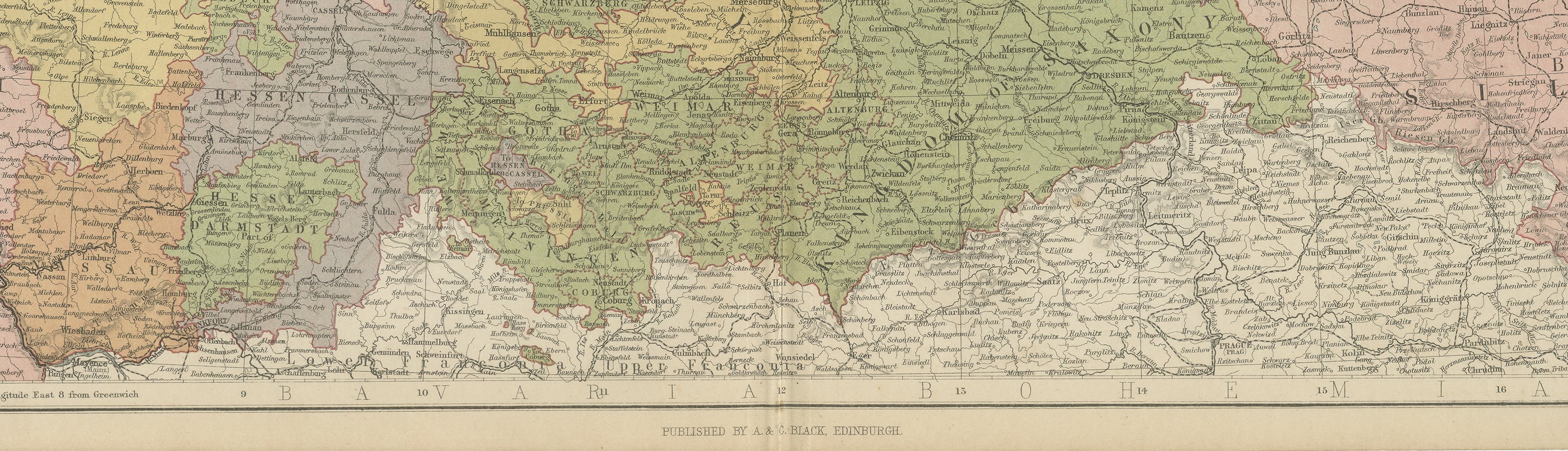
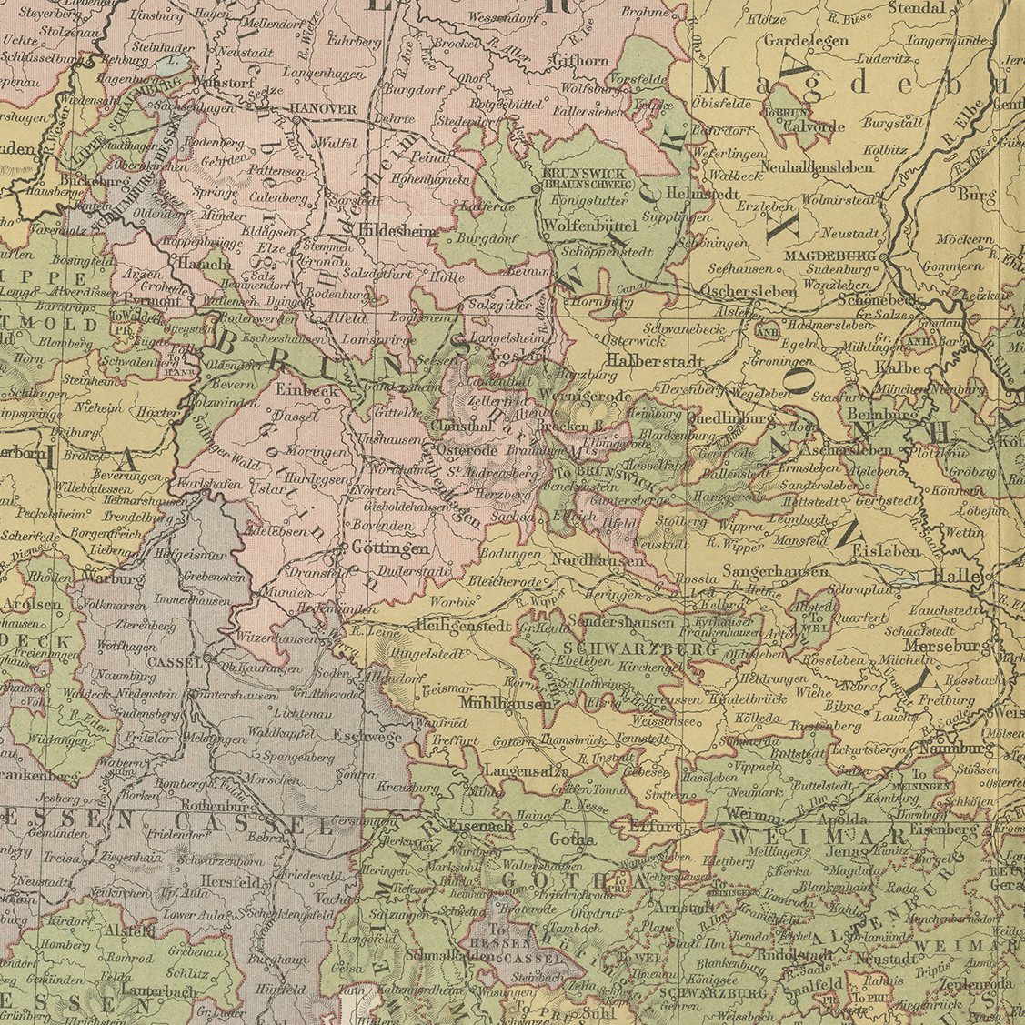
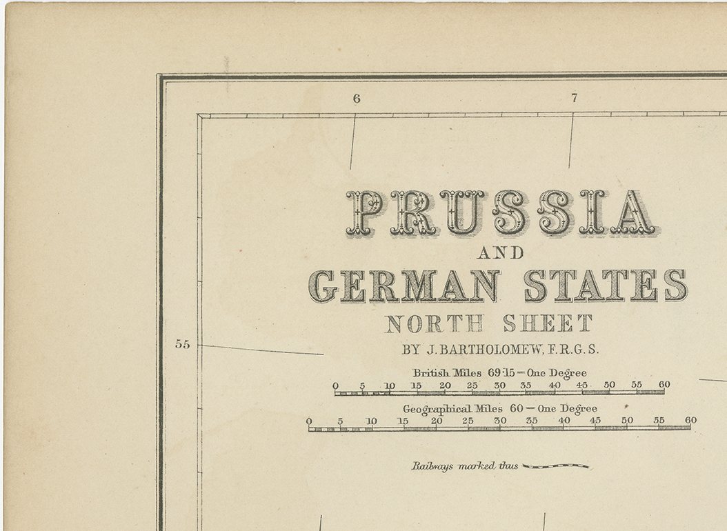
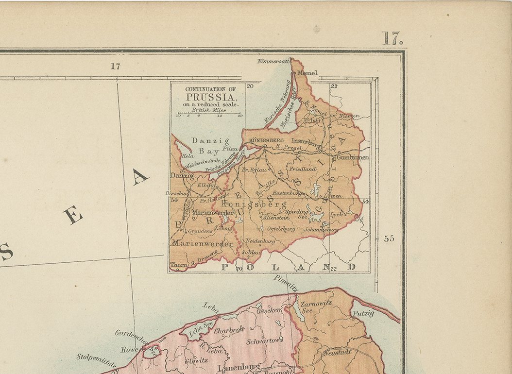
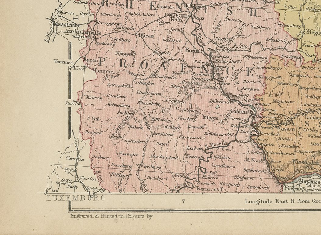
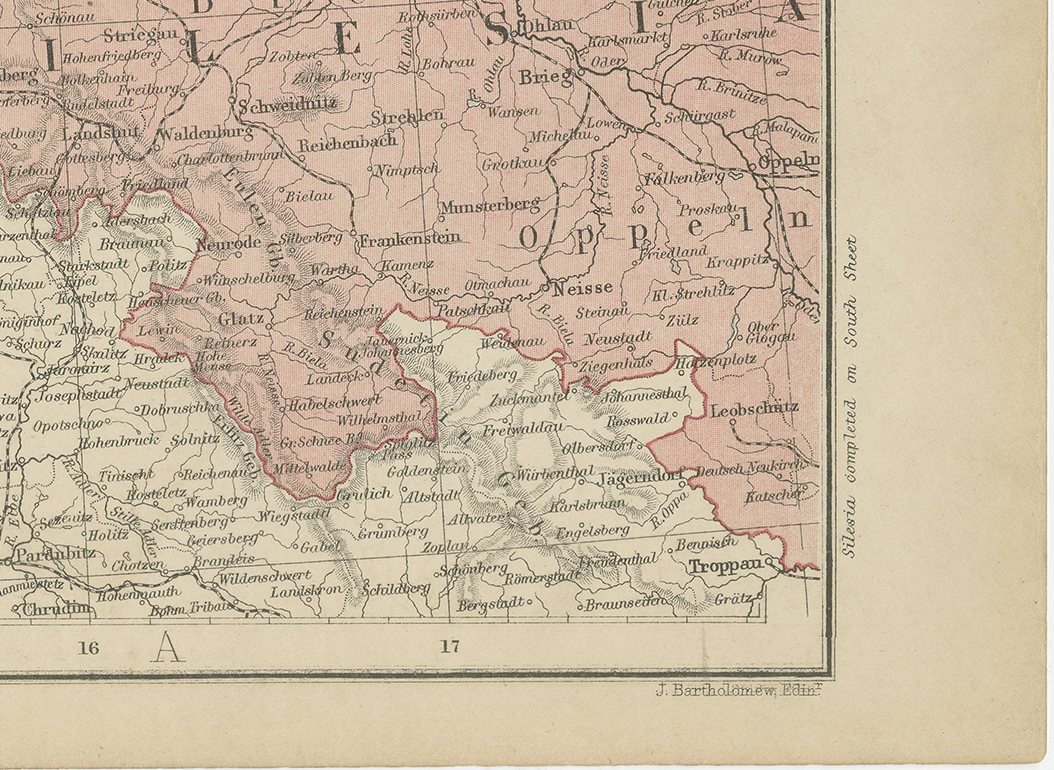
Antique Map of Prussia and the German States, North Sheet, Bartholomew, 1870
€ 240
Original antique · The actual sheet photographed · Certificate of authenticity on request · Sold unframed · Worldwide shipping from € 15 (rates)
Date
1870
Mapmaker / artist
John Bartholomew
Publisher
A. and C. Black, Edinburgh
Technique
Steel Engraving
Colouring
Original hand colour
Condition
Good
Reference
BG-12784-17
Condition
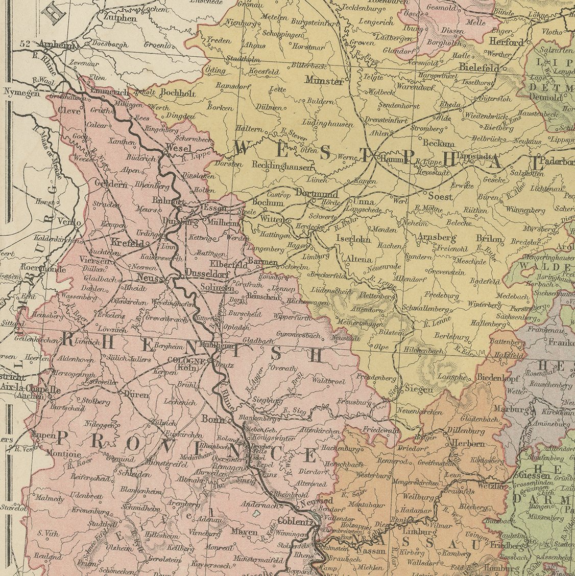
Good condition for its age. Centre fold as issued; light toning and a few faint spots to the margins. Please review the images for further condition details.
About this sheet
The northern sheet of Black's two sheet map of Prussia and the German States, engraved by J. Bartholomew and published by A. and C. Black of Edinburgh. It covers the North Sea and Baltic coasts with Mecklenburg, Stralsund and the island of Rugen, the Prussian provinces inland, and the southern edge of Sweden across the water. The sheet was printed at the moment when the German states were being drawn together into an empire, and it therefore shows the last configuration of the old separate territories before unification settled the map for the next half century. The engraving is characteristic Bartholomew work, with clear type, careful coastal detail and the railway network picked out. A useful sheet for a collector of German material and a large enough plate to frame on its own.
Black's General Atlas of the World was the standard British household atlas of the middle nineteenth century, issued in Edinburgh by the publishing house of Adam and Charles Black, the firm better known to most readers as the publisher of Sir Walter Scott and of the Encyclopaedia Britannica. Its maps were engraved on steel, most of them under the direction of the Edinburgh cartographer John Bartholomew, whose clear lettering and restrained hill shading gave the atlas a legibility that its heavier rivals lacked. Successive issues were revised as boundaries moved and railways spread, so a sheet from Black's records the world as an educated Victorian reader understood it in the year the plate was printed.
Sheets from this atlas are sought after today both as reference cartography and as decorative material, the generous folio format suiting a wall quite as readily as a portfolio. Hung as a pair or a group, the plates make a handsome and genuinely informative wall.
The sheet is in good condition for its age, with the centre fold as issued and light toning and a few faint spots in the margins; the map itself is clean.
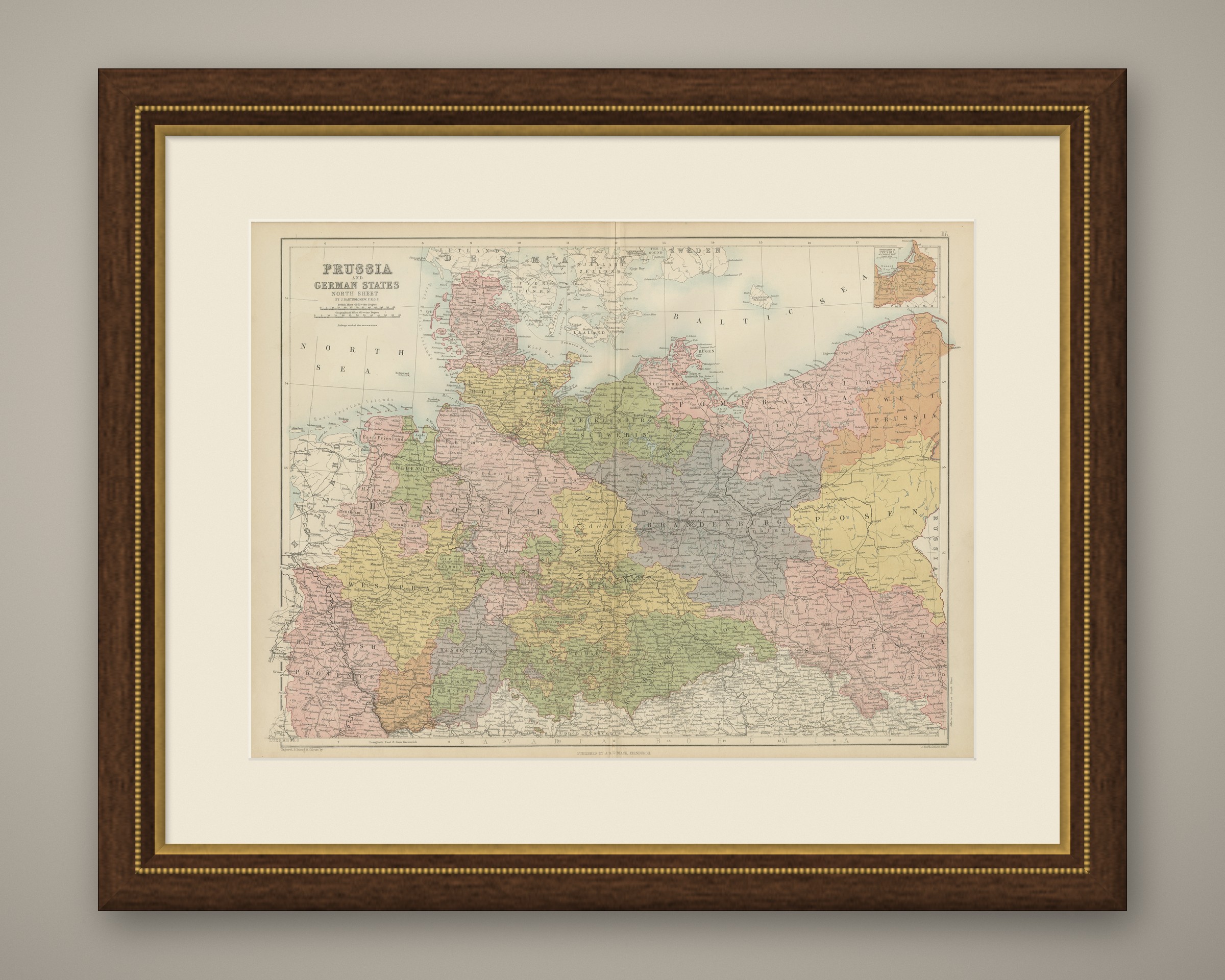
This is an original antique map, not a modern reproduction. This item is sold unframed. Any framed or interior images are shown for presentation and inspiration only, unless the listing explicitly states that the item is sold framed.