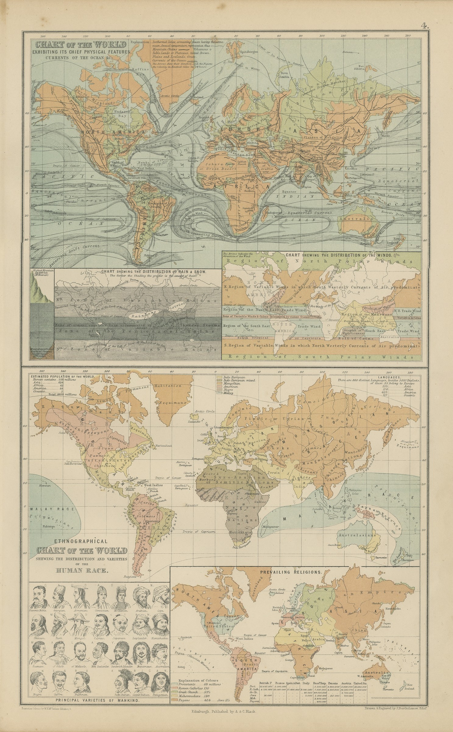
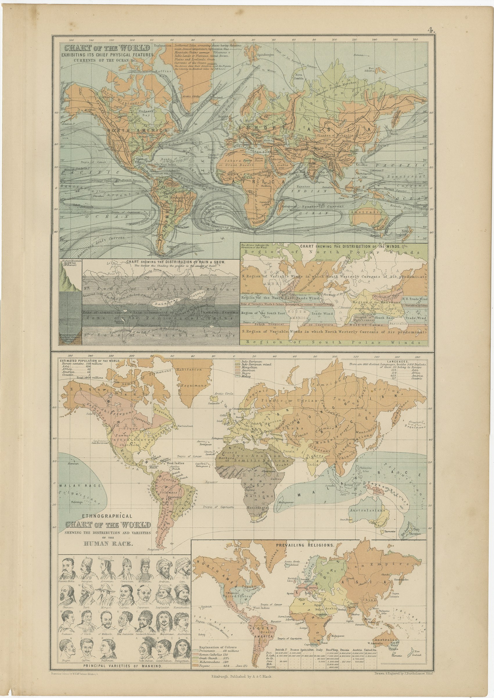
Antique Chart of the World, Winds, Currents and Races of Mankind, 1870
€ 260
Original antique · The actual sheet photographed · Certificate of authenticity on request · Sold unframed · Worldwide shipping from € 15 (rates)
Date
1870
Publisher
A. and C. Black, Edinburgh
Technique
Steel Engraving
Colouring
Original hand colour
Condition
Good
Reference
BG-12784-4
Condition
Good condition for its age. Light toning and a few small spots to the margins; creasing and small chips along the left edge, clear of the image. Please review the images for further condition details.
About this sheet
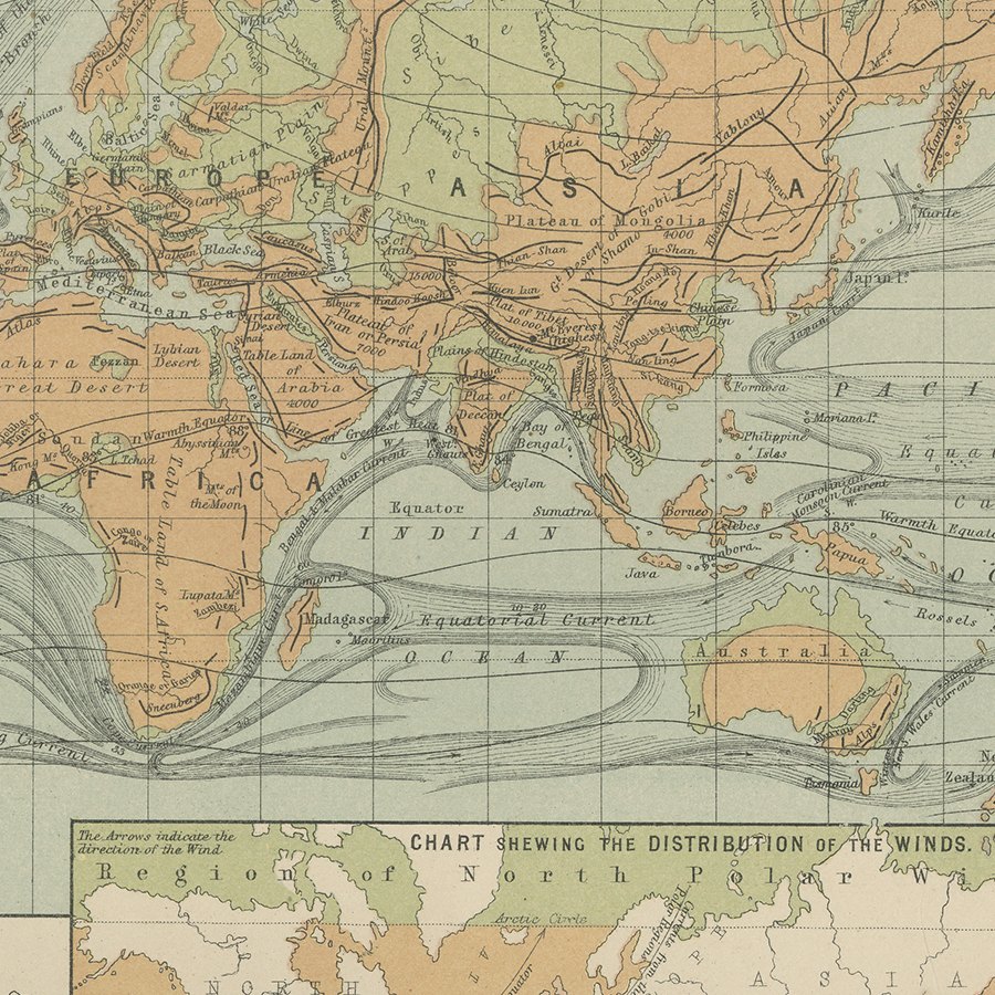
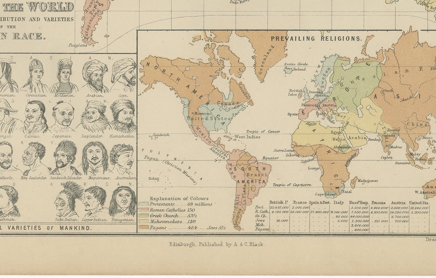
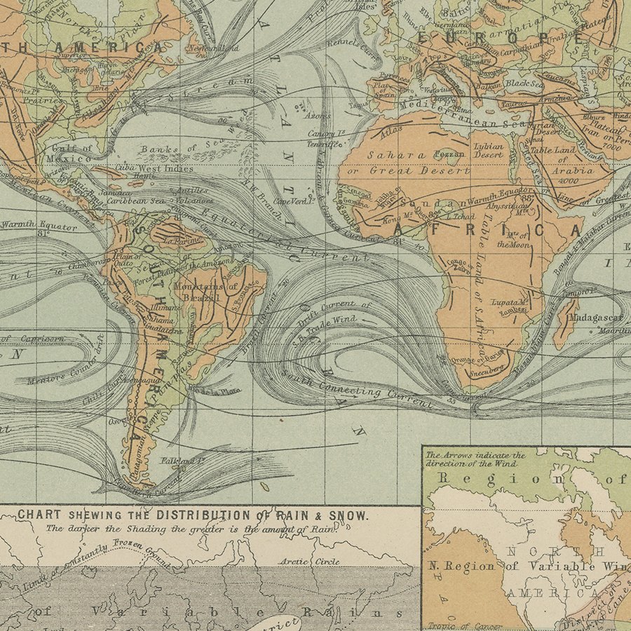
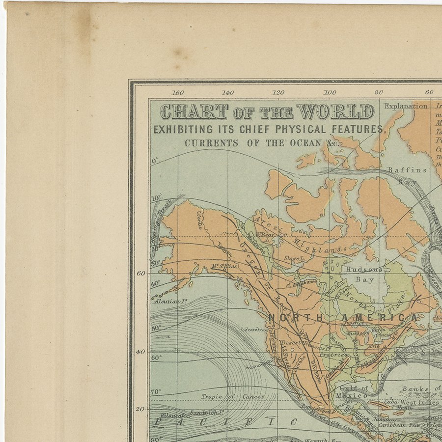
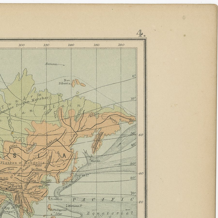
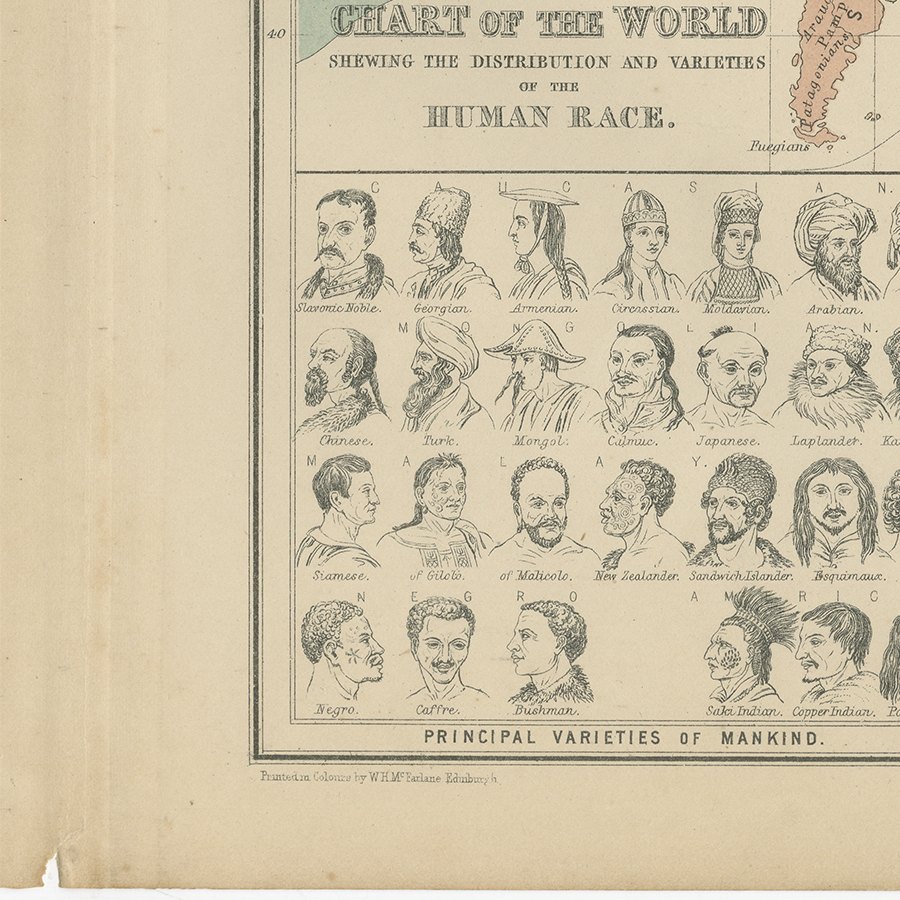
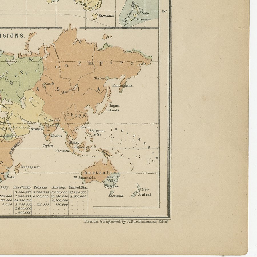
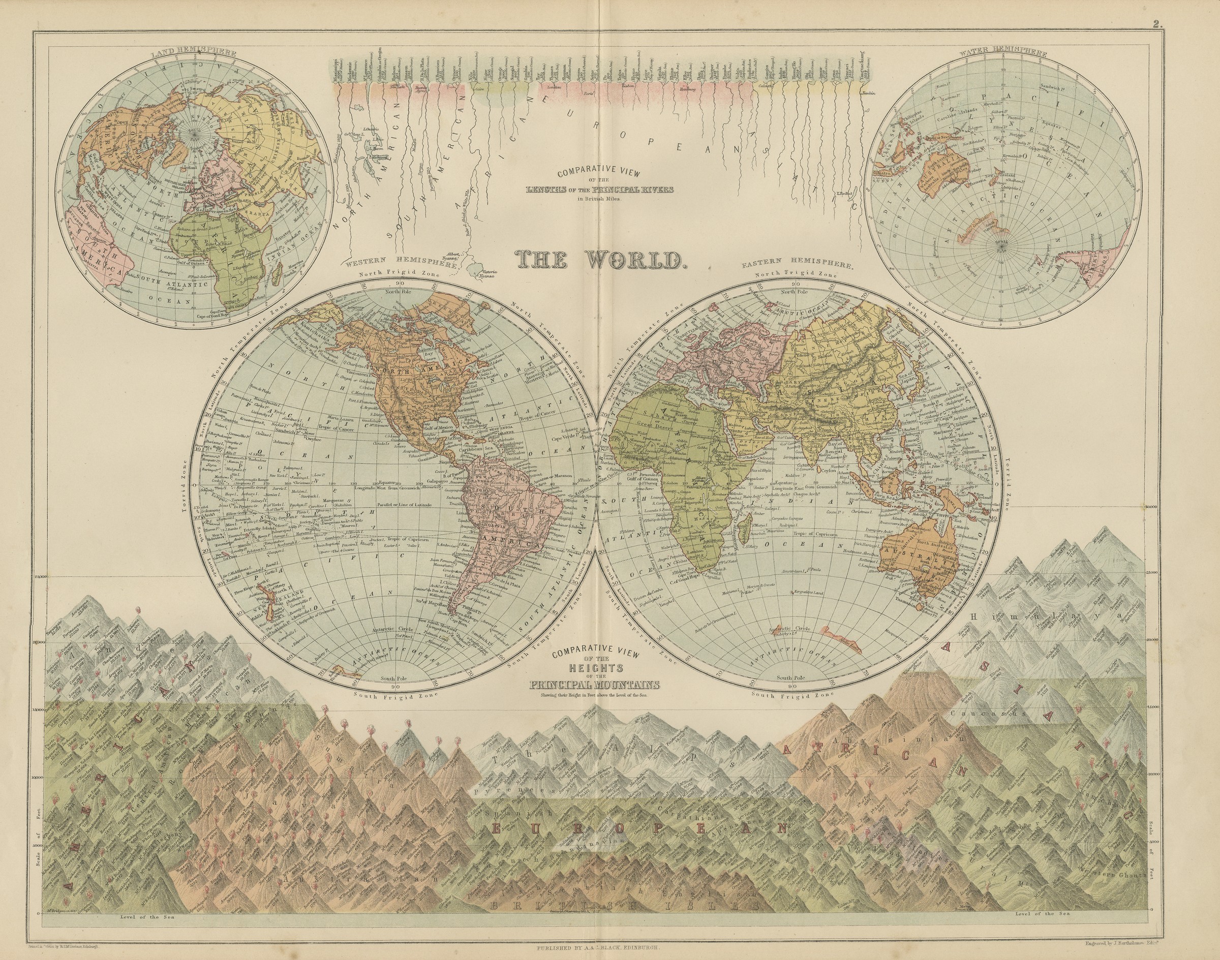
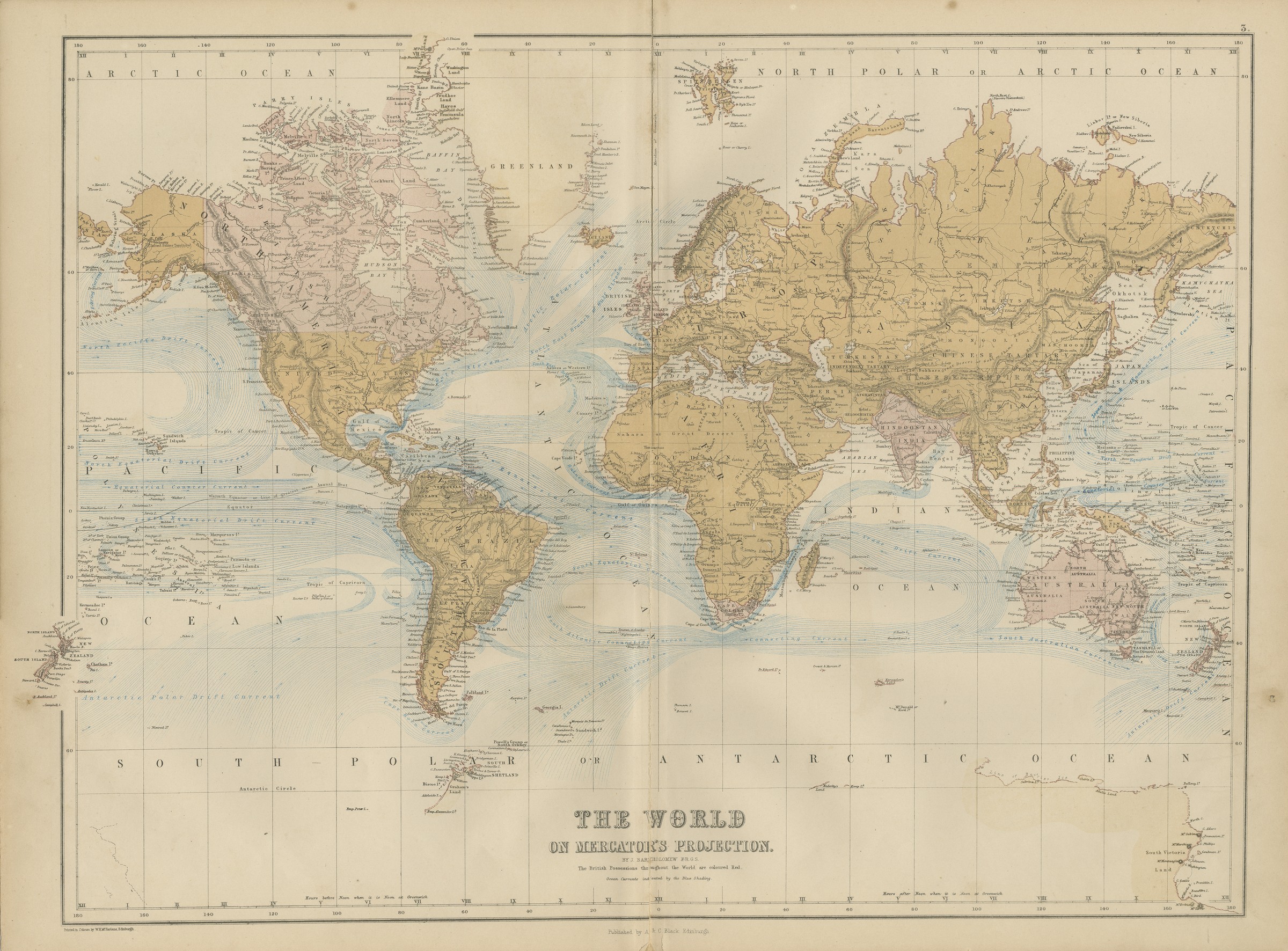
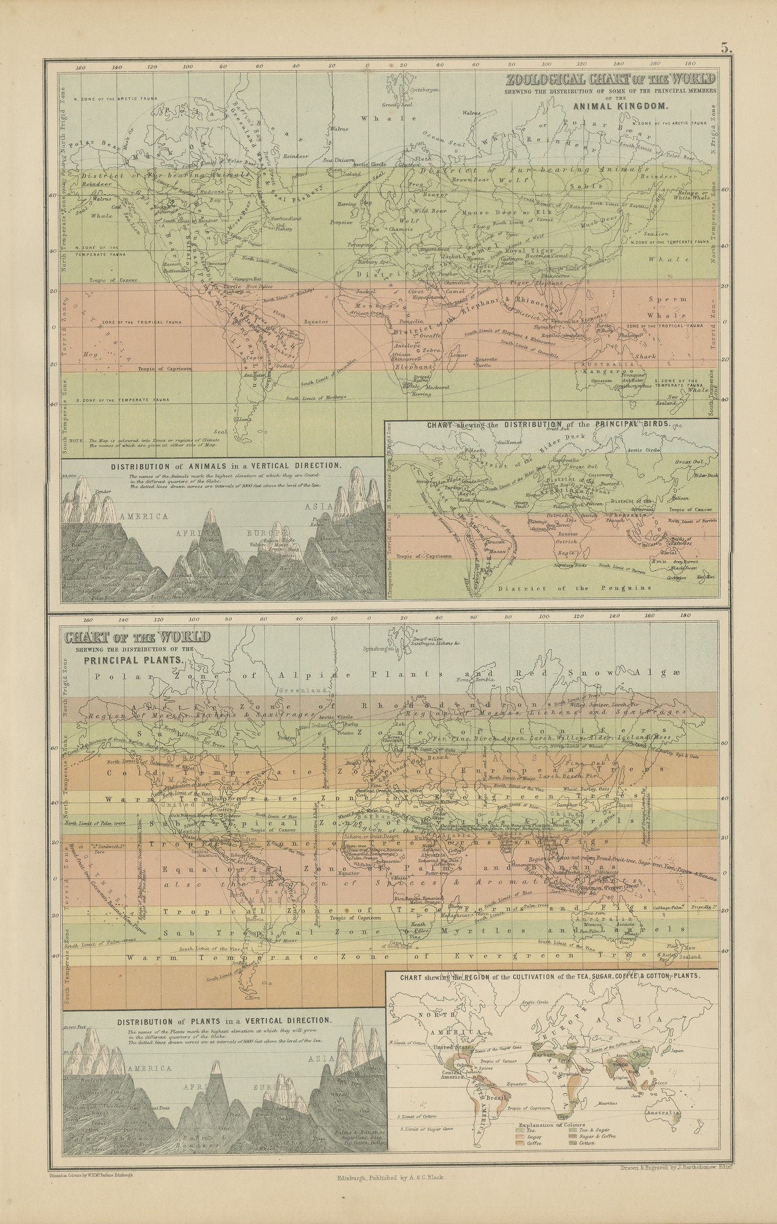
A sheet of thematic world charts, an early and very legible example of the statistical mapping that the middle of the nineteenth century invented and that is now collected as much for the history of data visualisation as for the geography. The plate carries a chart of the world exhibiting its chief physical features with the currents of the ocean, a chart shewing the distribution of the winds, a chart shewing the distribution of rain and snow, and an ethnographical chart of the world shewing the distribution and varieties of the human race, with keyed panels for the principal varieties of mankind, the prevailing religions and the languages, together with a figure for the estimated population of the world. The ethnographic and racial classification is of its period and is offered as a historical document. Framed, the grid of small globes reads as a very modern piece of graphic design.
Black's General Atlas of the World was the standard British household atlas of the middle nineteenth century, issued in Edinburgh by the publishing house of Adam and Charles Black, the firm better known to most readers as the publisher of Sir Walter Scott and of the Encyclopaedia Britannica. Its maps were engraved on steel, most of them under the direction of the Edinburgh cartographer John Bartholomew, whose clear lettering and restrained hill shading gave the atlas a legibility that its heavier rivals lacked. Successive issues were revised as boundaries moved and railways spread, so a sheet from Black's records the world as an educated Victorian reader understood it in the year the plate was printed.
Sheets from this atlas are sought after today both as reference cartography and as decorative material, the generous folio format suiting a wall quite as readily as a portfolio. Hung as a pair or a group, the plates make a handsome and genuinely informative wall.
The sheet is in good condition for its age, with light toning, a few small spots and some creasing and chipping along the left edge of the margin; the charts are clean.
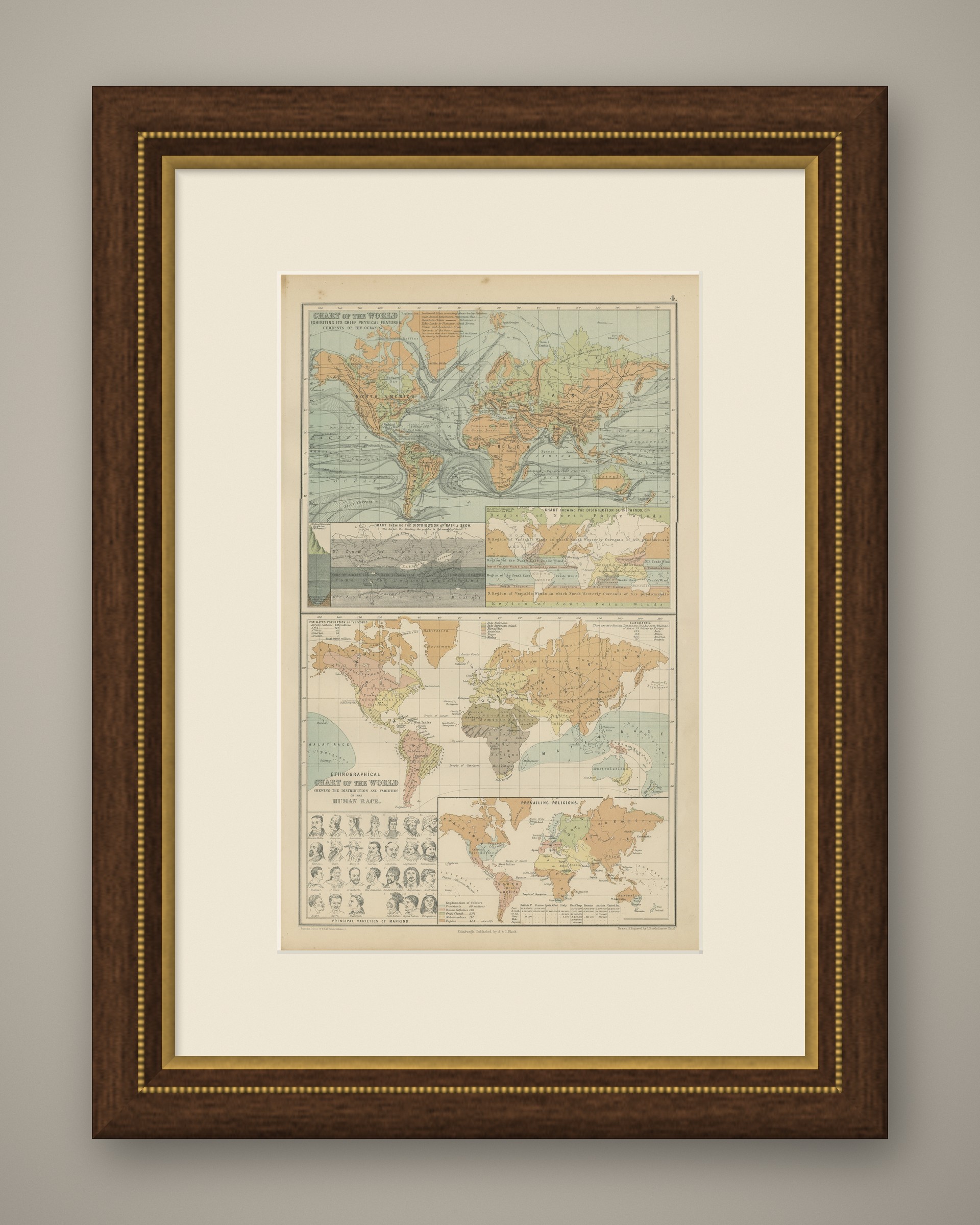
This is an original antique map, not a modern reproduction. This item is sold unframed. Any framed or interior images are shown for presentation and inspiration only, unless the listing explicitly states that the item is sold framed.