Original antique · The actual sheet photographed · Certificate of authenticity on request · Sold unframed · Worldwide shipping from € 15 (rates)
Date
1870
Sheet size
17.3 × 18.7 cm (6.8 × 7.4 in)
Condition
Good
Reference
BG-13190-18
What the condition grades mean
Excellent
Bright and clean, with no faults worth mentioning.
Very good
Only light signs of age, such as faint toning.
Good
Normal signs of age for a sheet of this period: toning, some foxing, small marks or neat old repairs.
Fair
Clear faults such as staining, tears or repairs, priced to match.
Every fault we see is written in the condition note, and the whole sheet is shown uncropped in the photos.
Condition
General age-related toning, minor wear. Blank verso. Please review the images for further condition details.
About this sheet
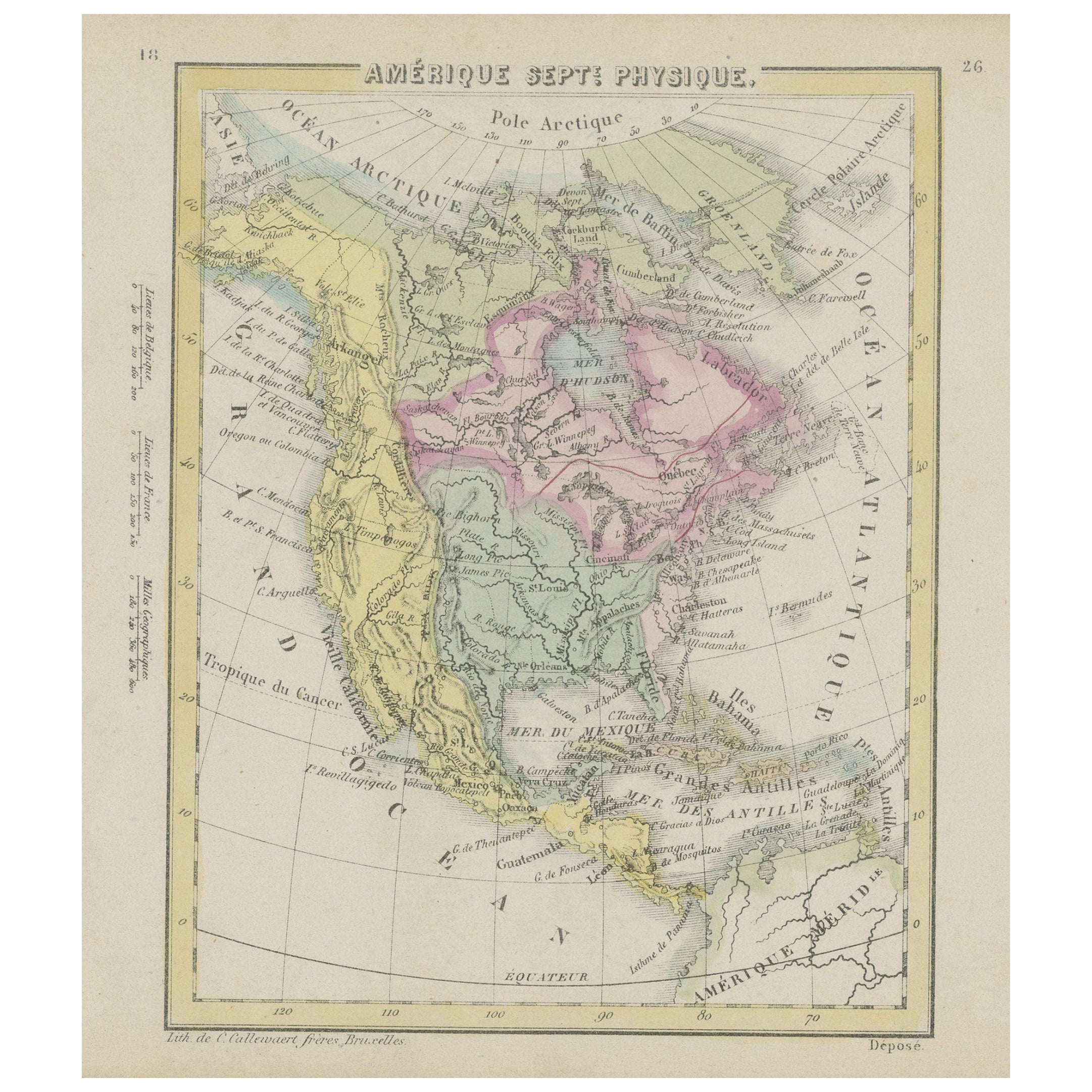
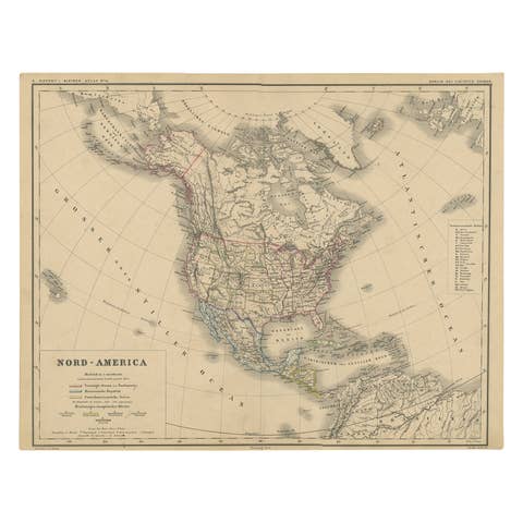
North America on a small lithographed map titled "Amerique septe. Physique", made by the Callewaert brothers of Brussels around 1870. It is a school-atlas sheet with hand color, and the legend "Depose" is lettered at the lower right.
The map shows the continent from the Arctic Ocean to the Isthmus of Panama, with the Pacific, the Atlantic and the Gulf of Mexico named around it. The United States is tinted green, Canada and the Hudson Bay territories pink, and Mexico and Central America in yellow and buff. The western coast shows Alta California and Oregon, the Great Lakes and the Mississippi are drawn clearly, and Baffin Bay, Greenland and Iceland appear at the upper right. The Bahamas and the Greater Antilles close the map to the southeast. Latitude and longitude lines curve across the sheet, and the left margin carries a scale in leagues, French miles and geographic miles.
The sheet is a compact physical map of the continent, which gives only the broad outlines of the states and territories of the United States.