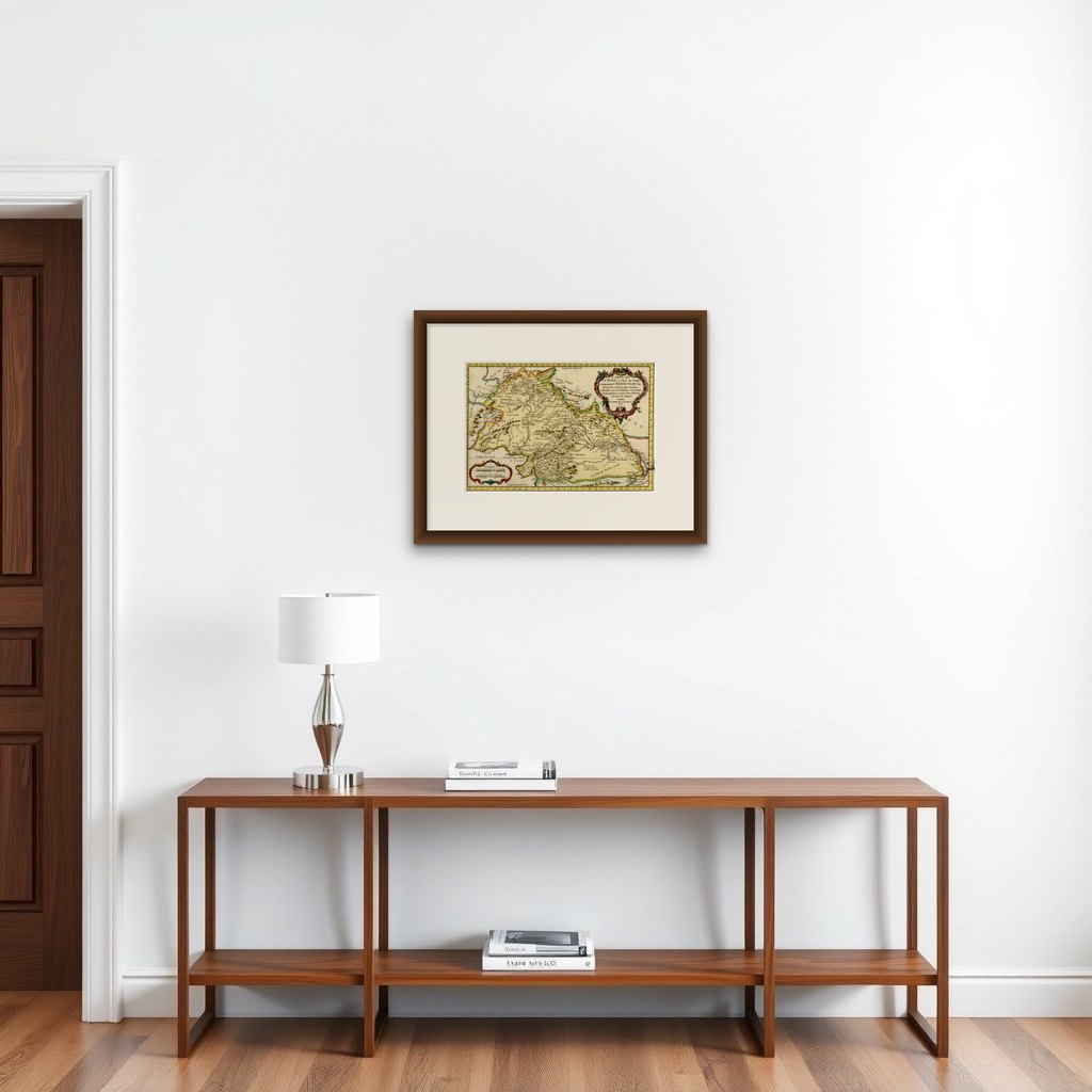
Nicely Hand-Colored Antique Map of Part of India, the Ganges & Hindustan, 1755
€ 640
Original antique · The actual sheet photographed · Certificate of authenticity on request · Sold unframed · Worldwide shipping from € 15 (rates)
Date
1755
Sheet size
26.1 × 36.4 cm (10.3 × 14.3 in)
Reference
PCT-52251
What the condition grades mean
Excellent
Bright and clean, with no faults worth mentioning.
Very good
Only light signs of age, such as faint toning.
Good
Normal signs of age for a sheet of this period: toning, some foxing, small marks or neat old repairs.
Fair
Clear faults such as staining, tears or repairs, priced to match.
Every fault we see is written in the condition note, and the whole sheet is shown uncropped in the photos.
Condition
Very good, given age. Original folds, as issued. General age-related toning and/or occasional minor defects from handling.
About this sheet
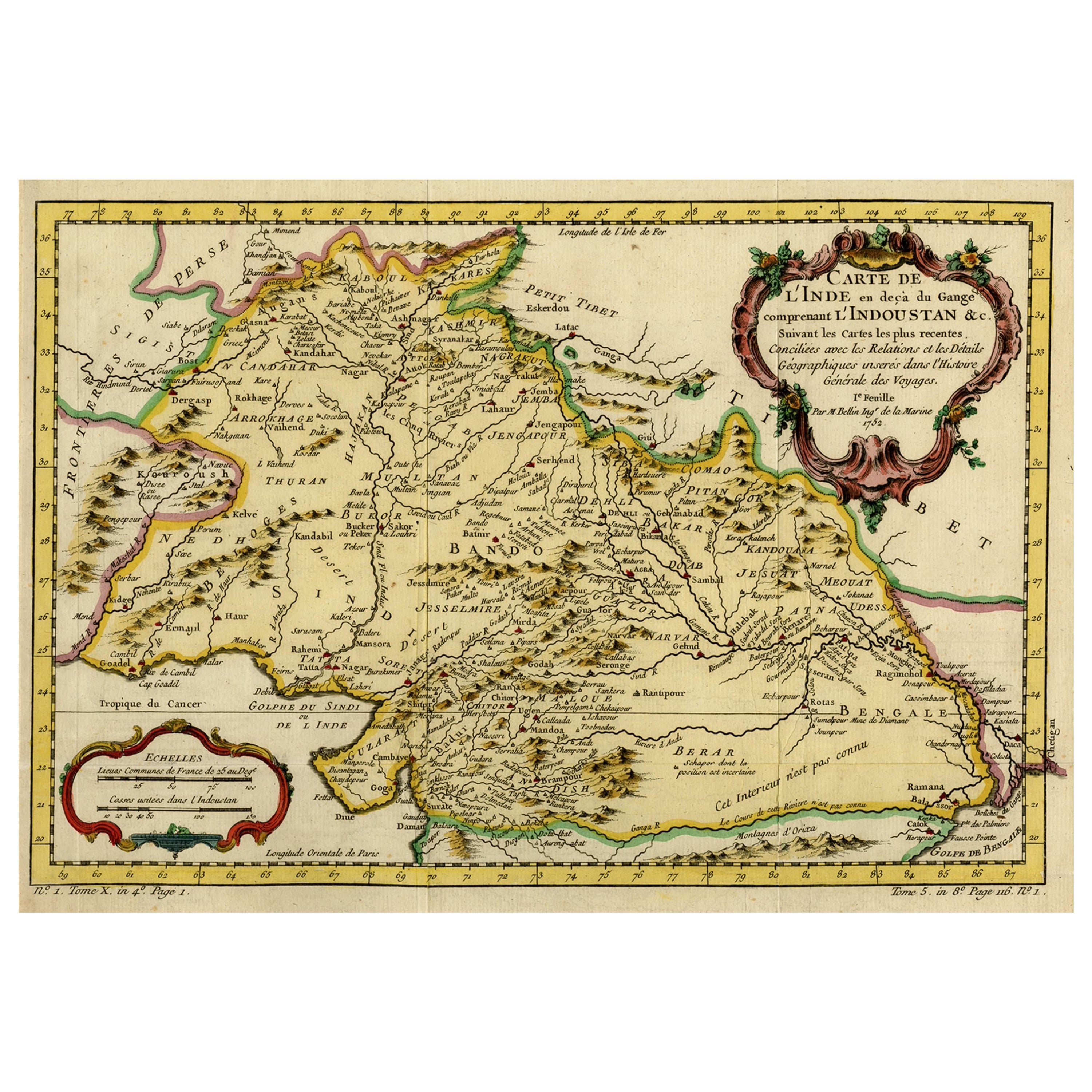
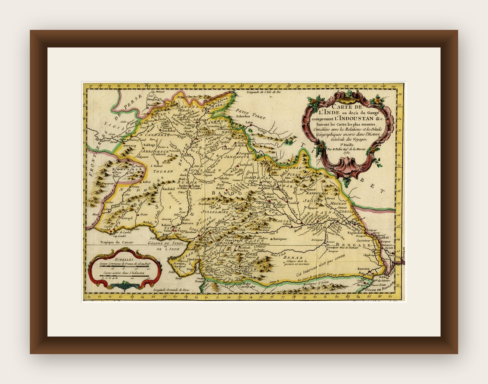
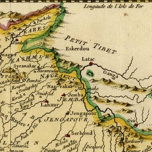
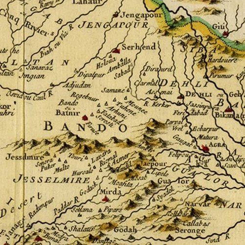
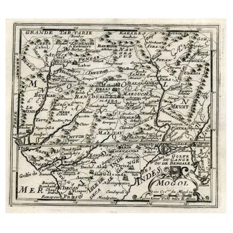
Antique map titled 'Carte de l'Inde en deca du Gange comprenant l' Indoustan (..)'
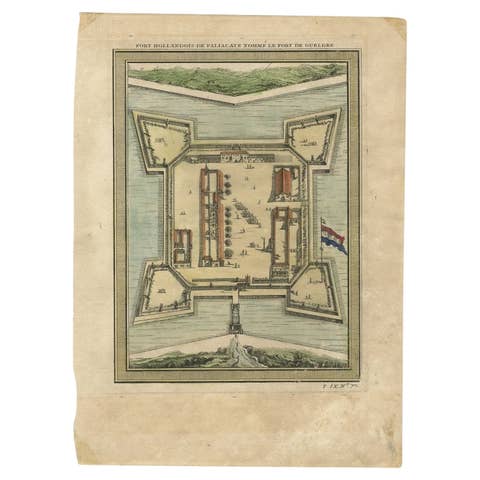
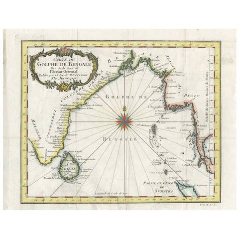
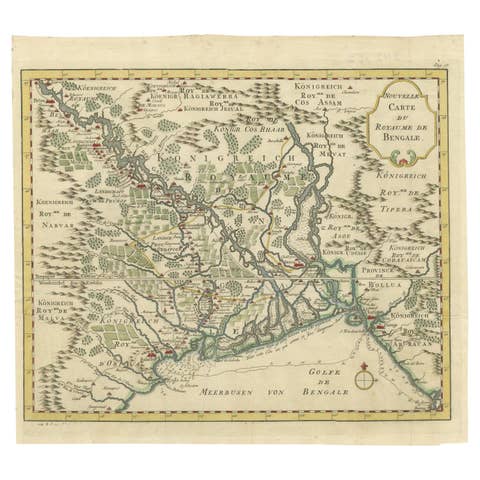
A map of part of India, the Ganges and Hindustan. From: Antoine Francois Prevost d'Exiles' (or Abbe Prevost's) multi-volume "Histoire Generale Des Voyages" (1746-1759): ultimately 17 quarto volumes recounting major voyages of discovery and descriptions of far flung parts and including around 240 maps, plans and charts of those areas. These maps, plans and charts were mostly produced by Jacques Nicolas Bellin, the influential French hydrographer. Bellin's work spans from around 1740 to the 1770s; interestingly he signed his plates in a variety of styles - J. Bellin, N. Bellin, N.B., M.B. (Monsieur Bellin) and S.B. (Seigneur Bellin).
Artists and Engravers: Jacques-Nicolas Bellin (1703-1772) was a French hydrographer, geographer and member of The Philosophes. His career, spanning over 50 years, caused an enormous outpt in maps, particular of maritime interest.