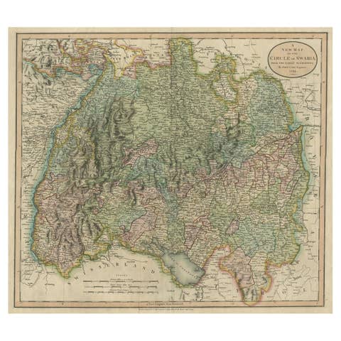
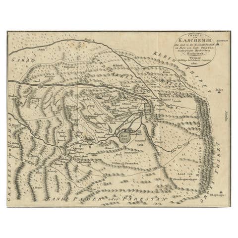
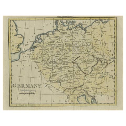
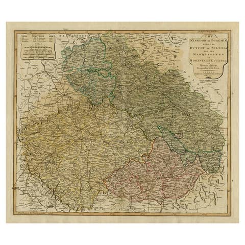
Original Antique Map of Munich, Germany by J. Stockdale, 1800
€ 340
One of a kind: this is the sheet in the photographs. Ships from Langweer, the Netherlands.
Date
1800
Sheet size
23 × 29.4 cm (9.1 × 11.6 in)
Condition
Good
Reference
BG-13842-3
Condition
Condition report: Overall in good condition. Minor toning at the edges and very slight foxing in the margins. Colors remain vibrant, and the paper is well-preserved, retaining its crispness.
About this sheet
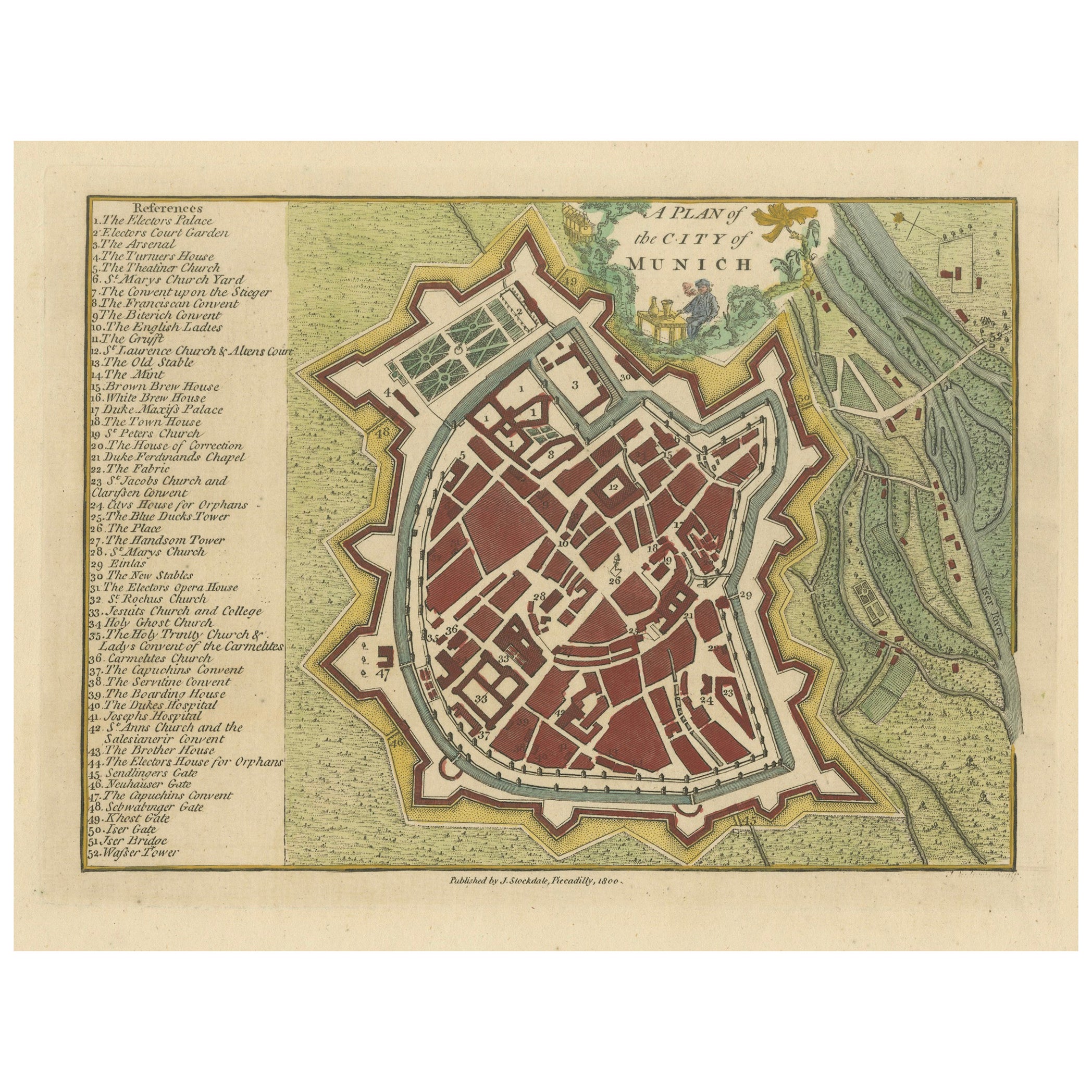
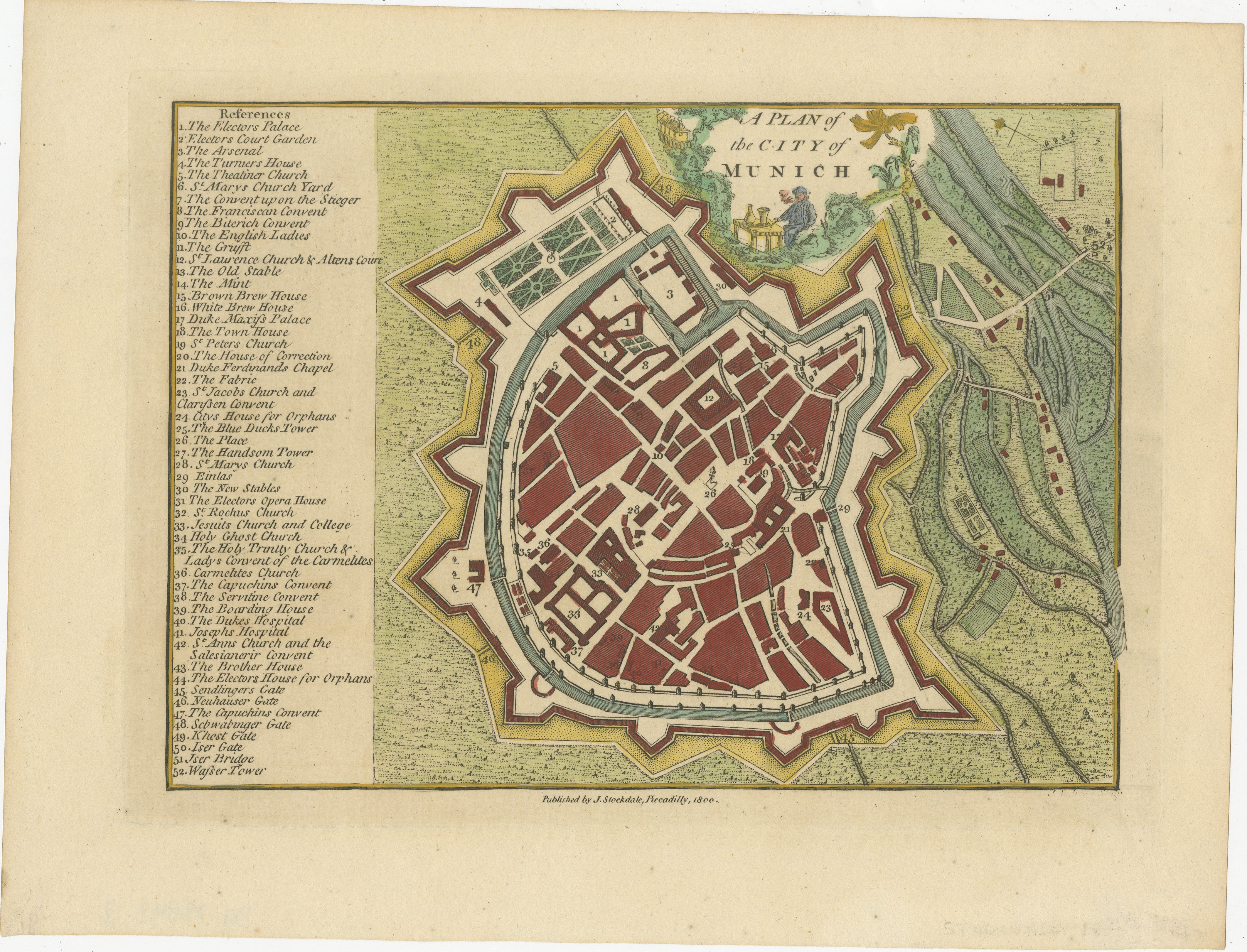
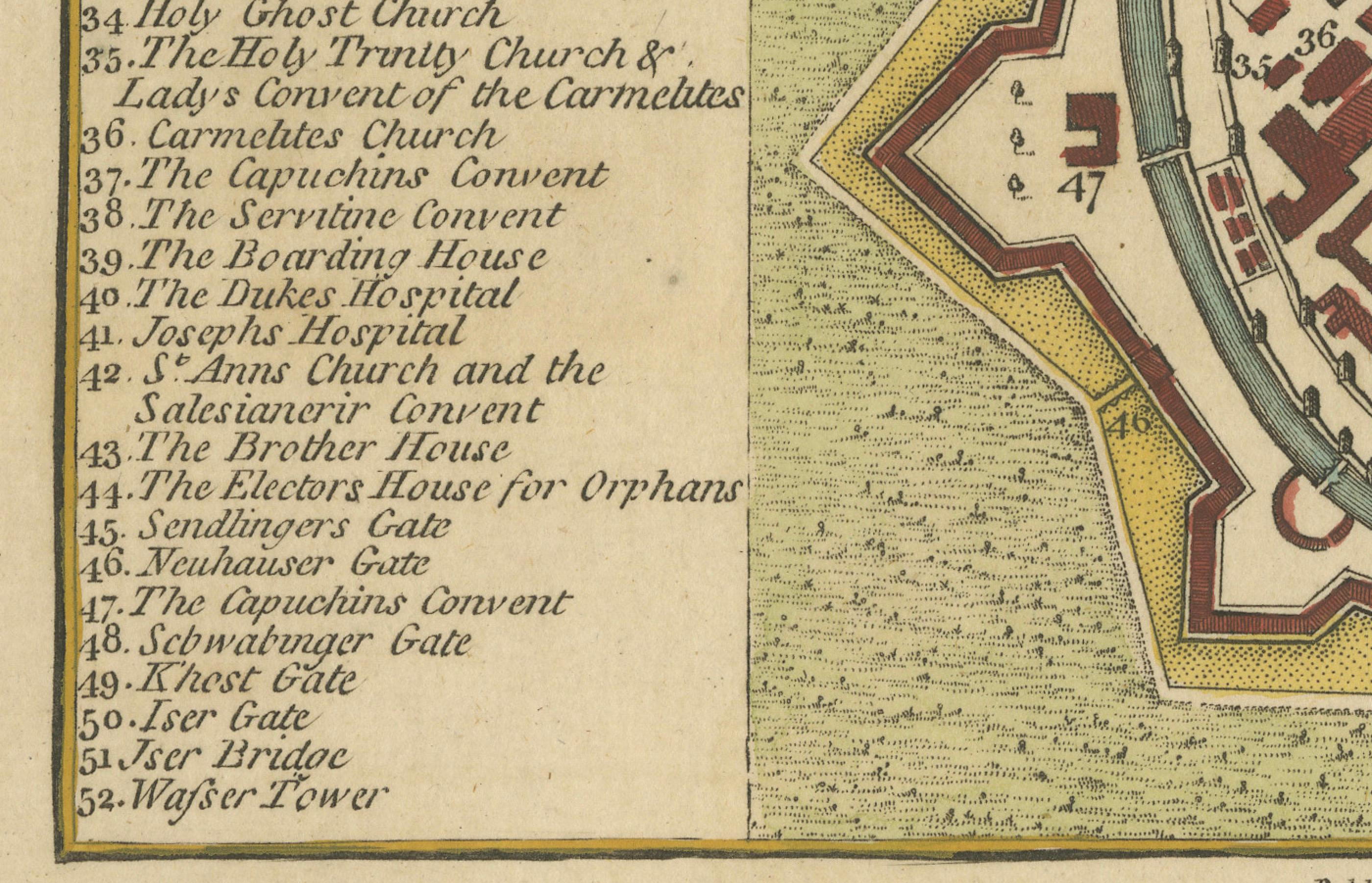
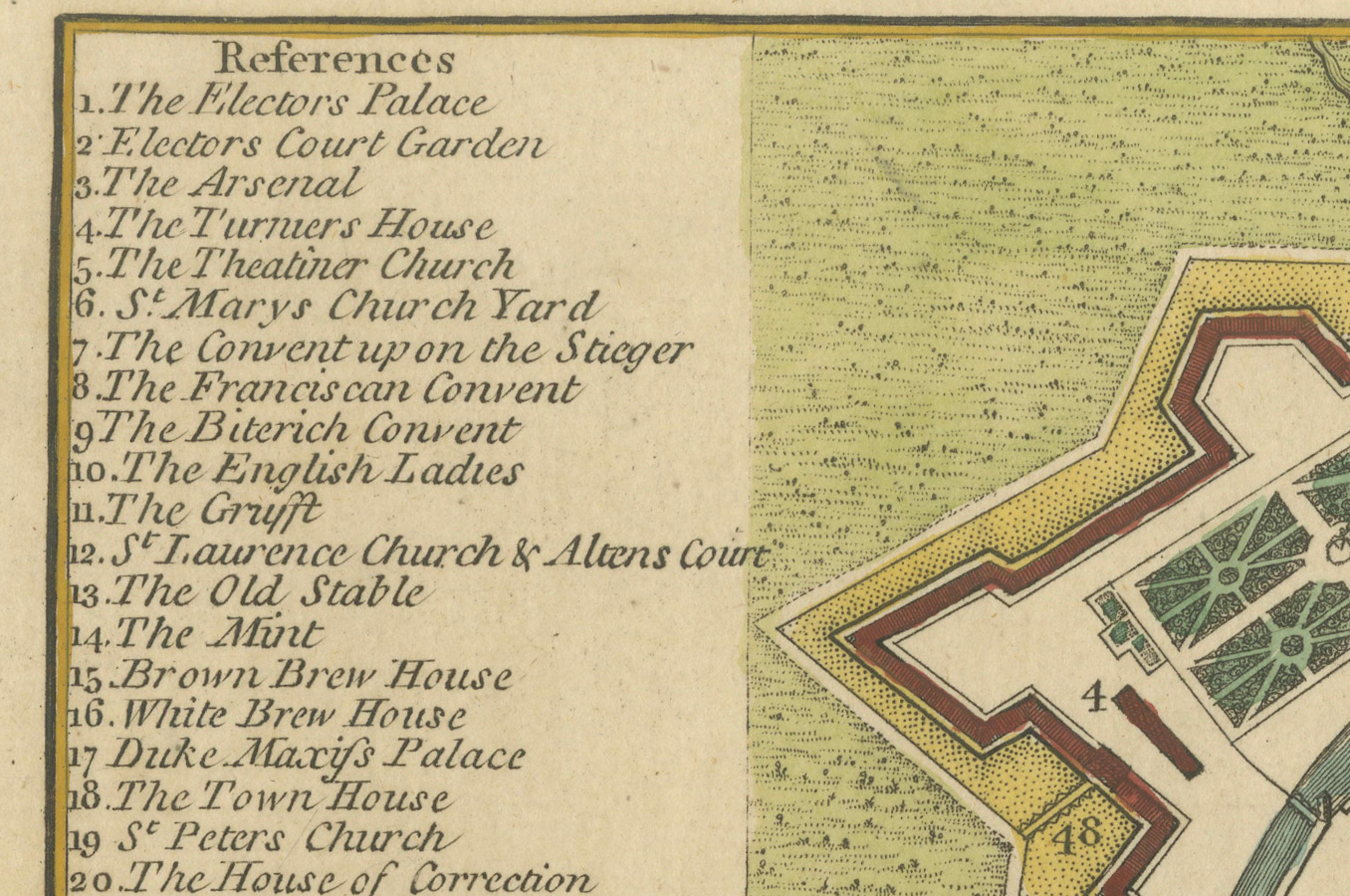
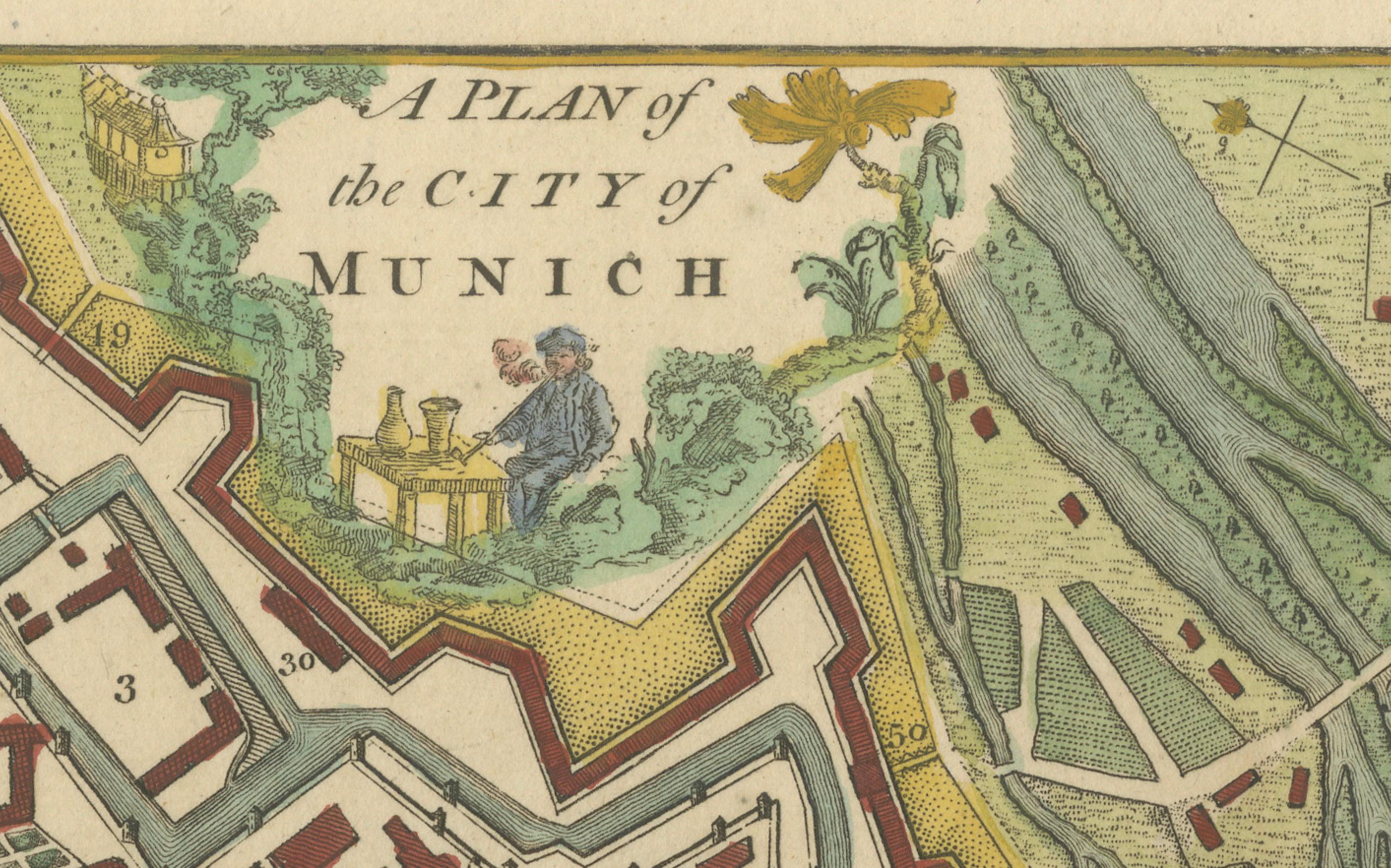
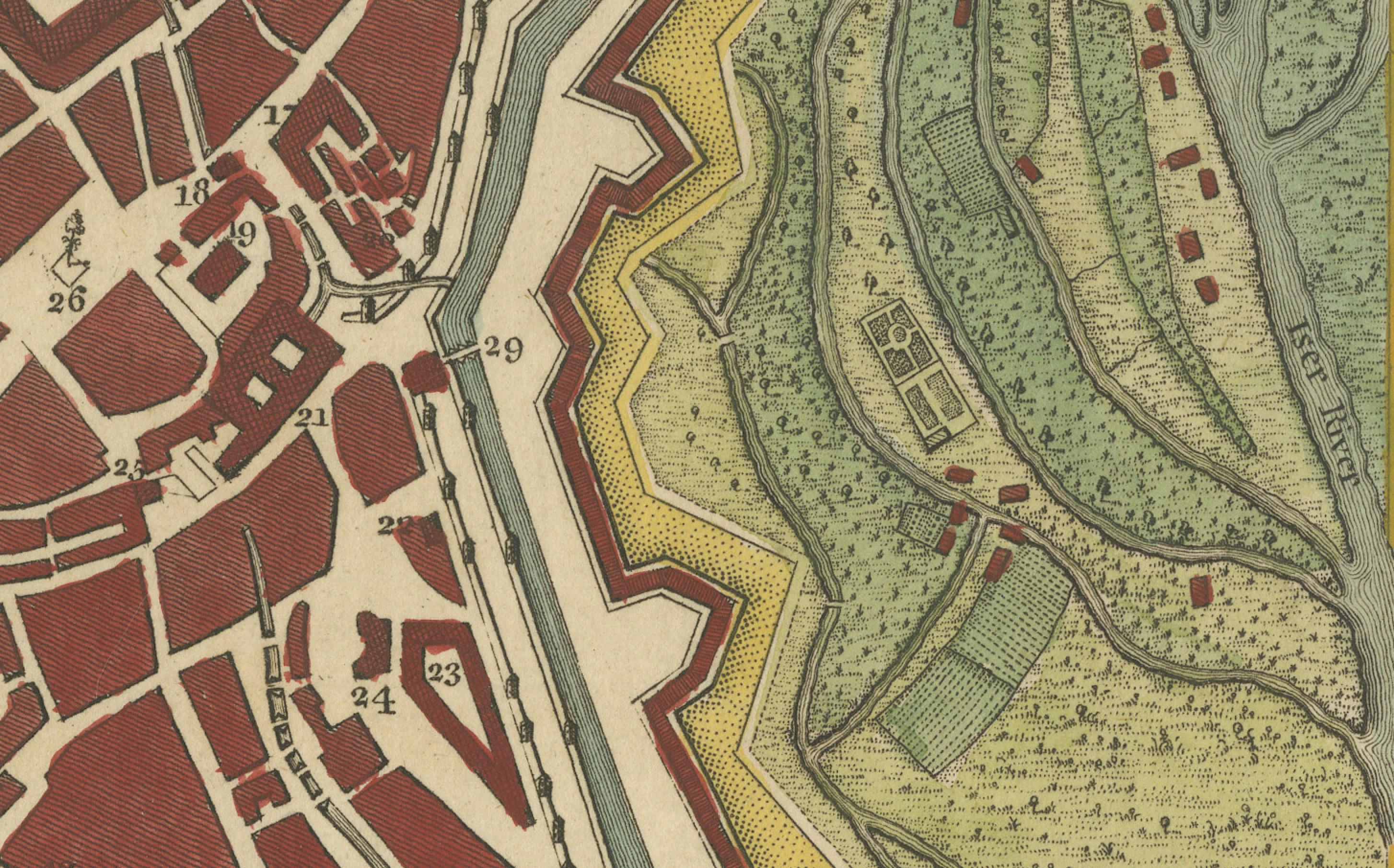
This vintage map, titled "A Plan of the City of Munich," was published by J. Stockdale in Piccadilly, London, in 1800. The map offers a detailed depiction of Munich, highlighting its key landmarks, defensive walls, and the surrounding landscape. Prominent structures and areas are numbered, corresponding to the reference list, which includes significant sites such as the Elector's Palace, Arsenal, Theatre, St. Peter's Church, and several convents and gates.
The layout showcases Munich's intricate street pattern and fortified boundaries, reflecting the city’s historical architecture and urban design. Notable buildings and gardens are depicted, providing insight into the cultural and political hubs of the period. The delicate hand-coloring of the map emphasizes both the urban landscape and the greenery of the city surroundings, which adds to the visual appeal of this historical piece.
Condition report: The map is in good condition with minor toning, particularly around the edges. There is very light foxing in the margins. The colors remain vivid, and the paper is well-preserved, maintaining clarity and crispness.