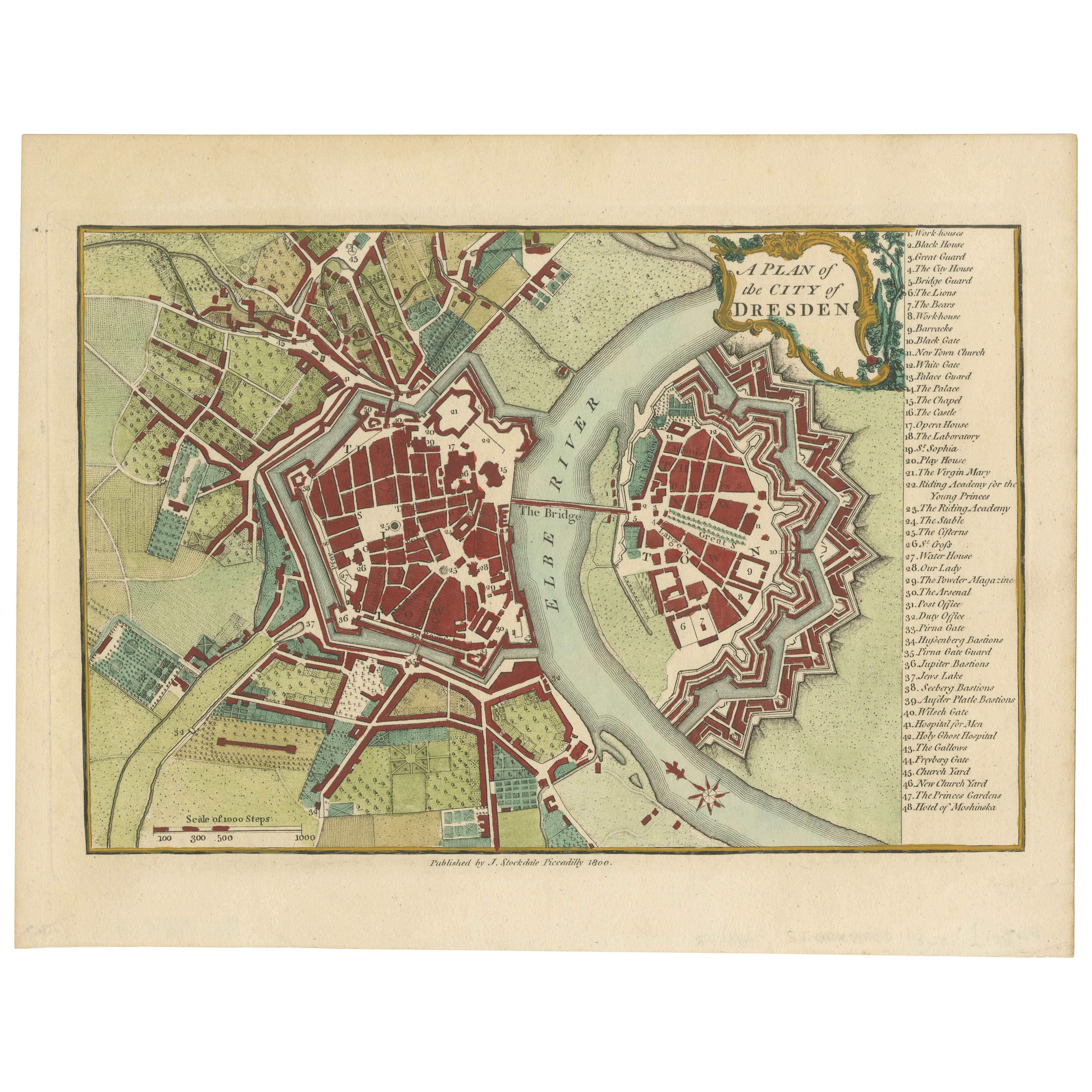
Original Antique Map of Dresden, Germany by J. Stockdale, 1800
€ 340
One of a kind: this is the sheet in the photographs. Ships from Langweer, the Netherlands.
Date
1800
Sheet size
23 × 29.4 cm (9.1 × 11.6 in)
Condition
Good
Reference
BG-13842-2
Condition
Condition report: Overall in good condition. Minor toning at the edges and very slight foxing in the margins. Colors remain vibrant, and the paper is well-preserved, retaining its crispness.
About this sheet
Vintage Map of Dresden, Germany by J. Stockdale, 1800
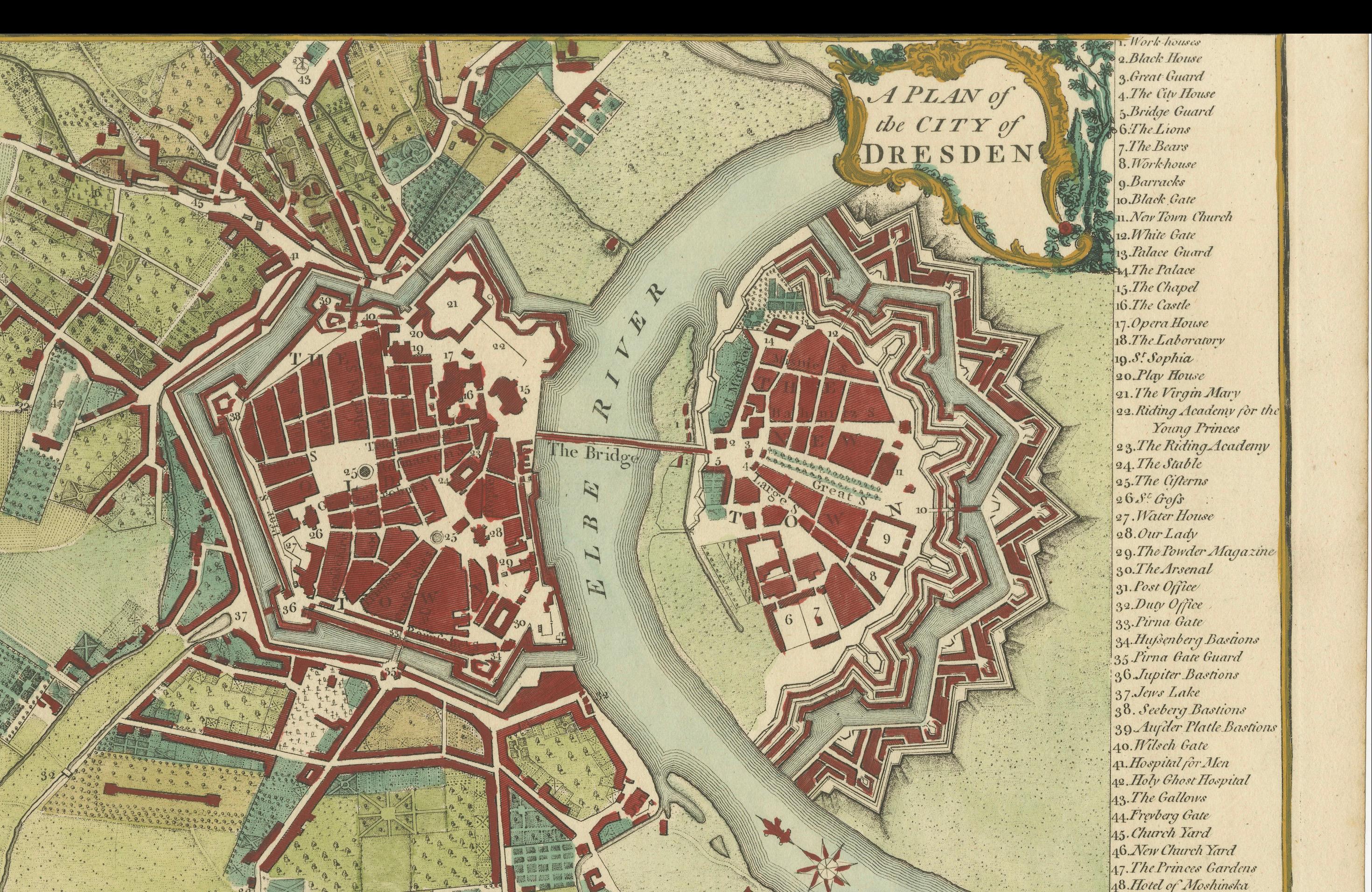
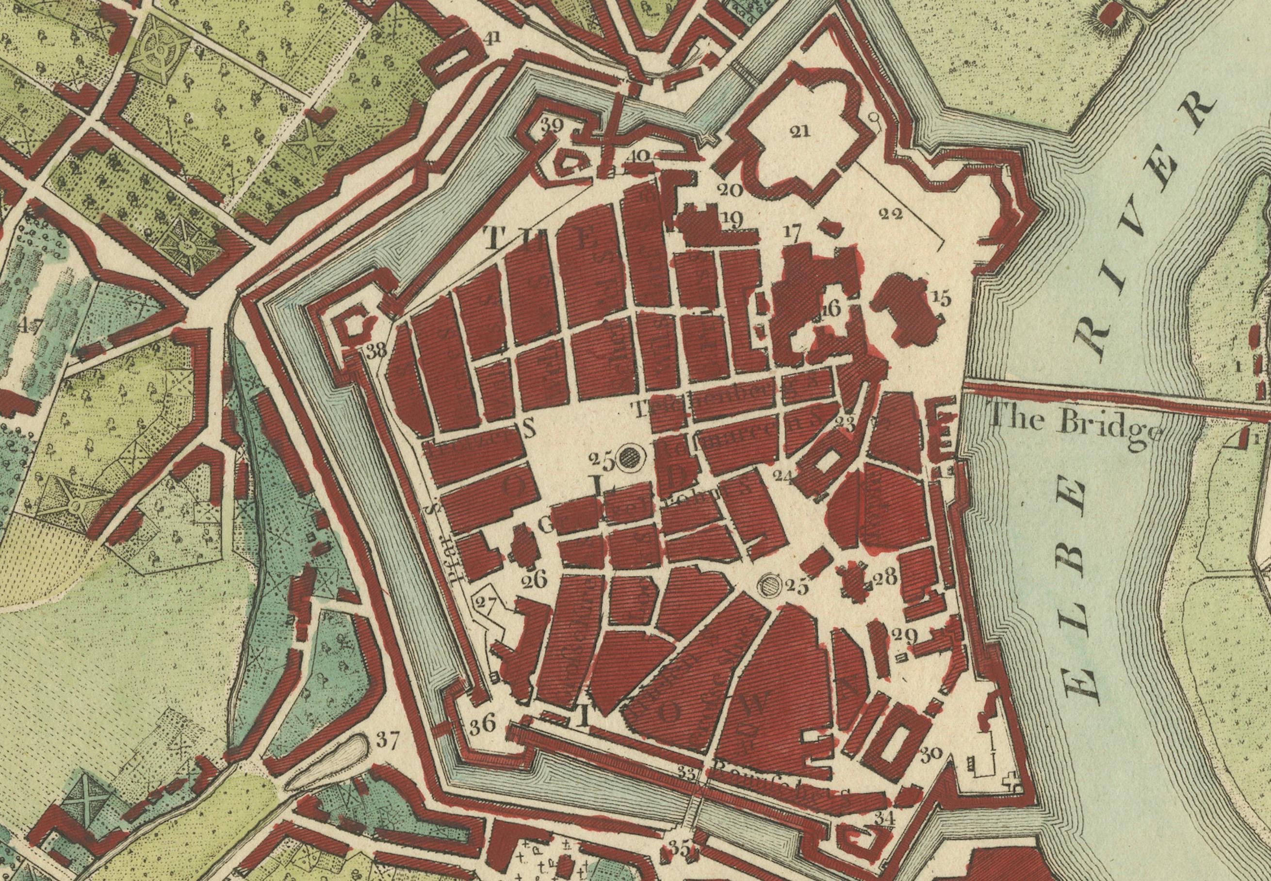
This vintage map titled "A Plan of the City of Dresden" was published by J. Stockdale in Piccadilly, London, in 1800. It provides a detailed layout of the city of Dresden, Germany, highlighting key landmarks and city structures. The Elbe River prominently divides the map, with Dresden's iconic fortifications and bridges connecting the two sections. Various locations are numbered and listed, providing information about significant sites such as the palace, arsenal, and churches.
The map features intricate engravings and is colored to distinguish between different parts of the city, fortifications, and green spaces. The delicate line work combined with the rich coloring makes this map both informative and aesthetically pleasing. It gives viewers an authentic look at the city's strategic layout, including defensive bastions, the castle, and important civic buildings of the time.
Condition report: Overall in good condition. Minor toning at the edges and very slight foxing in the margins. Colors remain vibrant, and the paper is well-preserved, retaining its crispness.