About this sheet
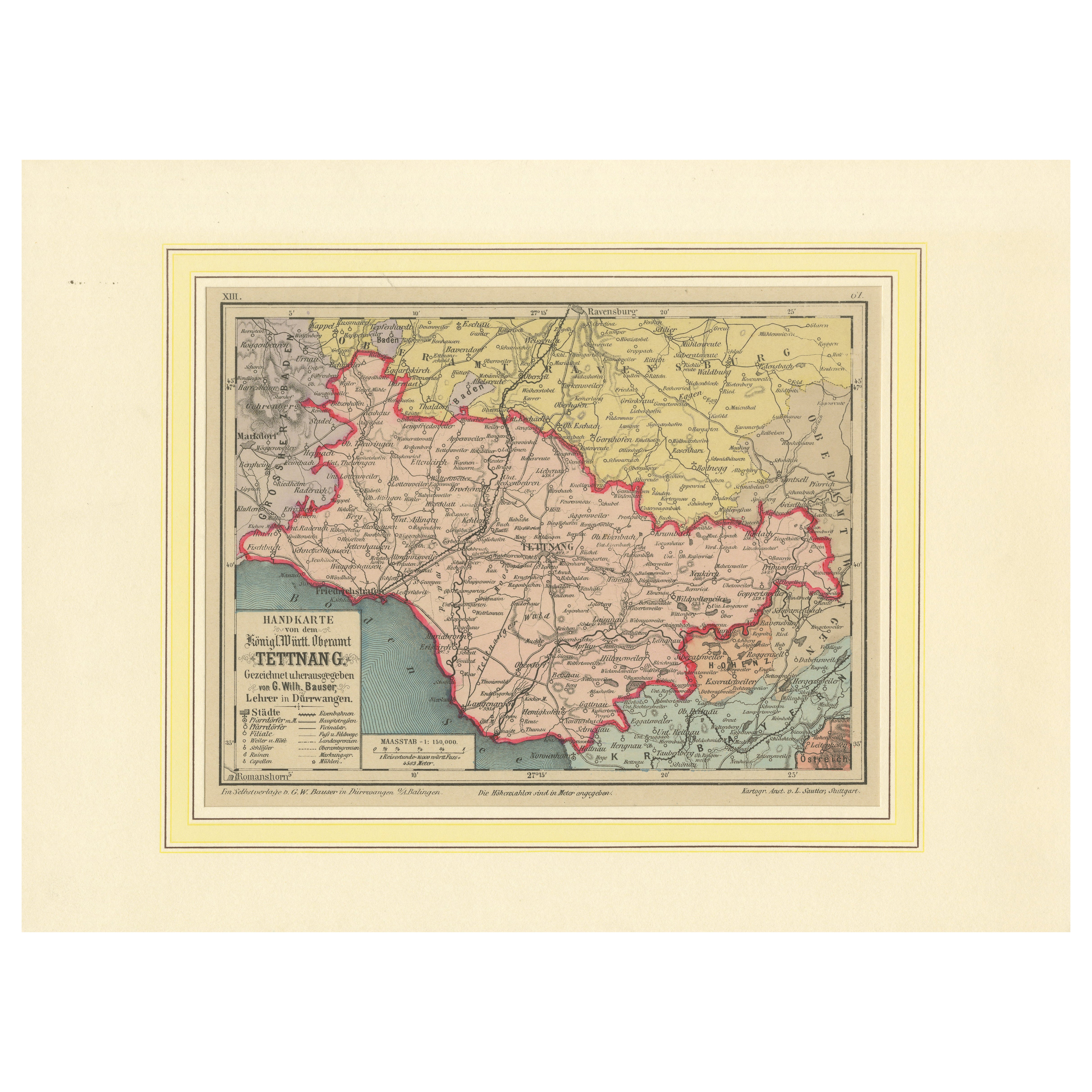
Administrative Map of the Kingdom of Württemberg, Oberamt Tettnang, circa 1885
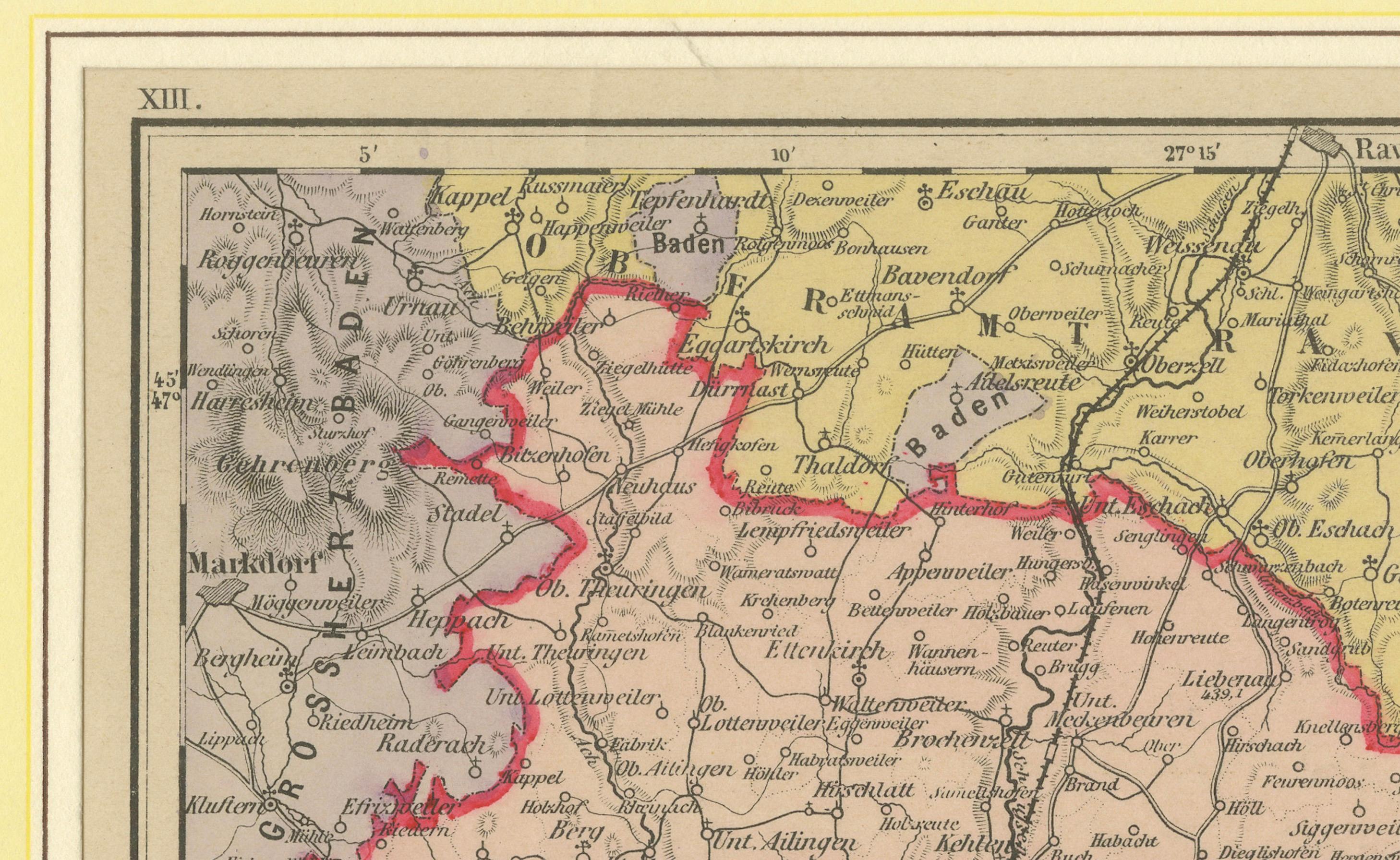
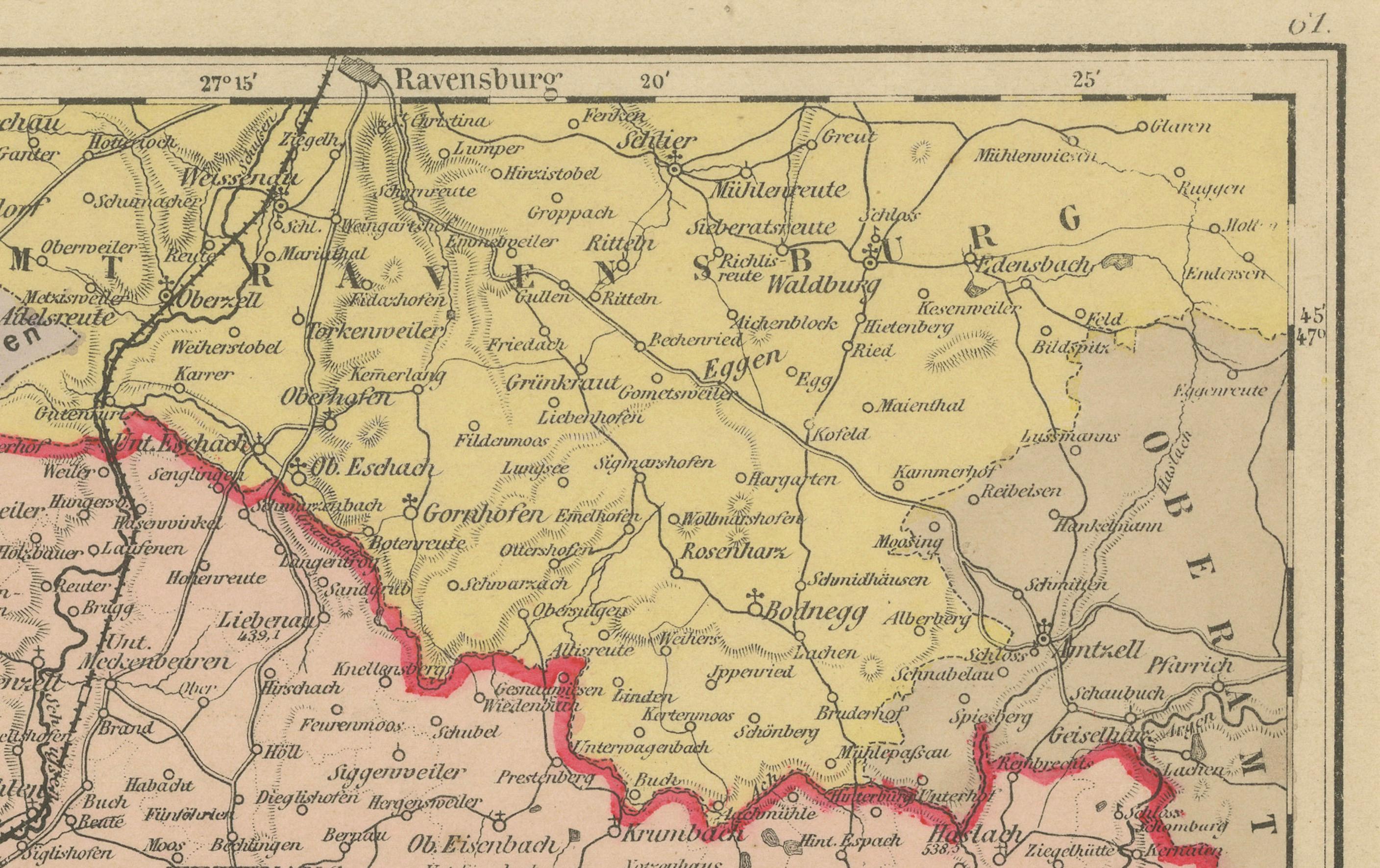
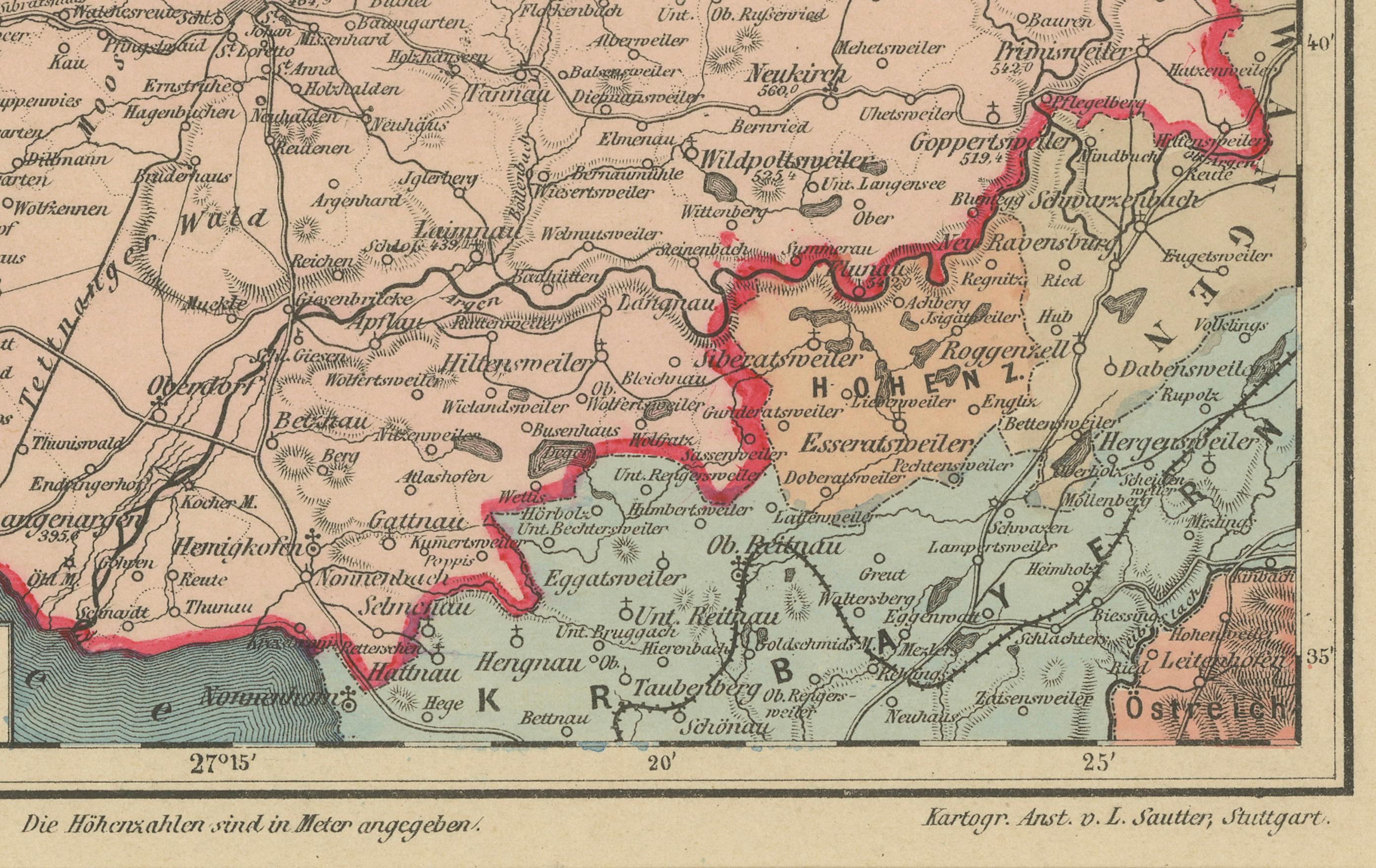
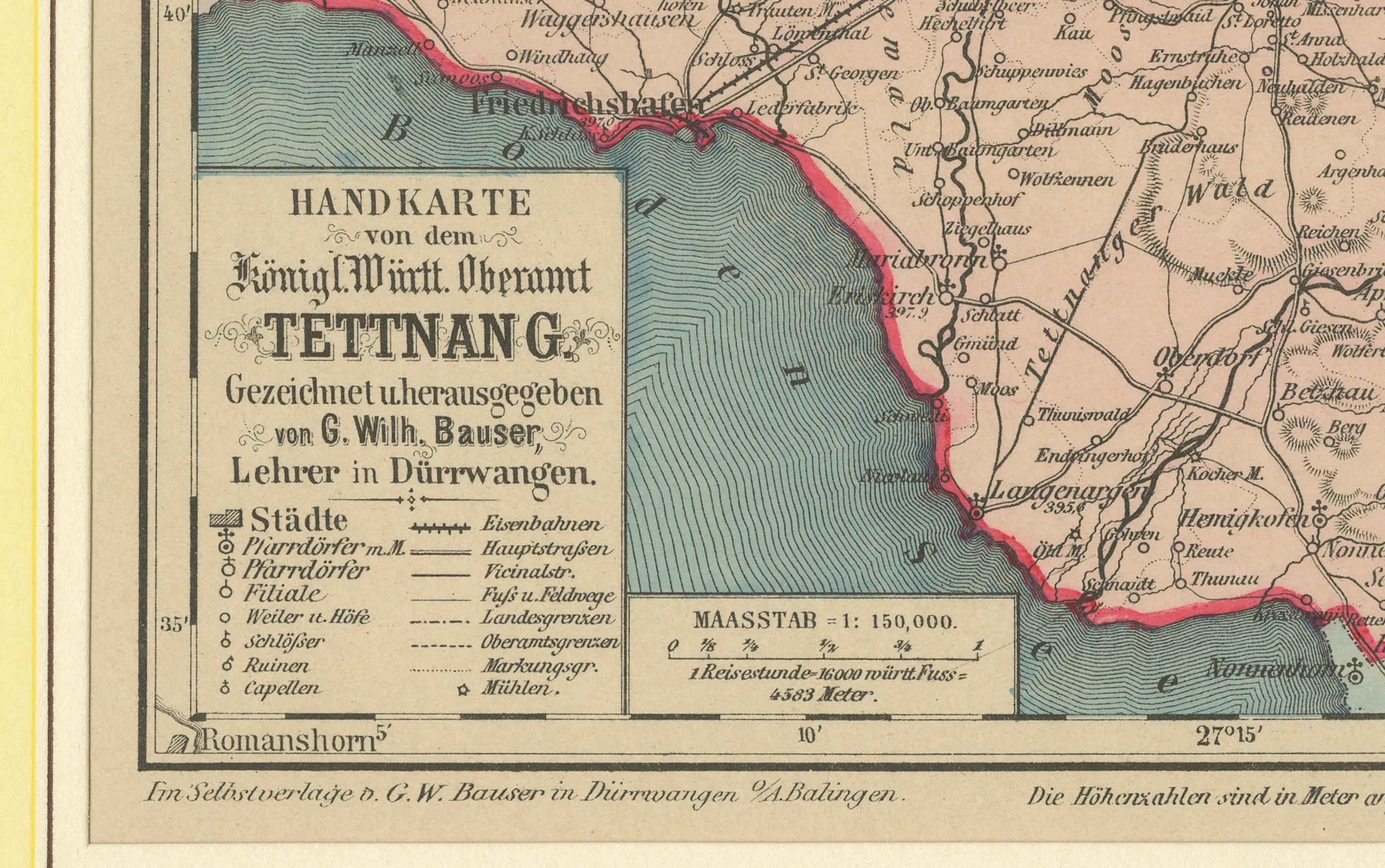
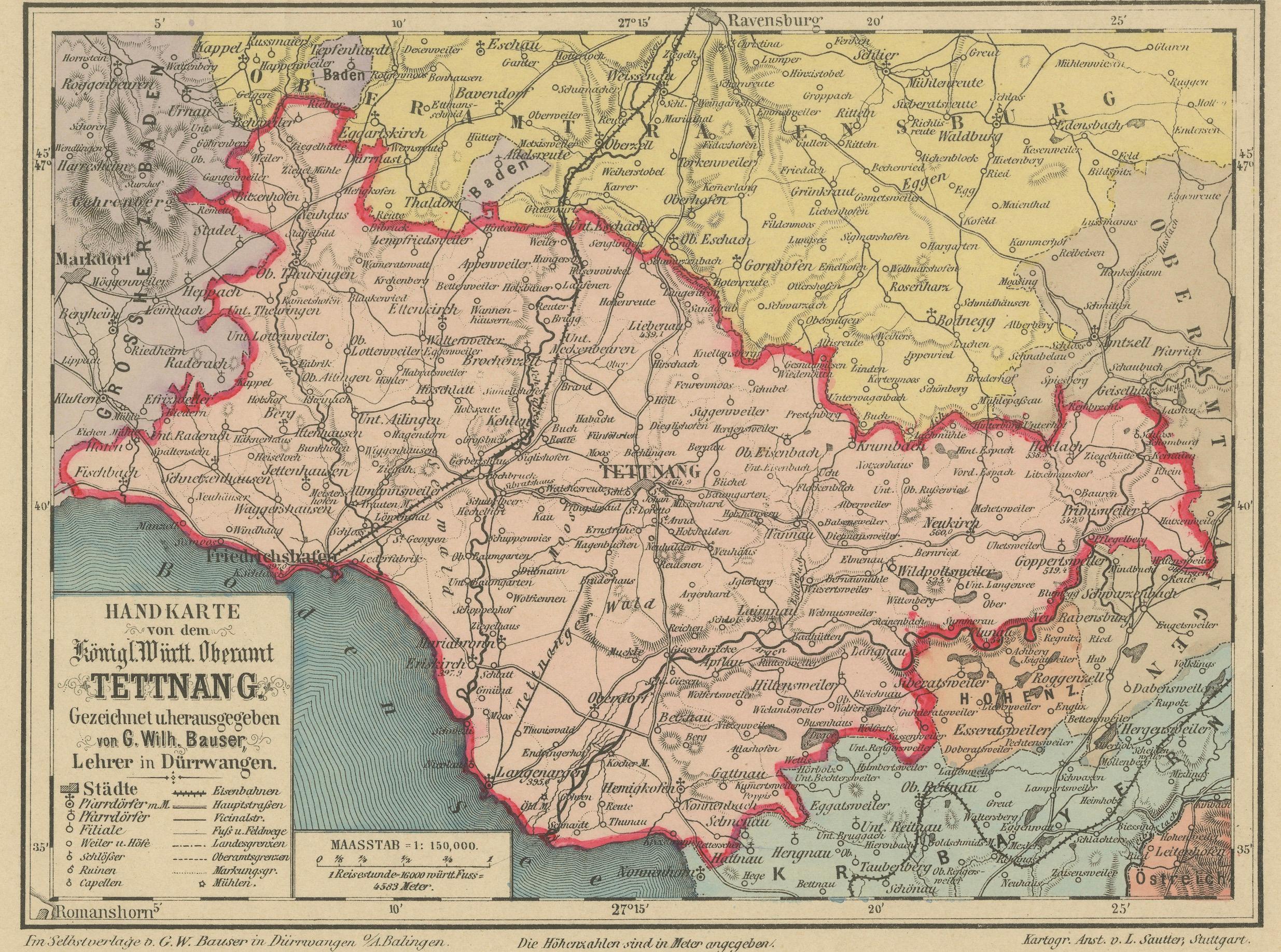
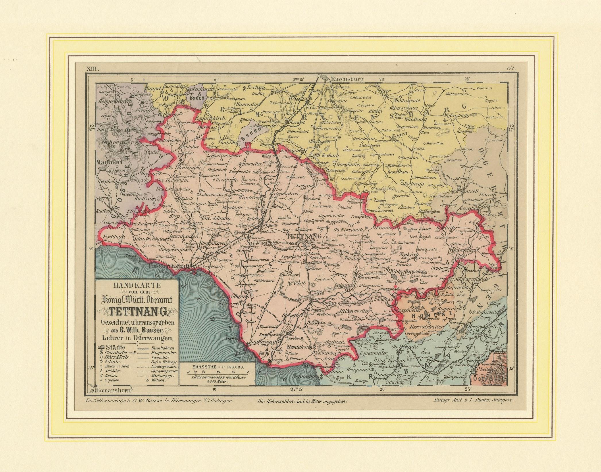
This detailed antique map titled "Handkarte von dem Königl. Württ. Oberamt Tettnang" was created by G. Wilhelm Bauser and published in Stuttgart in 1885 as part of his renowned hand atlas of the Kingdom of Württemberg. A prime example of late 19th-century German cartography, the map captures the administrative division known as Oberamt Tettnang in exceptional detail, including topographical features, jurisdictional boundaries, and settlements of varying status.
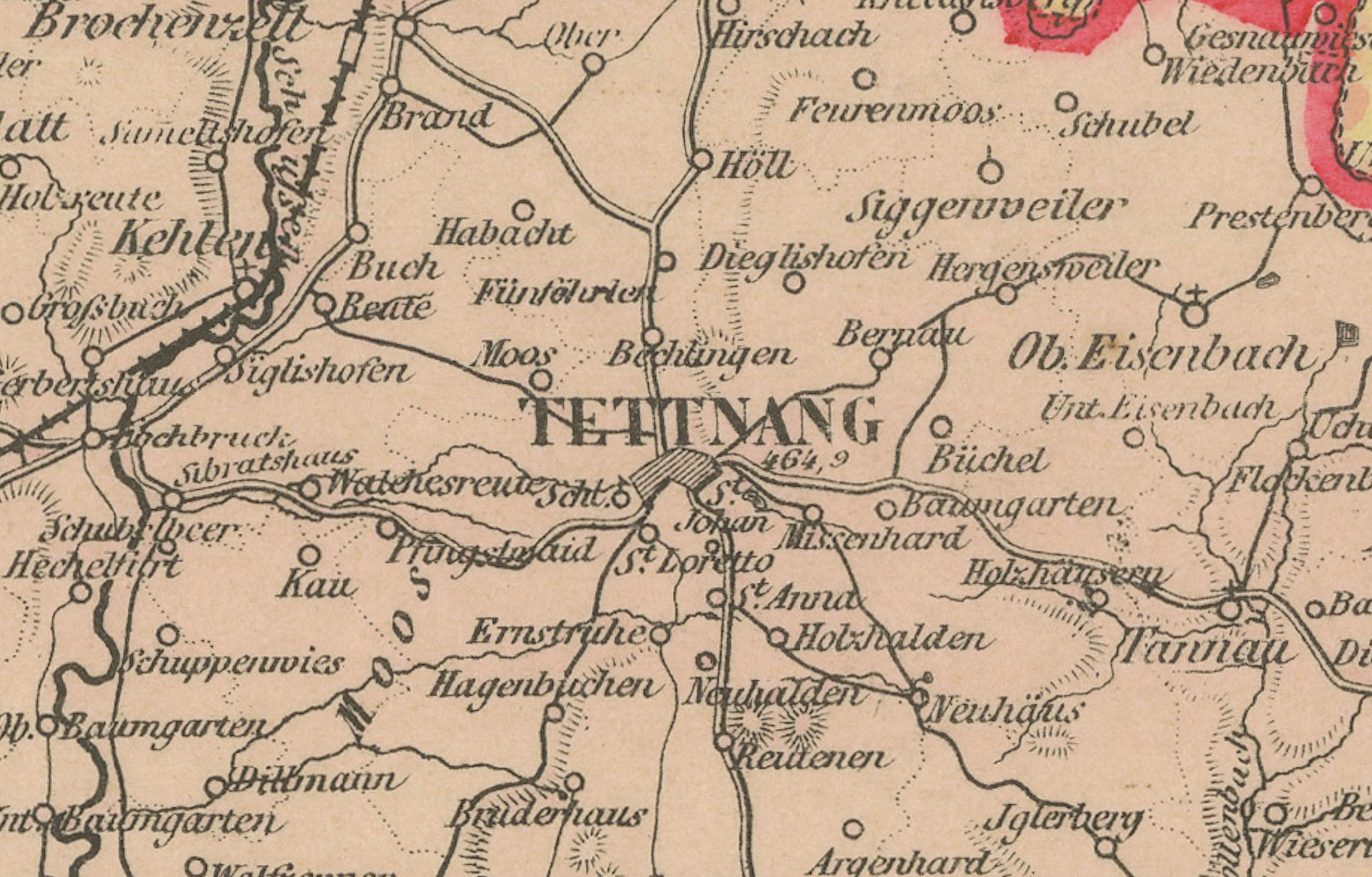
Highlighted with finely hand-colored borders, this map delineates towns, villages, parishes, castles, ruins, mills, chapels, as well as roads, railways, and footpaths. Tettnang, the principal town, is situated near the northern shores of Lake Constance (Bodensee), and the district is shown with its extensive connections to surrounding territories including Ravensburg, Wangen, and the Prussian exclave of Achberg. The administrative region is bordered in red and colored in soft pastel hues to distinguish it from neighboring jurisdictions.
Historically, the region transitioned through complex sovereignties. Formerly part of Anterior Austria, it included domains held by the Habsburgs, Imperial cities such as Ravensburg and Lindau, and numerous ecclesiastical and noble estates. After the Peace of Pressburg in 1805 and the Paris Treaty of 1810, Tettnang was incorporated into Württemberg. The map not only reflects its historical borders but also its transformation into a cohesive administrative entity. By 1885, this region had strategic relevance due to its shoreline on Lake Constance and its evolving infrastructure.
This map is not only a rich historical document but also a beautifully executed lithograph reflecting the precision and aesthetics of 19th-century German mapping traditions. It appeals to collectors of historical cartography, regional historians, and admirers of visual representations of territorial development in Central Europe.
Condition Report:
Excellent condition with sharp impression and original hand-coloring intact. Light age toning along margins and a few minor spots typical for the period. No tears or repairs. Mounted on sturdy paper backing with clean matting.
Framing Tips:
Ideal for display with a neutral mat in ivory or soft beige, accented with a thin red or muted ochre inner border to match the map’s outlining. A dark wood or antiqued bronze frame enhances the historical tone. Use UV-protective glass.