About this sheet
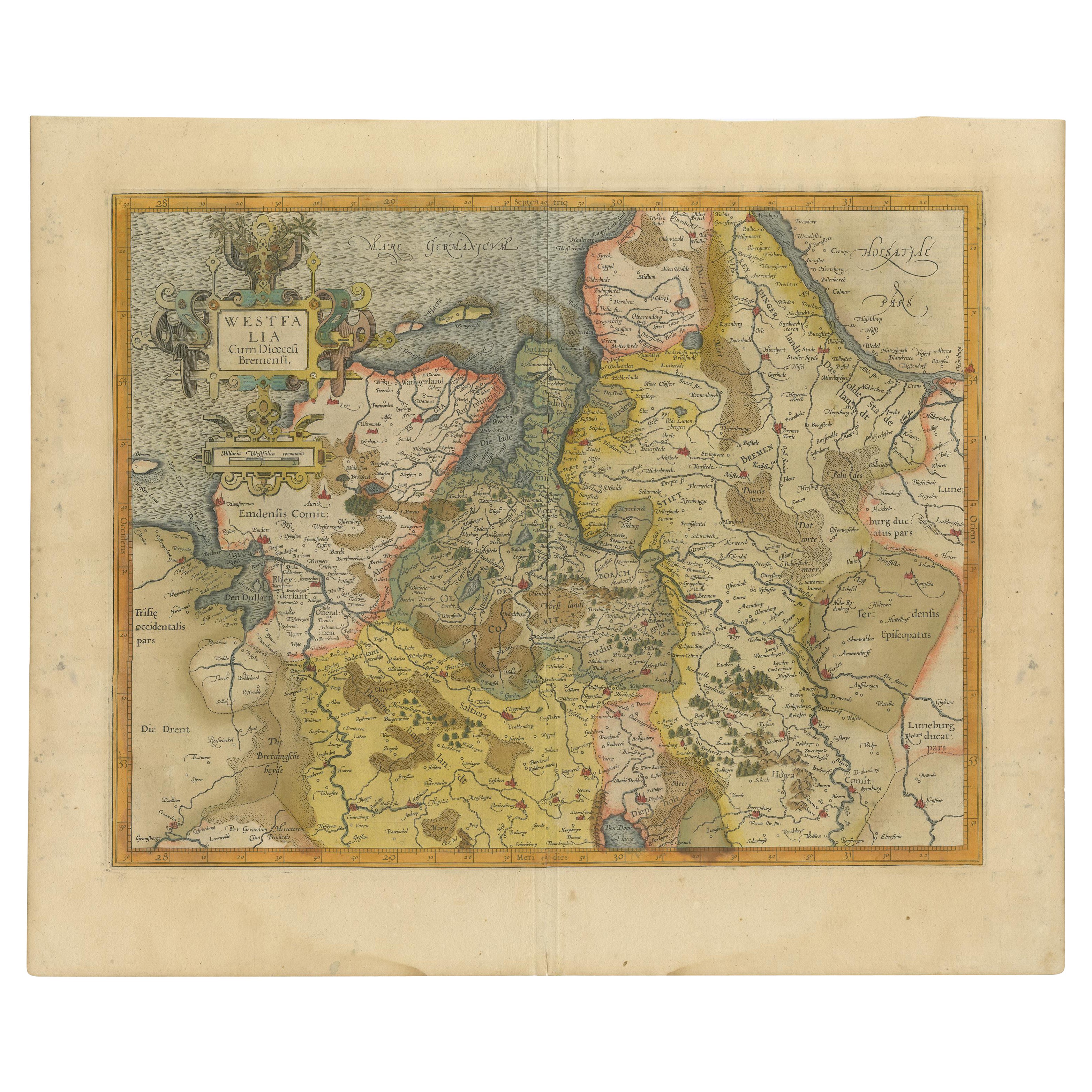
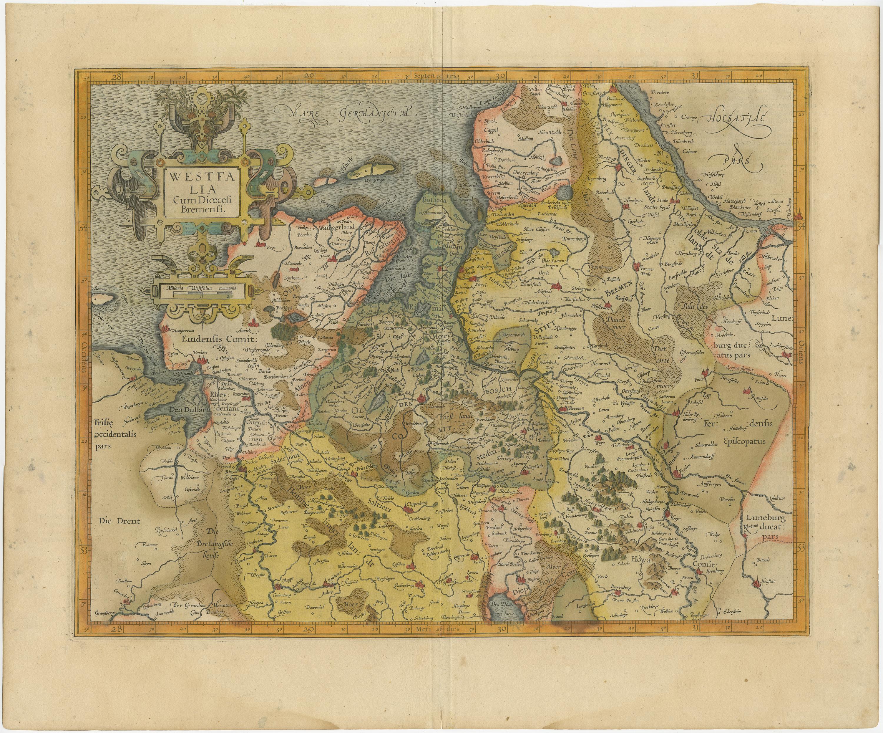
Antique map titled 'Westfalia cum dioecelsi Bremensi'. Original antique map of Germany. Published by Mercator/Hondius, circa '1620'
17th Century antique detailled map of Westphalia, East Friesland showing the Hanseatic towns Oldenburg, and Bremen. All in original color.
A nice strap work title cartouche with mileage scale near Oldenburg.
Latin text (Westfaliae Prima Tabvla) verso.
Origin: Mercator's Atlas.
Gerard Mercator Atlas sive Cosmographicae Meditationes de Fabrica Mundi et Fabricati Figura, was issued in numerous editions.
Jodocus Hondius (Latinized version of his Dutch name: Joost de Hondt) (14 October 1563 – 12 February 1612), sometimes called Jodocus Hondius the Elder to distinguish him from his son Jodocus Hondius II, was a Flemish / Dutch engraver, and cartographer. He is best known for his early maps of the New World and Europe, for re-establishing the reputation of the work of Gerard Mercator, and for his portraits of Francis Drake. He helped establish Amsterdam as the center of cartography in Europe in the 17th century.
Sheet app.: 52 x 43.5 cm. 20.5 x 17 inches.
Image app.: 45.5 x 35.5 cm. 18 x 14 inches.
Condition: Very good double page map, clean image in old hand coloring, vertical reinforcement over fold line on verso.