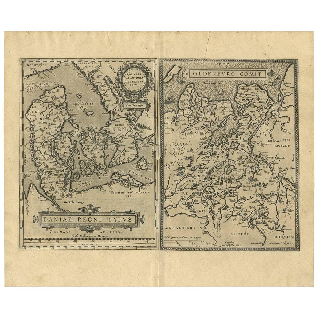
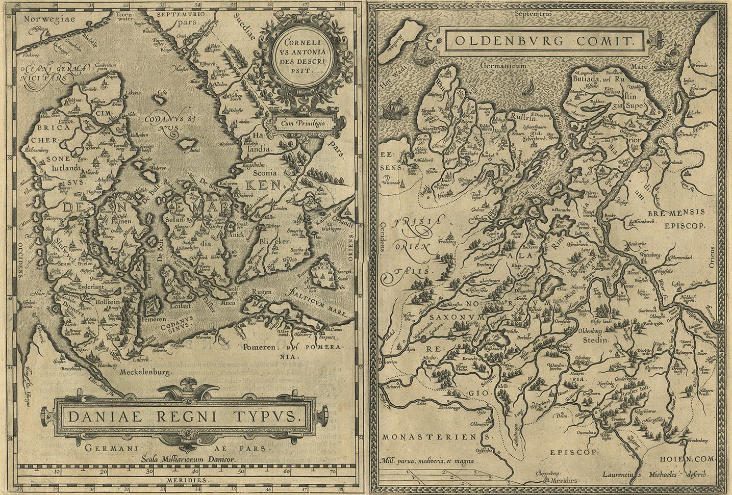
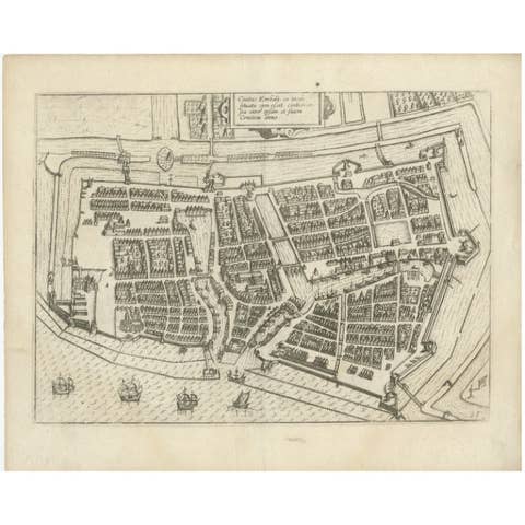
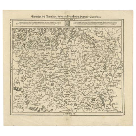
Daniae Regni & Oldenburg – Antique Maps of Denmark and Saxony by Ortelius, 1598
€ 821
One of a kind: this is the sheet in the photographs. Ships from Langweer, the Netherlands.
Date
1598
Sheet size
46 × 55.2 cm (18.1 × 21.7 in)
Condition
Good
Reference
BG-06778
Condition
Very good condition for age. Strong impression with excellent detail. Central fold as issued, with faint creasing and minor age-toning to the paper edges. No major flaws or repairs. Latin text on verso.
About this sheet
Daniae Regni & Oldenburg – Antique Maps of Denmark and Saxony by Ortelius, 1584
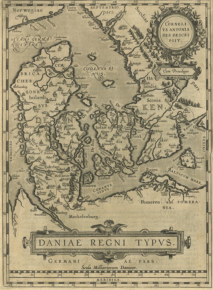
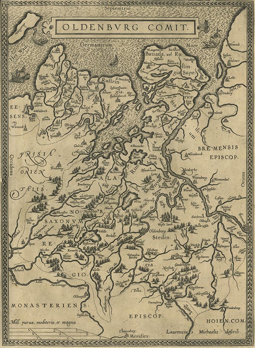
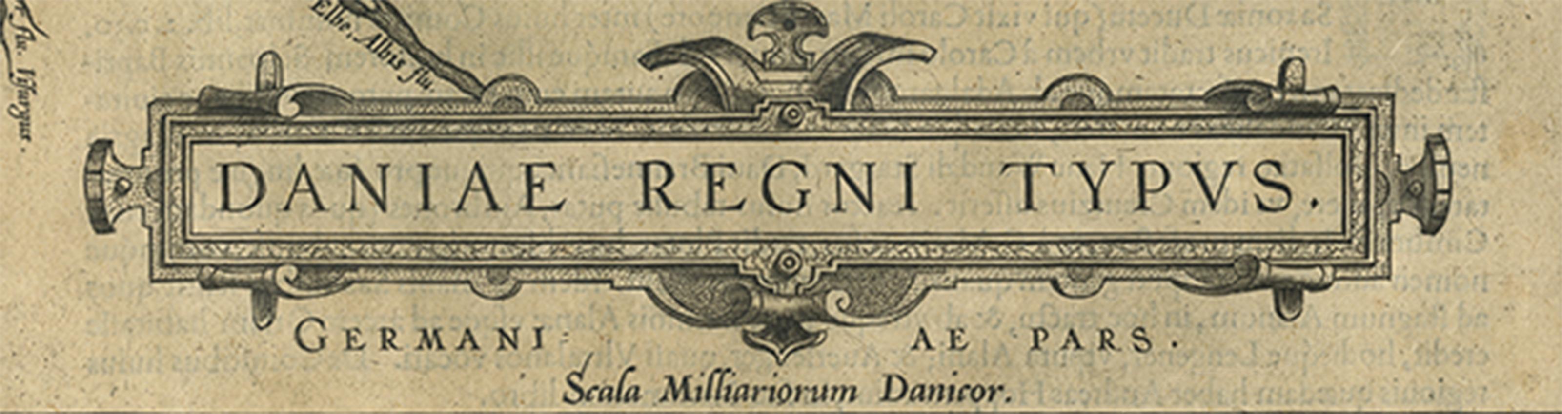
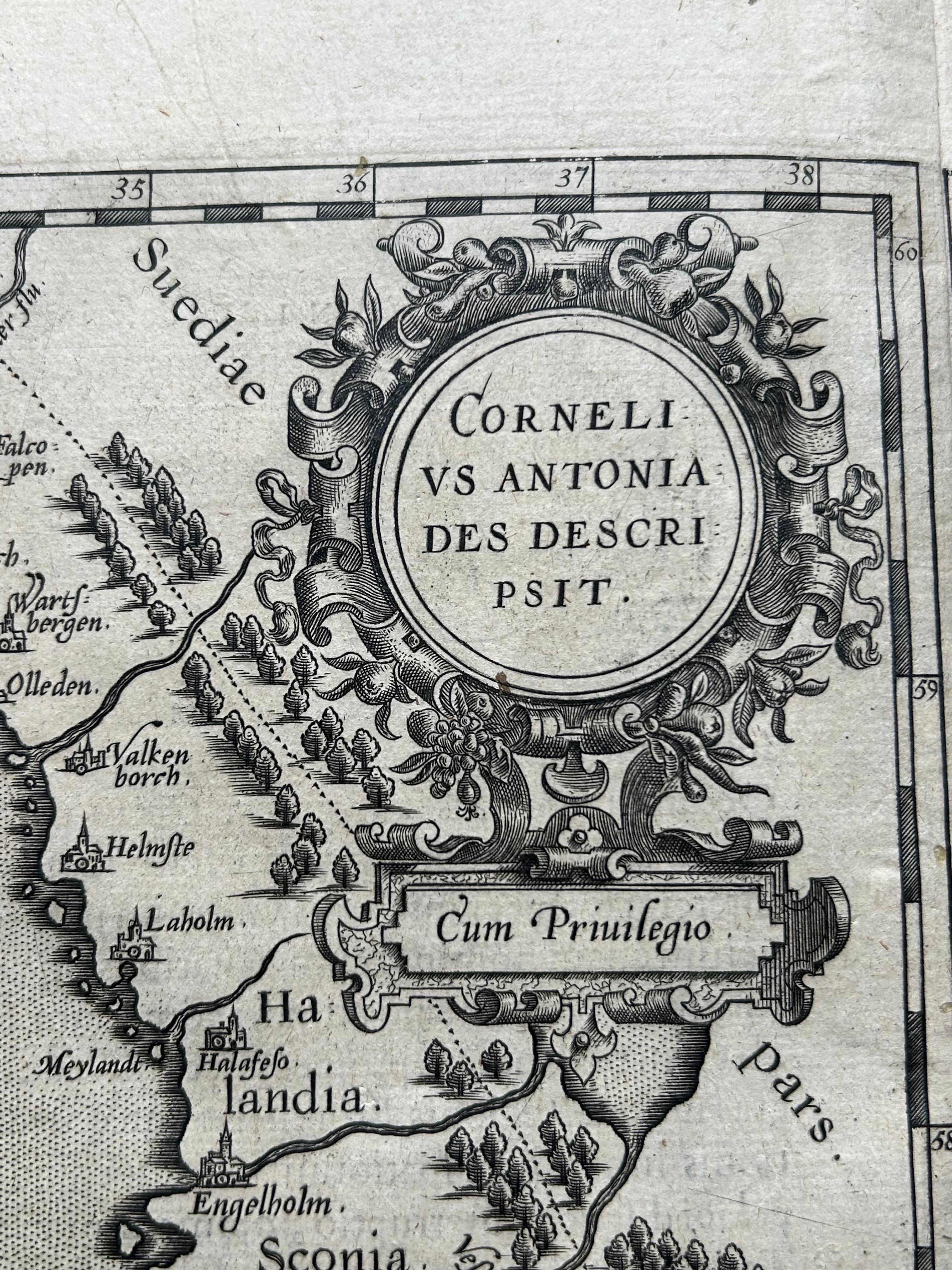
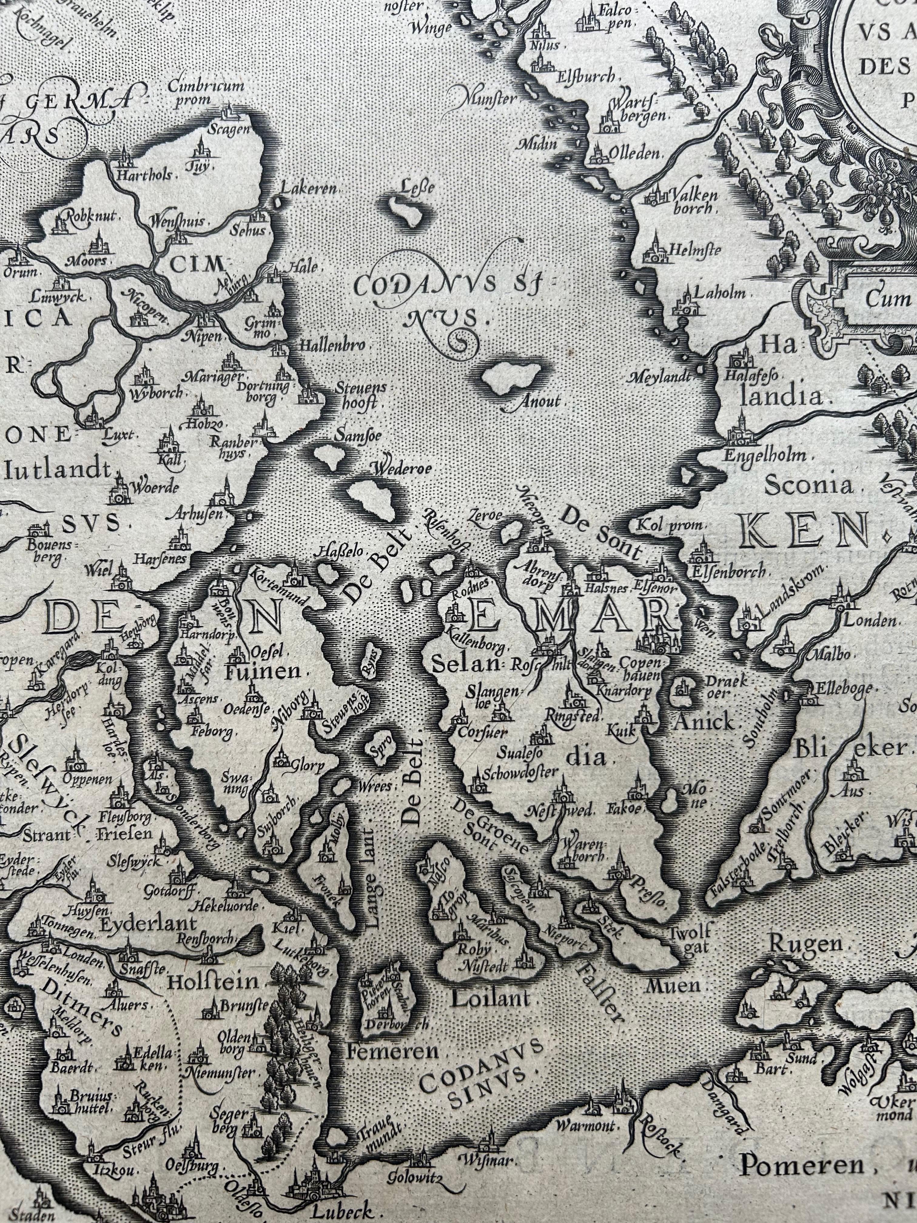
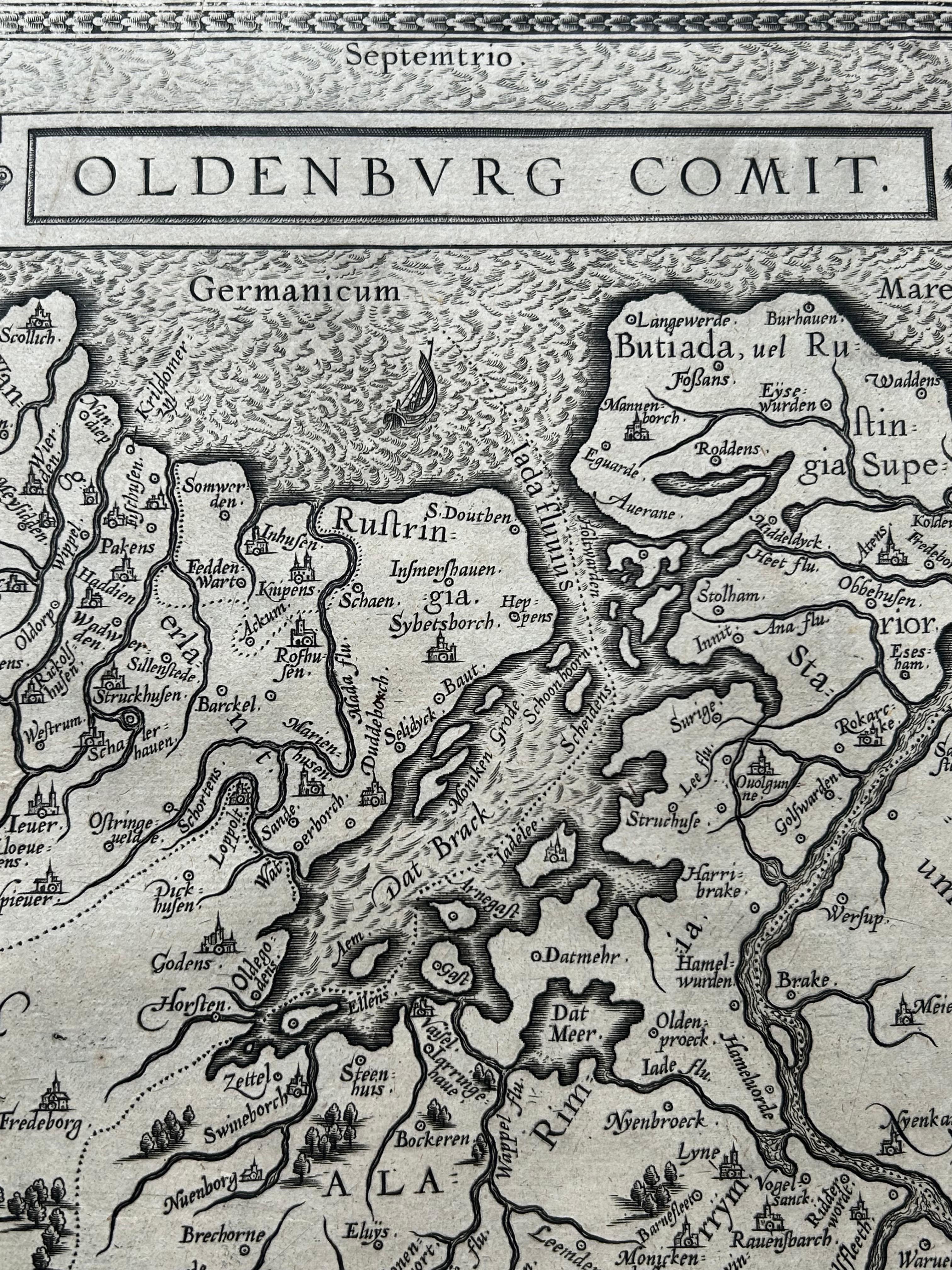
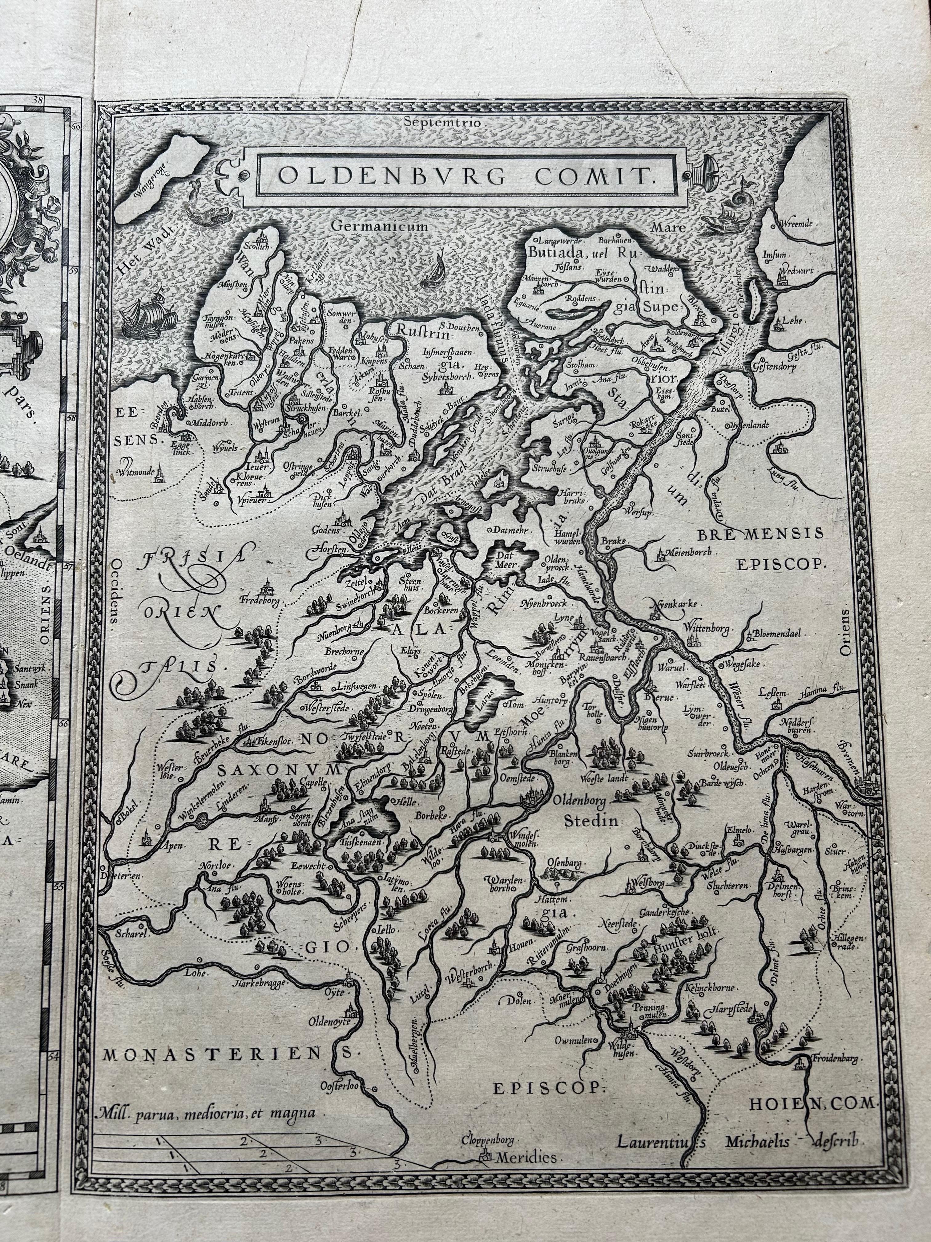
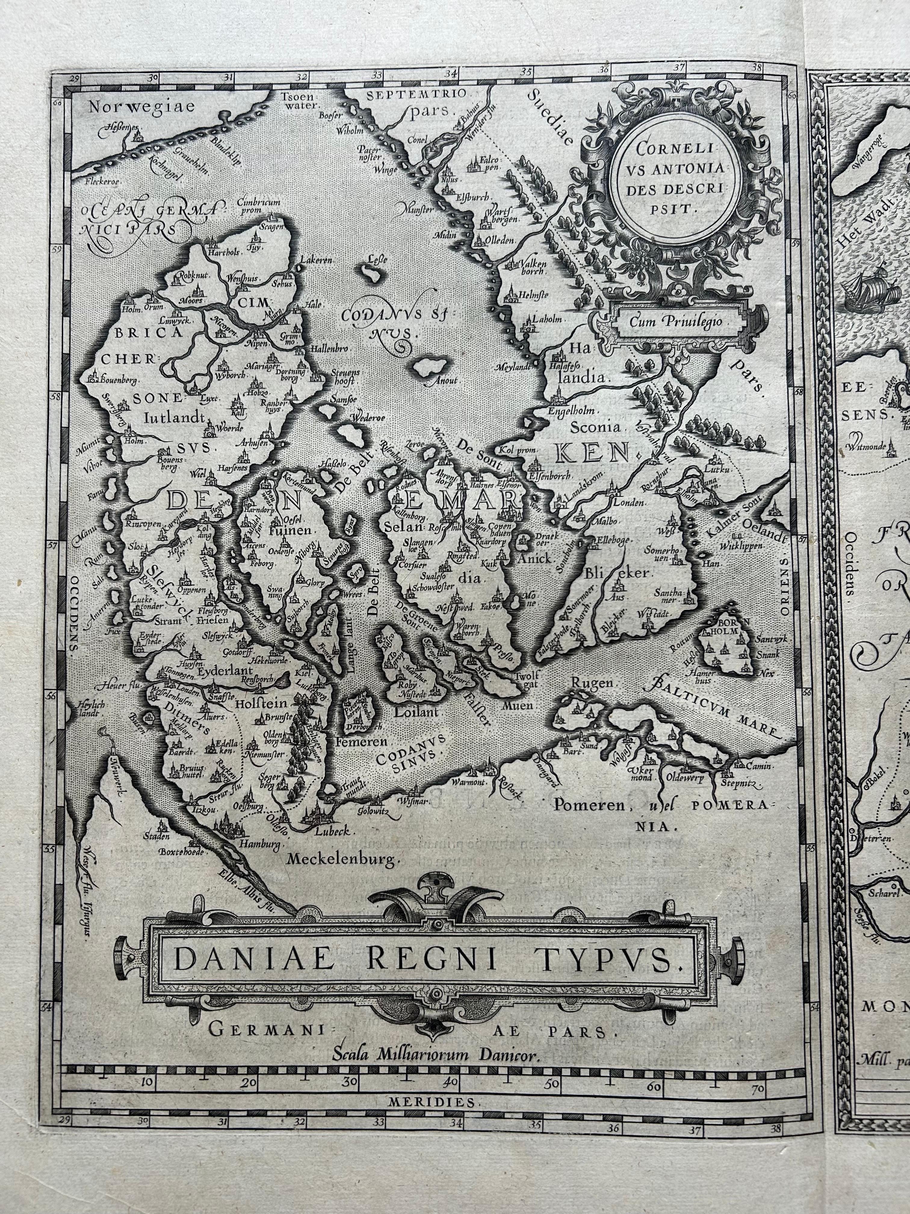
This elegant antique map sheet features two detailed regional maps side by side: Daniae Regni Typus (Kingdom of Denmark) and Oldenburg Comitatus (County of Oldenburg). Both maps were published in the 1584 edition of Abraham Ortelius’s celebrated Theatrum Orbis Terrarum, considered the first modern atlas. These early cartographic renderings provide valuable insight into 16th-century geographic knowledge and aesthetic sensibilities.
The map on the left presents Denmark, based on the pioneering cartographic work of Cornelis Anthoniszoon. The map includes a wealth of place names and cities throughout the Danish peninsula and surrounding islands. Although the map lacks extensive topographical detail, the inclusion of stippled seas and ornate compass roses enhances its visual richness. This map helped shape the European understanding of Scandinavia in the late Renaissance.
The right-hand map, Oldenburg Comitatus, focuses on a portion of Lower Saxony and was drawn from the work of Laurens Michaelis. It offers excellent detail of the river systems around Oldenburg and the surrounding areas of northwest Germany. Engraved sailing ships and sea monsters decorate the waters, reflecting Ortelius’s decorative style and the era’s fascination with maritime exploration and unknown seas.
Ortelius, a Flemish cartographer and geographer, revolutionized cartography with his Theatrum Orbis Terrarum (first published in 1570), which compiled maps from the leading cartographers of the time into one comprehensive work. This edition, with Latin text on the verso, was aimed at a learned European audience.
Condition report: Very good condition for age. Strong impression with excellent detail. Central fold as issued, with faint creasing and minor age-toning to the paper edges. No major flaws or repairs. Latin text on verso.
Framing tips: A double map of this type is best presented in a large, dark wood frame with generous ivory or sand-toned matting. Consider UV-protective glass to preserve the fine linework and prevent paper browning.