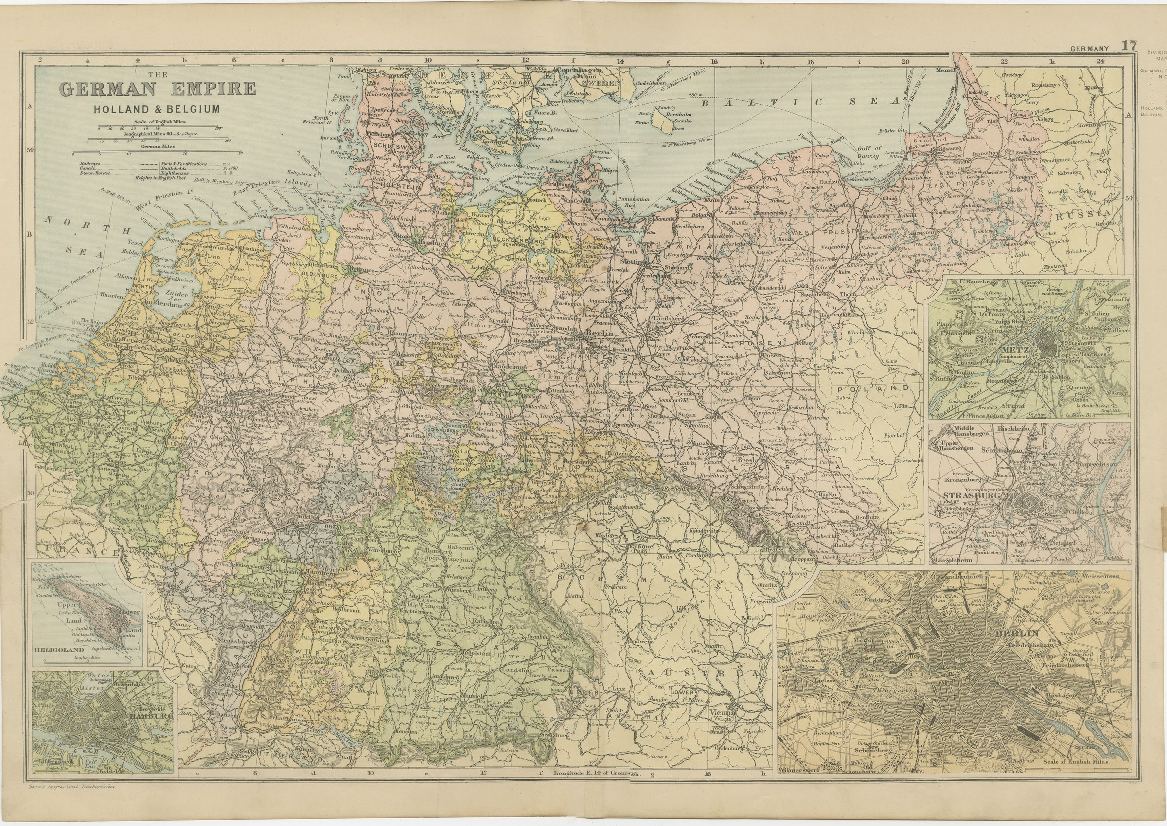
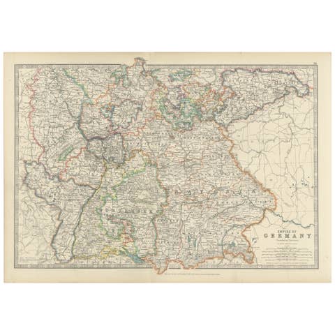
Antique Map of the German Empire, Holland and Belgium, with Berlin, 1898
€ 265
Original antique · The actual sheet photographed · Certificate of authenticity on request · Sold unframed · Worldwide shipping from € 15 (rates)
Date
1898
Mapmaker / artist
George Washington Bacon
Publisher
G. W. Bacon and Company, Limited, 127 Strand, London
Technique
Lithograph
Coloring
Printed color
Sheet size
34 × 54 cm (13.4 × 21.3 in)
Condition
Good
Reference
BG-06675-17
What the condition grades mean
Excellent
Bright and clean, with no faults worth mentioning.
Very good
Only light signs of age, such as faint toning.
Good
Normal signs of age for a sheet of this period: toning, some foxing, small marks or neat old repairs.
Fair
Clear faults such as staining, tears or repairs, priced to match.
Every fault we see is written in the condition note, and the whole sheet is shown uncropped in the photos.
Condition
Even age toning, the paper a warm cream, with a few handling marks in the margins and light handling wear at the top left and top right corners. The printed image itself is clean.
About this sheet
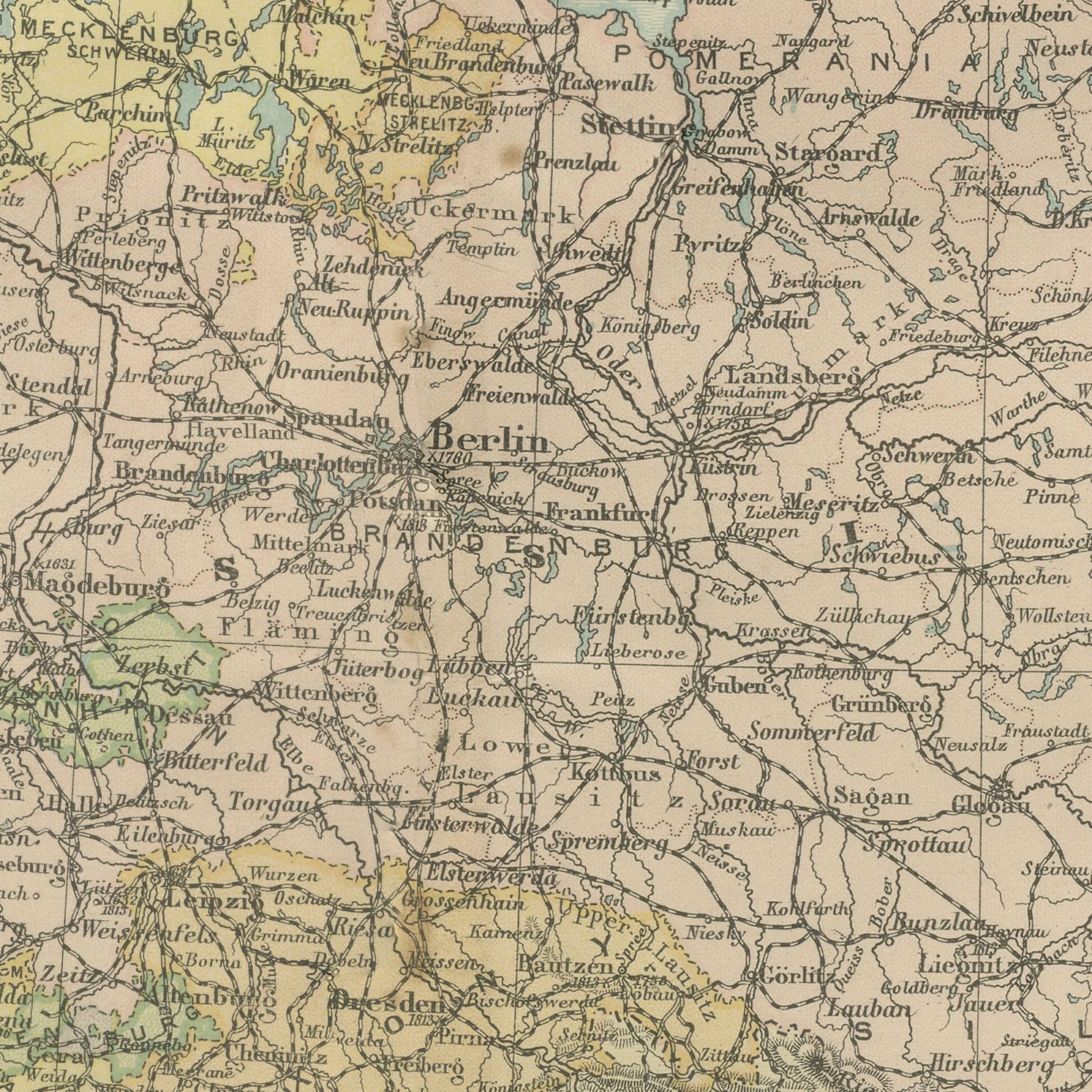
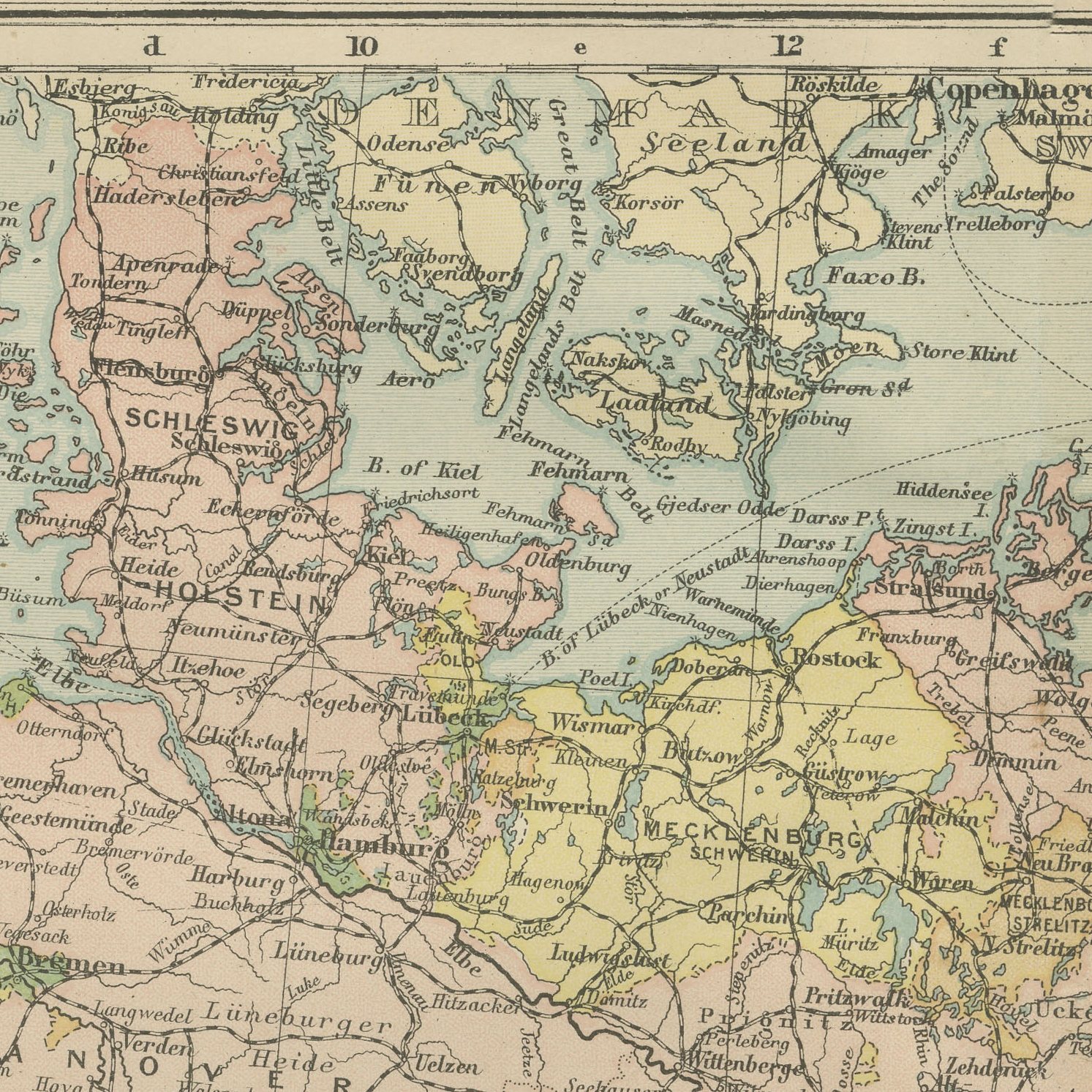
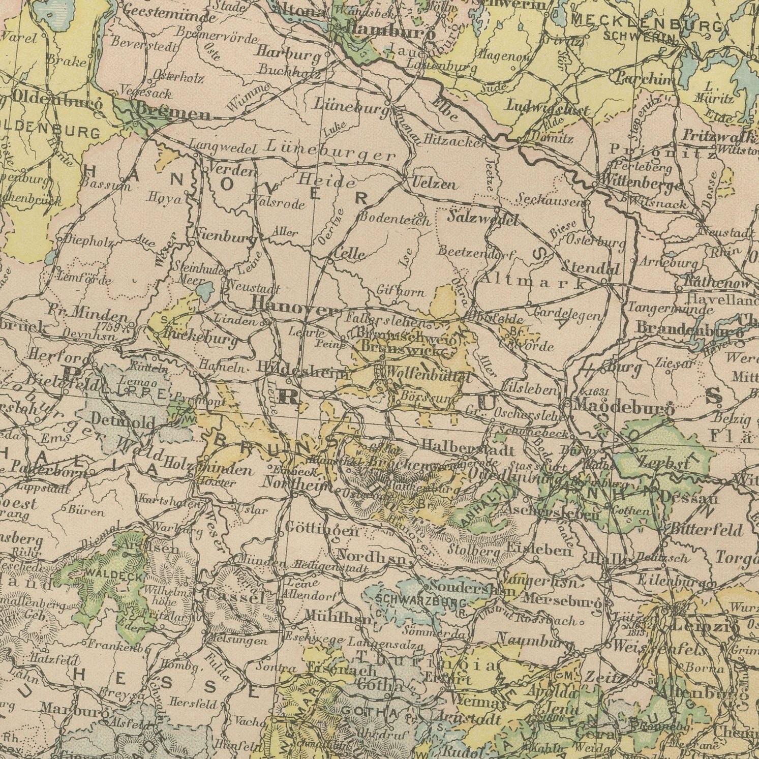
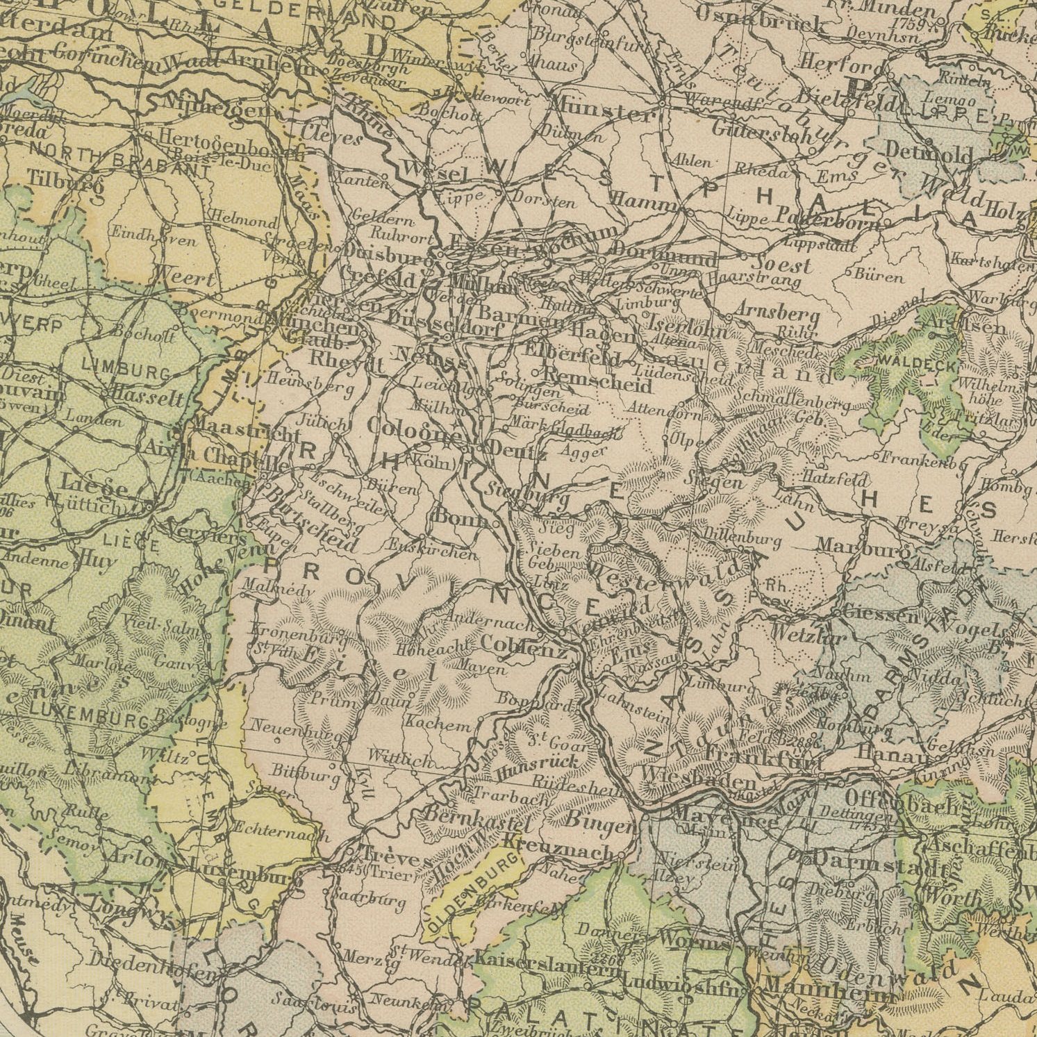
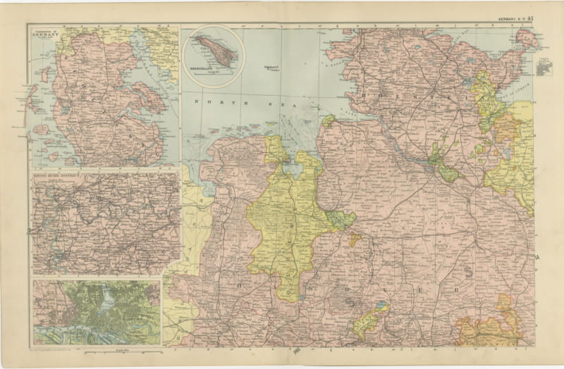
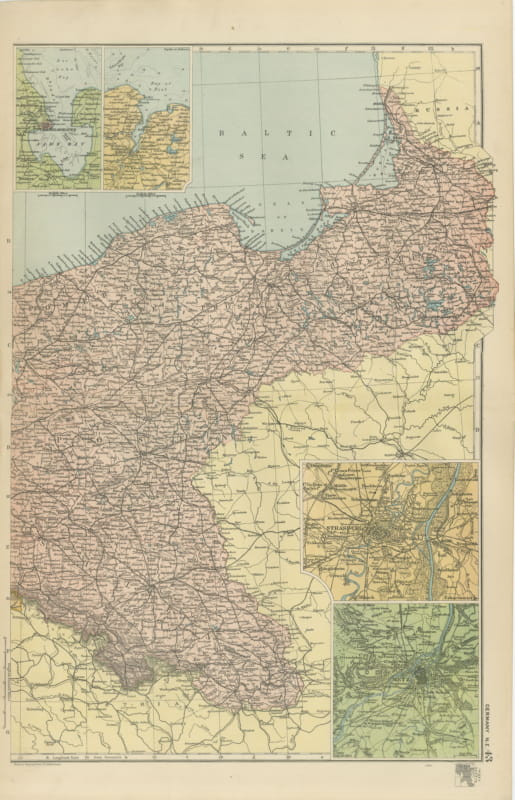
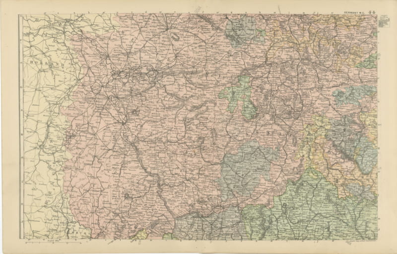
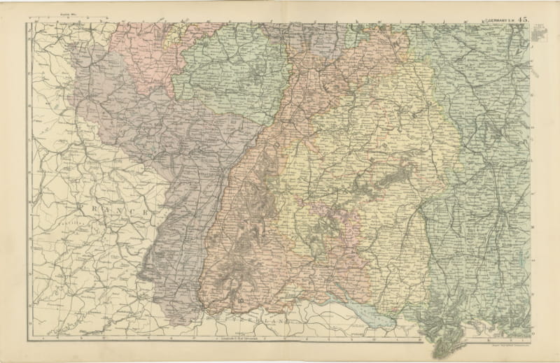
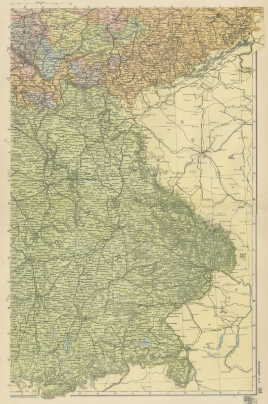
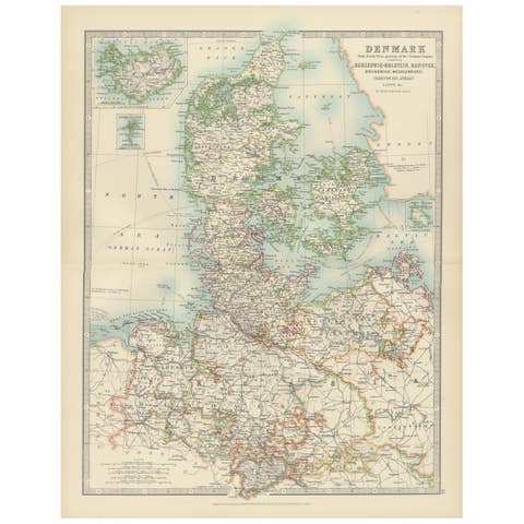
An original antique map of the German Empire with Holland and Belgium, color printed in 1898 for Bacon's Commercial and Library Atlas of the World. The map covers the empire from the North Sea to Silesia and from Schleswig to Bavaria, each kingdom, grand duchy and Prussian province in a separate color, with the railway network drawn in full. Five insets carry plans of Berlin and Hamburg, the fortress towns of Metz and Strasburg in annexed Alsace-Lorraine, and the North Sea island of Heligoland.
The plate belongs to the 1898 edition of Bacon's Commercial and Library Atlas of the World with Index-Gazetteer, edited by G. W. Bacon of 127 Strand, London. Printed and colored at Bacon's Geographical Establishment, the atlas set out one hundred double page maps and one hundred inset maps, and its purpose was practical: it recorded the political world as the Victorians left it, a year after the Diamond Jubilee and a year before the South African War.
The sheet shows the empire at its confident height, twenty seven years after unification and a decade into the naval building that would set it against Britain. Heligoland had been handed to Germany only eight years before and is drawn here with its new owner, which is a detail worth noticing. The map is a good general sheet for anyone with German, Dutch or Belgian family, because it names small towns as well as cities and shows the borders as they stood before two wars moved them.
Even age toning, the paper a warm cream, with a few handling marks in the margins and light handling wear at the top left and top right corners. The printed image itself is clean.
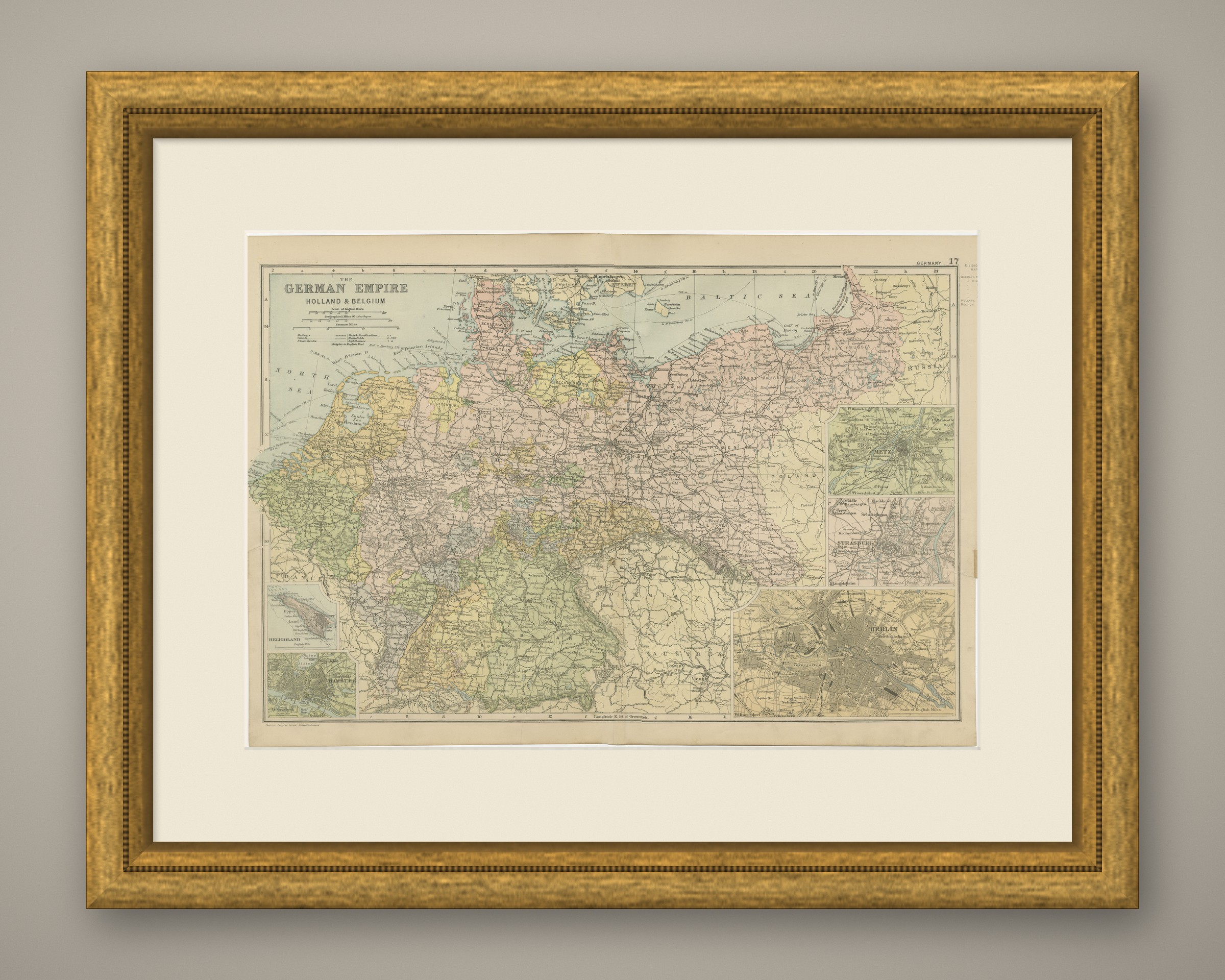
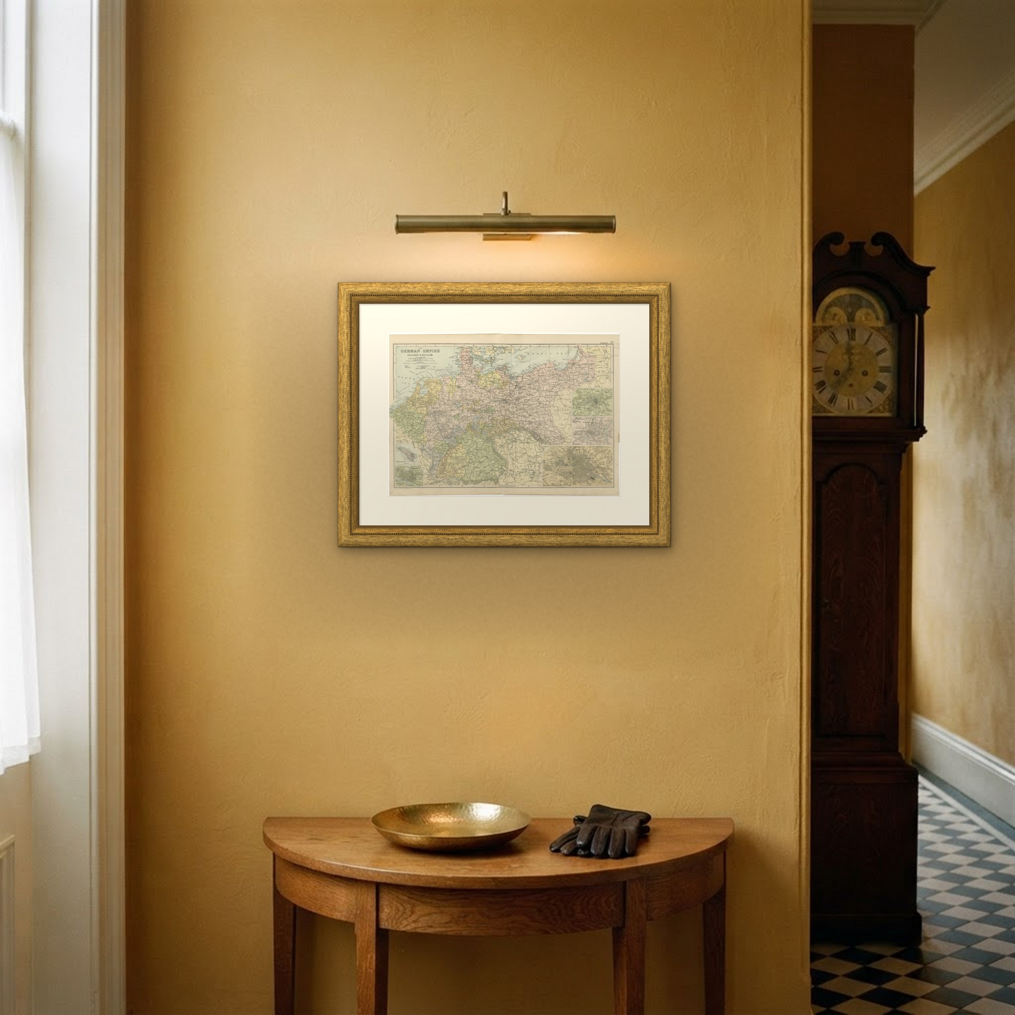
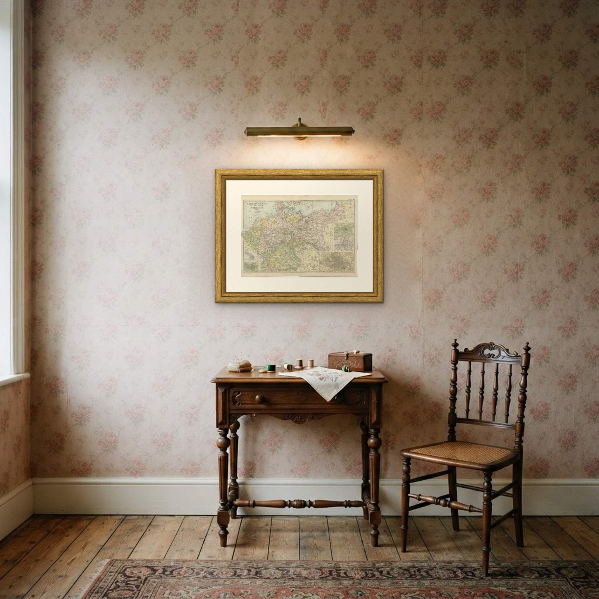
Framed simply, a sheet of this size holds a wall on its own, and the clear color printing reads well across a room. It suits a study, a library, an office or a hallway, and it is an easy gift for anyone with a connection to the place it shows. This is an original antique map, not a modern reproduction. This item is sold unframed. Any framed or interior images are shown for presentation and inspiration only, unless the listing explicitly states that the item is sold framed.