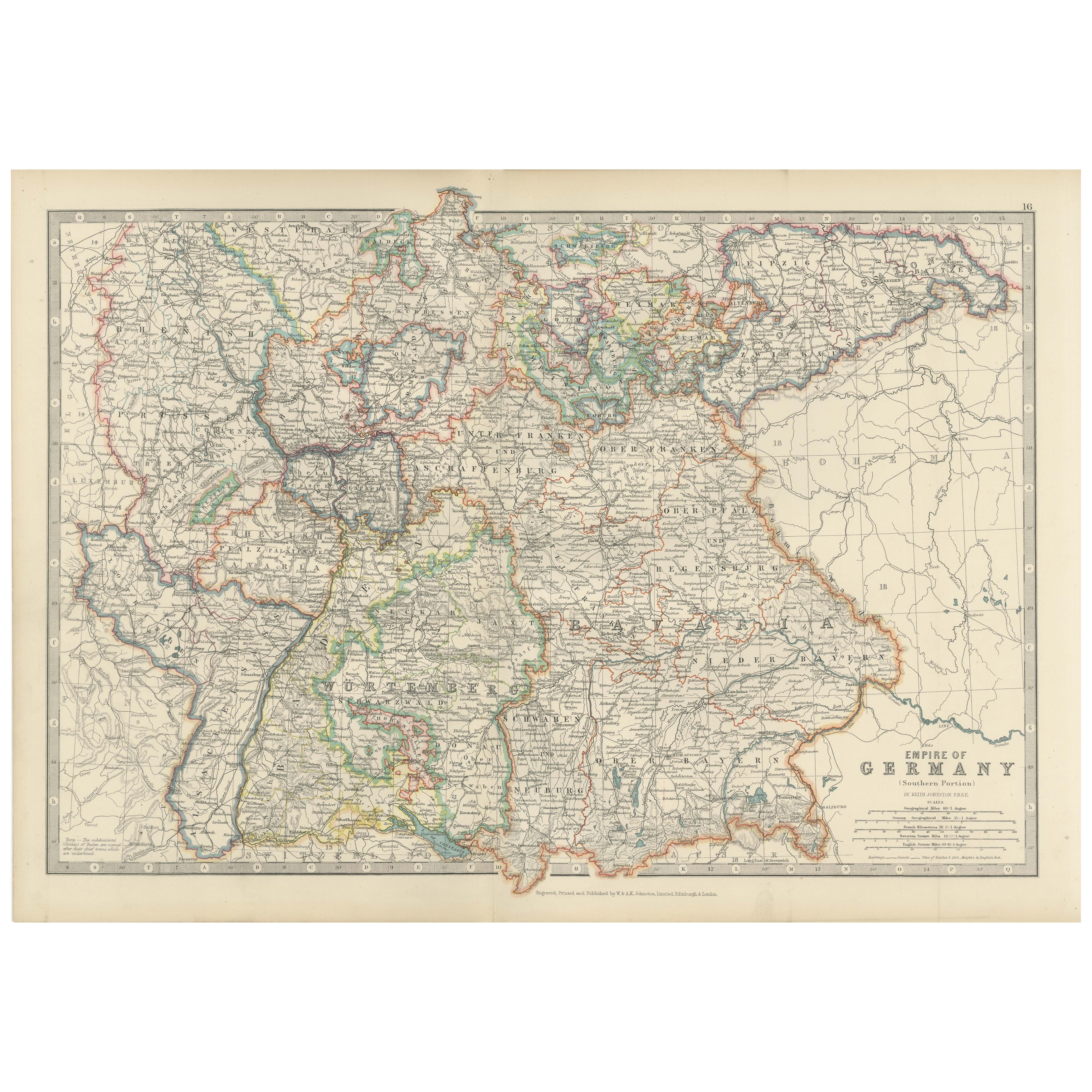
Antique Map of the German Empire, 1903, with Intricate Provincial Boundaries
€ 270
Original antique · The actual sheet photographed · Certificate of authenticity on request · Sold unframed · Worldwide shipping from € 15 (rates)
Date
1903
Sheet size
36.8 × 52.3 cm (14.5 × 20.6 in)
Condition
Good
Reference
BG-13577-16
What the condition grades mean
Excellent
Bright and clean, with no faults worth mentioning.
Very good
Only light signs of age, such as faint toning.
Good
Normal signs of age for a sheet of this period: toning, some foxing, small marks or neat old repairs.
Fair
Clear faults such as staining, tears or repairs, priced to match.
Every fault we see is written in the condition note, and the whole sheet is shown uncropped in the photos.
Condition
This map is in very good antique condition, showing only slight toning and minor foxing typical for its age. The colors remain vibrant and the paper stable and clear. Two folding lines as issued.
About this sheet
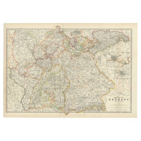
This antique map, titled "Empire of Germany (Southern Portion)," was engraved and published in 1903 by the esteemed cartographic firm W. & A.K. Johnston in Edinburgh and London. It offers a richly detailed and color-coded portrayal of the German Empire in the early 20th century, capturing the historical geography and political structure of the time.
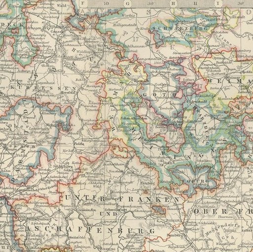
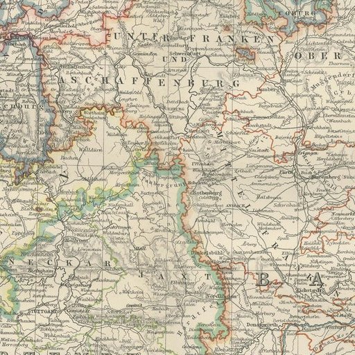
Delicately hand-colored in pastel shades, this map elegantly delineates the provincial and kingdom boundaries, including well-known regions such as Bavaria, Württemberg, Saxony, and Prussia. Major cities, towns, rivers, and an extensive railway network are meticulously engraved, reflecting Germany’s burgeoning industrial and political power during this period.
The map’s fine linework and clear typography highlight the precision and artistry typical of Johnston’s cartography. It provides a comprehensive view of southern Germany’s intricate landscape, from the Rhine and Danube rivers to the picturesque mountain ranges and dense forested areas that define the region.
For collectors and history enthusiasts, this map is a valuable piece that captures the cultural and political complexity of a region on the cusp of profound change. It offers a window into the world of Imperial Germany, just before the seismic shifts of the 20th century would alter the map of Europe forever.
Condition report: The map is in very good antique condition, with slight toning and minimal foxing along the edges consistent with its age. The color remains vibrant and the paper stable.
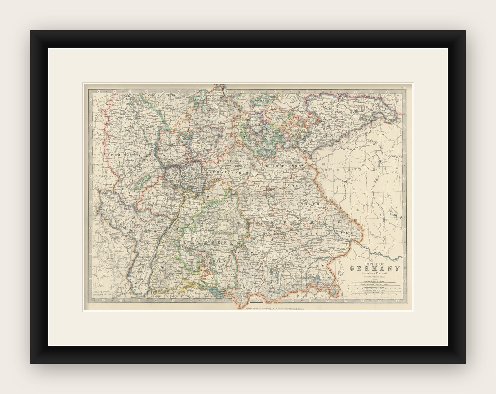
Framing tips: A dark wood frame in walnut or oak will complement the warm pastel hues and historical character of the map. Use a cream or light tan matting to accentuate the intricate engraving, creating a sophisticated focal point for any home, library, or study.