
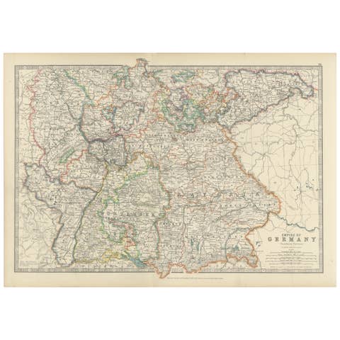
Antique Map of Denmark and German Empire Regions, 1903, Intricate and Colorful
€ 180
One of a kind: this is the sheet in the photographs. Ships from Langweer, the Netherlands.
Date
1903
Sheet size
47.2 × 36.8 cm (18.6 × 14.5 in)
Condition
Good
Reference
BG-13577-15
Condition
This map is in very good antique condition, showing only slight toning and minor foxing typical for its age. The colors remain vibrant and the paper stable and clear. Folding line as issued.
About this sheet
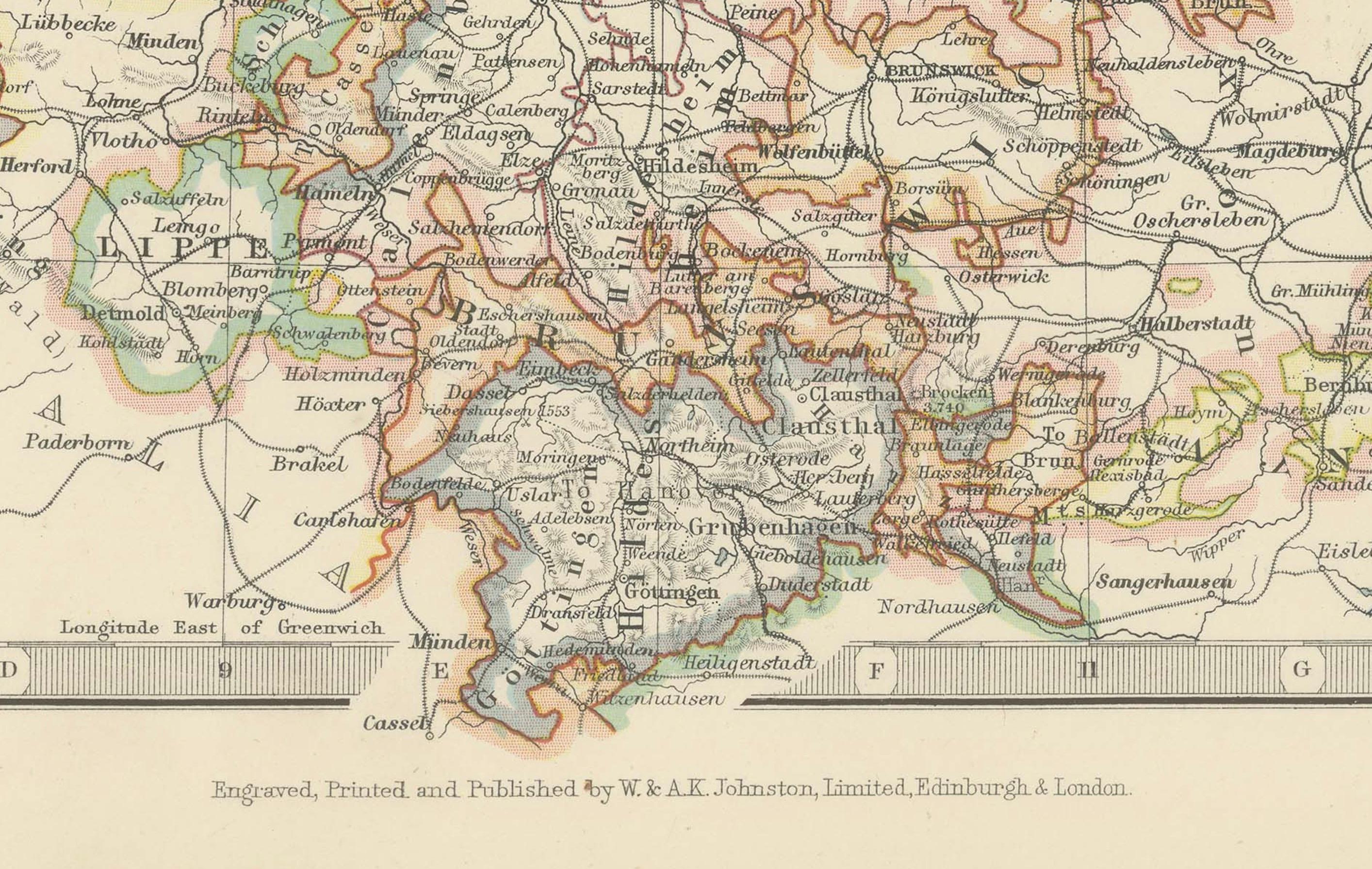
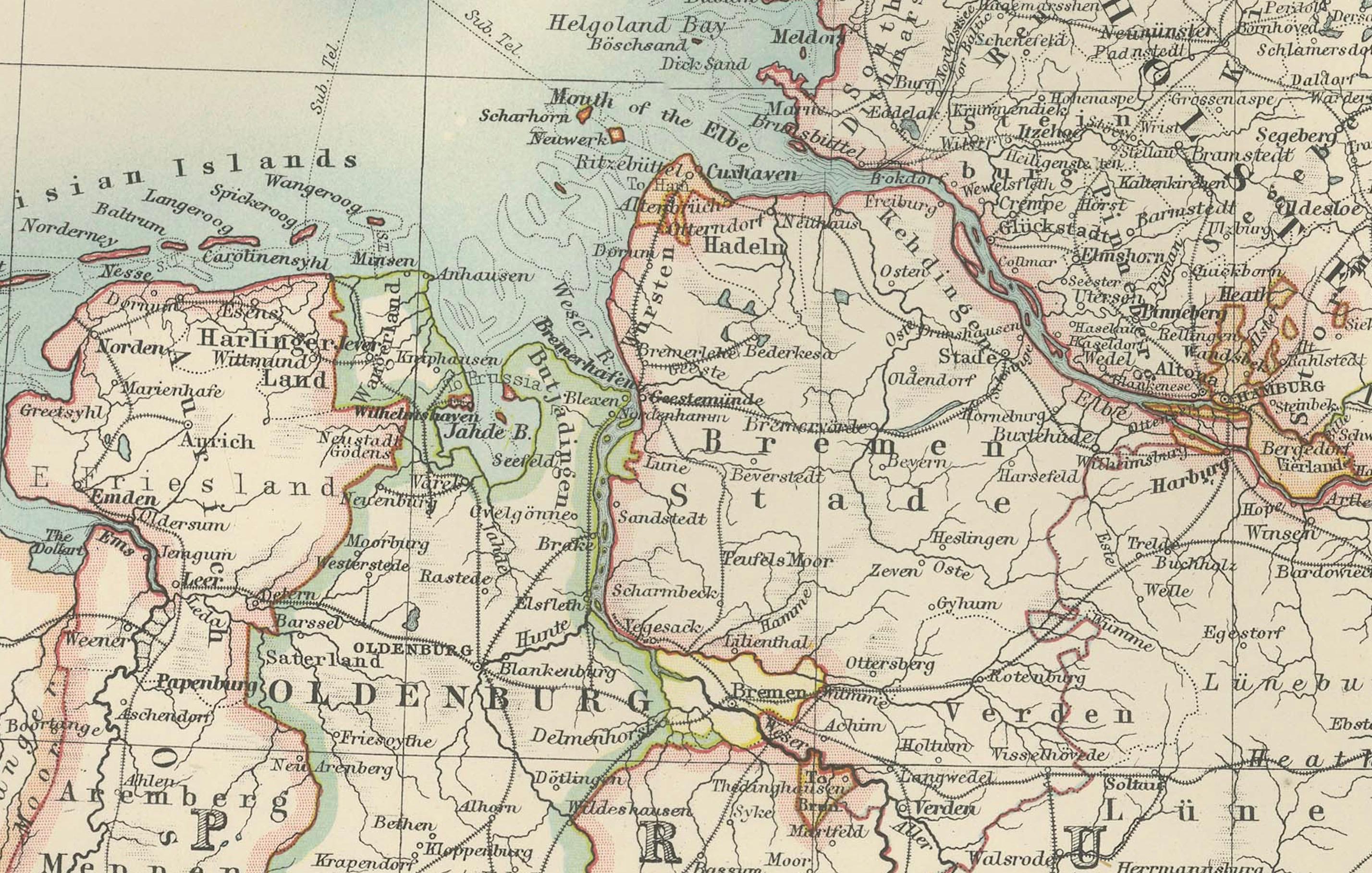
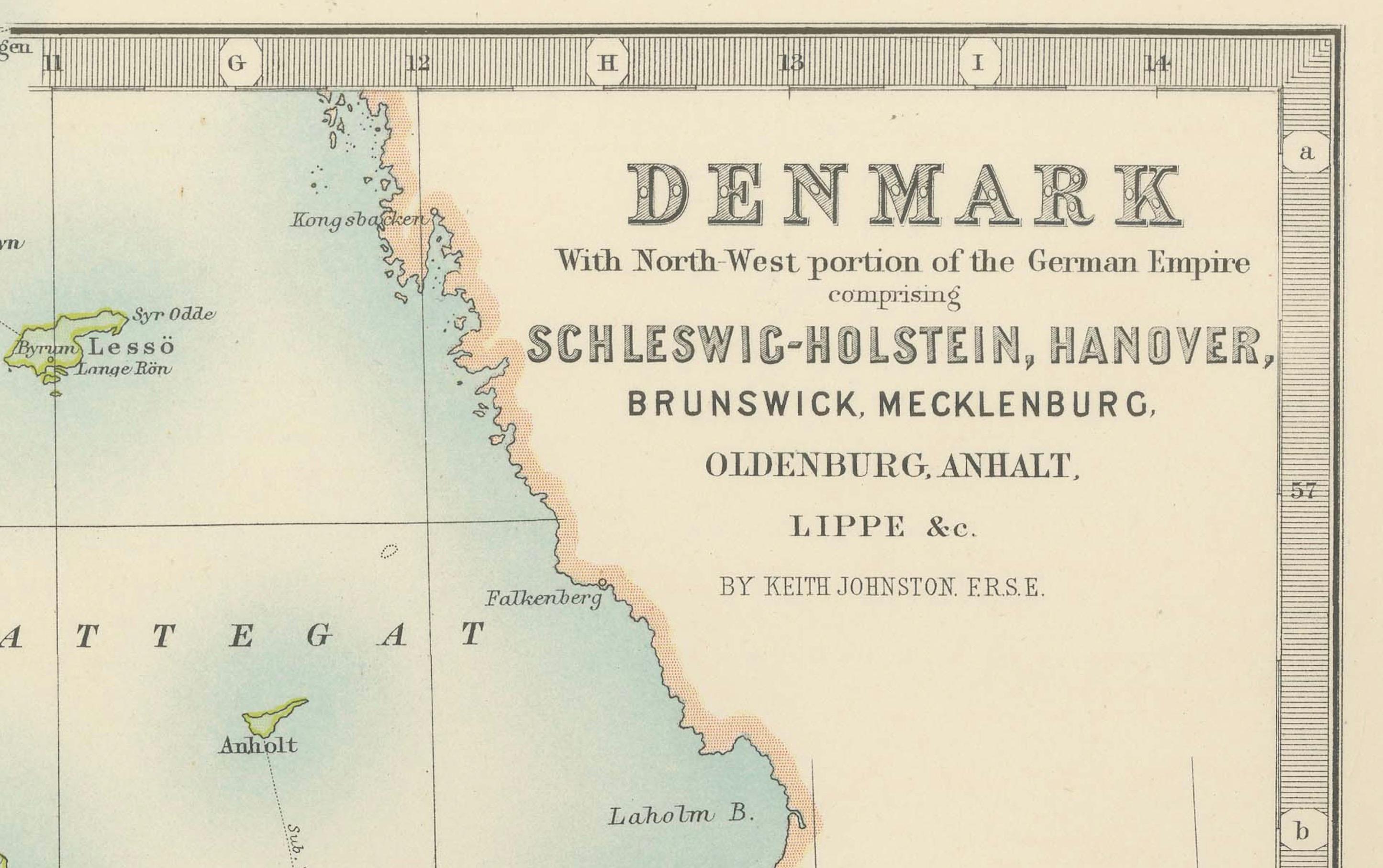
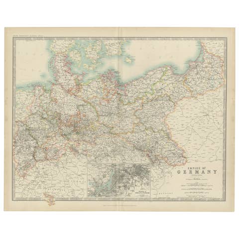
This antique map, titled "Denmark with North West Portions of the German Empire," was engraved and published in 1903 by the distinguished cartographers W. & A.K. Johnston in Edinburgh and London. It presents a beautifully detailed view of Denmark, along with northern Germany including Schleswig-Holstein, Hanover, Brunswick, Mecklenburg, Oldenburg, Anhalt, and Lippe, offering a fascinating snapshot of this region at the turn of the 20th century.
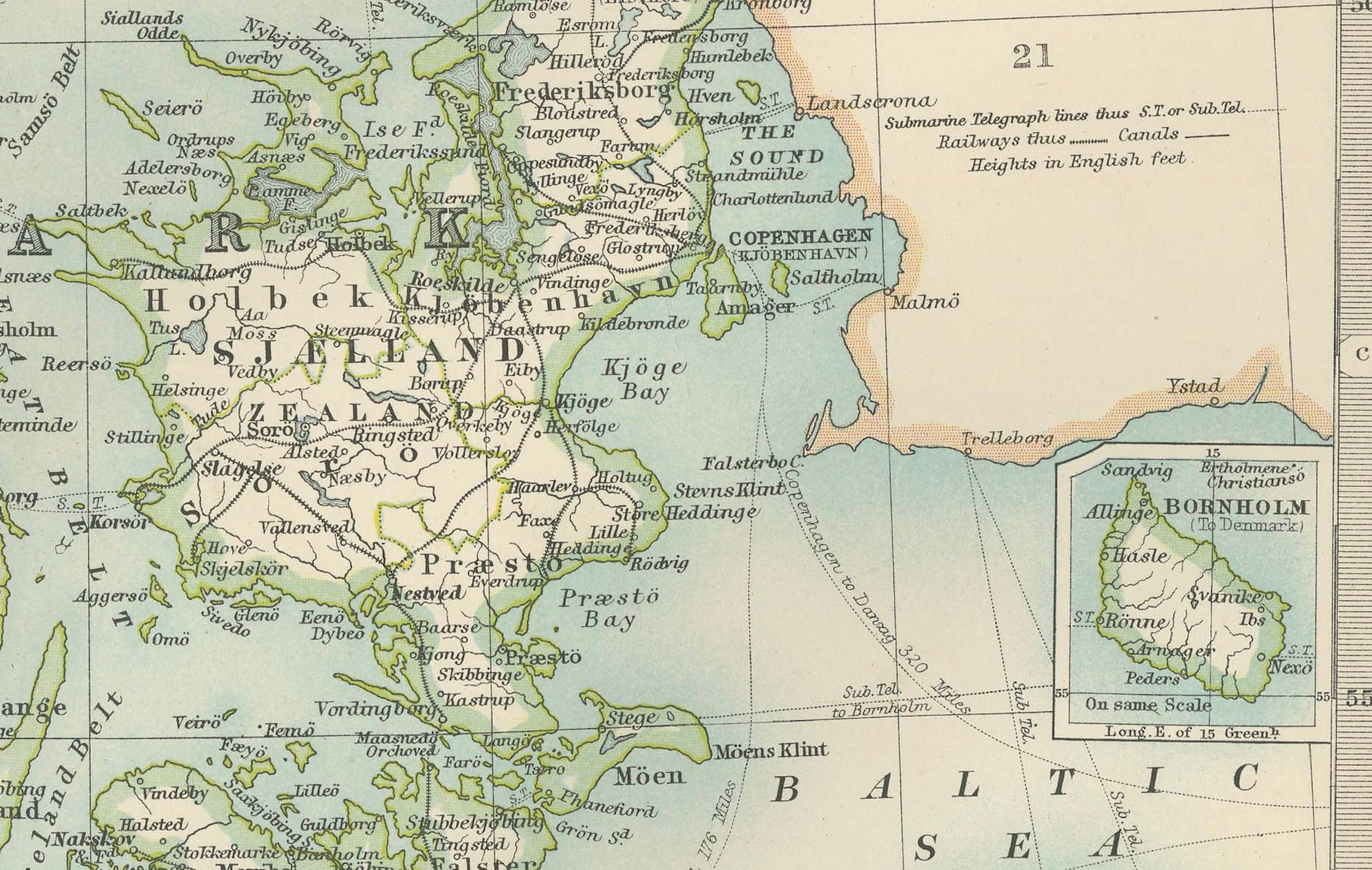
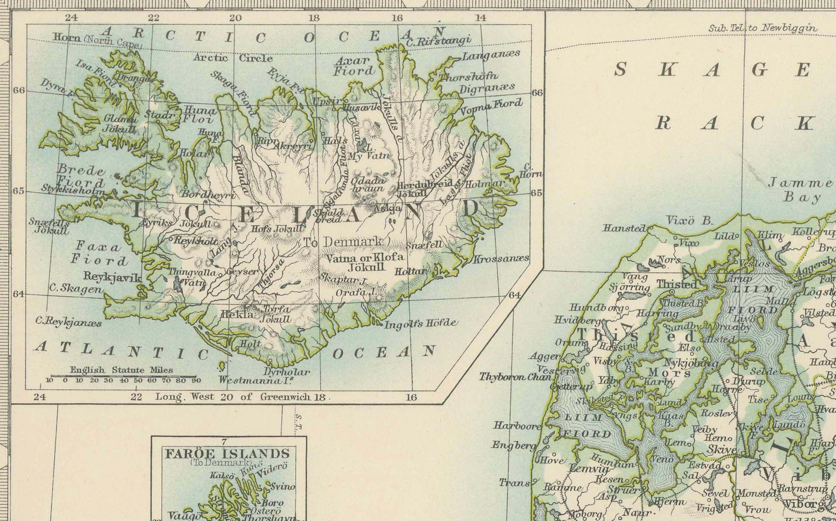
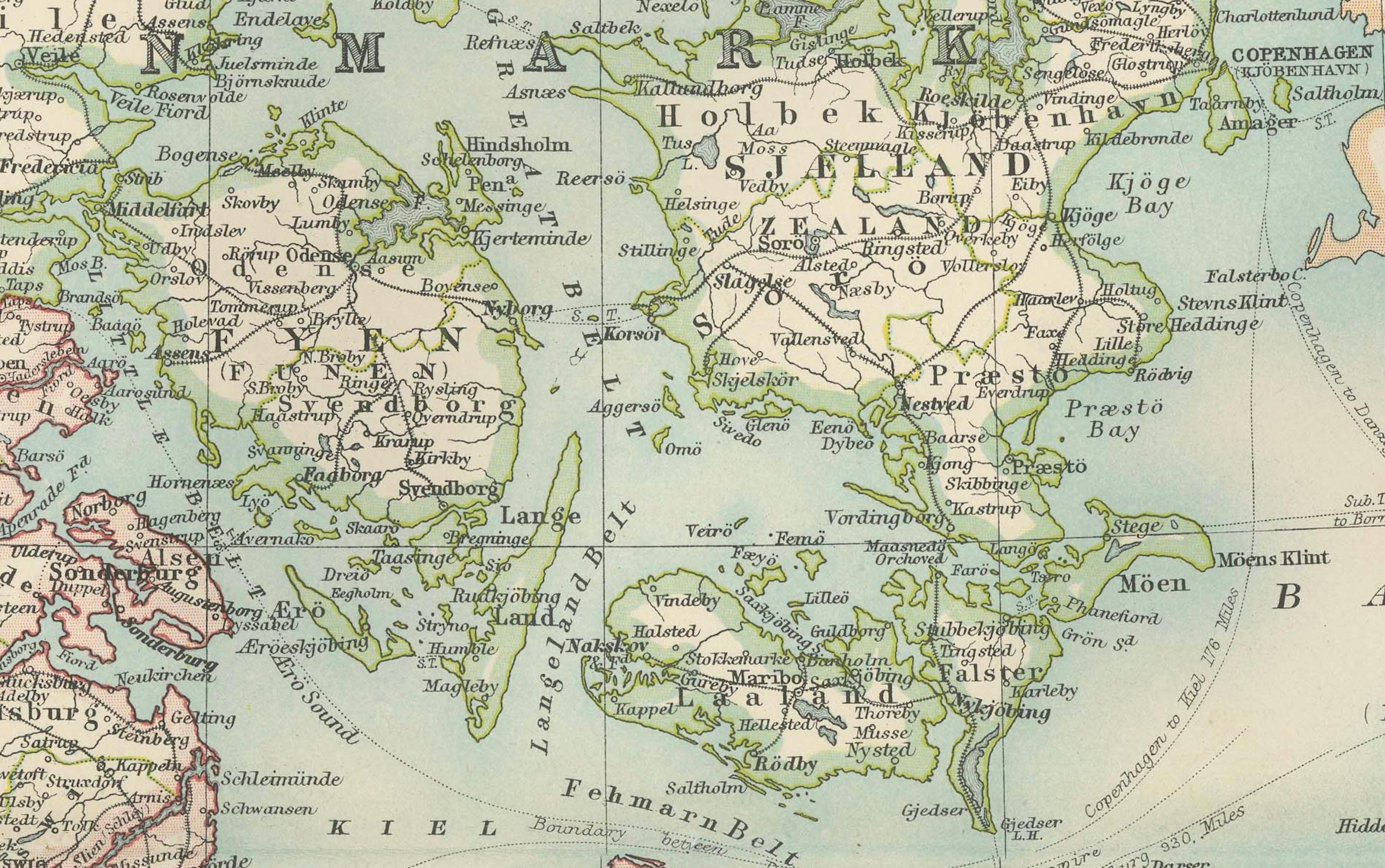
The map is elegantly hand-colored in soft pastel shades to demarcate regional and national boundaries, creating a visually harmonious and informative composition. Denmark’s iconic peninsulas, islands, and fjords are clearly depicted, as are the railway lines, rivers, and major cities that defined the region’s economic and social landscape during this era. Inset maps of the Faroe Islands and Iceland add an extra dimension to this comprehensive portrayal.
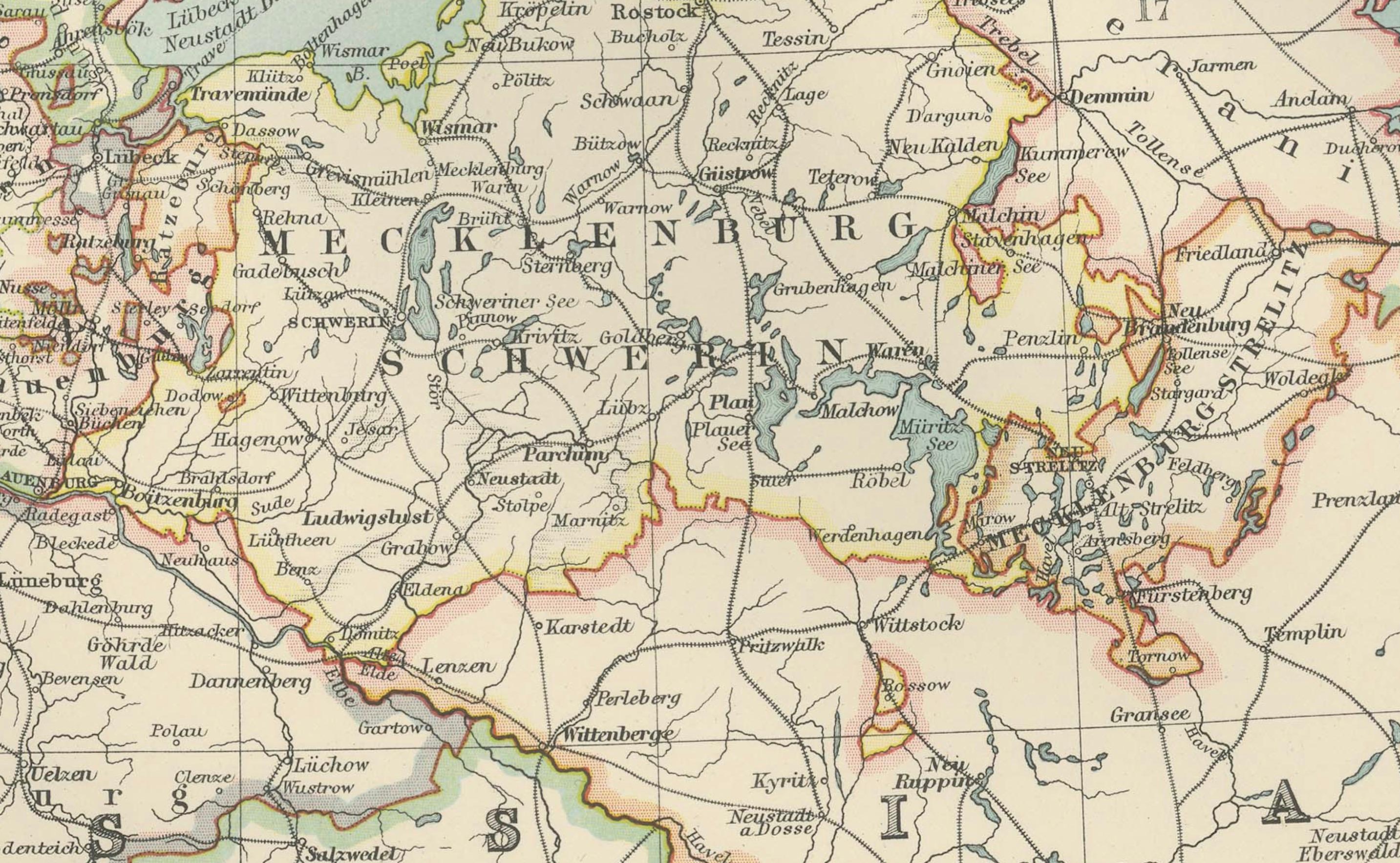
Particularly striking is the clear delineation of the shifting political boundaries in northern Germany—a region undergoing significant transitions at the time. The map’s intricate linework and precise typography demonstrate the exceptional quality of Johnston’s craftsmanship and the depth of information included.
For collectors and lovers of history, this map is more than a decorative artifact. It represents a moment in time when Europe’s political and geographic landscape was dynamic and interconnected, capturing the essence of a region known for its maritime culture, trade networks, and complex relationships between neighboring states.
Condition report: This map is in very good antique condition, showing only slight toning and minor foxing typical for its age. The colors remain vibrant and the paper stable and clear.
Framing tips: A classic wooden frame in walnut or oak will enhance the map’s warm pastel tones and historical charm. Pair it with a cream or light tan matting to highlight the delicate engraving and create a refined, elegant focal point in any home or office.