About this sheet
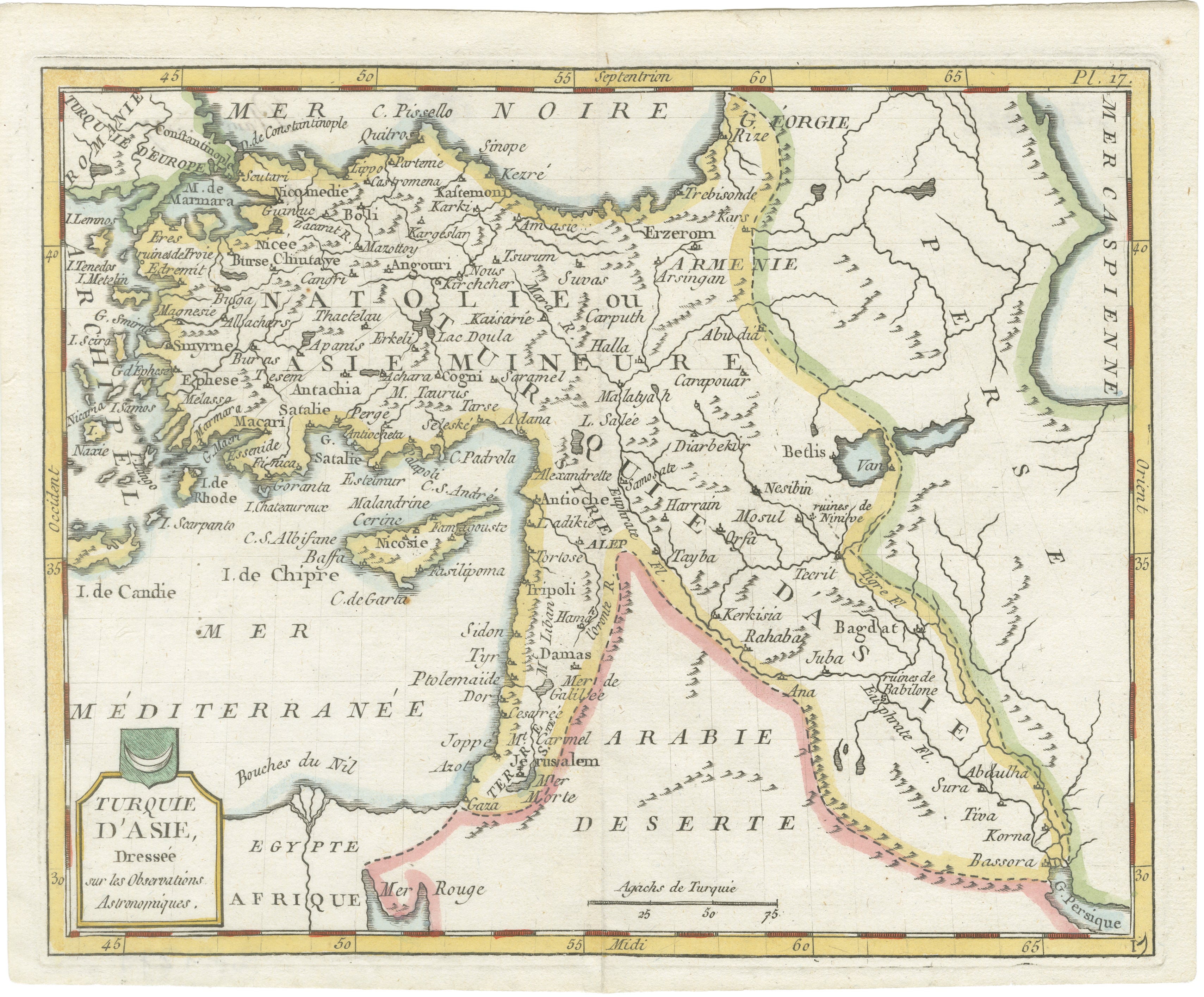
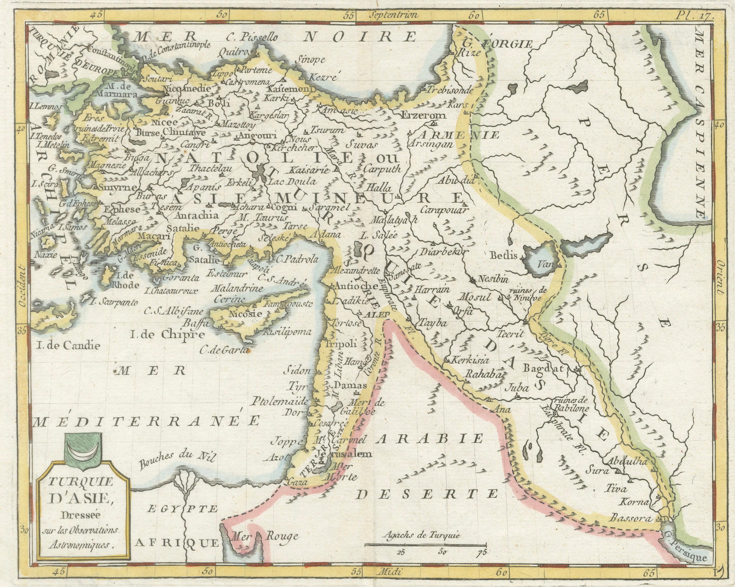
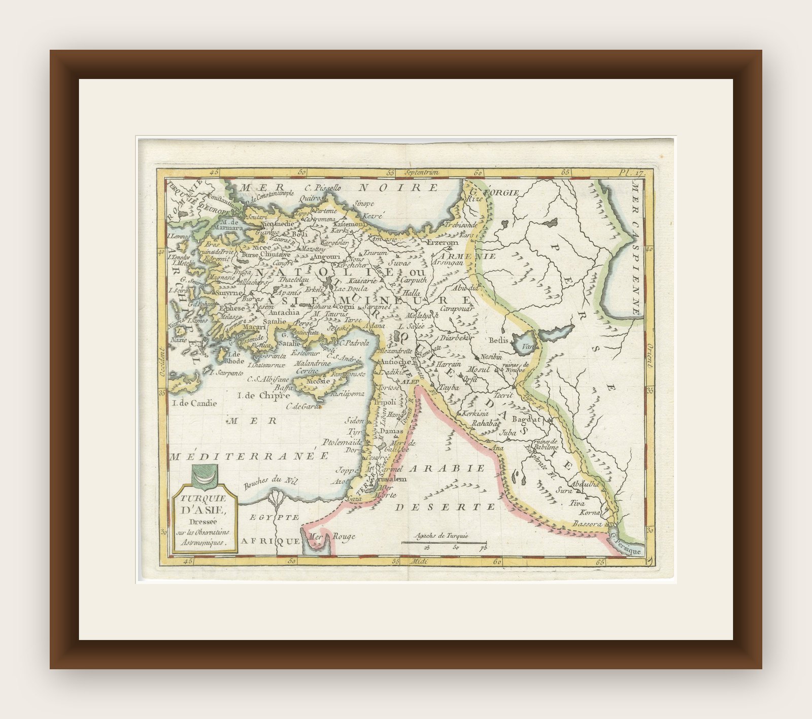
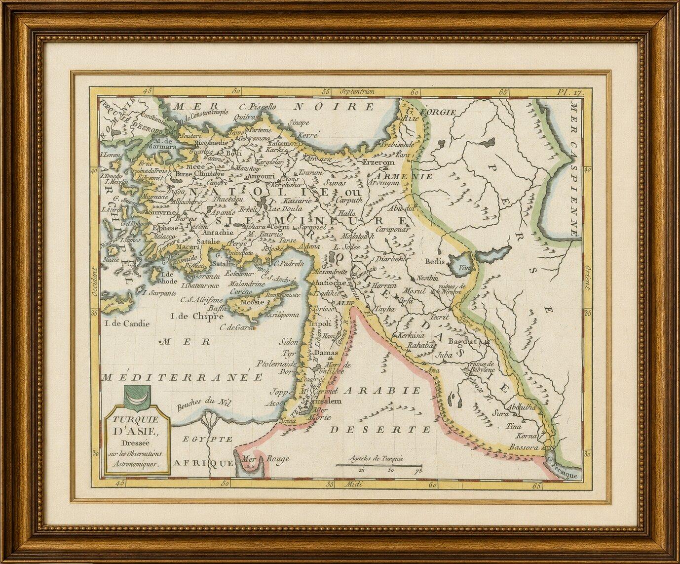
Ottoman Empire Asia Map, Turquie d’Asie by La Porte, Paris, 1779
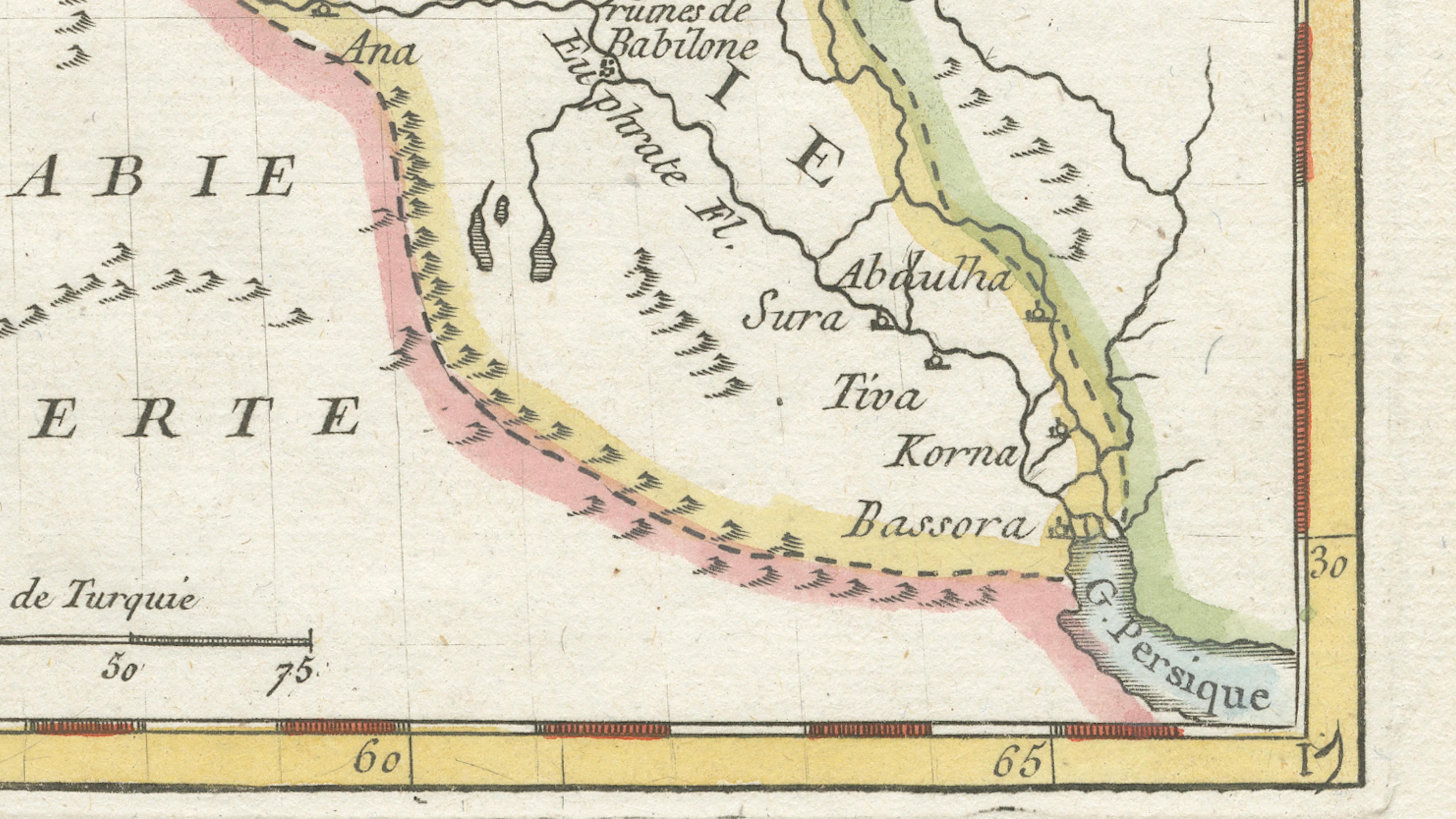
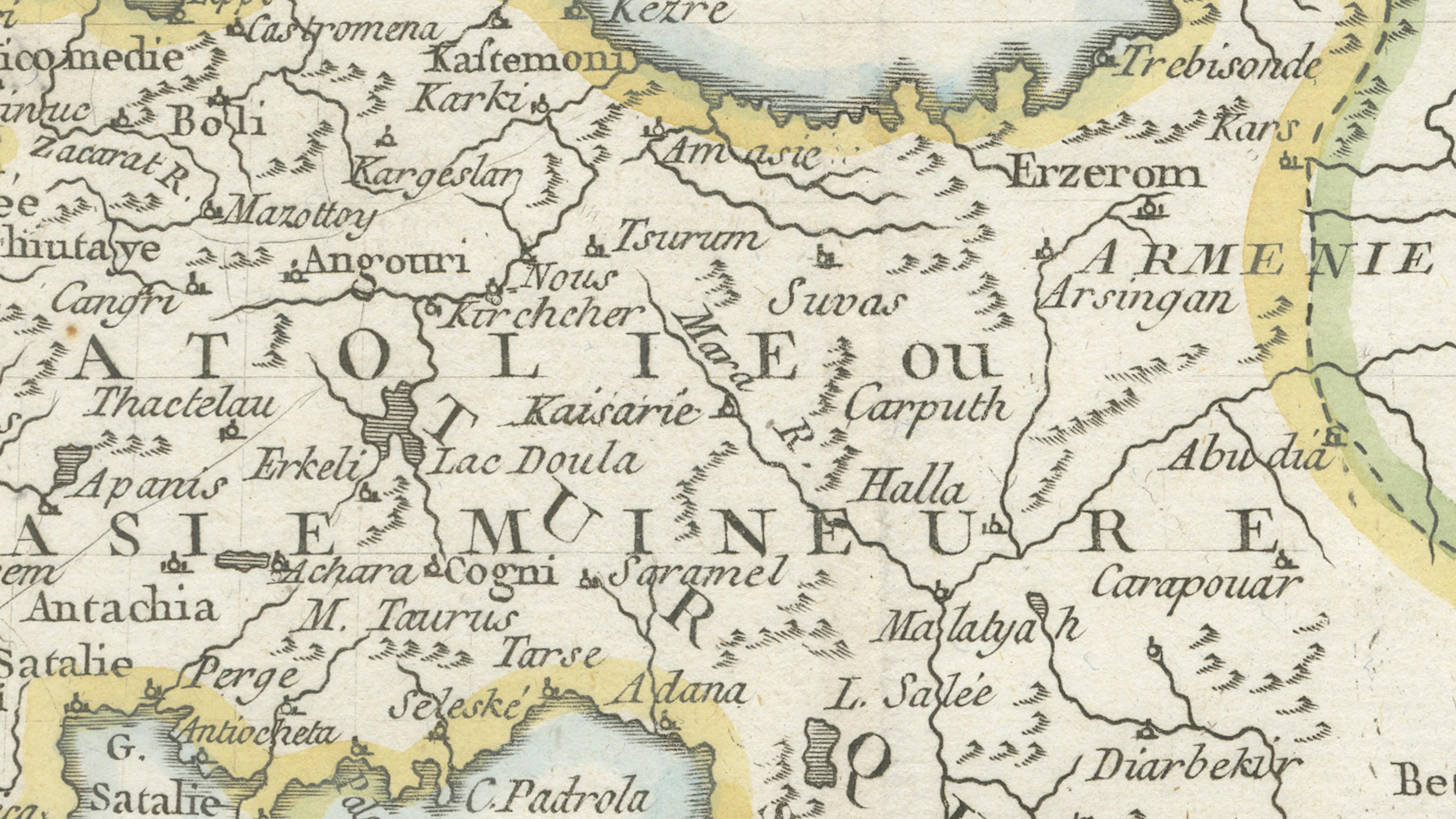
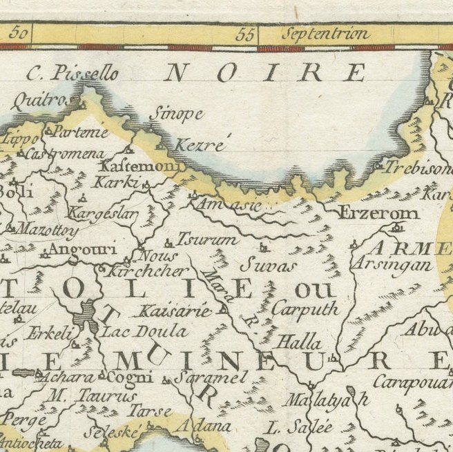
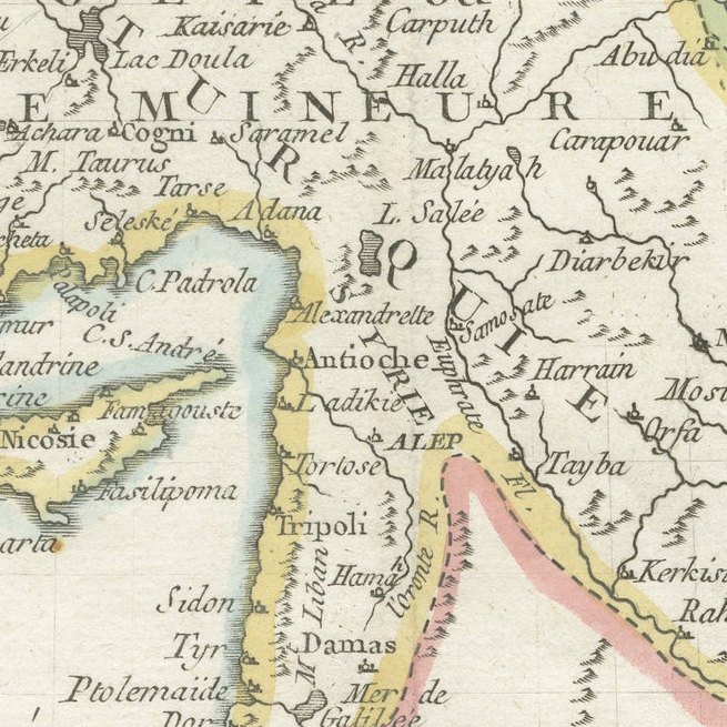
This elegant late-18th century map of the Ottoman Empire in Asia, titled “Turquie d’Asie,” was published in Paris around 1779 by the French geographer and historian Joseph de La Porte. The map presents a fascinating depiction of the Asian provinces of the Ottoman Empire during a period of immense geopolitical importance, covering much of modern-day Turkey, Syria, Lebanon, Israel, Jordan, Iraq, and surrounding regions extending toward the Persian Gulf and the Caucasus.
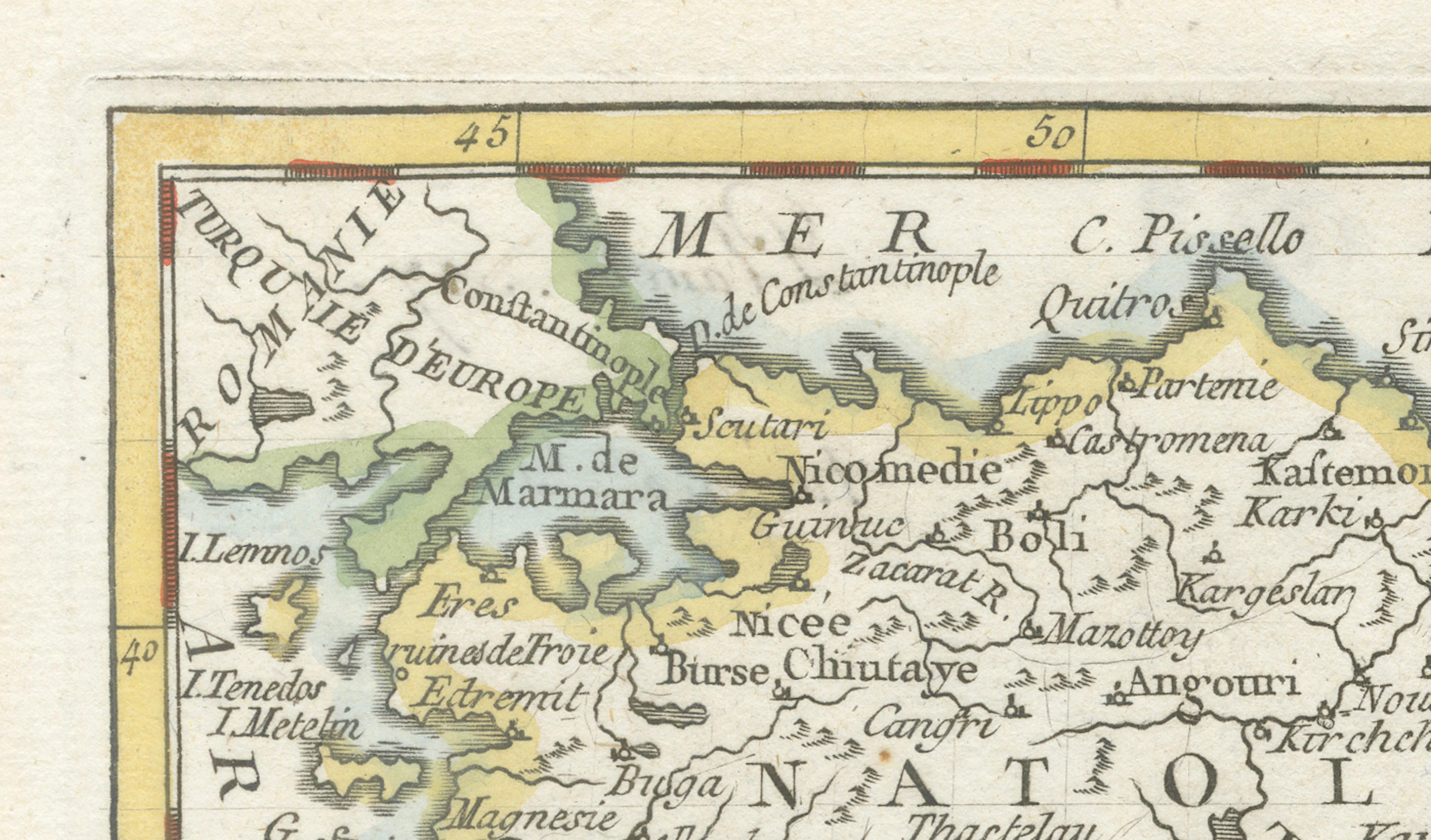
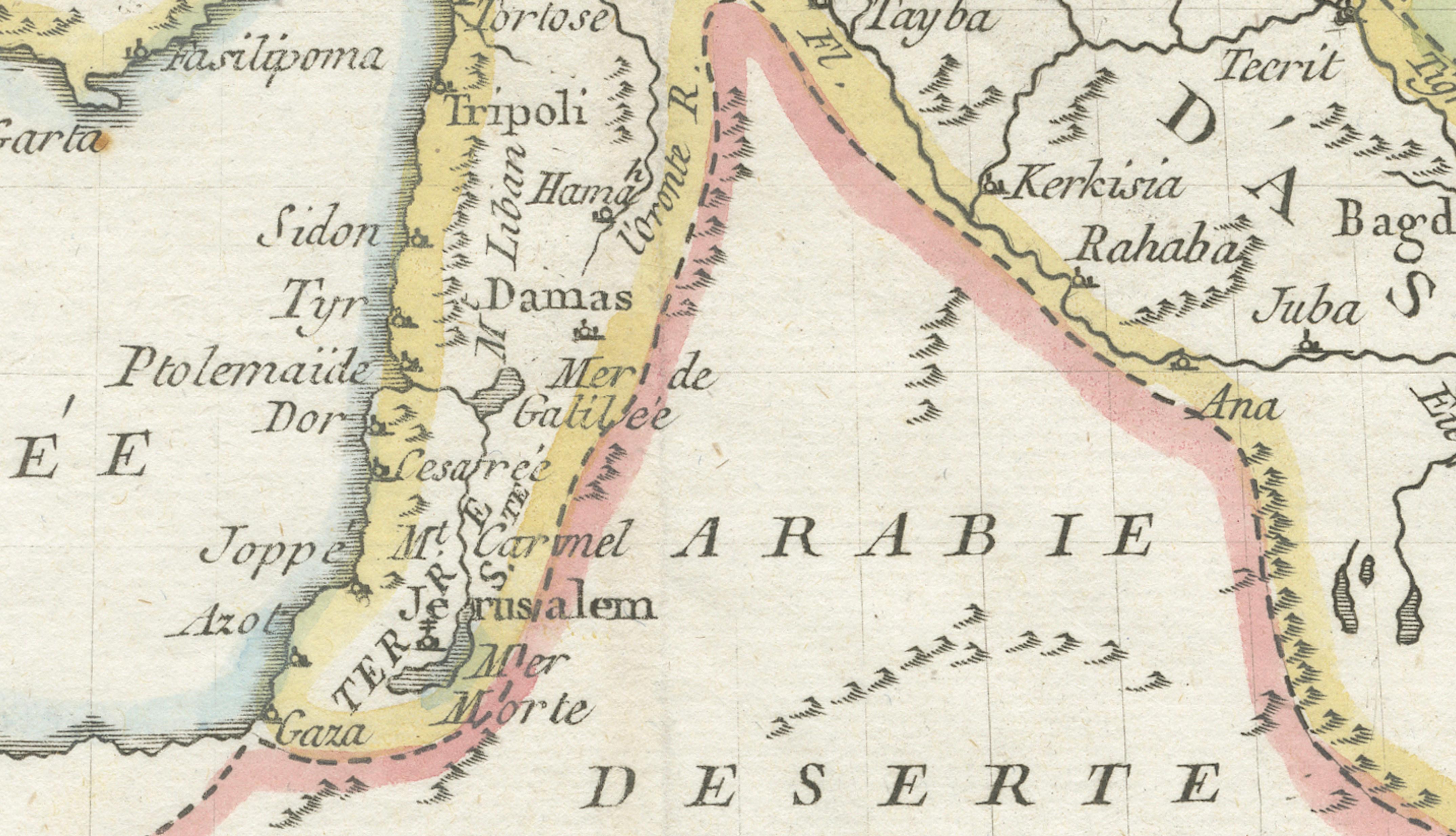
Engraved in fine detail and enhanced with contemporary hand-colored outlines, the map combines scientific cartography with the refined decorative style characteristic of French Enlightenment-era atlas production. Major cities including Constantinople, Smyrna, Aleppo, Damascus, Jerusalem, Baghdad, and Bassora are carefully identified, while rivers, mountain ranges, deserts, and coastlines are rendered with remarkable clarity. Cyprus appears prominently in the Mediterranean, alongside portions of the Caspian Sea, Red Sea, and Persian Gulf, emphasizing the strategic maritime and commercial significance of the Ottoman territories.
The title cartouche in the lower left corner, elegantly framed with draped ornament, reflects the restrained yet sophisticated aesthetic favored in French geographic works of the late 18th century. The delicate original outline coloring softly distinguishes administrative and regional divisions throughout the empire, enhancing both readability and decorative appeal without overwhelming the engraved detail.
Joseph de La Porte was known for producing historical and geographical works intended for an educated European audience during the Enlightenment. Maps such as this one offered contemporary viewers insight into the political structure and territorial extent of one of the world’s great empires at a time when European diplomatic, military, and commercial interest in the Near East was rapidly increasing.
Beyond its historical importance, the map has strong decorative qualities. The balanced composition, elegant typography, and muted hand coloring make it particularly attractive for collectors interested in Ottoman history, Middle Eastern cartography, or 18th-century French engraving. It would display beautifully in both traditional and contemporary interiors, especially when framed with a warm ivory mat and a walnut, black, or gilt frame.
Note: The map is an original antique engraving, not a reproduction. The pieces are sold unframed; any framed images are shown for presentation and interior inspiration only and may not always be to scale.
Framing tips: Excellent presented in a dark walnut or ebonized frame with a wide cream mat for a classic library appearance. Also highly suitable for Ottoman-inspired or Mediterranean interiors with an antique gilt frame.