
Maps & PrintsBartele Gallery · Langweer
Home / Antique Maps / Europe / Western Europe / France

France · 18th century

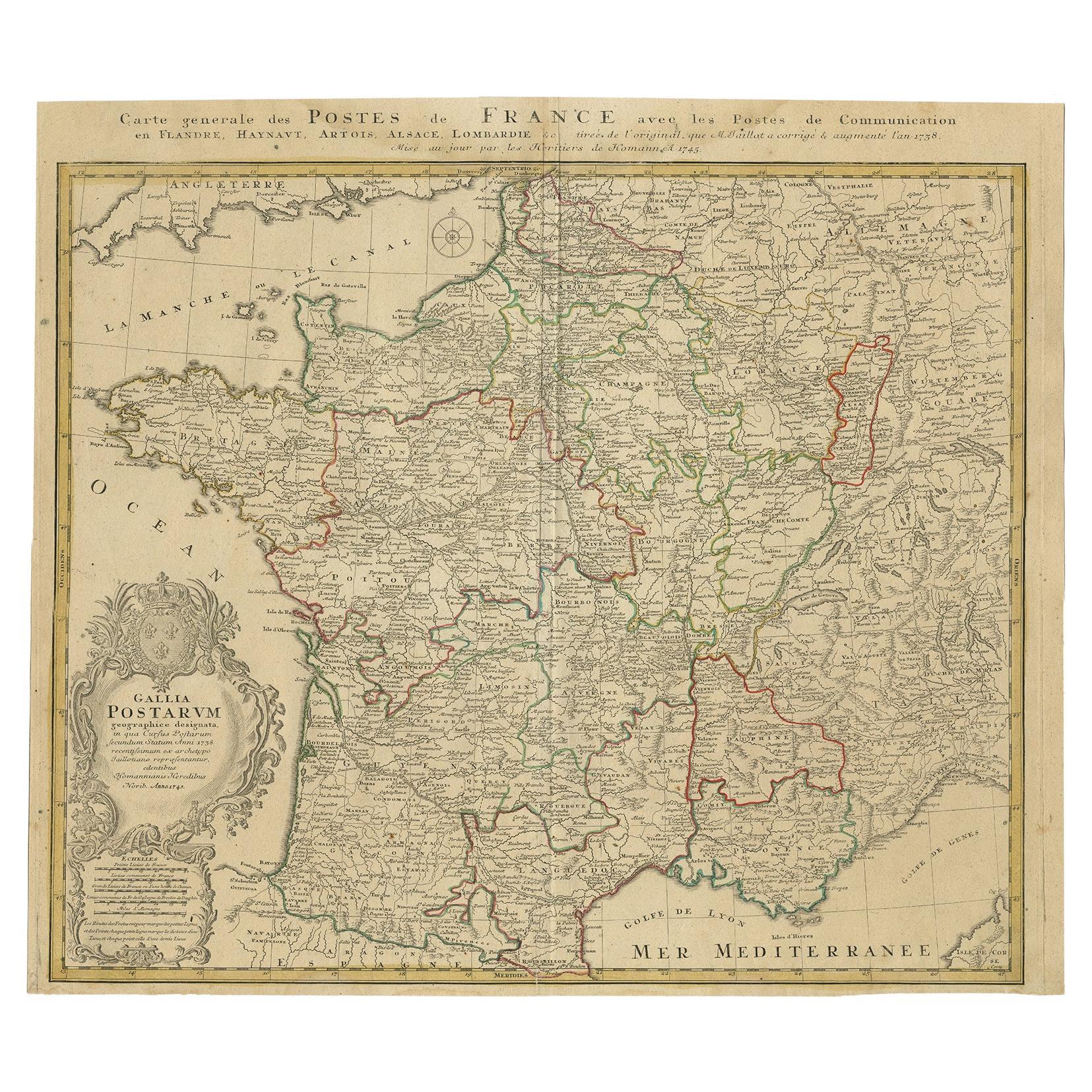
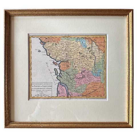
Homann Heirs Map of France – Antique Hand-Colored, circa 1745

€ 400

Original antique · The actual sheet photographed · Certificate of authenticity on request · Sold unframed · Worldwide shipping from € 15 (rates)

Date
1745
Technique
Engraved
Sheet size
52 × 59.5 cm (20.5 × 23.4 in)
Condition
Good
Reference
BGI-00077

Condition

General age-related toning. Stain at the upper side of the map. Please review the images for further condition details.
About this sheet

Antique map titled 'Gallia Postarum geographice designata in qua Cursus Postarum Secundum Statum (..)'. Unusual postal map of France, with coat of arms. Very detailed map showing all the postal routes and offices throughout France.

Artists and Engravers: Homann Heirs was a German publishing firm that enjoyed a major place in the European map market throughout the eighteenth century. Founded in 1702 by Johann Baptist Homann, the business passed to his son, Christoph, upon Johann’s death in 1724. Christoph died in 1730, aged only 27, and the firm was inherited by subsequent Homann heirs. This altered the name of the company, which was known as Homann Erben, or Homann heirs. The firm continued in business until 1848.

Condition: Good, general age-related toning. Stain at the upper side of the map, please study image carefully.
Date: c.1745
Overall size: 59.5 x 52 cm.
Image size: 56 x 47.5 cm.

More from France

Ask about this sheet

Homann Heirs Map of France – Antique Hand-Colored, circa 1745
1745 · Ref. BGI-00077 · € 400
We reply by email, usually within one working day.