About this sheet
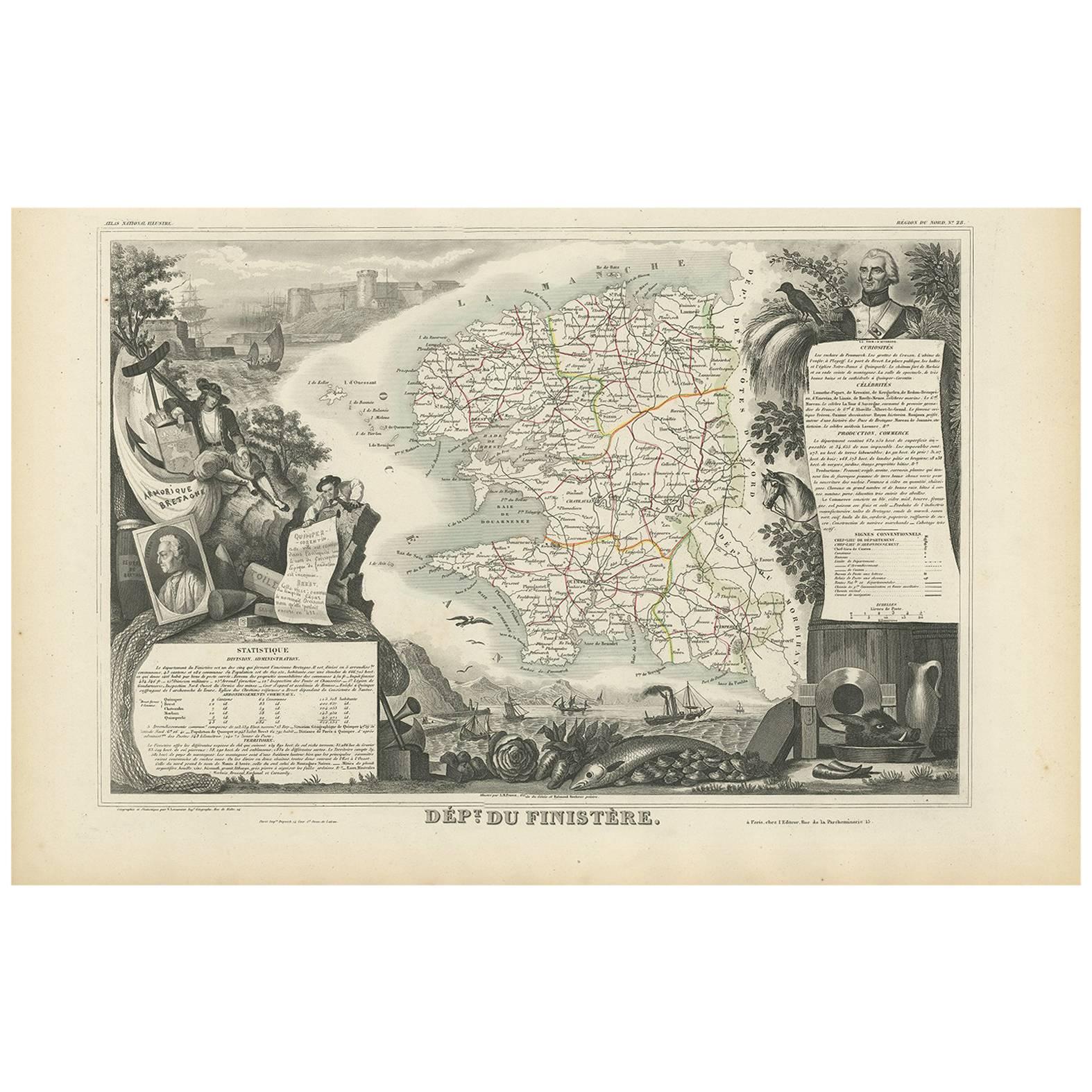
Antique French Map – Finistère, Brittany with Ouessant & Mont St-Michel, 1854
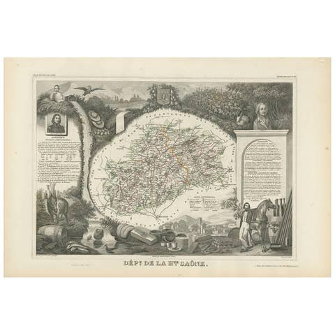
Antique map titled 'Dépt. du Finistère'. Map of the French department of Finistère, Brittany, France. This area of France is known for its cider production and excellent boar hunting. The map also includes the island of Ouessant, which marks the north-westernmost point of European France. The dramatic island and castle of Mont Saint-Michel is depicted just of the coast. The whole is surrounded by elaborate decorative engravings designed to illustrate both the natural beauty and trade richness of the land. There is a short textual history of the regions depicted on both the left and right sides of the map. This map originates from ‘Atlas National de la France Illustré’. Published by A. Combette, Paris, 1854.