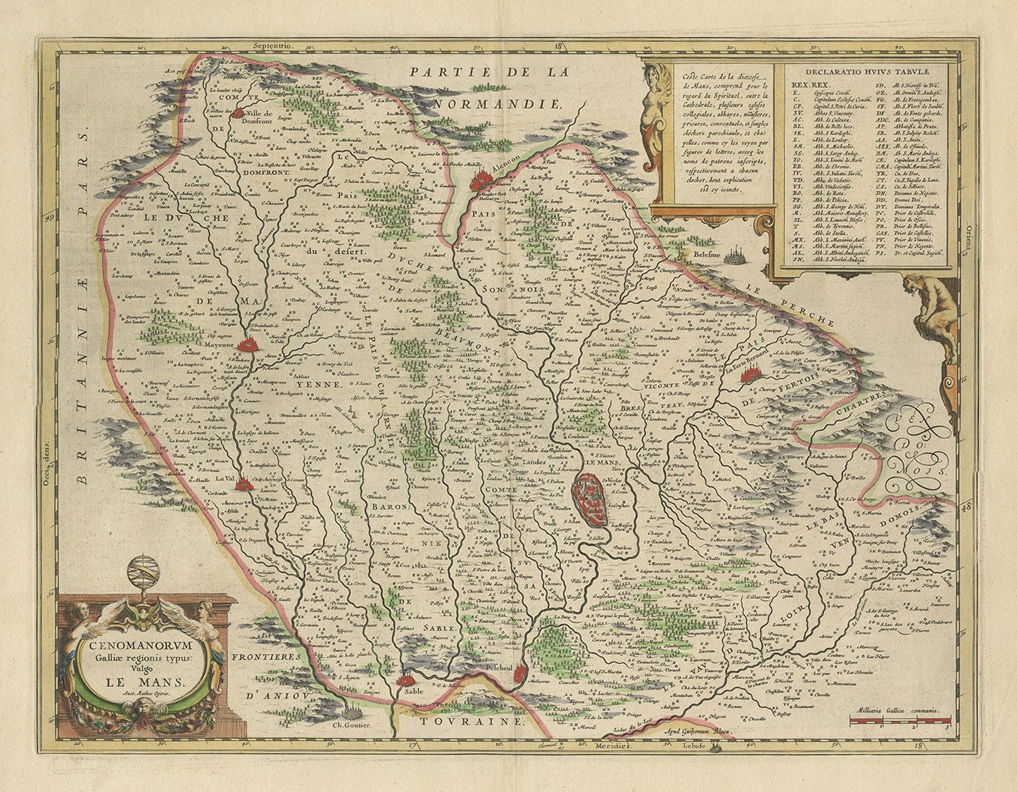
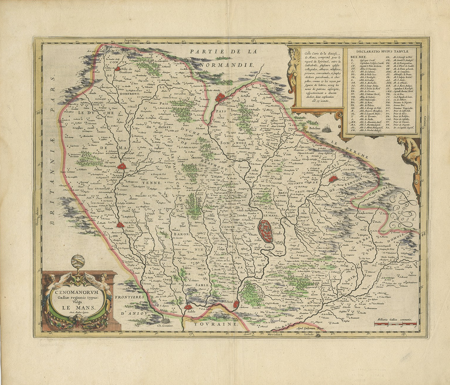
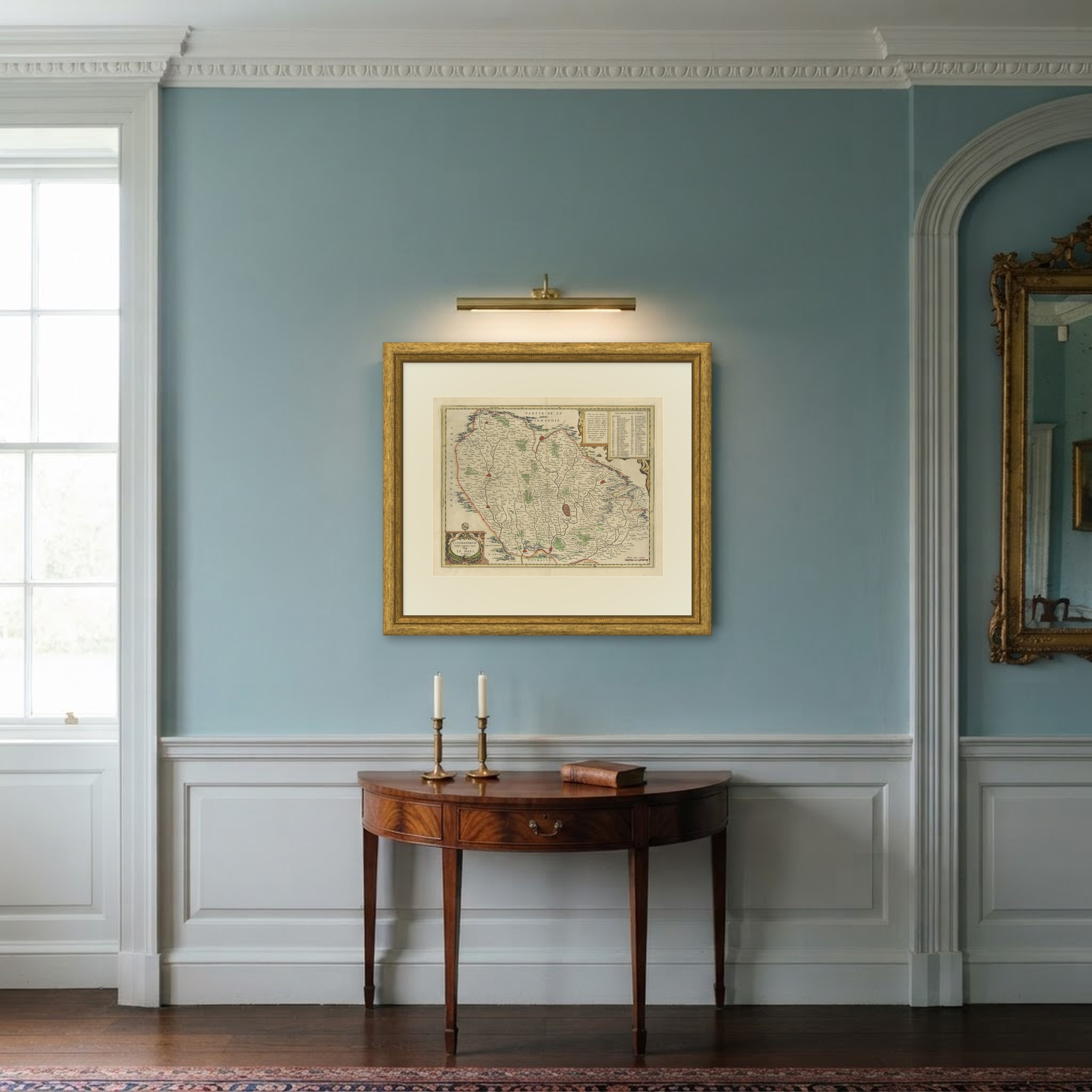
Antique Map of Le Mans and Maine by Willem Blaeu, circa 1640
€ 380
Original antique · The actual sheet photographed · Certificate of authenticity on request · Sold unframed · Worldwide shipping from € 15 (rates)
Date
circa 1640
Mapmaker / artist
Mace Ogier (Matthaeus Ogerius), cartographer
Publisher
Willem Janszoon Blaeu, Amsterdam
Technique
Copper Engraving
Coloring
Original hand color
Sheet size
51 × 59 cm (20.1 × 23.2 in)
Condition
Good
Reference
BG-12417-2
What the condition grades mean
Excellent
Bright and clean, with no faults worth mentioning.
Very good
Only light signs of age, such as faint toning.
Good
Normal signs of age for a sheet of this period: toning, some foxing, small marks or neat old repairs.
Fair
Clear faults such as staining, tears or repairs, priced to match.
Every fault we see is written in the condition note, and the whole sheet is shown uncropped in the photos.
Condition
Loss or wear at the bottom right and top left corners. The bottom edge is uneven in one place. Light uneven toning, browner towards the edges. Marked handling soiling along all four edges. Scattered light foxing in the margin.
About this sheet
An original antique hand colored map of the French province of Maine, centered on the city of Le Mans and engraved on copper for the Amsterdam house of Blaeu. The title appears at the lower left in a strapwork cartouche surmounted by a mask and swags of fruit, lettered CENOMANORVM Galliae regionis typus: Vulgo LE MANS with the author's name beneath, and the imprint reads Apud Guiljelmum Blaeu at the foot of the plate. The borders of Normandy, Brittany, Anjou and Touraine are named around the edges of the sheet, the forests are drawn as stands of individual trees, the hills in profile, and a table of place names is set in a ruled panel at the upper right.
Willem Janszoon Blaeu founded the greatest of the Dutch atlas houses and his regional maps of France are among the finest of all seventeenth century cartography, as much for the quality of the engraving as for the ornament. The coloring here is in the Dutch manner, outline washes of green, pink and yellow along the provincial boundaries with the towns picked out in red, and it is the original coloring applied in the Amsterdam workshop rather than a later addition.
The cartouche is as much a part of this map as the geography, and it is a good example of the Blaeu strapwork at its most confident. The map covers Le Mans, the Sarthe and the old province of Maine. The sheet is large enough to hold a wall on its own above a fireplace or a chest.
Loss or wear at the bottom right and top left corners. The bottom edge is uneven in one place. Light uneven toning, browner towards the edges. Marked handling soiling along all four edges. Scattered light foxing in the margin.
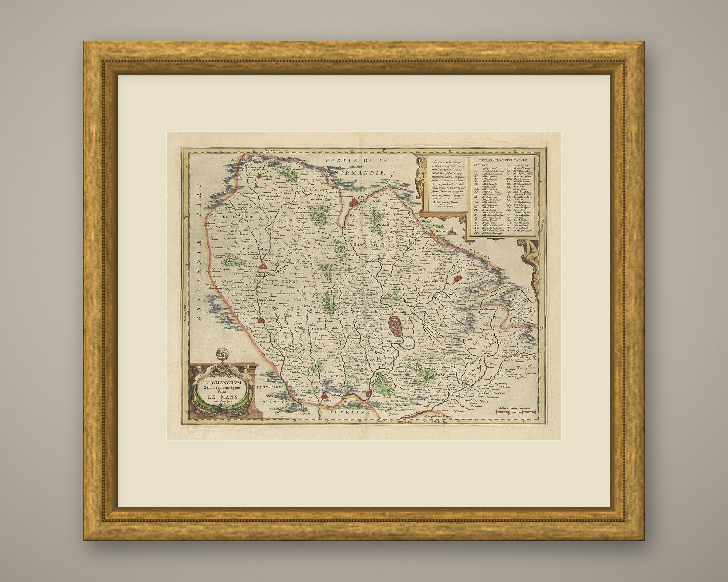
This is an original antique map, not a modern reproduction. This item is sold unframed. Any framed or interior images are shown for presentation and inspiration only, unless the listing explicitly states that the item is sold framed.