About this sheet
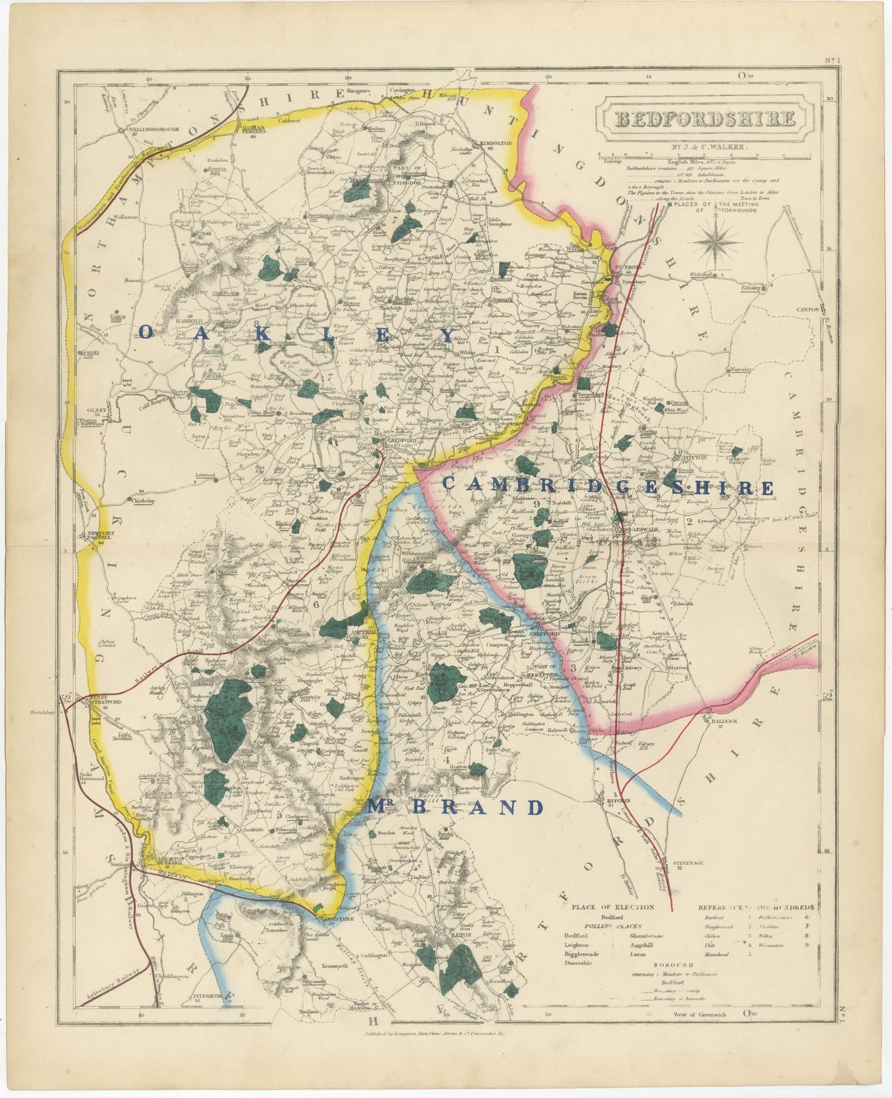
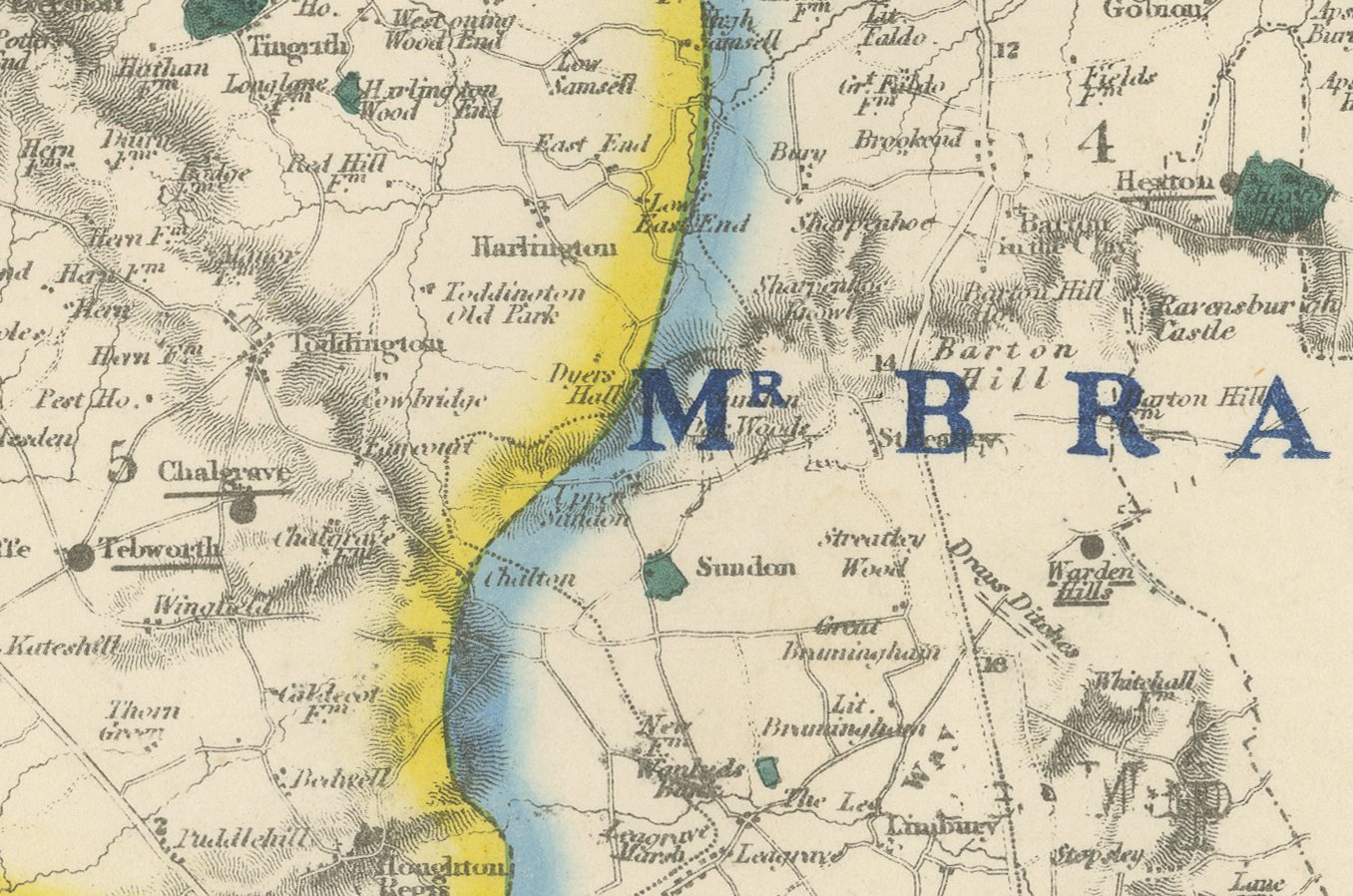
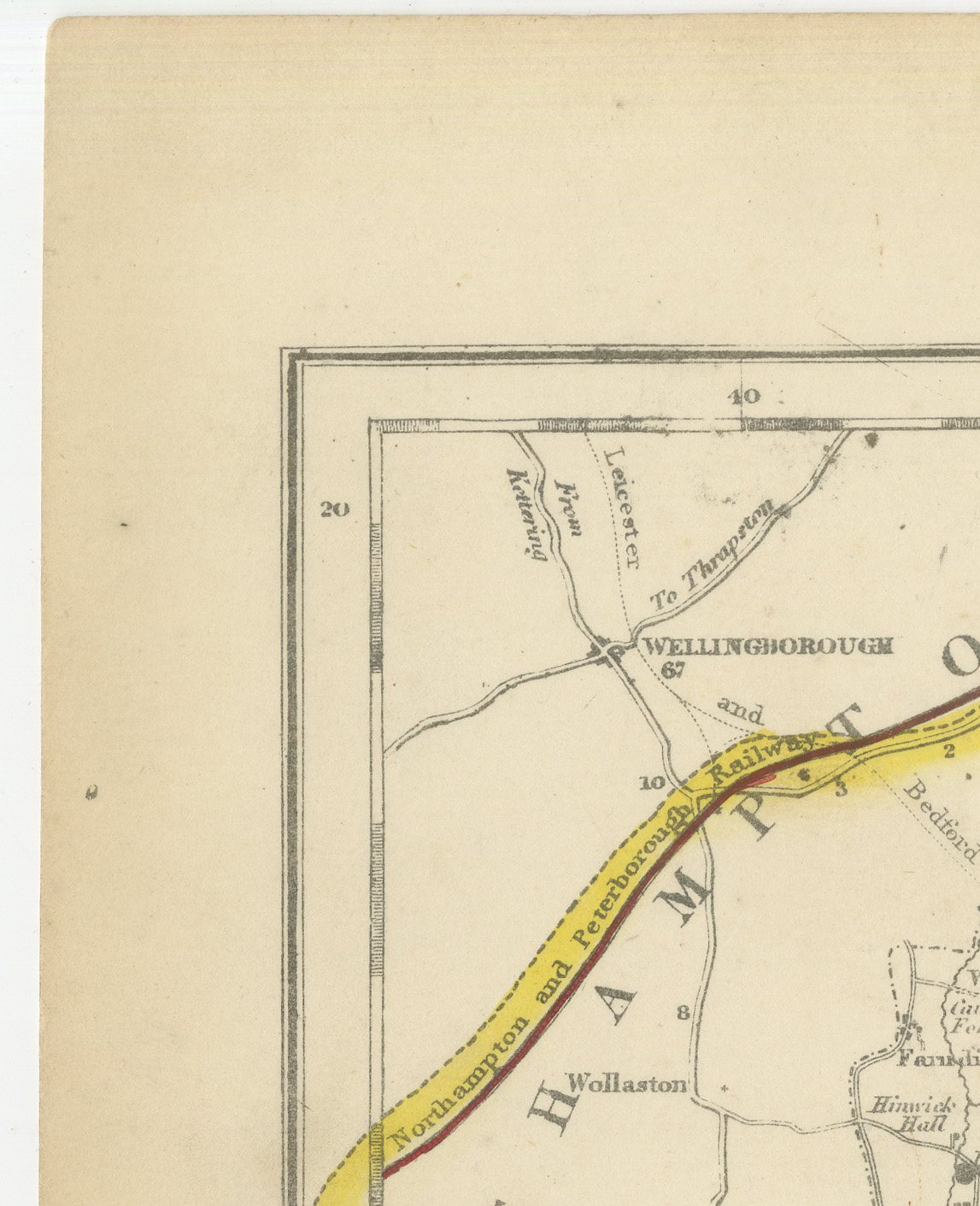
This antique fox hunting map of Bedfordshire, from Hobson's Fox-Hunting Atlas, was engraved by J. and C. Walker circa 1870 and shows three hunt countries laid over the county in hand colour. Oakley, in yellow, occupies most of the county from the Northamptonshire border down through Bedford itself; Cambridgeshire, in pink, runs down the eastern side of the sheet; and Mr Brand's country, in blue, takes the southern corner around Luton and Toddington. Each hunt's name is lettered in dark blue across its territory, and the three hunts meet at a single point just east of Bedford, a detail the engraver has rendered precisely, since a fox crossing that boundary changed which pack had the right to follow.
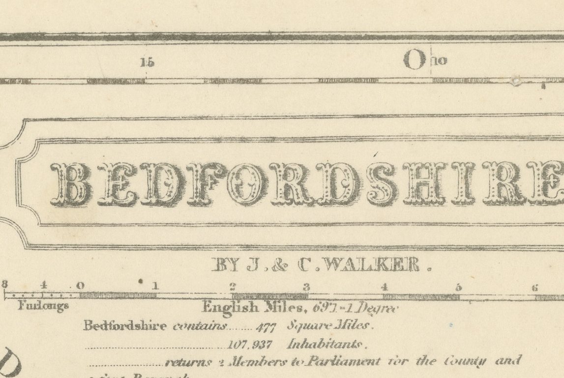
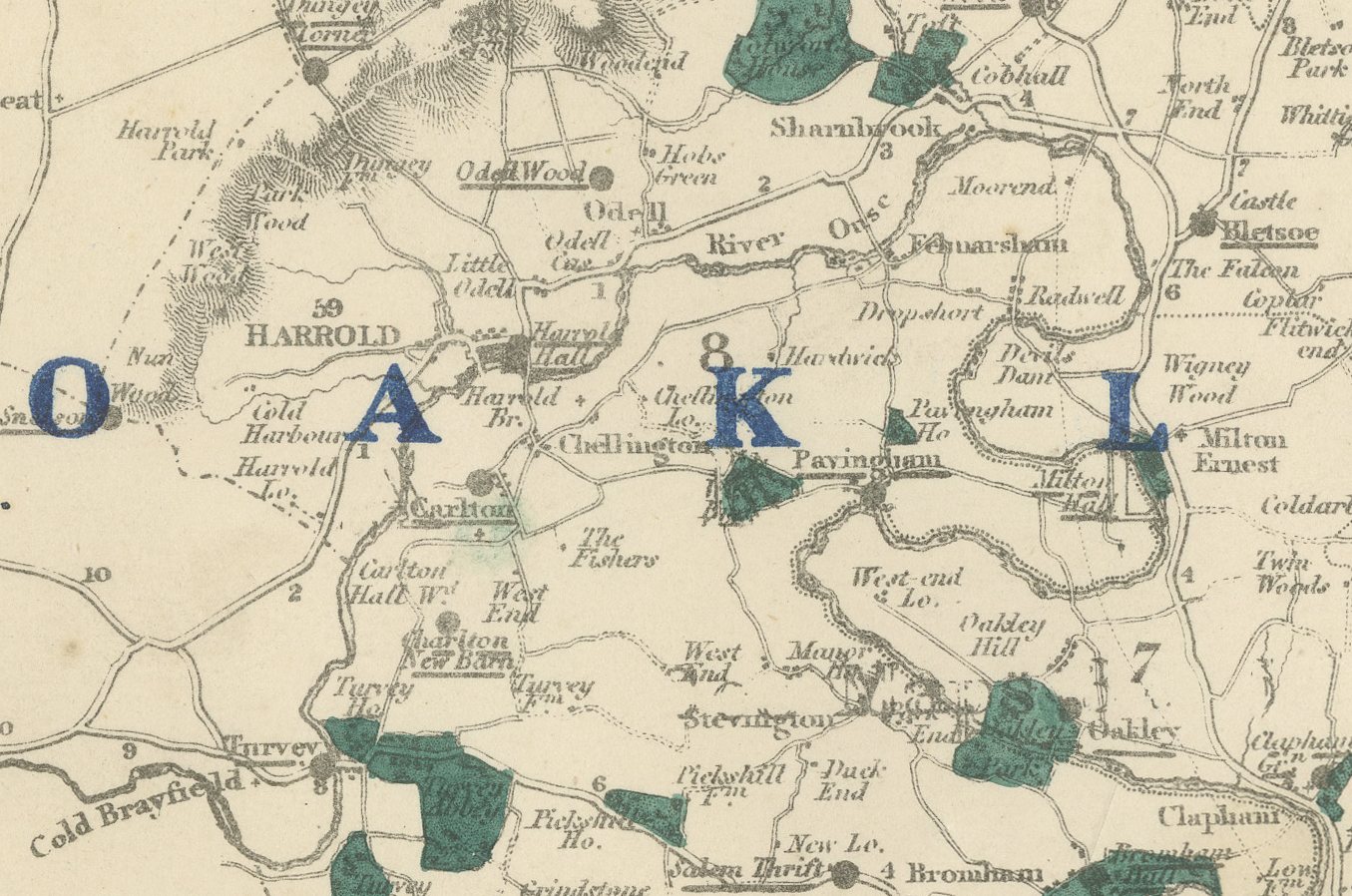
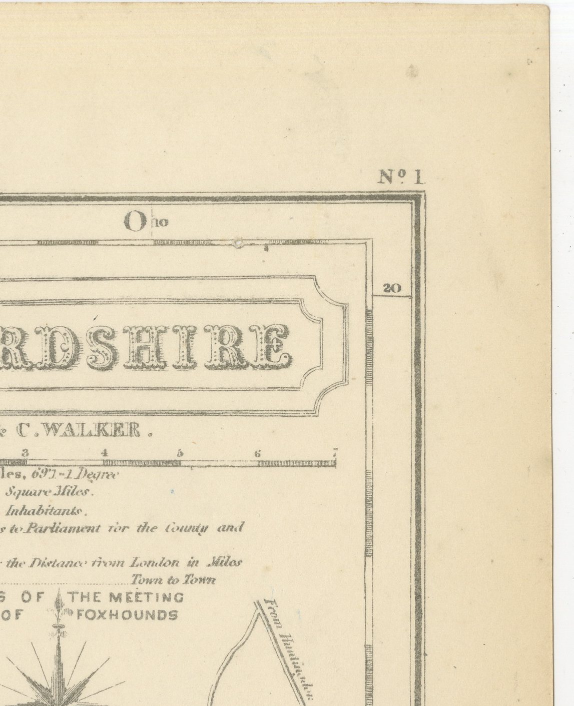
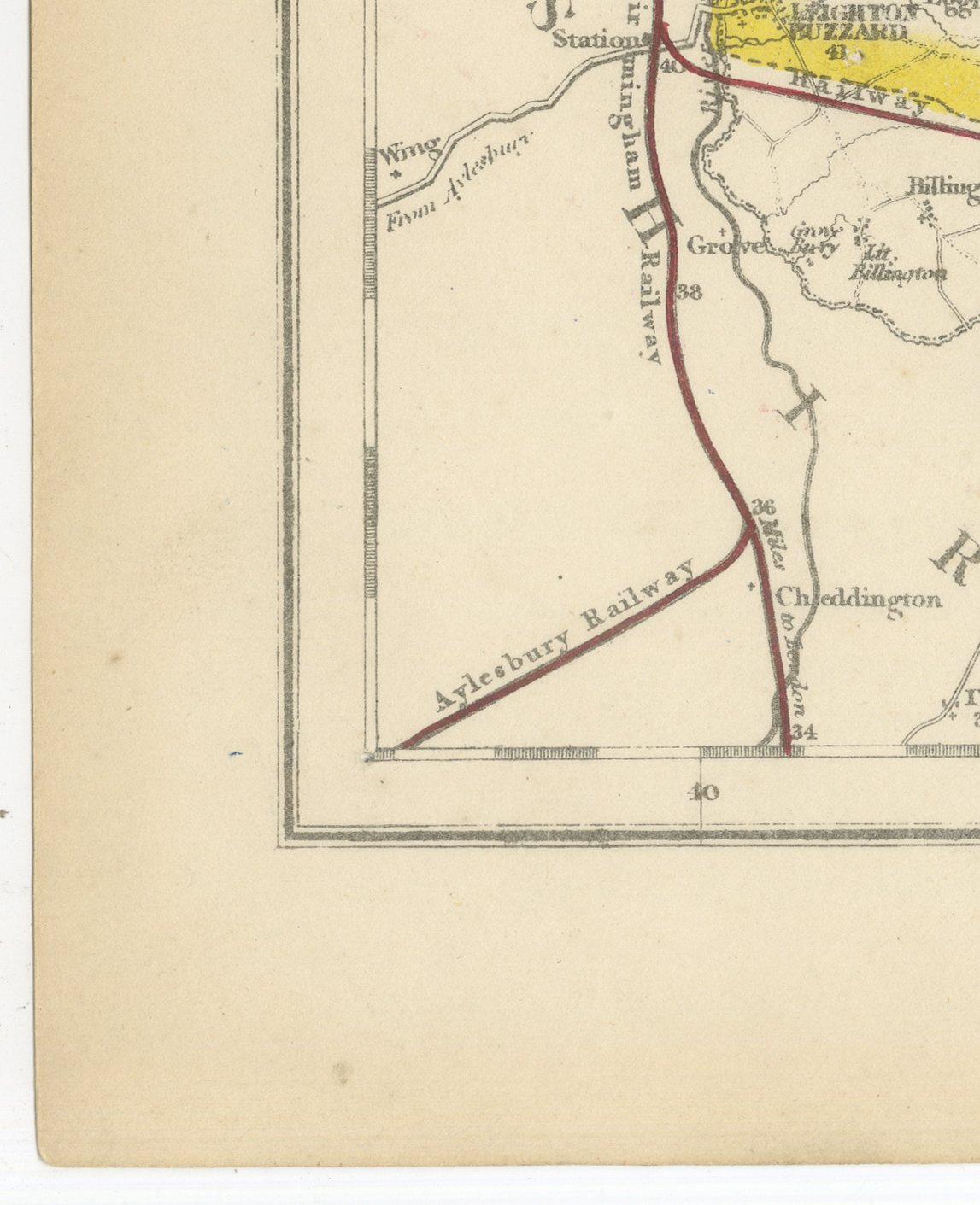
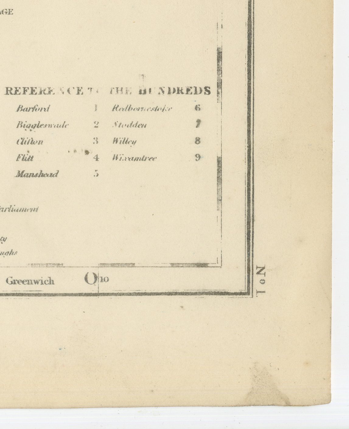
The sheet is headed "Bedfordshire" in an ornamental cartouche at upper right, with the imprint "By J. & C. Walker" beneath it and the county's statistical particulars of area, population and parliamentary representation alongside. Beneath the colour lies a detailed mid-Victorian county map: turnpike roads in red, the railway lines with a note distinguishing those "completed" from those "constructing", the River Ouse and its tributaries in pale blue, parks and woodland stippled in green, and a great many named seats and villages in fine roman type. A compass star sits at upper right, and the plate carries its series number, 1, in the top corner, marking Bedfordshire as the opening sheet of the atlas. Reference tables at lower right key the hundreds and the polling places for the county election, and the sheet is printed full and untrimmed, with the neighbouring counties named in the margin.
The atlas was compiled by William Colling Hobson, with maps engraved by John and Charles Walker, the London firm of J. and C. Walker, and published by Longman and Company of Paternoster Row. First issued around 1850 and reissued into the 1870s, Hobson's Fox-Hunting Atlas maps every county of England and the three Ridings of Yorkshire. This sheet belongs to the edition of circa 1870 and is a steel engraving, its hunt boundaries in original hand colour, applied in outline. Its purpose was to record, county by county, the working boundaries between one hunt's country and the next, information that ordinary county maps of the period did not attempt to show.
An original atlas sheet, suitable for framing, this antique fox hunting map of Bedfordshire will appeal to hunting families, to collectors of the county and to anyone with a connection to the place.
The sheet is in good condition for its age, with light age toning, slightly stronger at the edges, a faint central fold and a small brown stain near the lower right corner. Please review the images for further condition details.
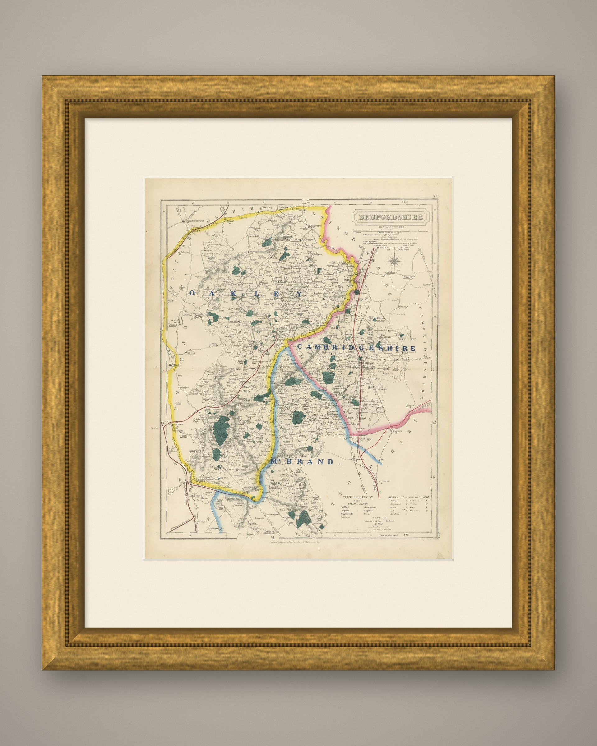
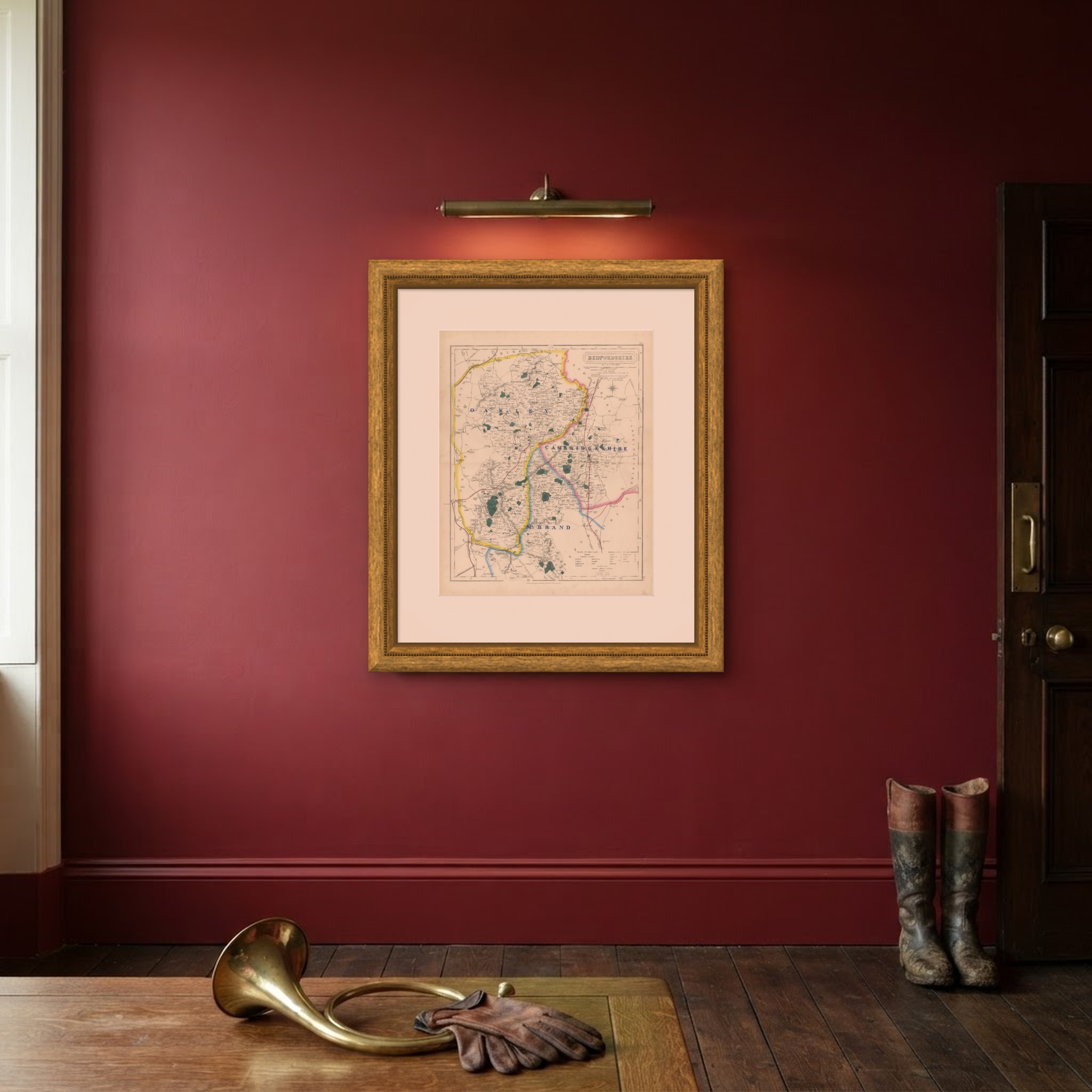
This is an original antique map, not a modern reproduction. This item is sold unframed. Any framed or interior images are shown for presentation and inspiration only, unless the listing explicitly states that the item is sold framed.