About this sheet
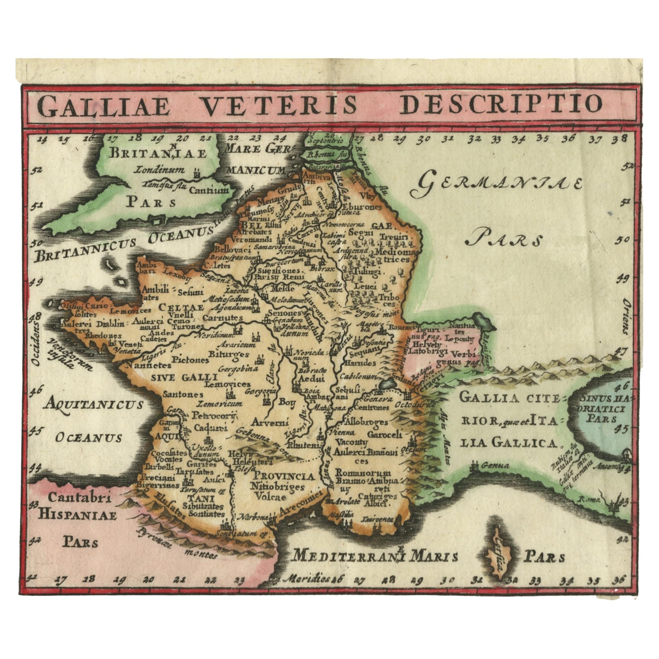
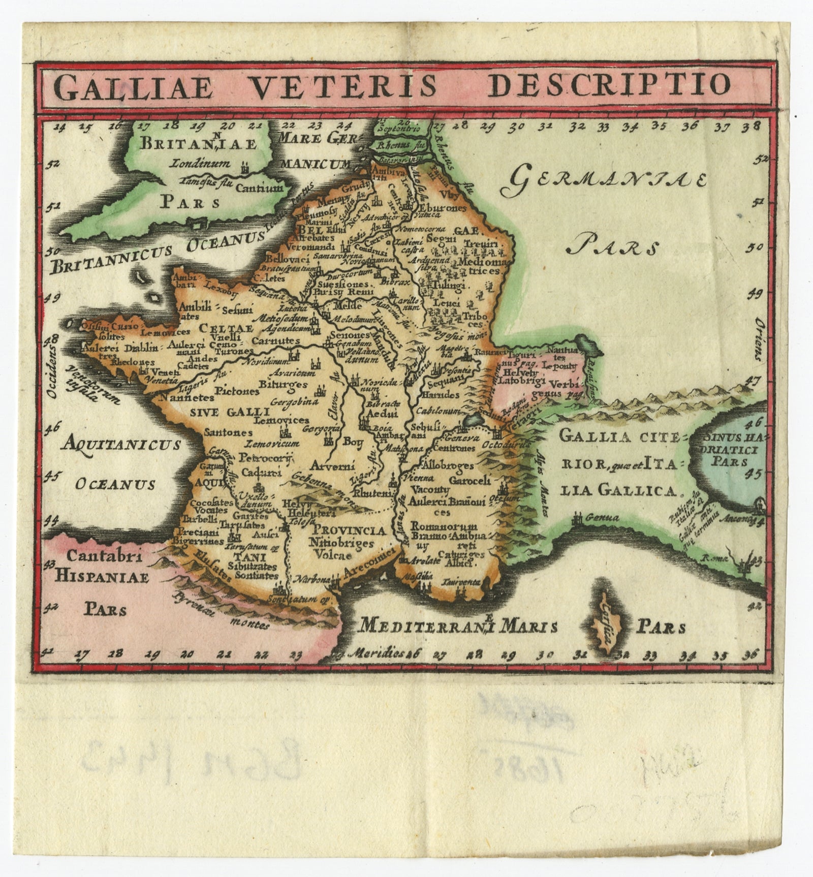
Antique map titled 'Galliae Veteris Descriptio.' Charming miniature map of France from the pocket atlas 'Introductionis in Universam Geographiam tam Veterem quam novam .. Acessit P. Bertii (Bertius) Brevarium Orbis Terrarum', by Ph. Cluverius (Cluver).
Artists and Engravers: Philipp Cluver (1580 - 1622), early modern German geographer and historian.
Condition: Good, given age. A few light creases. Original folds as issued. General age-related toning and/or occasional minor defects from handling. Please study image carefully.
Date: 1685
Overall size: 12 x 13 cm.
Image size: 11.4 x 9.5 cm.