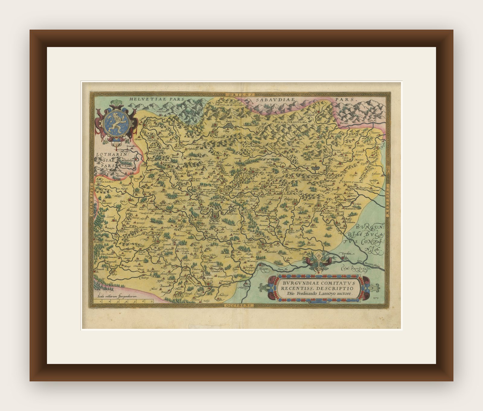
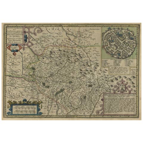
1579 Ornate Map of Burgundy County by Ferdinand de Lannoy
€ 990
Original antique · The actual sheet photographed · Certificate of authenticity on request · Sold unframed · Worldwide shipping from € 15 (rates)
Date
1579
Mapmaker / artist
Ferdinand de Lannoy, though not as widely known as Ortelius, contributed significantly to the cartographic representations of European regions during the Renais
Sheet size
43.5 × 55 cm (17.1 × 21.7 in)
Condition
Good
Reference
BG-13644-3
What the condition grades mean
Excellent
Bright and clean, with no faults worth mentioning.
Very good
Only light signs of age, such as faint toning.
Good
Normal signs of age for a sheet of this period: toning, some foxing, small marks or neat old repairs.
Fair
Clear faults such as staining, tears or repairs, priced to match.
Every fault we see is written in the condition note, and the whole sheet is shown uncropped in the photos.
Condition
Given age. General age-related toning and minor defects from handling, mainly around the borders. One old repair with tape on the bottom but outside the plate-mark. Please study scans carefully.
About this sheet
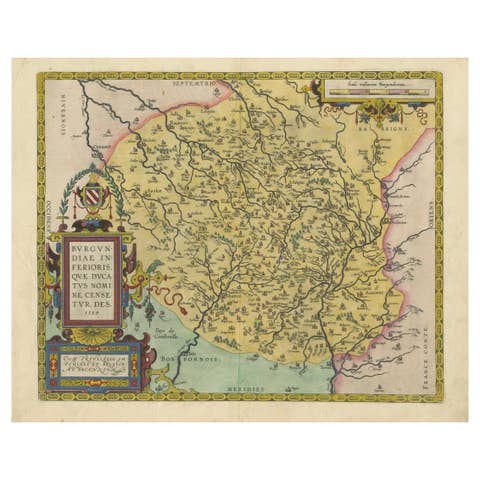
1579 Ornate Map of Burgundy County by Ferdinand de Lannoy
Description of the Map:
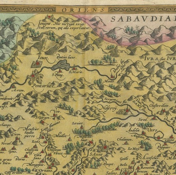
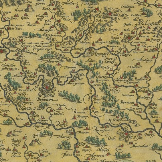
This is a beautifully detailed map of the Burgundy region, titled "Bvrgvndiae Comitatus Recentiss. Descriptio," created by Ferdinand de Lannoy and published in 1579. The map is an original and a fine example of Renaissance cartography, with its rich, hand-colored details showing cities, rivers, and topographical features. It includes parts of neighboring regions such as Lotharingiae (Lorraine) and parts of Helvetia (Switzerland), indicating its extensive coverage. The map is adorned with a decorative title cartouche and a striking coat of arms, enhancing its visual appeal.
Year of Publication: 1579.
Collectors might be particularly interested in the depiction of Burgundy due to its historical importance and the aesthetic qualities of the map. The inclusion of parts of Lorraine and Switzerland might also appeal to those interested in these areas.
Condition of the Map: The map appears to be in very good condition, considering its age. The colors are vibrant, suggesting careful preservation, and there are no visible major tears or water damage. The paper shows typical signs of aging like slight yellowing, which adds to the authenticity and charm of this antique piece.
This map would appeal to collectors who are interested in the historical and geographical aspects of Burgundy, as well as the artistic and cartographic style of the late 16th century.